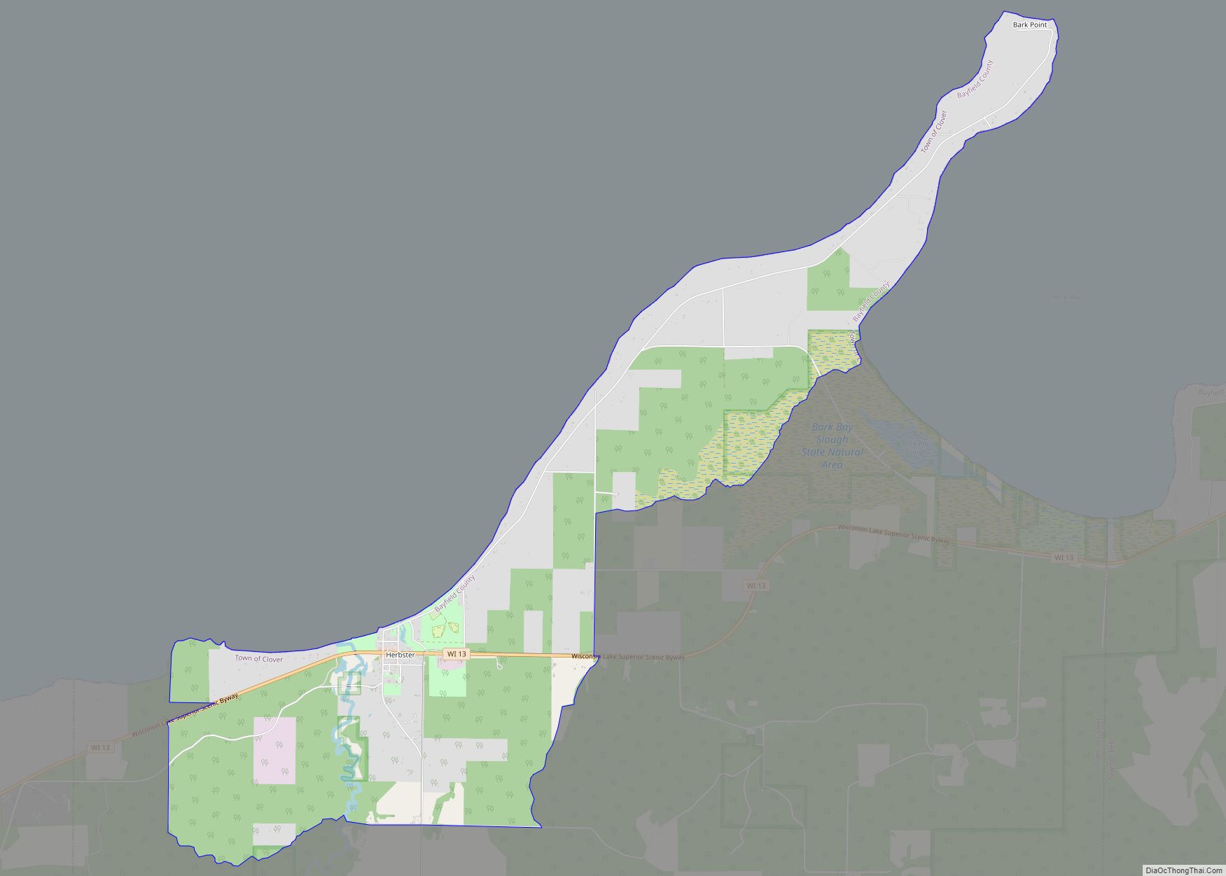
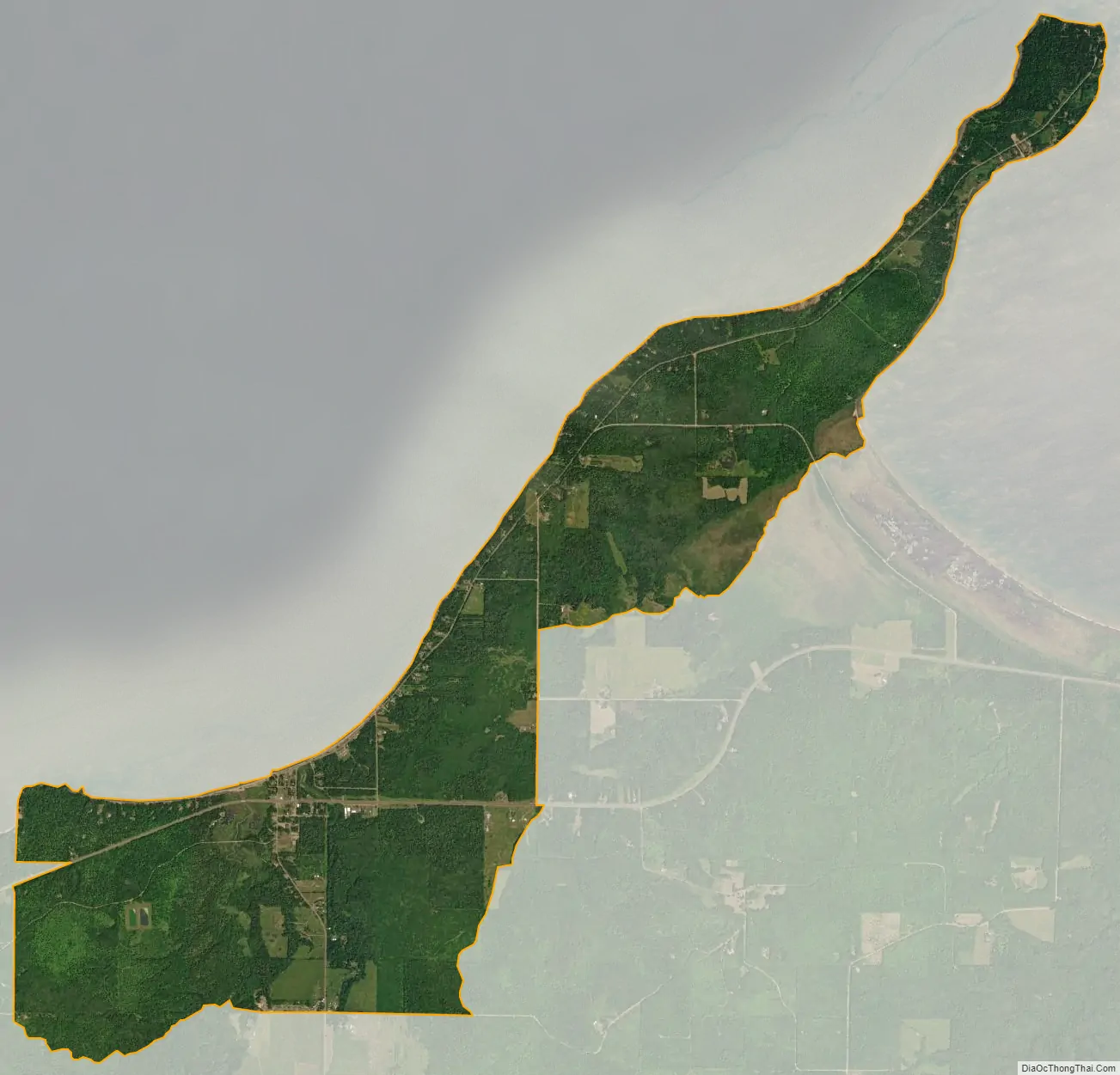
Herbster is a census-designated place (CDP) in the Town of Clover in Bayfield County, Wisconsin, United States, located on the south shore of Lake Superior. Herbster is 7 miles (11 km) east of Port Wing and 8 miles (13 km) west of Cornucopia on Wisconsin Highway 13, the main route through the community. The primary north/south route is by Lenawee Road / Forest Road 262, leading from Lake Superior to the Chequamegon National Forest. As of the 2010 census, its population was 104. Herbster has an area of 5.572 square miles (14.43 km), all of it land.
The Cranberry River joins the lake in the middle of the community. The unique ecosystems of Bark Point and Bark Bay sit just to the east of Herbster.
Herbster’s ZIP code is 54844.
| Name: | Herbster CDP |
|---|---|
| LSAD Code: | 57 |
| LSAD Description: | CDP (suffix) |
| State: | Wisconsin |
| County: | Bayfield County |
| Elevation: | 623 ft (190 m) |
| Total Area: | 5.572 sq mi (14.43 km²) |
| Land Area: | 5.572 sq mi (14.43 km²) |
| Water Area: | 0 sq mi (0 km²) |
| Total Population: | 104 |
| Population Density: | 19/sq mi (7.2/km²) |
| ZIP code: | 54844 |
| Area code: | 715 and 534 |
| FIPS code: | 5533975 |
| GNISfeature ID: | 1566314 |
Online Interactive Map
Click on ![]() to view map in "full screen" mode.
to view map in "full screen" mode.
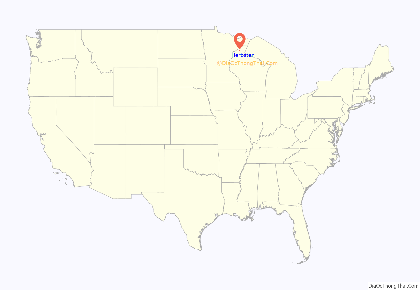
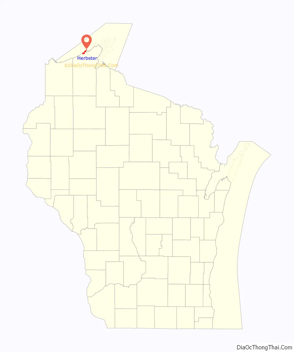
Herbster location map. Where is Herbster CDP?
History
According to legend, Herbster was named after a logger, Billy Herbster.
Herbster School closed its doors in 1990, but its historic log gymnasium remains open as a community center and town hall. School children from Herbster now attend school in Port Wing at South Shore School District.
Herbster Road Map
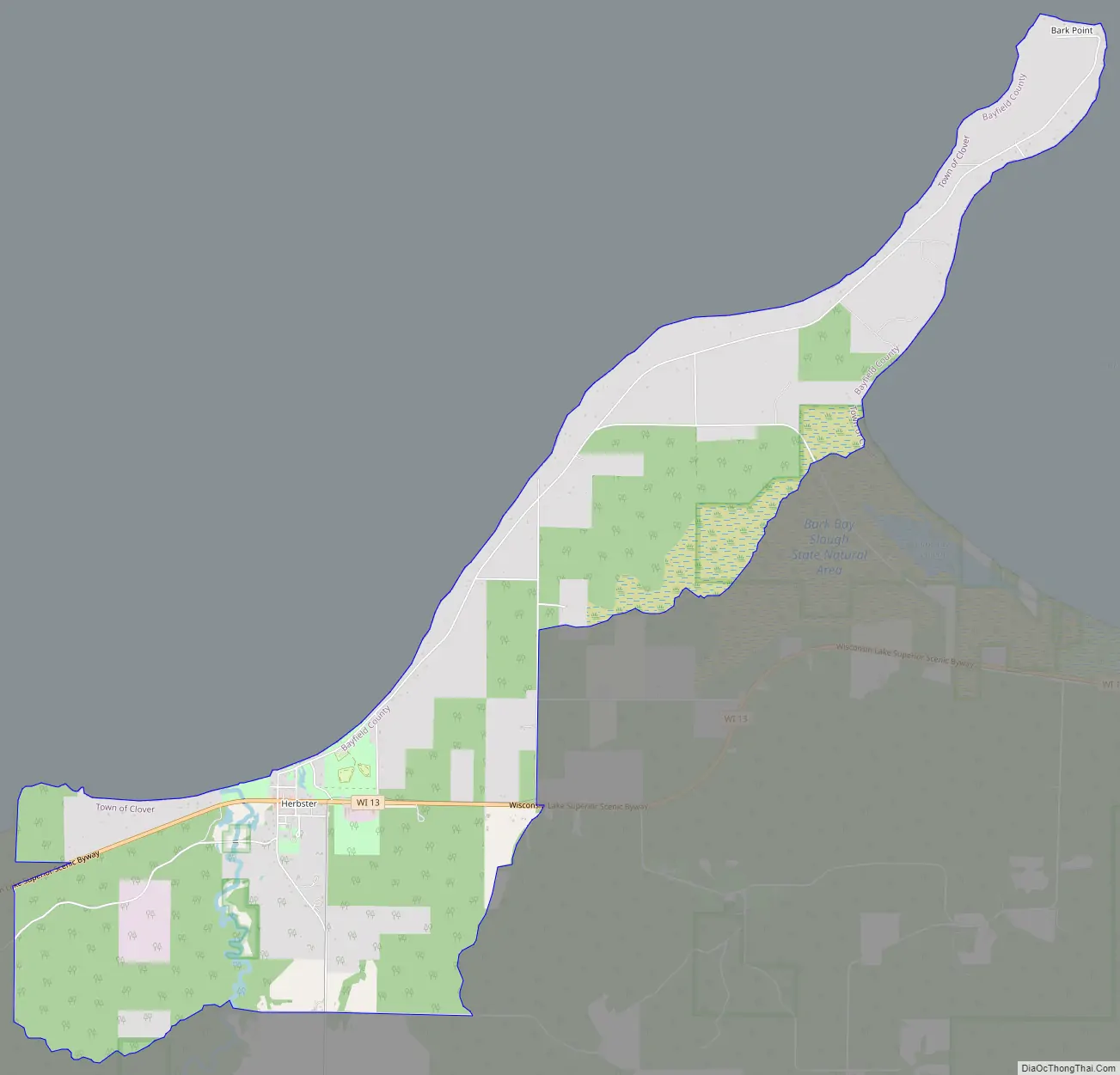
Herbster city Satellite Map
See also
Map of Wisconsin State and its subdivision:- Adams
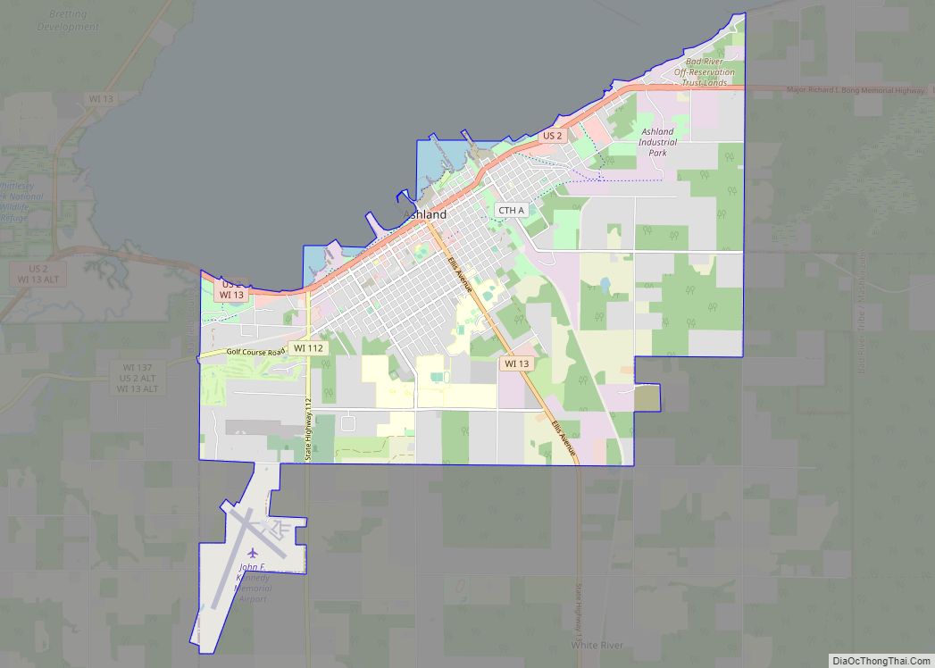
- Ashland
- Barron
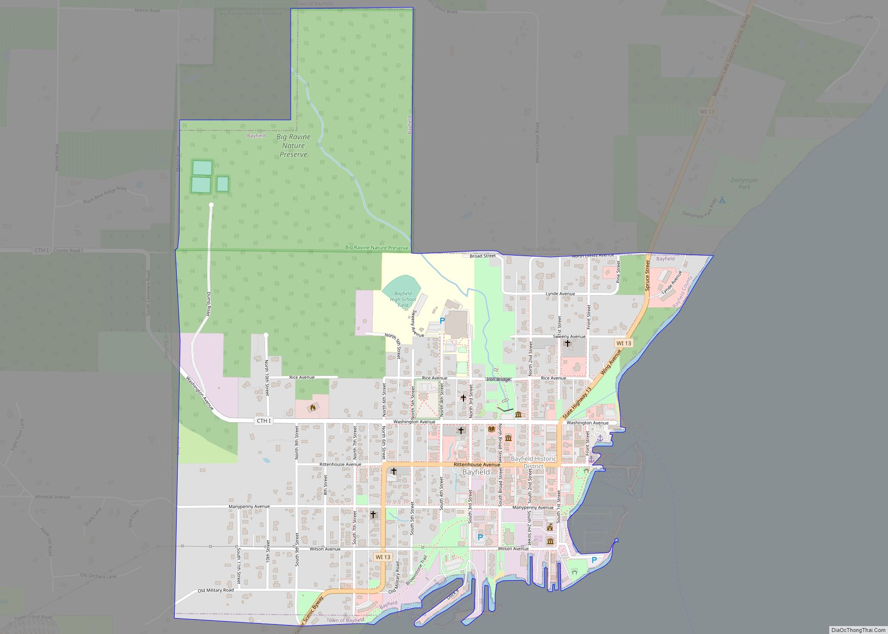
- Bayfield
- Brown
- Buffalo
- Burnett
- Calumet
- Chippewa
- Clark
- Columbia
- Crawford
- Dane
- Dodge
- Door
- Douglas
- Dunn
- Eau Claire
- Florence
- Fond du Lac
- Forest
- Grant
- Green
- Green Lake
- Iowa
- Iron
- Jackson
- Jefferson
- Juneau
- Kenosha
- Kewaunee
- La Crosse
- Lafayette
- Lake Michigan
- Lake Superior
- Langlade
- Lincoln
- Manitowoc
- Marathon
- Marinette
- Marquette
- Menominee
- Milwaukee
- Monroe
- Oconto
- Oneida
- Outagamie
- Ozaukee
- Pepin
- Pierce
- Polk
- Portage
- Price
- Racine
- Richland
- Rock
- Rusk
- Saint Croix
- Sauk
- Sawyer
- Shawano
- Sheboygan
- Taylor
- Trempealeau
- Vernon
- Vilas
- Walworth
- Washburn
- Washington
- Waukesha
- Waupaca
- Waushara
- Winnebago
- Wood
- Alabama
- Alaska
- Arizona
- Arkansas
- California
- Colorado
- Connecticut
- Delaware
- District of Columbia
- Florida
- Georgia
- Hawaii
- Idaho
- Illinois
- Indiana
- Iowa
- Kansas
- Kentucky
- Louisiana
- Maine
- Maryland
- Massachusetts
- Michigan
- Minnesota
- Mississippi
- Missouri
- Montana
- Nebraska
- Nevada
- New Hampshire
- New Jersey
- New Mexico
- New York
- North Carolina
- North Dakota
- Ohio
- Oklahoma
- Oregon
- Pennsylvania
- Rhode Island
- South Carolina
- South Dakota
- Tennessee
- Texas
- Utah
- Vermont
- Virginia
- Washington
- West Virginia
- Wisconsin
- Wyoming