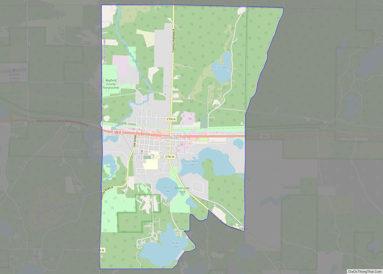
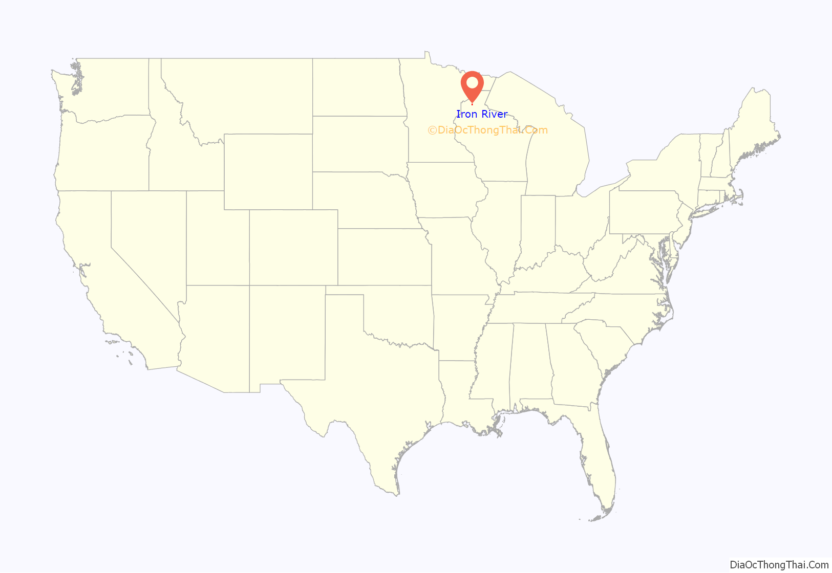
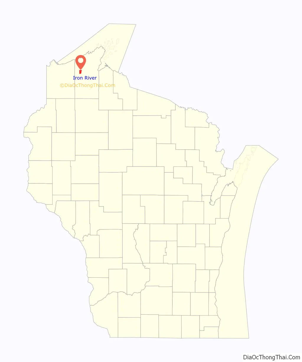
Iron River is an unincorporated, census-designated place located in the town of Iron River, Bayfield County, Wisconsin, United States.
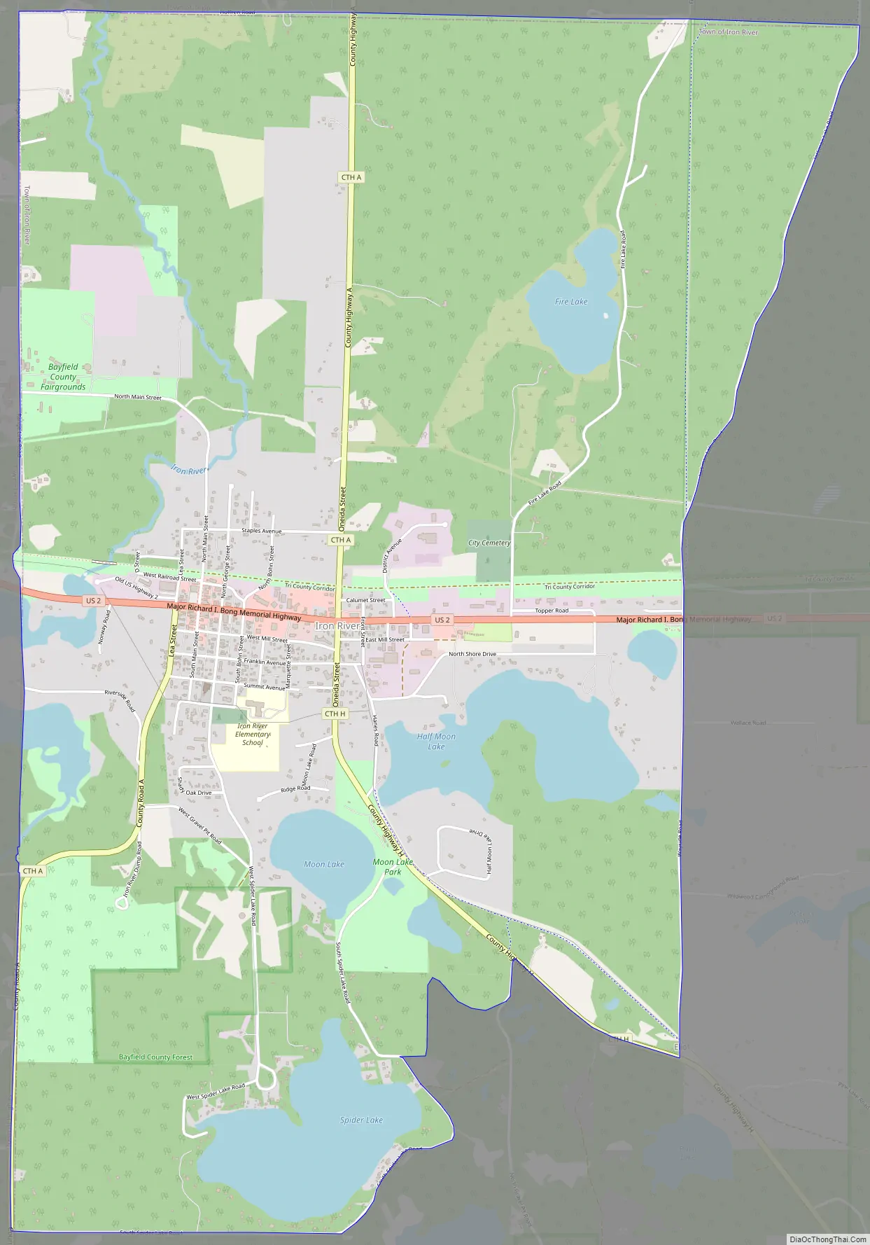
U.S. Highway 2 serves as a main route in the community. Other routes include County Highways A and H.
Iron River is 27 miles (43 km) west of the city of Ashland and 37 miles (60 km) east of the city of Superior.
Iron River has a post office with ZIP code 54847.
As of the 2010 census, its population was 761.
Iron River is the home of the Bayfield County Fair. The Fair takes place annually in August.
| Name: | Iron River CDP |
|---|---|
| LSAD Code: | 57 |
| LSAD Description: | CDP (suffix) |
| State: | Wisconsin |
| County: | Bayfield County |
| Elevation: | 1,106 ft (337 m) |
| Total Area: | 6.771 sq mi (17.54 km²) |
| Land Area: | 6.245 sq mi (16.17 km²) |
| Water Area: | 0.526 sq mi (1.36 km²) |
| Total Population: | 761 |
| Population Density: | 110/sq mi (43/km²) |
| ZIP code: | 54847 |
| Area code: | 715 and 534 |
| FIPS code: | 5537175 |
| GNISfeature ID: | 1566972 |
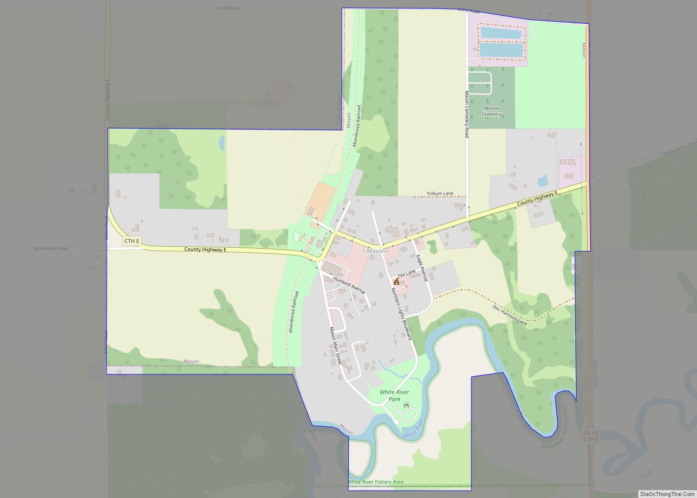
Online Interactive Map
Click on ![]() to view map in "full screen" mode.
to view map in "full screen" mode.
Iron River location map. Where is Iron River CDP?
Iron River Road Map
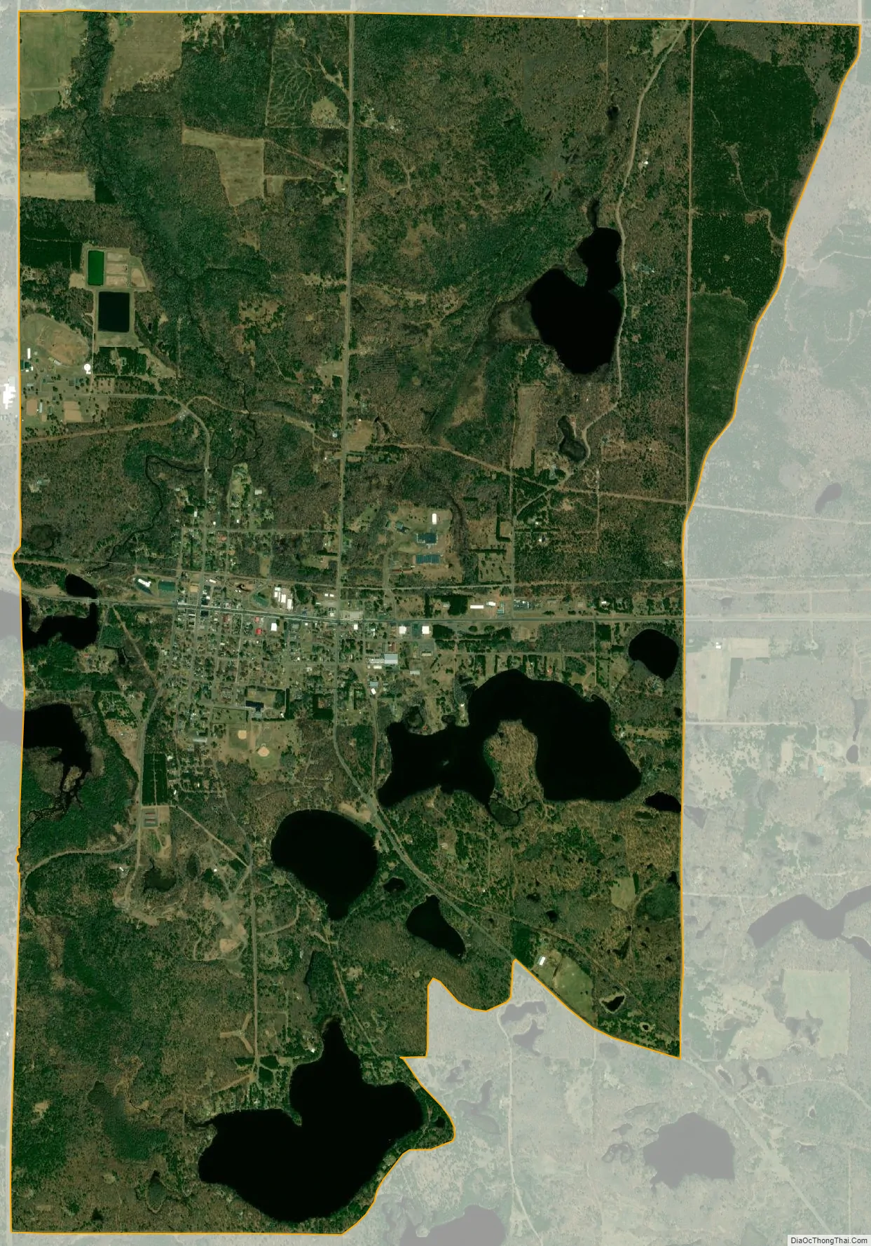
Iron River city Satellite Map
See also
Map of Wisconsin State and its subdivision:- Adams
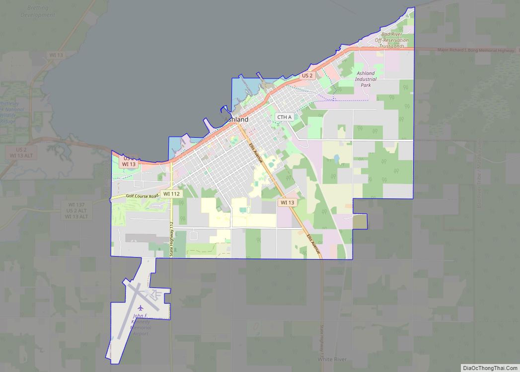
- Ashland
- Barron
- Bayfield
- Brown
- Buffalo
- Burnett
- Calumet
- Chippewa
- Clark
- Columbia
- Crawford
- Dane
- Dodge
- Door
- Douglas
- Dunn
- Eau Claire
- Florence
- Fond du Lac
- Forest
- Grant
- Green
- Green Lake
- Iowa
- Iron
- Jackson
- Jefferson
- Juneau
- Kenosha
- Kewaunee
- La Crosse
- Lafayette
- Lake Michigan
- Lake Superior
- Langlade
- Lincoln
- Manitowoc
- Marathon
- Marinette
- Marquette
- Menominee
- Milwaukee
- Monroe
- Oconto
- Oneida
- Outagamie
- Ozaukee
- Pepin
- Pierce
- Polk
- Portage
- Price
- Racine
- Richland
- Rock
- Rusk
- Saint Croix
- Sauk
- Sawyer
- Shawano
- Sheboygan
- Taylor
- Trempealeau
- Vernon
- Vilas
- Walworth
- Washburn
- Washington
- Waukesha
- Waupaca
- Waushara
- Winnebago
- Wood
- Alabama
- Alaska
- Arizona
- Arkansas
- California
- Colorado
- Connecticut
- Delaware
- District of Columbia
- Florida
- Georgia
- Hawaii
- Idaho
- Illinois
- Indiana
- Iowa
- Kansas
- Kentucky
- Louisiana
- Maine
- Maryland
- Massachusetts
- Michigan
- Minnesota
- Mississippi
- Missouri
- Montana
- Nebraska
- Nevada
- New Hampshire
- New Jersey
- New Mexico
- New York
- North Carolina
- North Dakota
- Ohio
- Oklahoma
- Oregon
- Pennsylvania
- Rhode Island
- South Carolina
- South Dakota
- Tennessee
- Texas
- Utah
- Vermont
- Virginia
- Washington
- West Virginia
- Wisconsin
- Wyoming