Kimberly is a village in Outagamie County, Wisconsin, United States. The population was 7,320 at the 2020 census. The village is east of Appleton.
| Name: | Kimberly village |
|---|---|
| LSAD Code: | 47 |
| LSAD Description: | village (suffix) |
| State: | Wisconsin |
| County: | Outagamie County |
| Elevation: | 732 ft (223 m) |
| Total Area: | 2.41 sq mi (6.25 km²) |
| Land Area: | 2.30 sq mi (5.95 km²) |
| Water Area: | 0.12 sq mi (0.30 km²) |
| Total Population: | 7,320 |
| Population Density: | 3,186/sq mi (1,230.3/km²) |
| Area code: | 920 |
| FIPS code: | 5539650 |
| GNISfeature ID: | 1567486 |
| Website: | http://www.vokimberly.org/ |
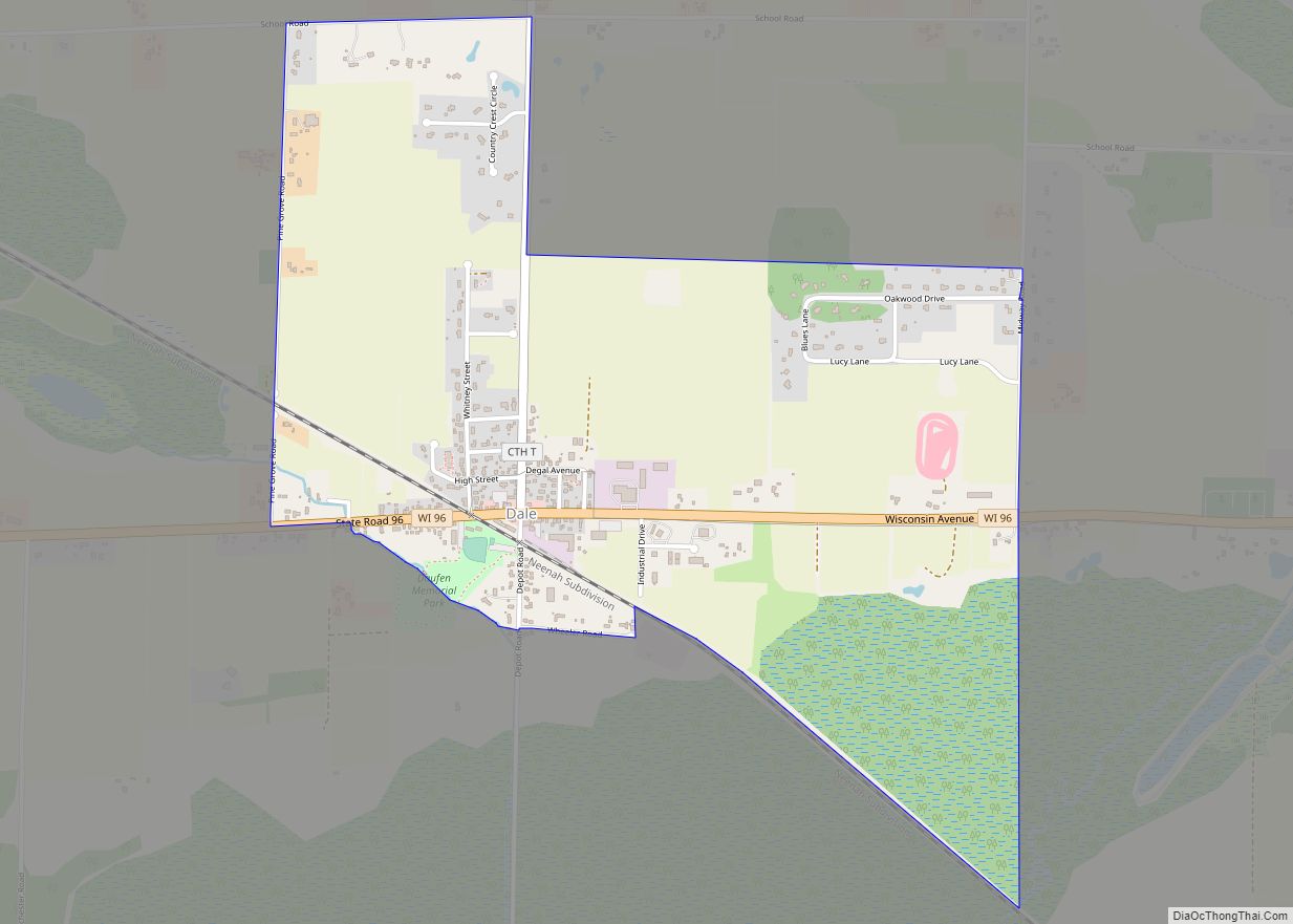
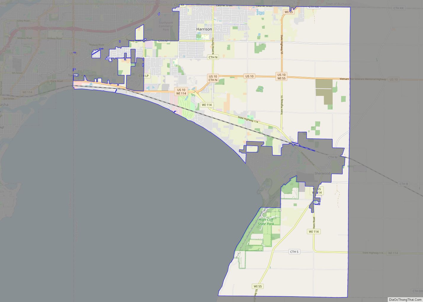
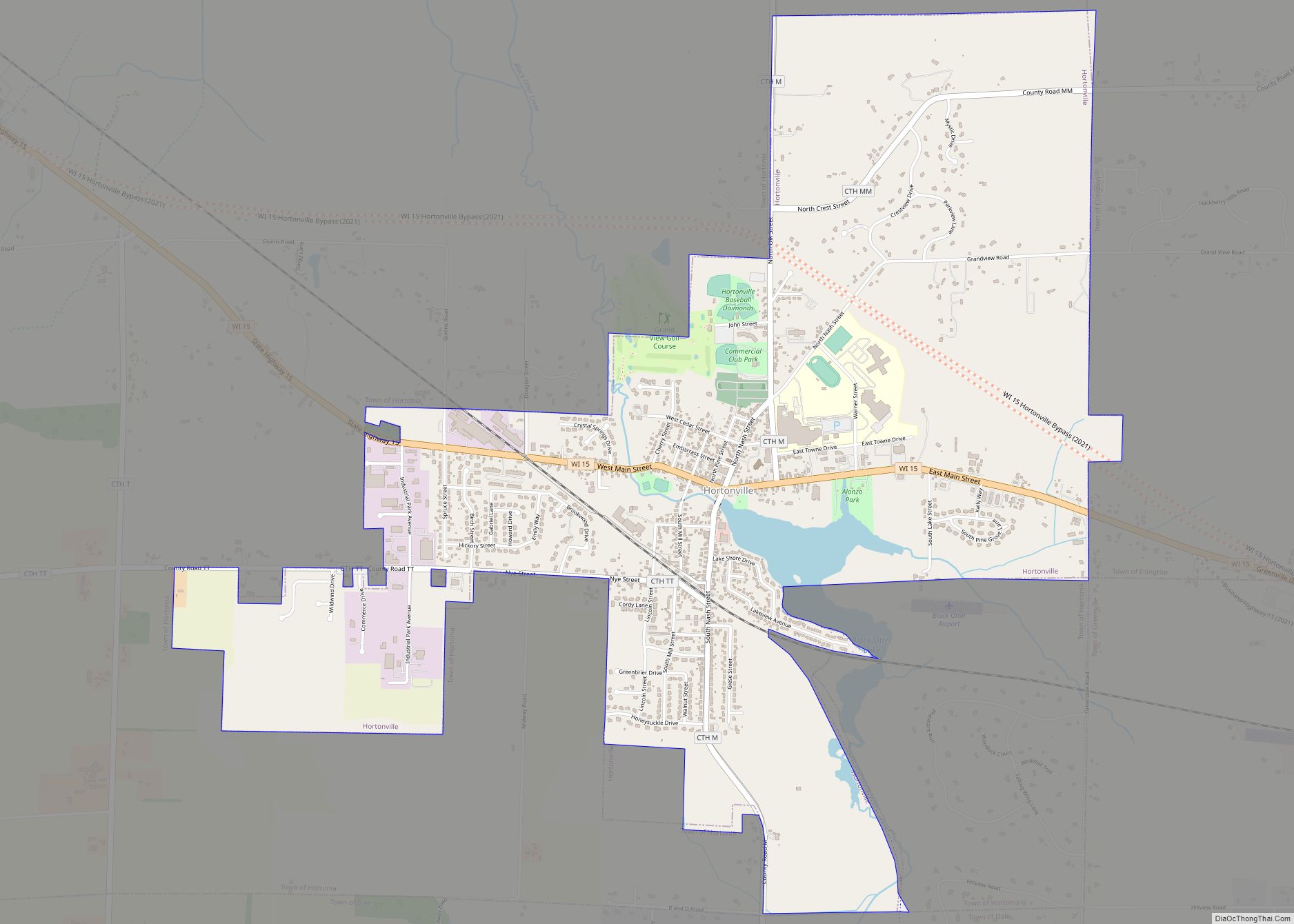
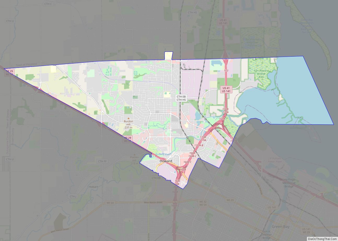
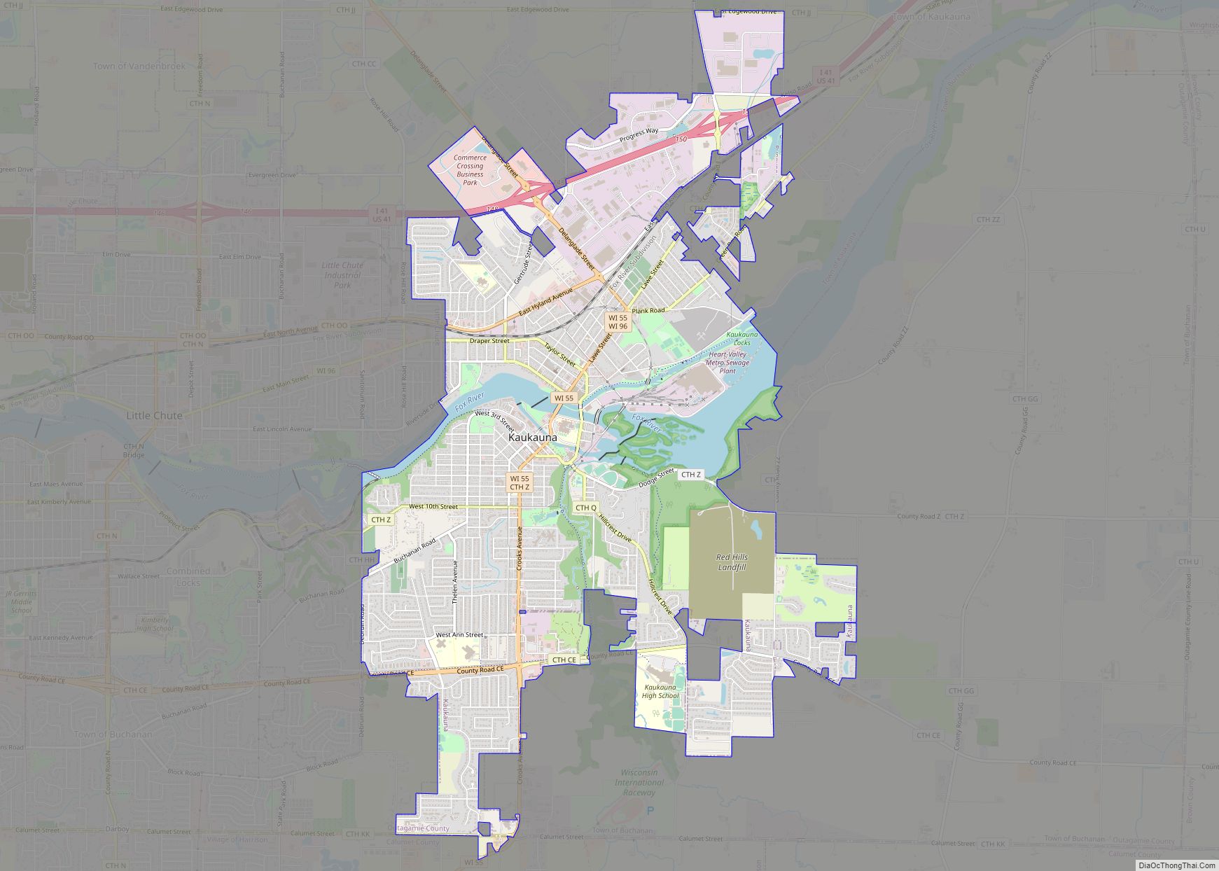
Online Interactive Map
Click on ![]() to view map in "full screen" mode.
to view map in "full screen" mode.
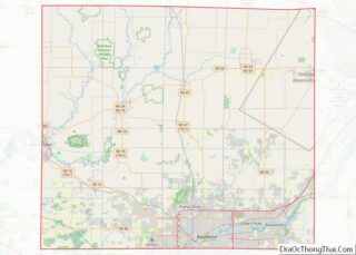
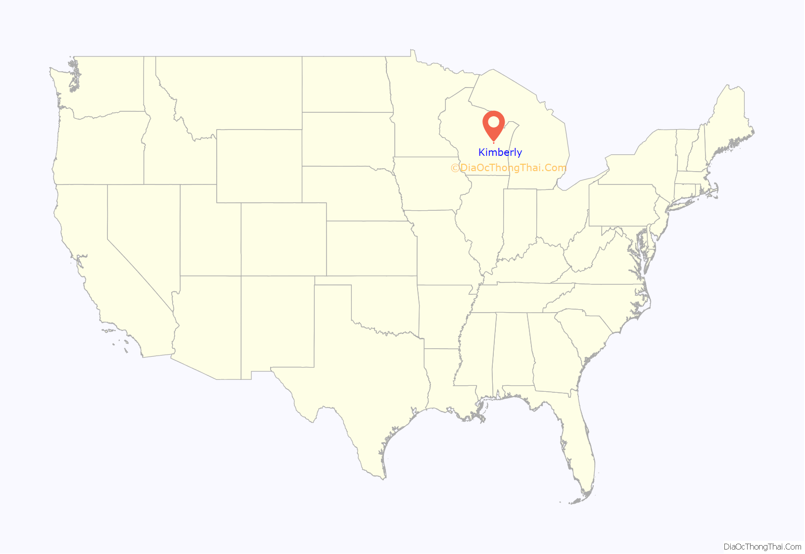
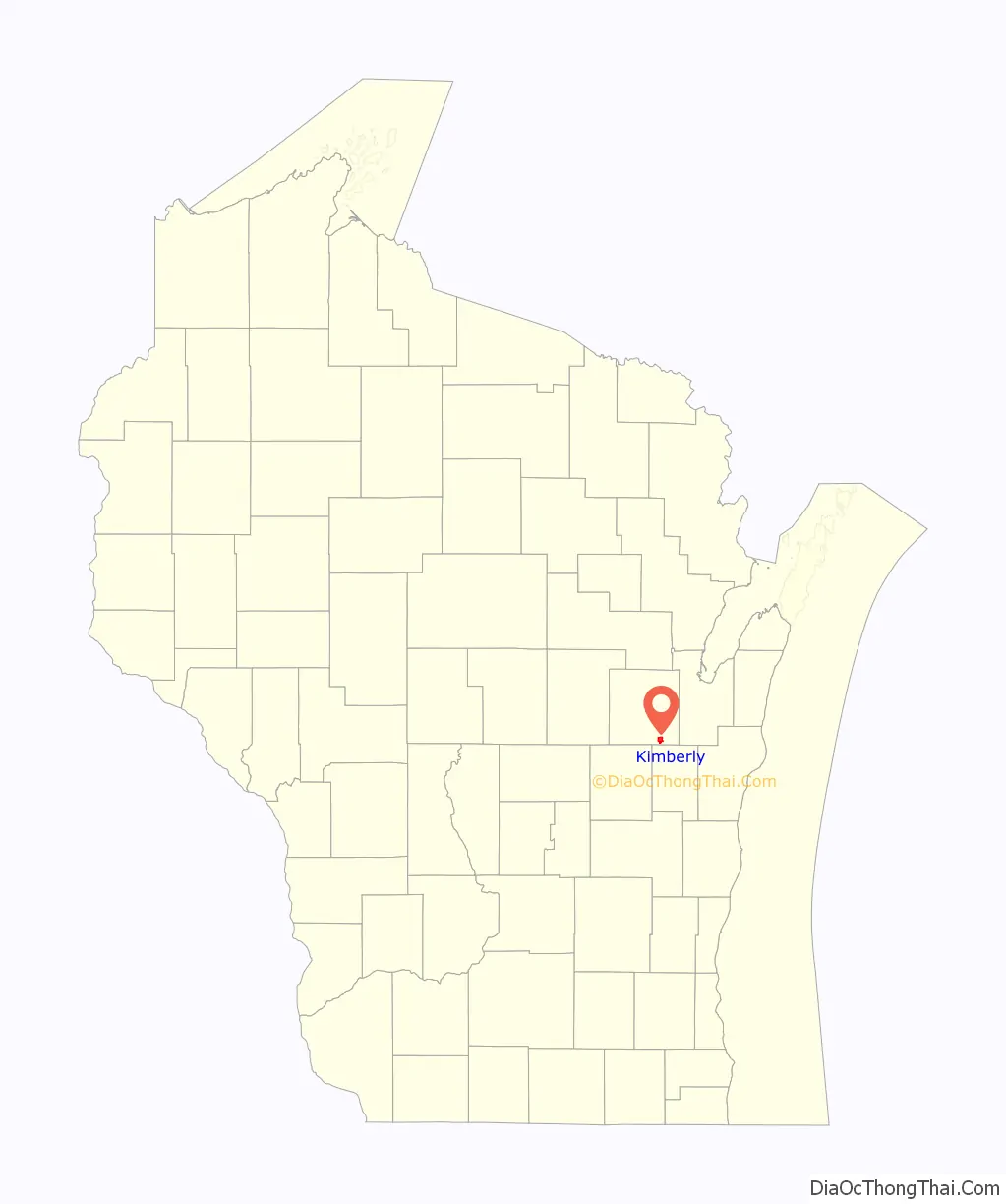
Kimberly location map. Where is Kimberly village?
History
Kimberly was originally known as The Cedars (after the Treaty of the Cedars) and later as Smithfield. In 1889 it was renamed after John A. Kimberly (1838–1928), one of the co-founders of what is now the Kimberly-Clark Corporation, when the company opened a paper mill in the community.
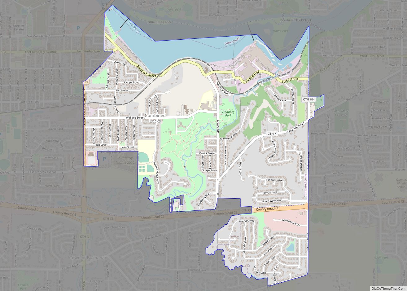
Kimberly Road Map
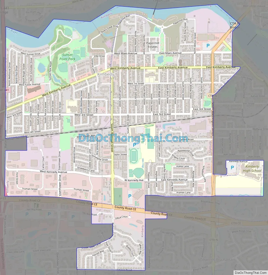
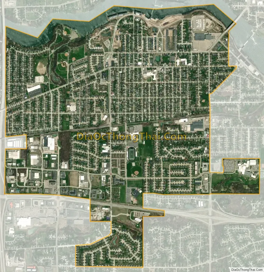
Kimberly city Satellite Map
Geography
Kimberly is located at 44°16′N 88°20′W / 44.267°N 88.333°W / 44.267; -88.333 (44.2684, -88.3375).
According to the United States Census Bureau, the village has a total area of 2.42 square miles (6.27 km), of which, 2.26 square miles (5.85 km) of it is land and 0.16 square miles (0.41 km) is water.
See also
Map of Wisconsin State and its subdivision:- Adams
- Ashland
- Barron
- Bayfield
- Brown
- Buffalo
- Burnett
- Calumet
- Chippewa
- Clark
- Columbia
- Crawford
- Dane
- Dodge
- Door
- Douglas
- Dunn
- Eau Claire
- Florence
- Fond du Lac
- Forest
- Grant
- Green
- Green Lake
- Iowa
- Iron
- Jackson
- Jefferson
- Juneau
- Kenosha
- Kewaunee
- La Crosse
- Lafayette
- Lake Michigan
- Lake Superior
- Langlade
- Lincoln
- Manitowoc
- Marathon
- Marinette
- Marquette
- Menominee
- Milwaukee
- Monroe
- Oconto
- Oneida
- Outagamie
- Ozaukee
- Pepin
- Pierce
- Polk
- Portage
- Price
- Racine
- Richland
- Rock
- Rusk
- Saint Croix
- Sauk
- Sawyer
- Shawano
- Sheboygan
- Taylor
- Trempealeau
- Vernon
- Vilas
- Walworth
- Washburn
- Washington
- Waukesha
- Waupaca
- Waushara
- Winnebago
- Wood
- Alabama
- Alaska
- Arizona
- Arkansas
- California
- Colorado
- Connecticut
- Delaware
- District of Columbia
- Florida
- Georgia
- Hawaii
- Idaho
- Illinois
- Indiana
- Iowa
- Kansas
- Kentucky
- Louisiana
- Maine
- Maryland
- Massachusetts
- Michigan
- Minnesota
- Mississippi
- Missouri
- Montana
- Nebraska
- Nevada
- New Hampshire
- New Jersey
- New Mexico
- New York
- North Carolina
- North Dakota
- Ohio
- Oklahoma
- Oregon
- Pennsylvania
- Rhode Island
- South Carolina
- South Dakota
- Tennessee
- Texas
- Utah
- Vermont
- Virginia
- Washington
- West Virginia
- Wisconsin
- Wyoming