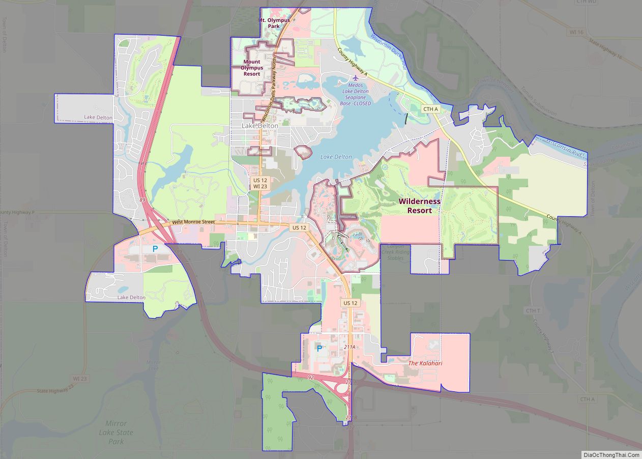
Lake Delton is a village located on the Wisconsin River in Sauk County, Wisconsin, United States. The population was 3,501 at the 2020 census. Lake Delton, along with the nearby Wisconsin Dells, is a resort area and a center for tourism in the upper Midwest. Lake Delton is included in the Baraboo Micropolitan Area which comprises part of the larger Madison Combined Statistical Area.
| Name: | Lake Delton village |
|---|---|
| LSAD Code: | 47 |
| LSAD Description: | village (suffix) |
| State: | Wisconsin |
| County: | Sauk County |
| Elevation: | 915 ft (279 m) |
| Total Area: | 8.12 sq mi (21.04 km²) |
| Land Area: | 7.49 sq mi (19.39 km²) |
| Water Area: | 0.64 sq mi (1.65 km²) |
| Total Population: | 3,501 |
| Population Density: | 467.5/sq mi (180.5/km²) |
| ZIP code: | 53940 |
| Area code: | 608 |
| FIPS code: | 5541300 |
| GNISfeature ID: | 1567728 |
| Website: | www.lakedelton.org |
Online Interactive Map
Click on ![]() to view map in "full screen" mode.
to view map in "full screen" mode.
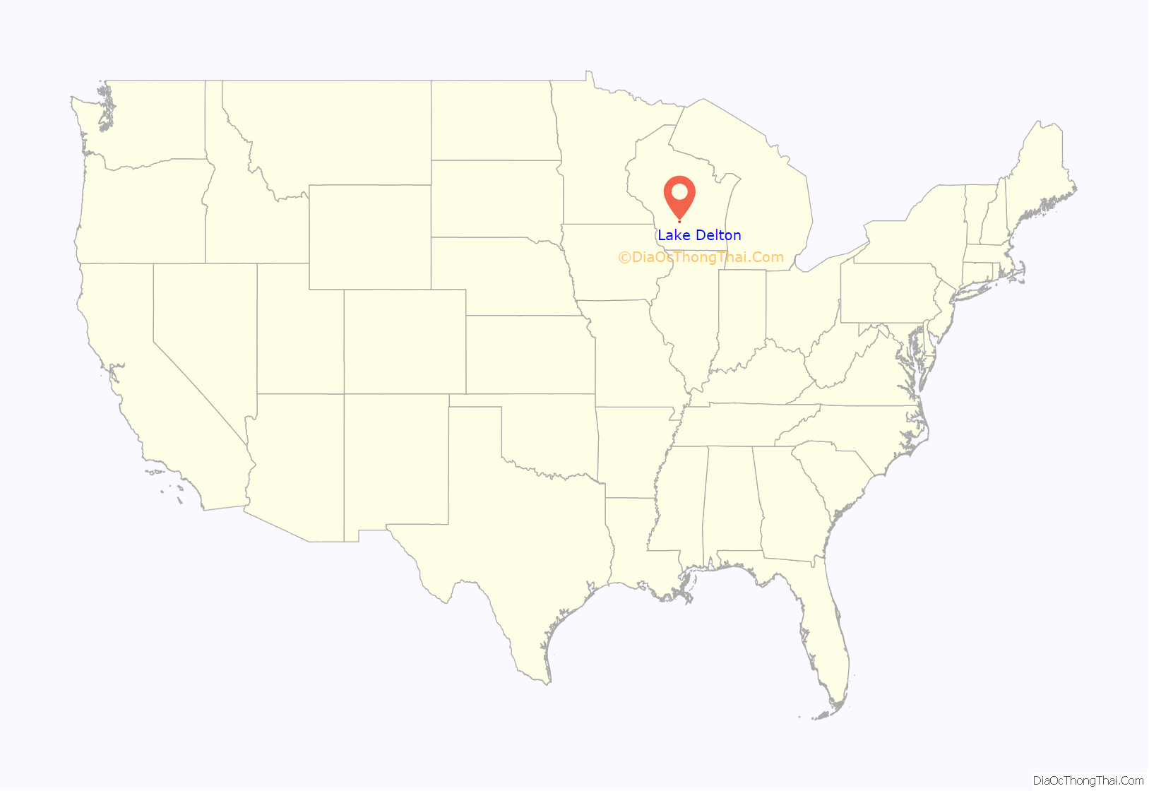
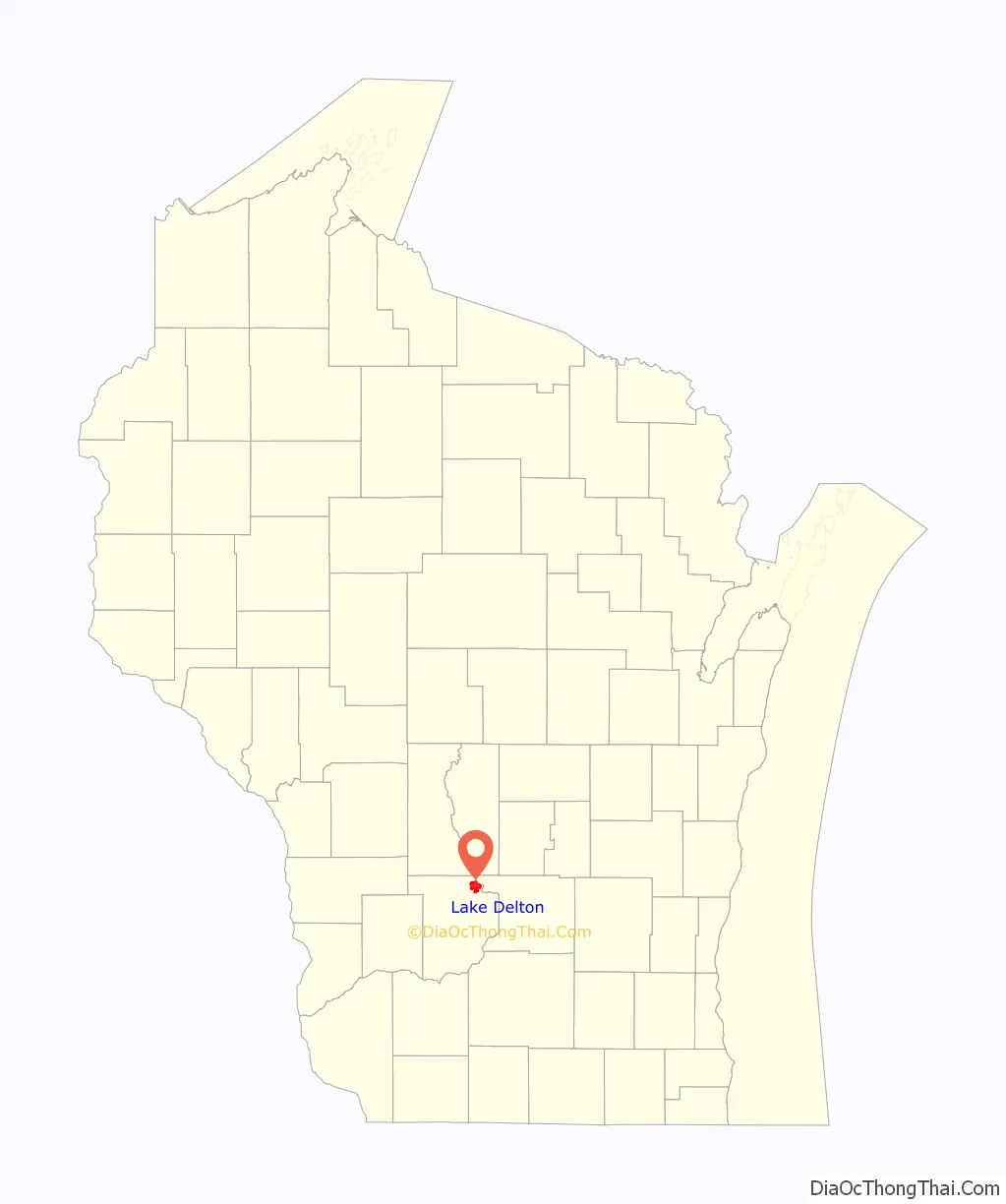
Lake Delton location map. Where is Lake Delton village?
History
The village of Lake Delton was originally named Norris for Edward Norris the surveyor of the village in 1850. The Village changed its name to Delton, but changed again in 1926 to Mirror Lake to avoid a conflict with the Town of Delton in that area. The name Lake Delton was taken after the construction of the Dell Creek dam creating a reservoir also known as Lake Delton. The village was incorporated in 1954.
On June 9, 2008, Lake Delton, the approximately 267-acre (1.08 km) dammed artificial lake adjacent to the village, overflowed its banks, washing away four homes and a portion of Old Newport Road (County Highway “A”) while nearly emptying the lake basin into the Wisconsin River following several days of torrential rains.
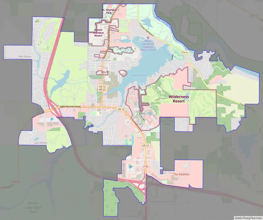
Lake Delton Road Map
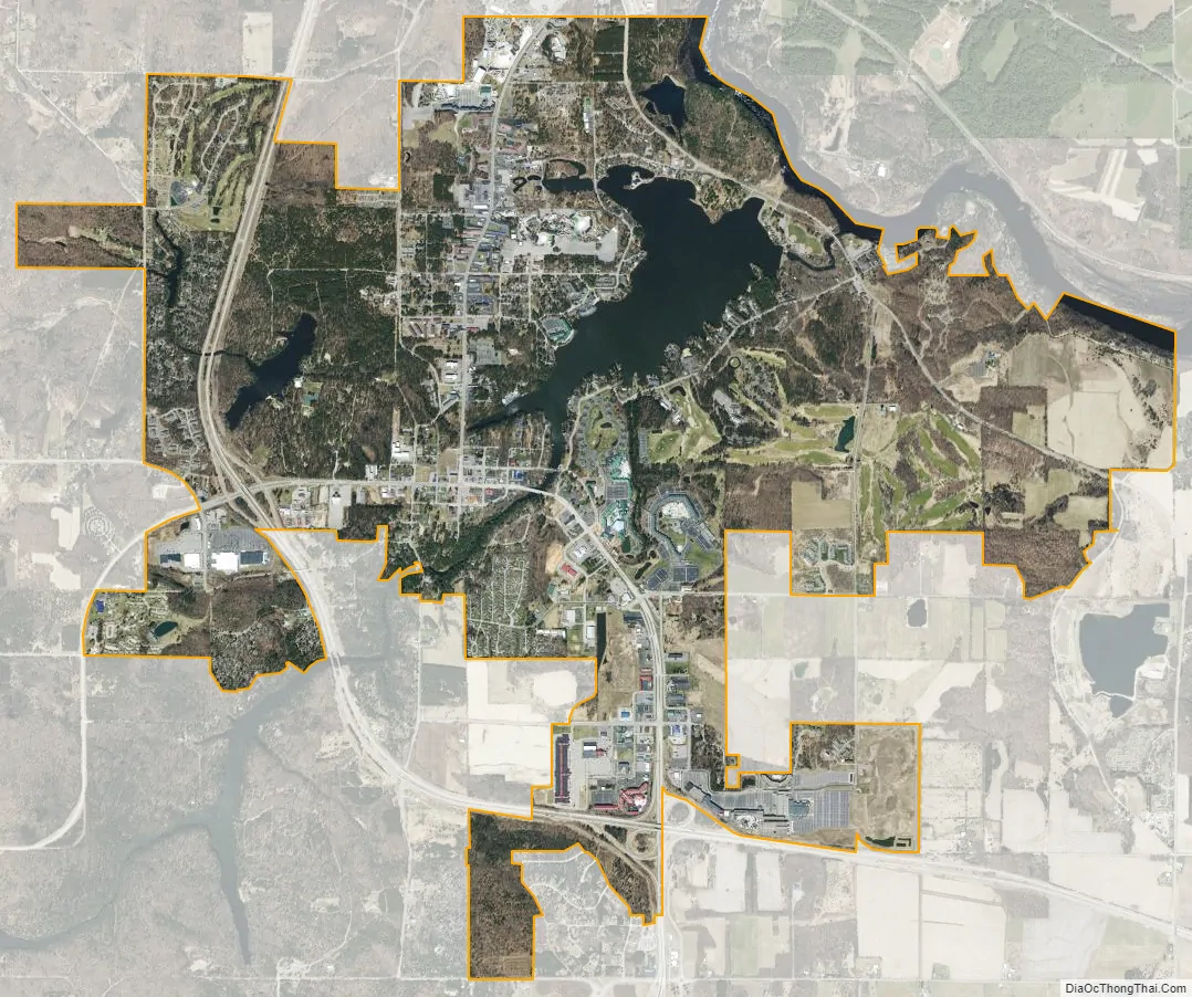
Lake Delton city Satellite Map
Geography
Lake Delton is located at 43°35′48″N 89°47′16″W / 43.59667°N 89.78778°W / 43.59667; -89.78778 (43.596757, -89.787646).
According to the United States Census Bureau, the village has a total area of 8.12 square miles (21.03 km), of which 7.49 square miles (19.40 km) is land and 0.64 square miles (1.66 km) is water.
See also
Map of Wisconsin State and its subdivision:- Adams
- Ashland
- Barron
- Bayfield
- Brown
- Buffalo
- Burnett
- Calumet
- Chippewa
- Clark
- Columbia
- Crawford
- Dane
- Dodge
- Door
- Douglas
- Dunn
- Eau Claire
- Florence
- Fond du Lac
- Forest
- Grant
- Green
- Green Lake
- Iowa
- Iron
- Jackson
- Jefferson
- Juneau
- Kenosha
- Kewaunee
- La Crosse
- Lafayette
- Lake Michigan
- Lake Superior
- Langlade
- Lincoln
- Manitowoc
- Marathon
- Marinette
- Marquette
- Menominee
- Milwaukee
- Monroe
- Oconto
- Oneida
- Outagamie
- Ozaukee
- Pepin
- Pierce
- Polk
- Portage
- Price
- Racine
- Richland
- Rock
- Rusk
- Saint Croix
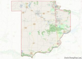
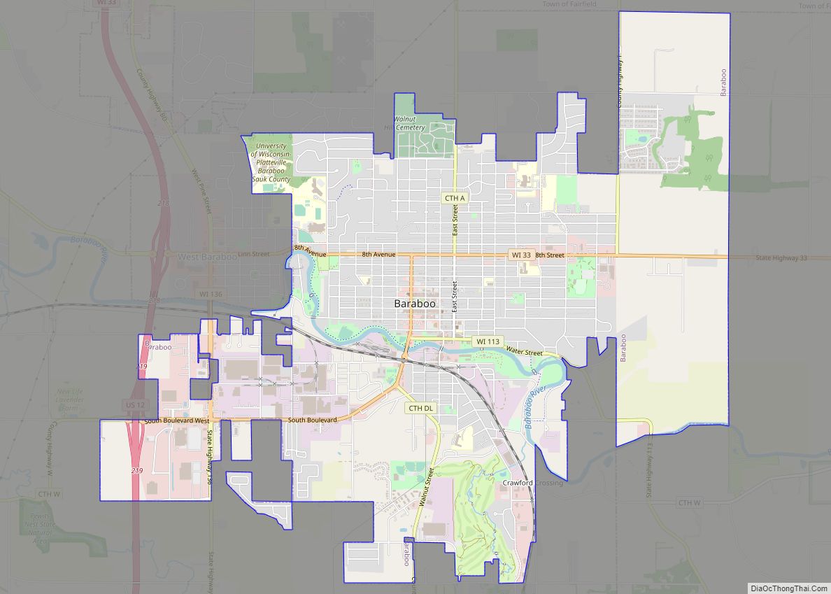
- Sauk
- Sawyer
- Shawano
- Sheboygan
- Taylor
- Trempealeau
- Vernon
- Vilas
- Walworth
- Washburn
- Washington
- Waukesha
- Waupaca
- Waushara
- Winnebago
- Wood
- Alabama
- Alaska
- Arizona
- Arkansas
- California
- Colorado
- Connecticut
- Delaware
- District of Columbia
- Florida
- Georgia
- Hawaii
- Idaho
- Illinois
- Indiana
- Iowa
- Kansas
- Kentucky
- Louisiana
- Maine
- Maryland
- Massachusetts
- Michigan
- Minnesota
- Mississippi
- Missouri
- Montana
- Nebraska
- Nevada
- New Hampshire
- New Jersey
- New Mexico
- New York
- North Carolina
- North Dakota
- Ohio
- Oklahoma
- Oregon
- Pennsylvania
- Rhode Island
- South Carolina
- South Dakota
- Tennessee
- Texas
- Utah
- Vermont
- Virginia
- Washington
- West Virginia
- Wisconsin
- Wyoming