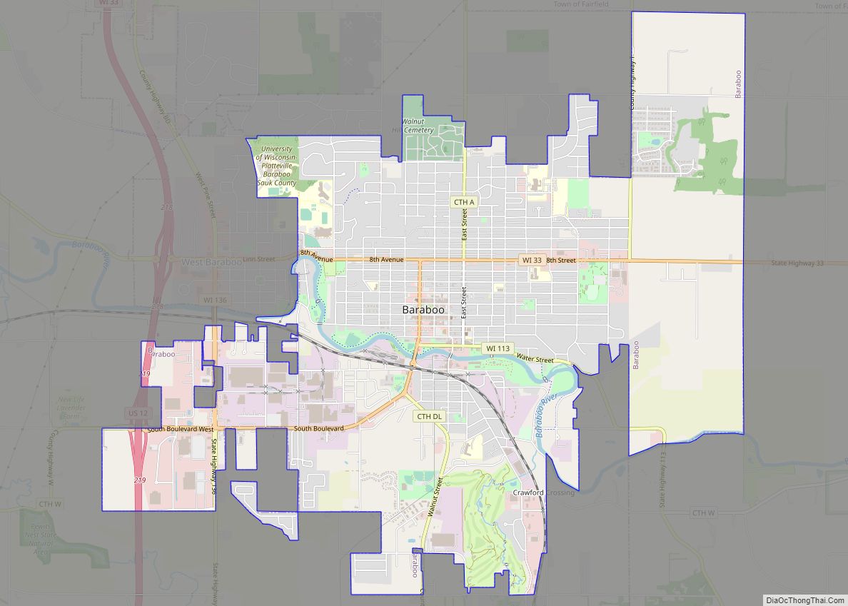
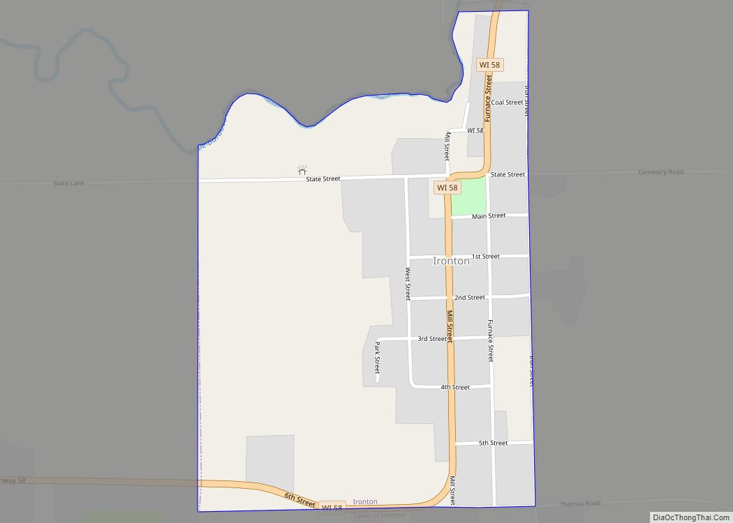
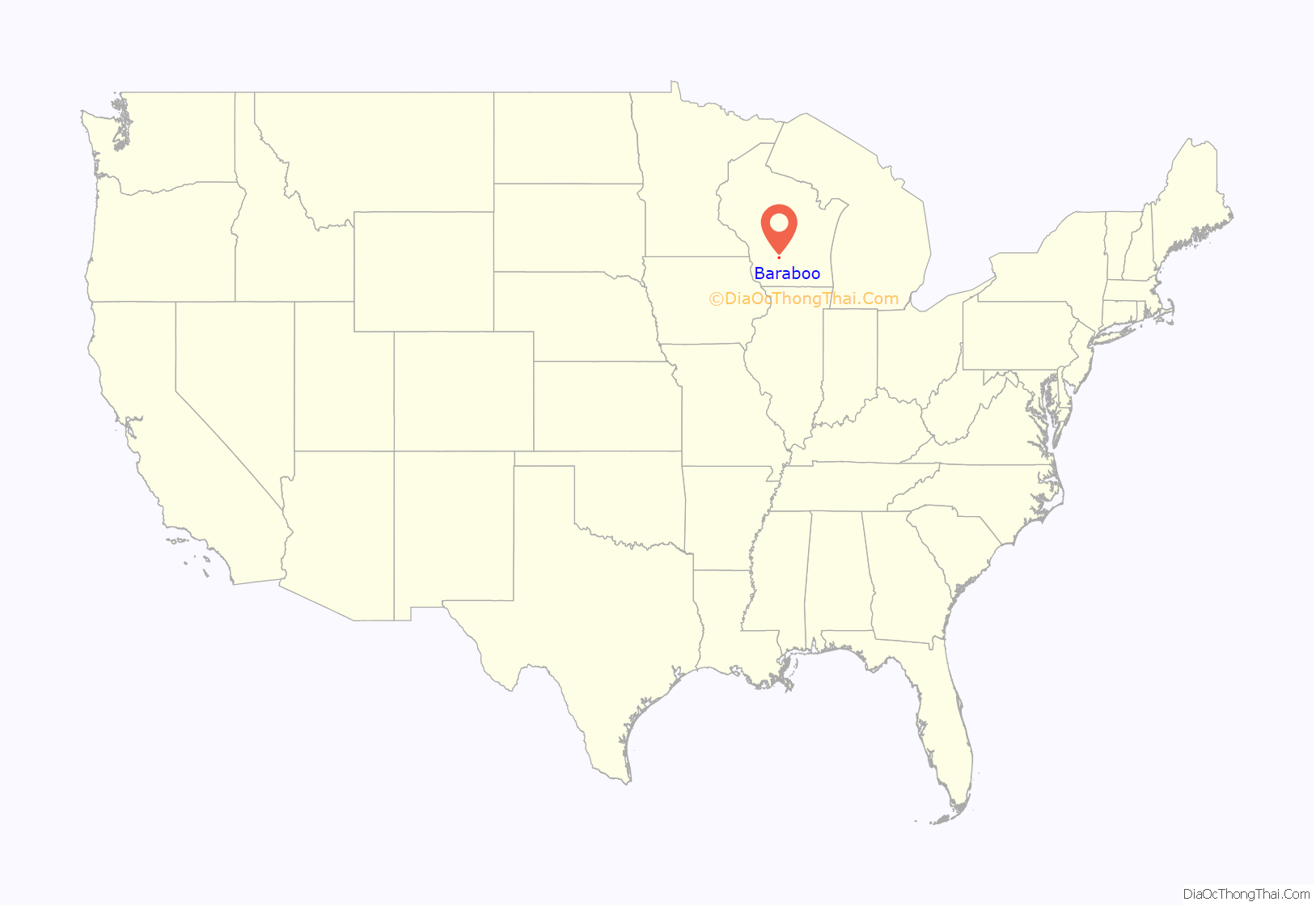
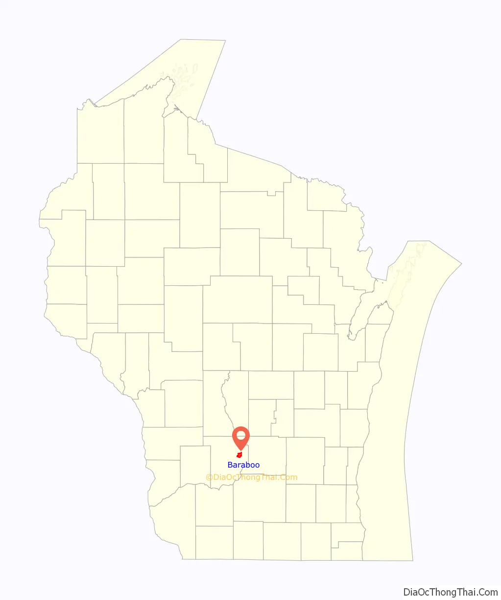
Baraboo is a city in the Midwest and the county seat of Sauk County, Wisconsin, United States. The largest city in the county, Baraboo is the principal city of the Baraboo Micropolitan Statistical Area which comprises a portion of the Madison Combined Statistical area. Its 2020 population was 12,556. It is situated on the Baraboo River.
Baraboo is home to the Circus World Museum, the former headquarters and winter home of the Ringling brothers circus. The Al. Ringling Theatre is an active landmark in the city. Baraboo is also near Devil’s Lake State Park, and Aldo Leopold’s Shack and Farm.
| Name: | Baraboo city |
|---|---|
| LSAD Code: | 25 |
| LSAD Description: | city (suffix) |
| State: | Wisconsin |
| County: | Sauk County |
| Incorporated: | 1882 |
| Elevation: | 879 ft (268 m) |
| Land Area: | 7.35 sq mi (19.03 km²) |
| Water Area: | 0.09 sq mi (0.22 km²) |
| Population Density: | 1,709.2/sq mi (659.9/km²) |
| ZIP code: | 53913 |
| Area code: | 608 |
| FIPS code: | 5504625 |
| GNISfeature ID: | 1582749 |
| Website: | www.cityofbaraboo.com |
Online Interactive Map
Click on ![]() to view map in "full screen" mode.
to view map in "full screen" mode.
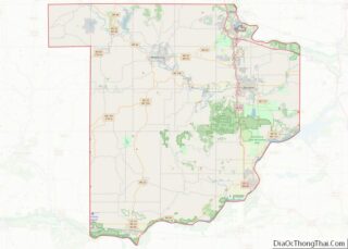
Baraboo location map. Where is Baraboo city?
History
Early settlement
The area around Baraboo was the site of a Kickapoo village as early as 1665. The current community was established by Abe Wood in 1838, and was originally known as the village of Adams. In 1839 several settlers arrived and started building cabins, and a saw mill. In 1846 it became the county seat of Sauk County after a fierce fight with the nearby village of Reedsburg. In 1852, the village was renamed “Baraboo”, after the nearby river. It was incorporated as a village in 1866 and as a city in 1882. In the 1860s, the city had surpassed a population of 2,000, and many businesses started to form, including grocery stores, banks, and hotels. In 1872, the Chicago and North Western Railway (C&NW) was built. Baraboo became home to several saw mills during this time, because of its location near the Baraboo and Wisconsin Rivers.
Late 1800s to the present
In 1884, the Ringling Brothers Circus was established in Baraboo. Several other circuses came to the city, which gave Baraboo the nickname “Circus City”.
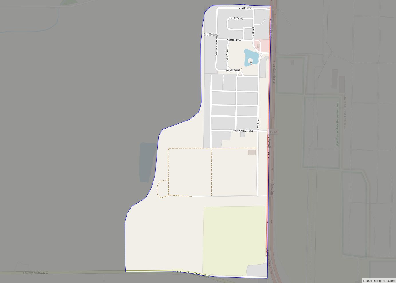
Located south of Baraboo, in the Census-designated place of Bluffview, was the Badger Army Ammunition Plant, which was the largest munitions factory in the world during WWII, when it was known as “Badger Ordnance Works”. It was later demolished and now the land is a part of the Sauk Prairie Recreation Area.
Hank Snow’s 1959 song “I’ve Been Everywhere”, famously covered by Johnny Cash, mentions visiting Baraboo.
Cirrus Aircraft, a manufacturer of single-engine aircraft, was founded in a rural Baraboo barn in 1984 by brothers Alan and Dale Klapmeier. After a few years of designing the VK-30, the company relocated to the Baraboo–Wisconsin Dells Airport, and in 1994 moved to its present-day home in Duluth, Minnesota.
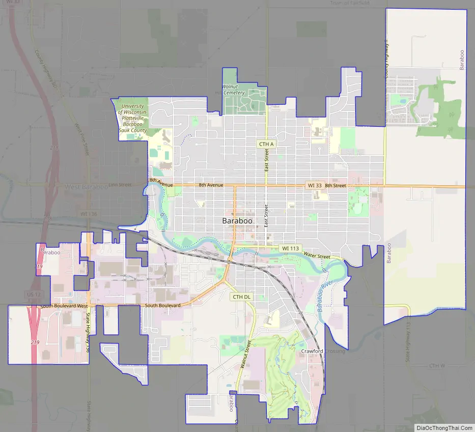
Baraboo Road Map
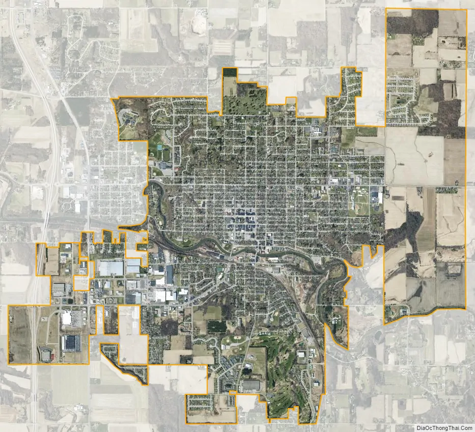
Baraboo city Satellite Map
Geography
According to the United States Census Bureau, the city has a total area of 7.47 square miles (19.35 km), of which, 7.39 square miles (19.14 km) is land and 0.08 square miles (0.21 km) is water.
West Baraboo, a suburb of Baraboo, borders the city on its west side.
Baraboo gives its name to the Baraboo Syncline, a doubly plunging, asymmetric syncline in Proterozoic-aged Baraboo quartzite. Researchers at the University of Wisconsin, particularly Charles R. Van Hise, used the syncline to demonstrate that small-scale deformational structures in isolated outcrops reflect larger regional structures and that sedimentary structures could indicate the original top-facing direction within elaborately deformed strata. These two principles sparked a global revolution in structural geology during the 1920s.
The nearby Baraboo Hills are designated one of the “Last Great Places” by the Nature Conservancy because of its rare rocks, plants and animals. The hills were created by glacial action, and in some points poke up from the flat terrain to form a stark contrast. Some of these features were created when a glacial pocket was formed during the Wisconsin glaciation where the advance of the glacier halted, along the edge of what is known as the Driftless Area. Devil’s Lake State Park, Wisconsin’s largest state park, contains large areas of the Baraboo Hills. Pewits Nest is located outside Baraboo.
See also
Map of Wisconsin State and its subdivision:- Adams
- Ashland
- Barron
- Bayfield
- Brown
- Buffalo
- Burnett
- Calumet
- Chippewa
- Clark
- Columbia
- Crawford
- Dane
- Dodge
- Door
- Douglas
- Dunn
- Eau Claire
- Florence
- Fond du Lac
- Forest
- Grant
- Green
- Green Lake
- Iowa
- Iron
- Jackson
- Jefferson
- Juneau
- Kenosha
- Kewaunee
- La Crosse
- Lafayette
- Lake Michigan
- Lake Superior
- Langlade
- Lincoln
- Manitowoc
- Marathon
- Marinette
- Marquette
- Menominee
- Milwaukee
- Monroe
- Oconto
- Oneida
- Outagamie
- Ozaukee
- Pepin
- Pierce
- Polk
- Portage
- Price
- Racine
- Richland
- Rock
- Rusk
- Saint Croix
- Sauk
- Sawyer
- Shawano
- Sheboygan
- Taylor
- Trempealeau
- Vernon
- Vilas
- Walworth
- Washburn
- Washington
- Waukesha
- Waupaca
- Waushara
- Winnebago
- Wood
- Alabama
- Alaska
- Arizona
- Arkansas
- California
- Colorado
- Connecticut
- Delaware
- District of Columbia
- Florida
- Georgia
- Hawaii
- Idaho
- Illinois
- Indiana
- Iowa
- Kansas
- Kentucky
- Louisiana
- Maine
- Maryland
- Massachusetts
- Michigan
- Minnesota
- Mississippi
- Missouri
- Montana
- Nebraska
- Nevada
- New Hampshire
- New Jersey
- New Mexico
- New York
- North Carolina
- North Dakota
- Ohio
- Oklahoma
- Oregon
- Pennsylvania
- Rhode Island
- South Carolina
- South Dakota
- Tennessee
- Texas
- Utah
- Vermont
- Virginia
- Washington
- West Virginia
- Wisconsin
- Wyoming