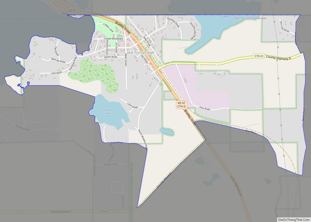
Lake Tomahawk is an unincorporated census-designated place located in the town of Lake Tomahawk, Oneida County, Wisconsin, United States. Lake Tomahawk is located on Wisconsin Highway 47 15 miles (24 km) northwest of Rhinelander. Lake Tomahawk has a post office with ZIP code 54539. As of the 2010 census, its population was 228.
| Name: | Lake Tomahawk CDP |
|---|---|
| LSAD Code: | 57 |
| LSAD Description: | CDP (suffix) |
| State: | Wisconsin |
| County: | Oneida County |
| Elevation: | 1,640 ft (500 m) |
| Total Area: | 1.649 sq mi (4.27 km²) |
| Land Area: | 1.537 sq mi (3.98 km²) |
| Water Area: | 0.112 sq mi (0.29 km²) |
| Total Population: | 228 |
| Population Density: | 140/sq mi (53/km²) |
| ZIP code: | 54539 |
| Area code: | 715 & 534 |
| FIPS code: | 5541875 |
| GNISfeature ID: | 1567755 |
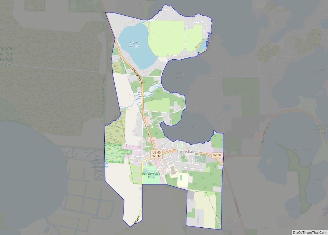
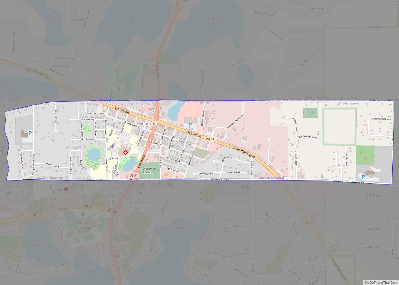
Online Interactive Map
Click on ![]() to view map in "full screen" mode.
to view map in "full screen" mode.
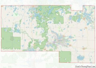
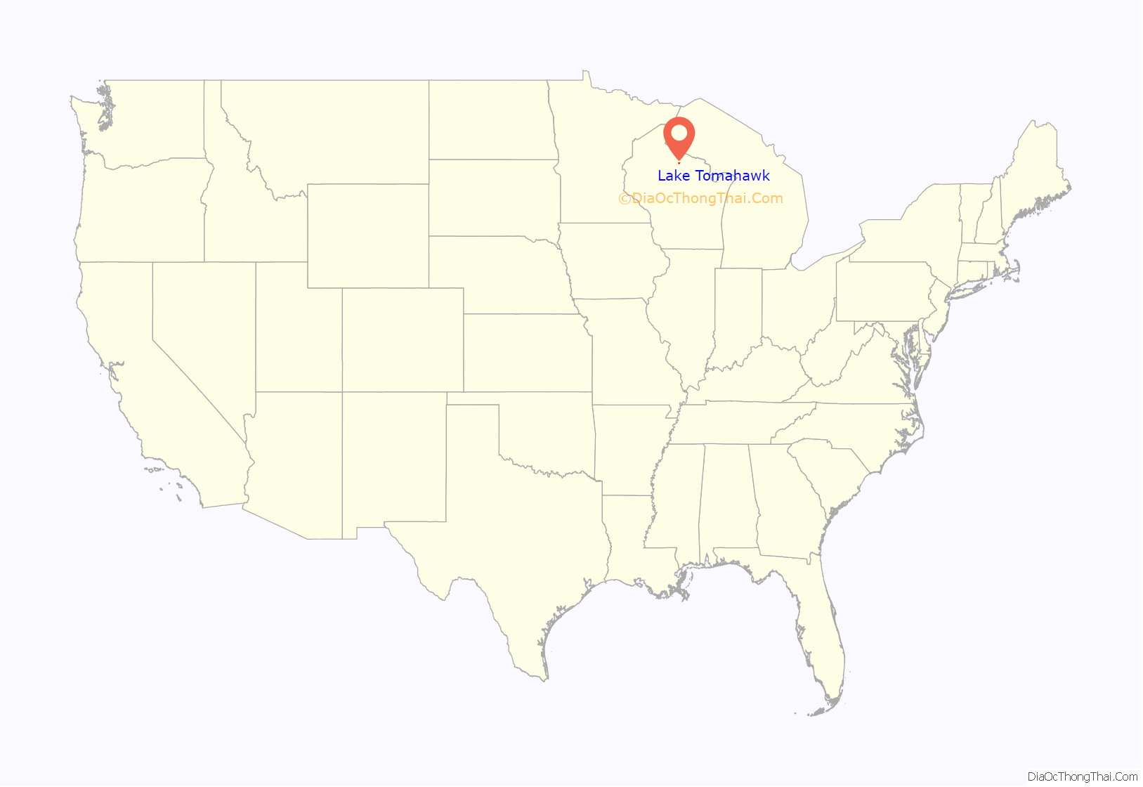
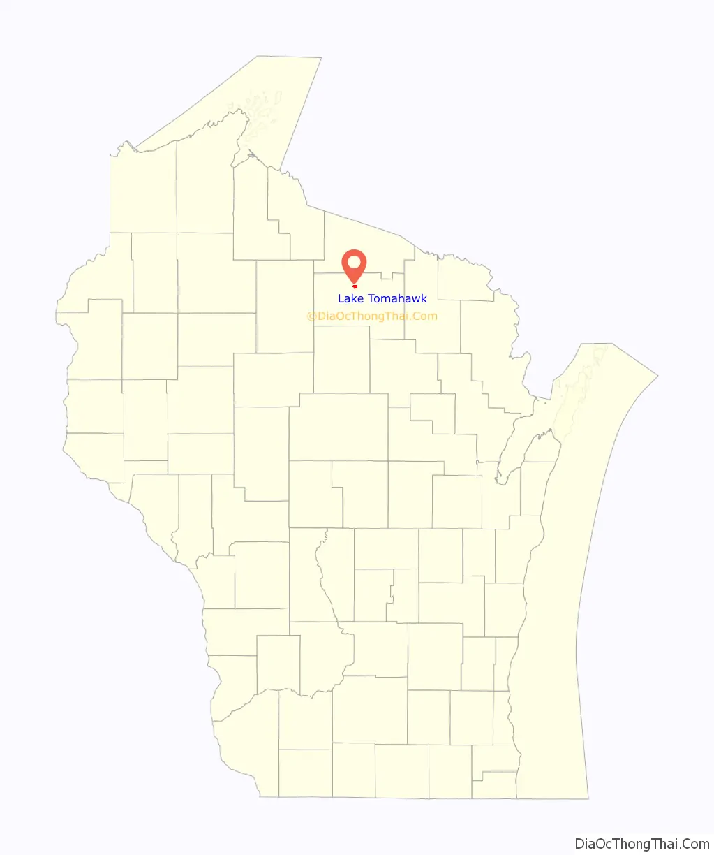
Lake Tomahawk location map. Where is Lake Tomahawk CDP?
History
Lake Tomahawk was originally called Tomahawk Lake, and under the latter name was platted in 1892. The community took its name from nearby Tomahawk Lake. The name of the post office was changed from Tomahawk Lake to Lake Tomahawk in 1928.
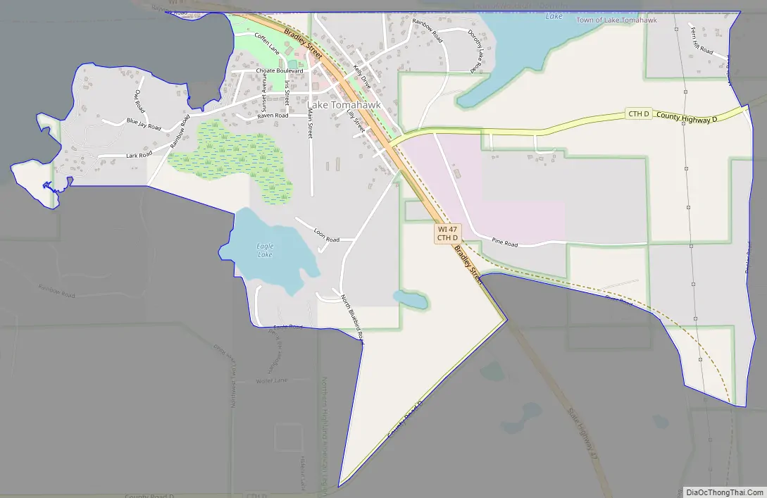
Lake Tomahawk Road Map
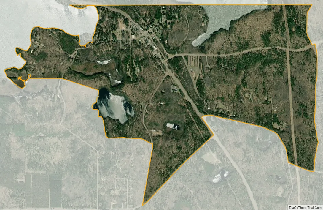
Lake Tomahawk city Satellite Map
See also
Map of Wisconsin State and its subdivision:- Adams
- Ashland
- Barron
- Bayfield
- Brown
- Buffalo
- Burnett
- Calumet
- Chippewa
- Clark
- Columbia
- Crawford
- Dane
- Dodge
- Door
- Douglas
- Dunn
- Eau Claire
- Florence
- Fond du Lac
- Forest
- Grant
- Green
- Green Lake
- Iowa
- Iron
- Jackson
- Jefferson
- Juneau
- Kenosha
- Kewaunee
- La Crosse
- Lafayette
- Lake Michigan
- Lake Superior
- Langlade
- Lincoln
- Manitowoc
- Marathon
- Marinette
- Marquette
- Menominee
- Milwaukee
- Monroe
- Oconto
- Oneida
- Outagamie
- Ozaukee
- Pepin
- Pierce
- Polk
- Portage
- Price
- Racine
- Richland
- Rock
- Rusk
- Saint Croix
- Sauk
- Sawyer
- Shawano
- Sheboygan
- Taylor
- Trempealeau
- Vernon
- Vilas
- Walworth
- Washburn
- Washington
- Waukesha
- Waupaca
- Waushara
- Winnebago
- Wood
- Alabama
- Alaska
- Arizona
- Arkansas
- California
- Colorado
- Connecticut
- Delaware
- District of Columbia
- Florida
- Georgia
- Hawaii
- Idaho
- Illinois
- Indiana
- Iowa
- Kansas
- Kentucky
- Louisiana
- Maine
- Maryland
- Massachusetts
- Michigan
- Minnesota
- Mississippi
- Missouri
- Montana
- Nebraska
- Nevada
- New Hampshire
- New Jersey
- New Mexico
- New York
- North Carolina
- North Dakota
- Ohio
- Oklahoma
- Oregon
- Pennsylvania
- Rhode Island
- South Carolina
- South Dakota
- Tennessee
- Texas
- Utah
- Vermont
- Virginia
- Washington
- West Virginia
- Wisconsin
- Wyoming