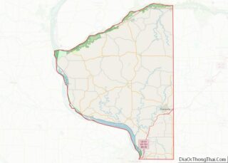
Lancaster is a city in and the county seat of Grant County, Wisconsin, United States. The population was 3,907 at the 2020 census.
| Name: | Lancaster city |
|---|---|
| LSAD Code: | 25 |
| LSAD Description: | city (suffix) |
| State: | Wisconsin |
| County: | Grant County |
| Elevation: | 1,099 ft (335 m) |
| Total Area: | 3.01 sq mi (7.80 km²) |
| Land Area: | 3.01 sq mi (7.80 km²) |
| Water Area: | 0.00 sq mi (0.00 km²) |
| Total Population: | 3,907 |
| Population Density: | 1,298.9/sq mi (501.5/km²) |
| ZIP code: | 53813 |
| Area code: | 608 |
| FIPS code: | 5542250 |
| GNISfeature ID: | 1567823 |
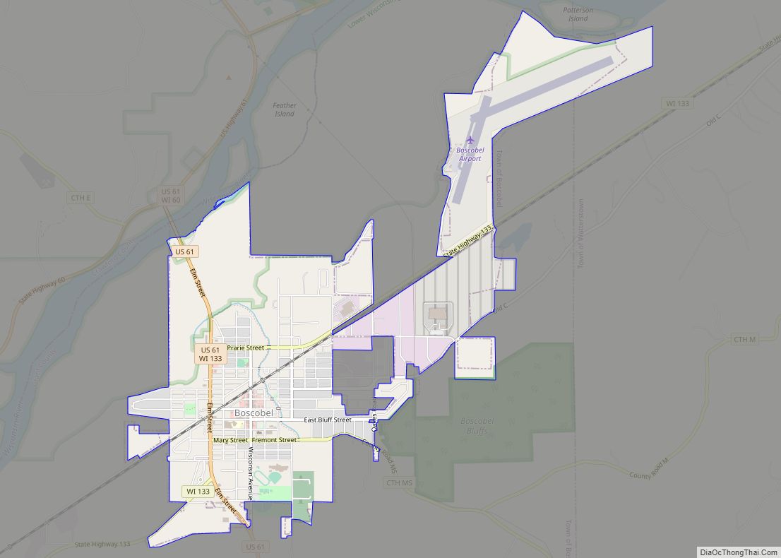
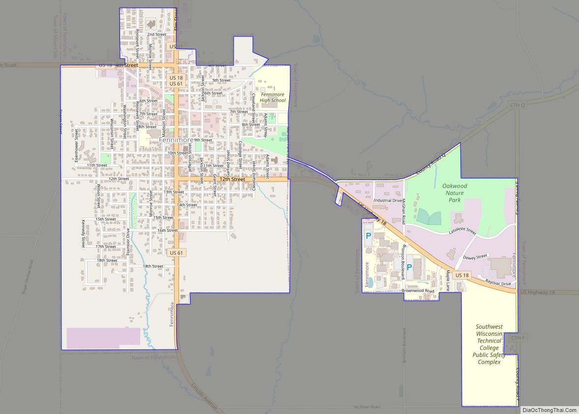
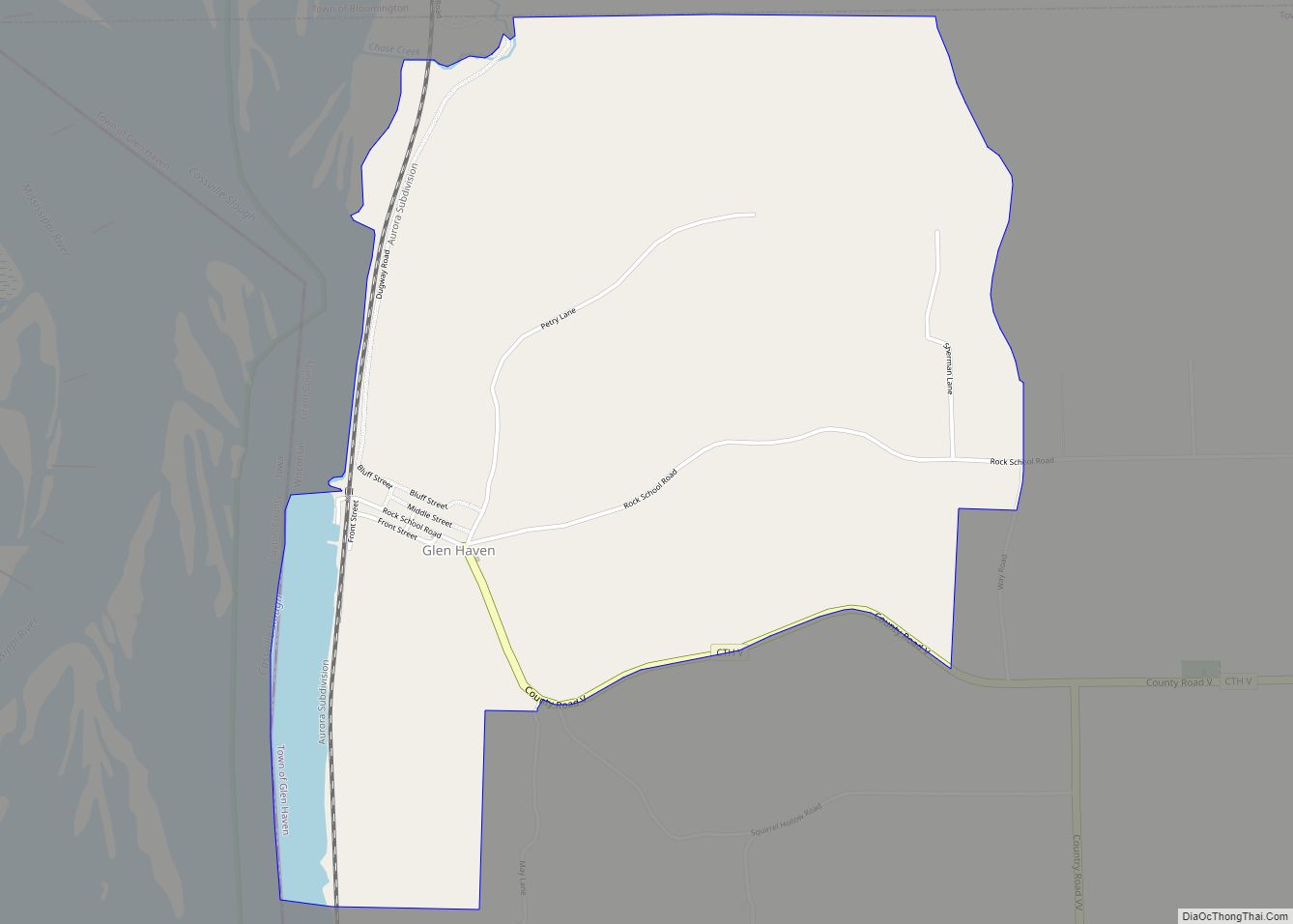
Online Interactive Map
Click on ![]() to view map in "full screen" mode.
to view map in "full screen" mode.
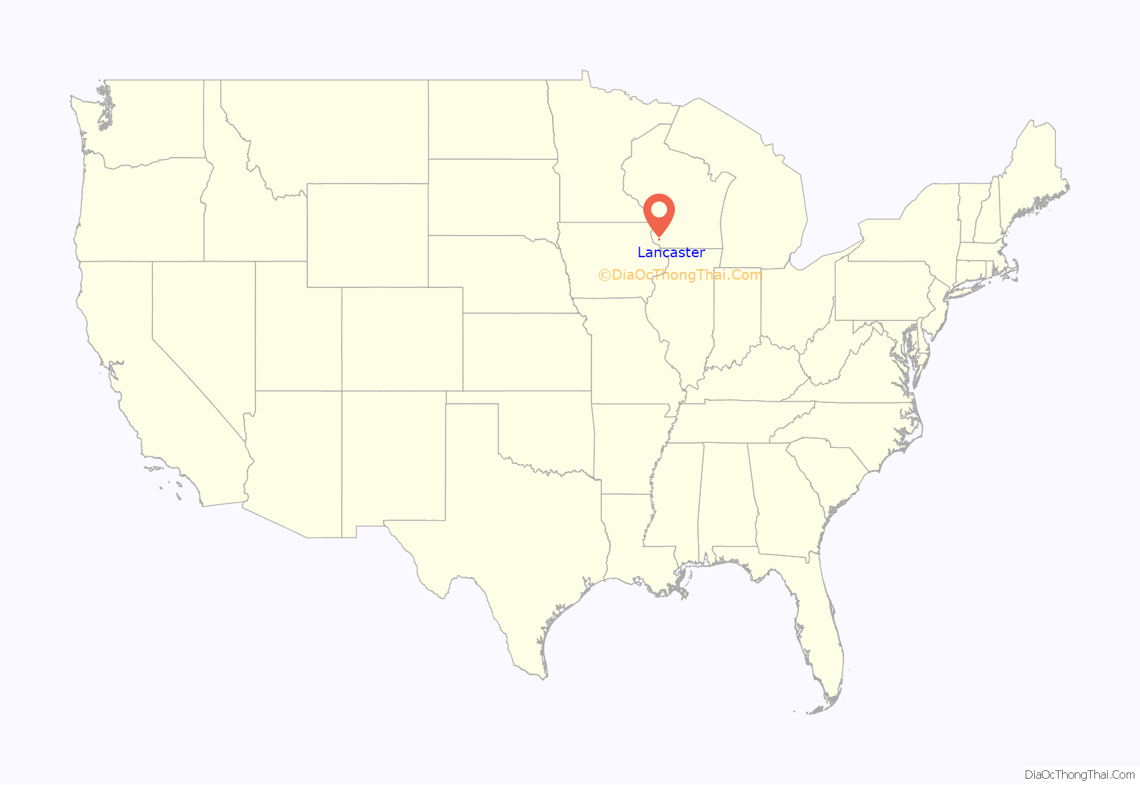
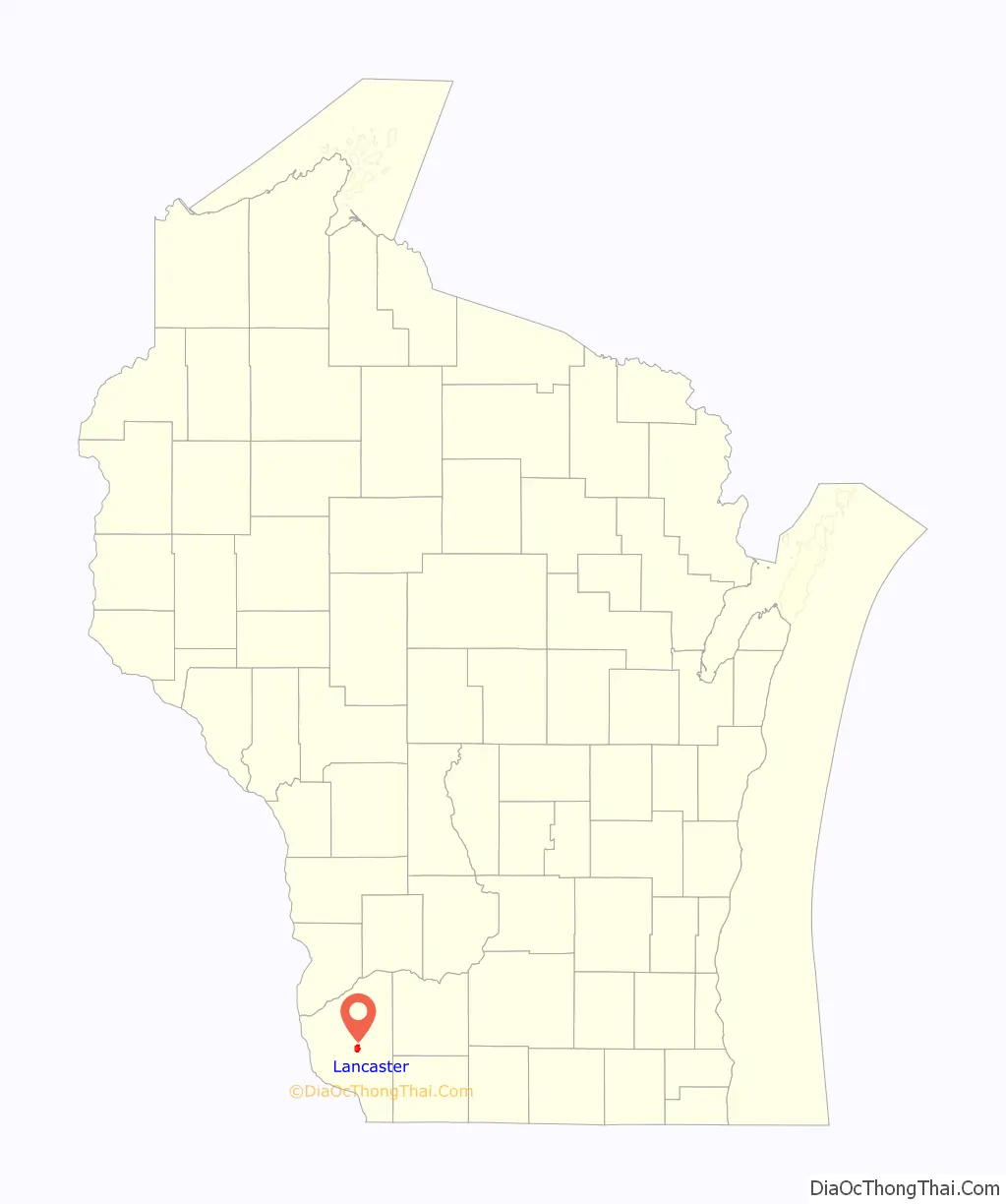
Lancaster location map. Where is Lancaster city?
History
Lancaster originated as a planned community to serve as the county seat for Grant County. Anticipating the county’s establishment in 1836, Major Glendower M. Price, a Cassville merchant and land speculator, purchased the site of Lancaster for its central location in the county. Major Price platted the town on a compass-aligned grid in 1837, reserving a large central square for the new county government. He was persuaded to name the city Lancaster by a relative who migrated from Lancaster, Pennsylvania. Maj. Price and Daniel Banfill contracted to construct the first county courthouse, which stood on the square from 1838-1851. A second courthouse was constructed in 1852-1853 and enlarged in 1865. The present, third courthouse was constructed on the site in 1902.
Pleasant Ridge, one of the first African-American communities in Wisconsin, was founded just outside Lancaster by the Shepard family in 1849 and settled in the 1850s. Lancaster was the home of the first governor of Wisconsin, Nelson Dewey.
Lancaster Road Map

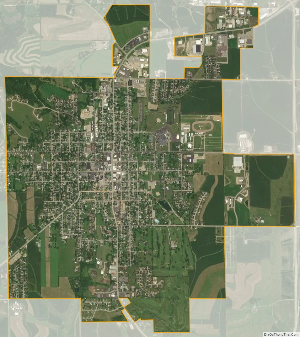
Lancaster city Satellite Map
Geography
Lancaster is located at 42°50′55″N 90°42′38″W / 42.848505°N 90.710430°W / 42.848505; -90.710430 (42.848505, −90.710430). Lancaster is located in the unglaciated “Driftless Area” of southwest Wisconsin whose topography is strikingly different from that of the rest of the state.
According to the United States Census Bureau, the city has a total area of 3.01 square miles (7.80 km), all of it land.
See also
Map of Wisconsin State and its subdivision:- Adams
- Ashland
- Barron
- Bayfield
- Brown
- Buffalo
- Burnett
- Calumet
- Chippewa
- Clark
- Columbia
- Crawford
- Dane
- Dodge
- Door
- Douglas
- Dunn
- Eau Claire
- Florence
- Fond du Lac
- Forest
- Grant
- Green
- Green Lake
- Iowa
- Iron
- Jackson
- Jefferson
- Juneau
- Kenosha
- Kewaunee
- La Crosse
- Lafayette
- Lake Michigan
- Lake Superior
- Langlade
- Lincoln
- Manitowoc
- Marathon
- Marinette
- Marquette
- Menominee
- Milwaukee
- Monroe
- Oconto
- Oneida
- Outagamie
- Ozaukee
- Pepin
- Pierce
- Polk
- Portage
- Price
- Racine
- Richland
- Rock
- Rusk
- Saint Croix
- Sauk
- Sawyer
- Shawano
- Sheboygan
- Taylor
- Trempealeau
- Vernon
- Vilas
- Walworth
- Washburn
- Washington
- Waukesha
- Waupaca
- Waushara
- Winnebago
- Wood
- Alabama
- Alaska
- Arizona
- Arkansas
- California
- Colorado
- Connecticut
- Delaware
- District of Columbia
- Florida
- Georgia
- Hawaii
- Idaho
- Illinois
- Indiana
- Iowa
- Kansas
- Kentucky
- Louisiana
- Maine
- Maryland
- Massachusetts
- Michigan
- Minnesota
- Mississippi
- Missouri
- Montana
- Nebraska
- Nevada
- New Hampshire
- New Jersey
- New Mexico
- New York
- North Carolina
- North Dakota
- Ohio
- Oklahoma
- Oregon
- Pennsylvania
- Rhode Island
- South Carolina
- South Dakota
- Tennessee
- Texas
- Utah
- Vermont
- Virginia
- Washington
- West Virginia
- Wisconsin
- Wyoming