Lime Ridge is a village in Sauk County, Wisconsin, United States. The population was 162 at the 2010 census.
| Name: | Lime Ridge village |
|---|---|
| LSAD Code: | 47 |
| LSAD Description: | village (suffix) |
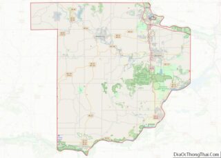
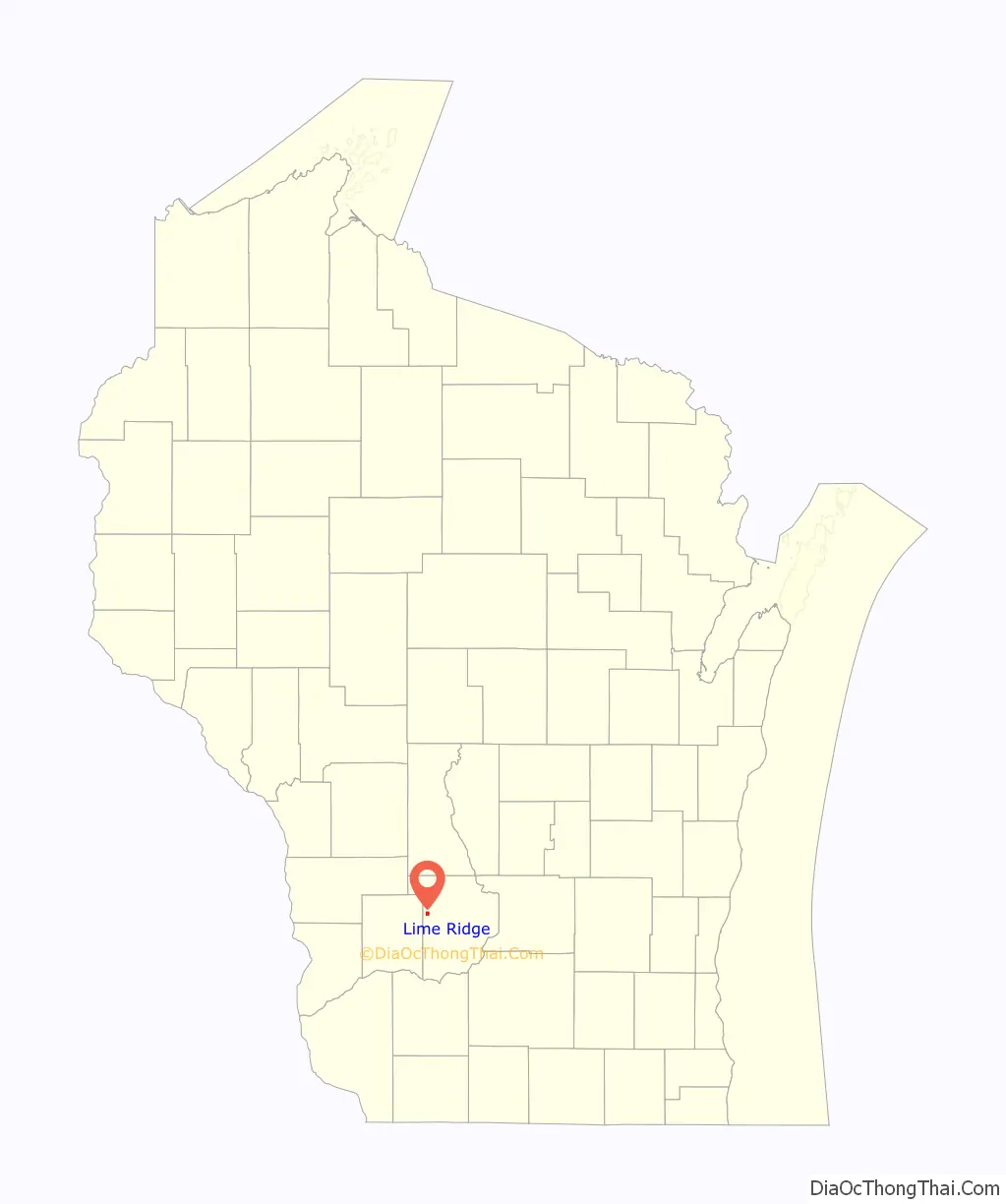
| State: | Wisconsin |
| County: | Sauk County |
| Elevation: | 1,181 ft (360 m) |
| Total Area: | 1.00 sq mi (2.59 km²) |
| Land Area: | 1.00 sq mi (2.59 km²) |
| Water Area: | 0.00 sq mi (0.00 km²) |
| Total Population: | 162 |
| Population Density: | 162.84/sq mi (62.89/km²) |
| Area code: | 608 |
| FIPS code: | 5544225 |
| GNISfeature ID: | 1568058 |
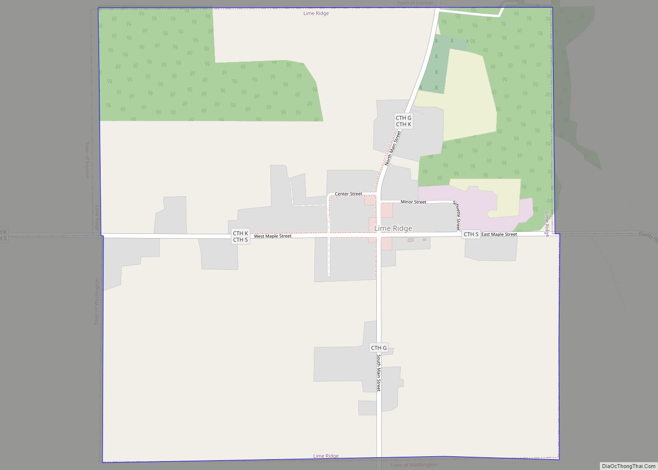
Online Interactive Map
Click on ![]() to view map in "full screen" mode.
to view map in "full screen" mode.
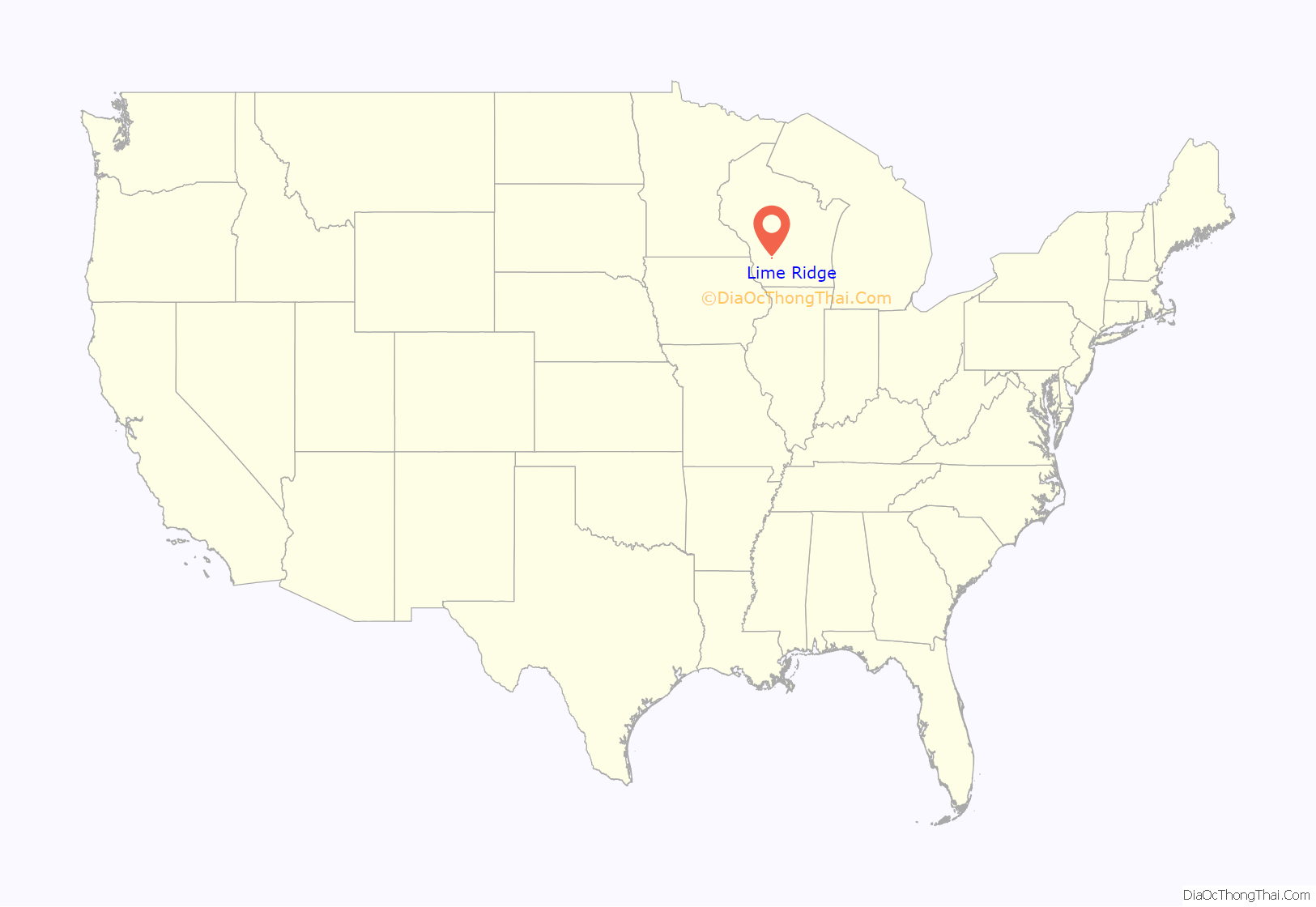
Lime Ridge location map. Where is Lime Ridge village?
History
The earliest settlers of Lime Ridge, as they arrived in the late 1850s, cleared the land of timber to plant crops, though others used the hardwood to make and sell railroad ties and stave bolts. The first post office was established in 1858. In 1867, Wesley Marsh opened a store, which was sold a few years later to John T. Pollock, and again in 1876 to Robert L. Bohn, an Ohio family that also built a dam and sawmill. Bohn bought hardwood timber from area farmers and converted it to barrel staves shipped to urban markets. Bohn also opened a hotel and in 1909 founded the State Bank of Lime Ridge. In 1874, the United Brethren opened a house of worship, used too by Baptists and Methodists in the community. In 1890, an Adventist church served members of that faith. After the population of German immigrants rose, in 1906 Trinity Lutheran church was built to serve that community. In 1912, St. Boniface Church was formed to serve the Catholic community.
Lime Ridge was incorporated in 1913. Rural electrification reached the village in 1922; the population at that time had risen to about 200. The Great Depression together with World War II proved crippling to the local economy; the bank and hotel closed, and several other businesses followed. Many residents today work in other places.
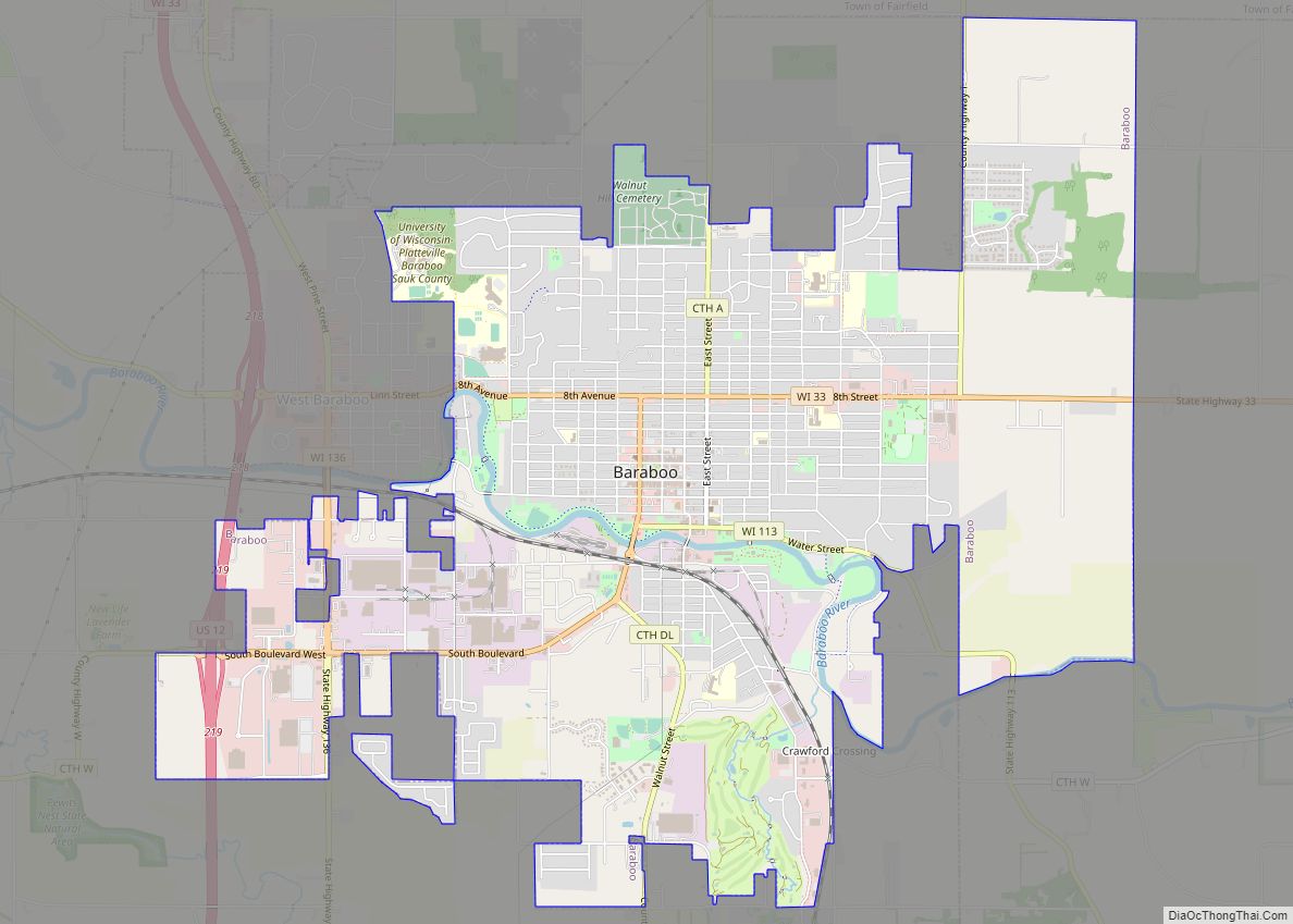
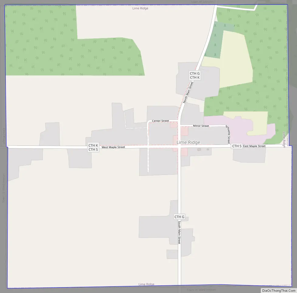
Lime Ridge Road Map
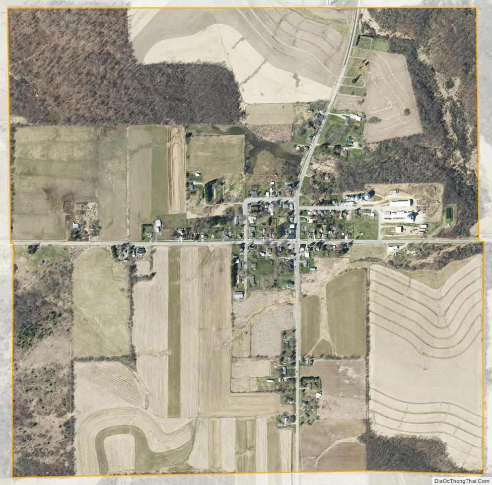
Lime Ridge city Satellite Map
Geography
Lime Ridge is located at 43°28′5″N 90°9′13″W / 43.46806°N 90.15361°W / 43.46806; -90.15361 (43.468074, -90.153701).
According to the United States Census Bureau, the village has a total area of 1.01 square miles (2.62 km), all of it land.
See also
Map of Wisconsin State and its subdivision:- Adams
- Ashland
- Barron
- Bayfield
- Brown
- Buffalo
- Burnett
- Calumet
- Chippewa
- Clark
- Columbia
- Crawford
- Dane
- Dodge
- Door
- Douglas
- Dunn
- Eau Claire
- Florence
- Fond du Lac
- Forest
- Grant
- Green
- Green Lake
- Iowa
- Iron
- Jackson
- Jefferson
- Juneau
- Kenosha
- Kewaunee
- La Crosse
- Lafayette
- Lake Michigan
- Lake Superior
- Langlade
- Lincoln
- Manitowoc
- Marathon
- Marinette
- Marquette
- Menominee
- Milwaukee
- Monroe
- Oconto
- Oneida
- Outagamie
- Ozaukee
- Pepin
- Pierce
- Polk
- Portage
- Price
- Racine
- Richland
- Rock
- Rusk
- Saint Croix
- Sauk
- Sawyer
- Shawano
- Sheboygan
- Taylor
- Trempealeau
- Vernon
- Vilas
- Walworth
- Washburn
- Washington
- Waukesha
- Waupaca
- Waushara
- Winnebago
- Wood
- Alabama
- Alaska
- Arizona
- Arkansas
- California
- Colorado
- Connecticut
- Delaware
- District of Columbia
- Florida
- Georgia
- Hawaii
- Idaho
- Illinois
- Indiana
- Iowa
- Kansas
- Kentucky
- Louisiana
- Maine
- Maryland
- Massachusetts
- Michigan
- Minnesota
- Mississippi
- Missouri
- Montana
- Nebraska
- Nevada
- New Hampshire
- New Jersey
- New Mexico
- New York
- North Carolina
- North Dakota
- Ohio
- Oklahoma
- Oregon
- Pennsylvania
- Rhode Island
- South Carolina
- South Dakota
- Tennessee
- Texas
- Utah
- Vermont
- Virginia
- Washington
- West Virginia
- Wisconsin
- Wyoming