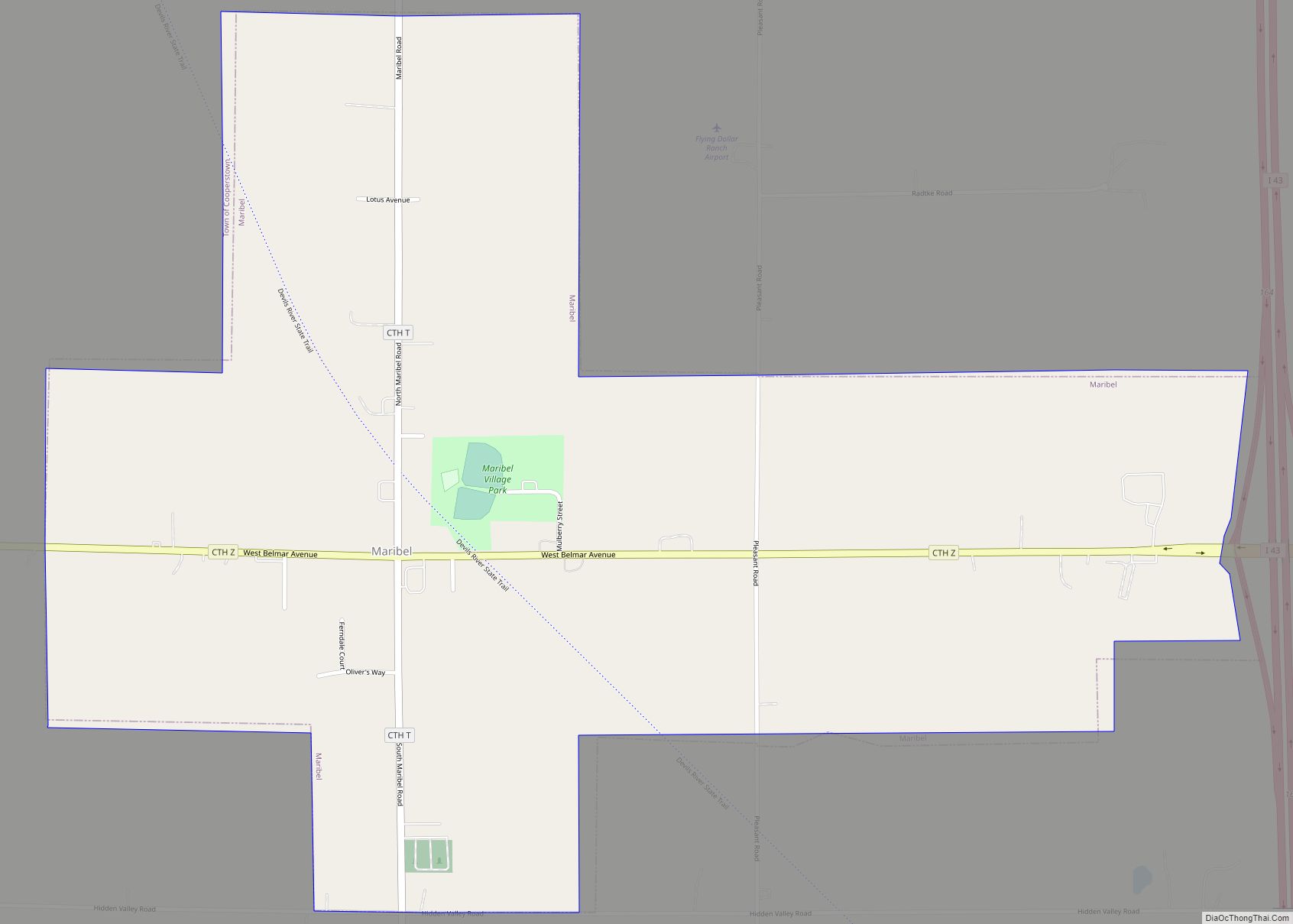
Maribel is a village in Manitowoc County, Wisconsin, United States. The population was 351 at the 2010 census.
| Name: | Maribel village |
|---|---|
| LSAD Code: | 47 |
| LSAD Description: | village (suffix) |
| State: | Wisconsin |
| County: | Manitowoc County |
| Elevation: | 860 ft (262 m) |
| Total Area: | 1.15 sq mi (2.97 km²) |
| Land Area: | 1.14 sq mi (2.96 km²) |
| Water Area: | 0.00 sq mi (0.01 km²) |
| Total Population: | 351 |
| Population Density: | 290.46/sq mi (112.17/km²) |
| Area code: | 920 |
| FIPS code: | 5549250 |
| GNISfeature ID: | 1569032 |
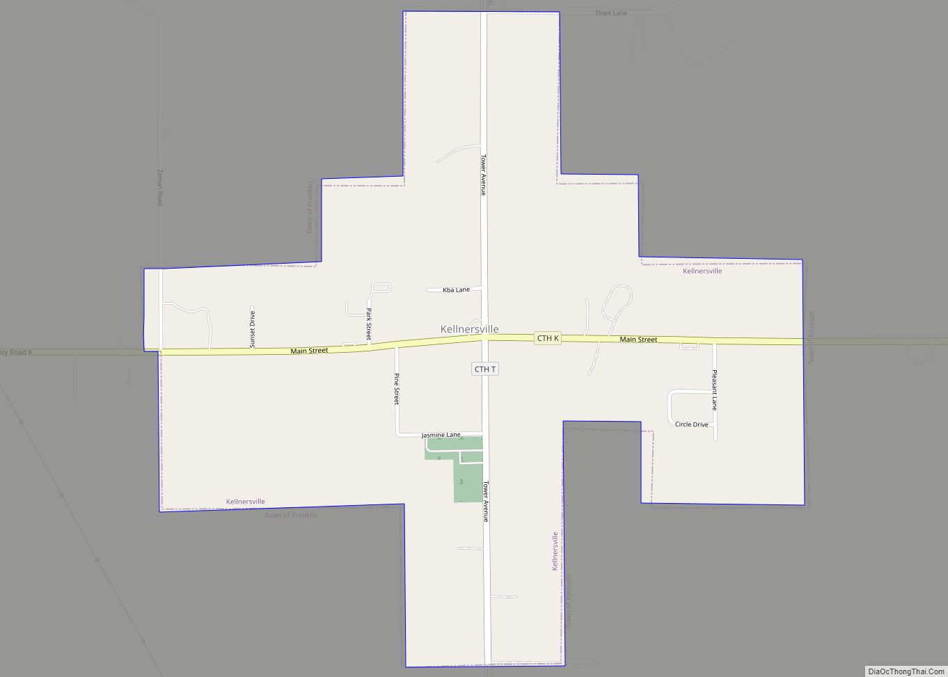
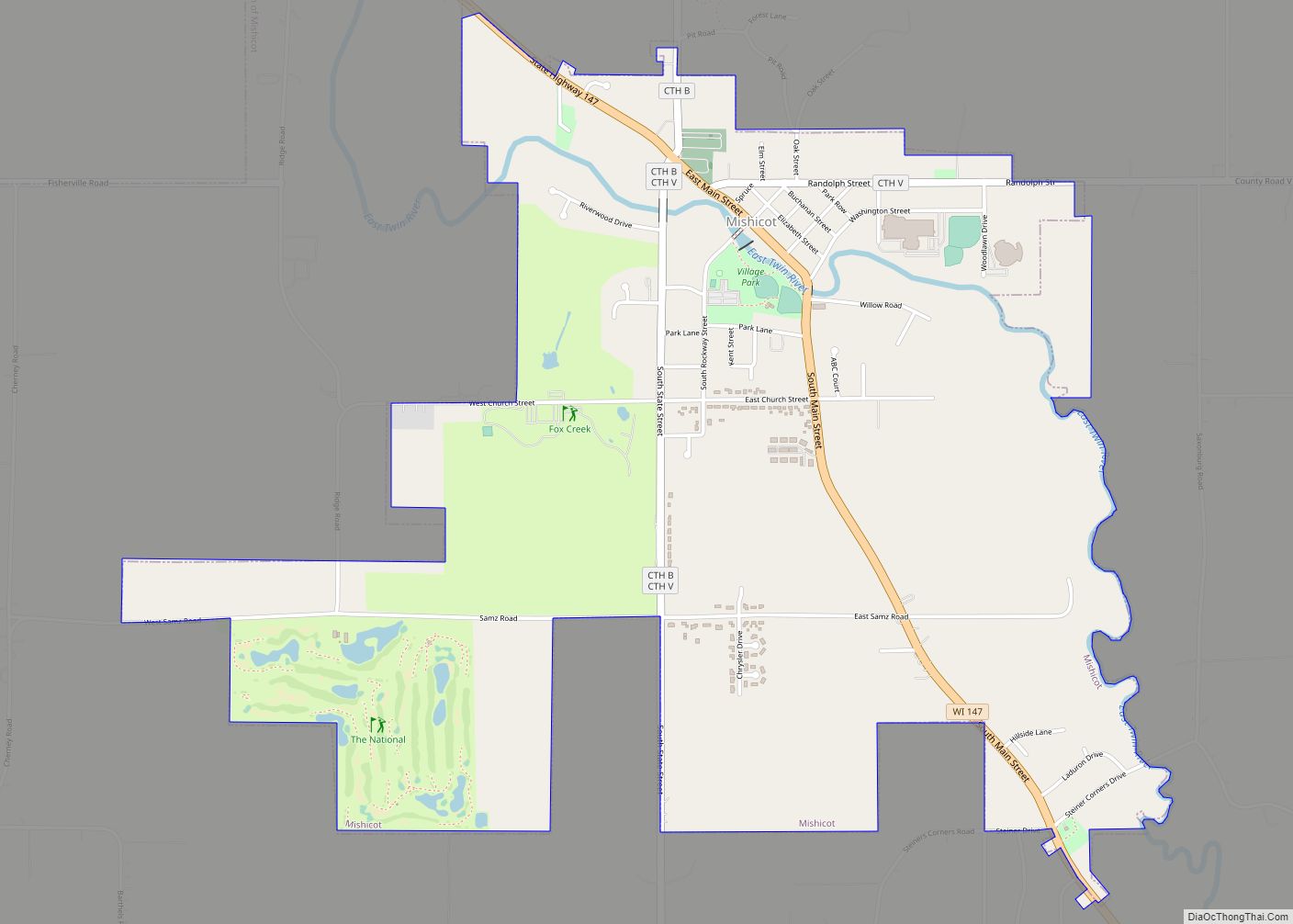
Online Interactive Map
Click on ![]() to view map in "full screen" mode.
to view map in "full screen" mode.
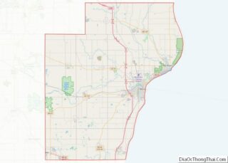
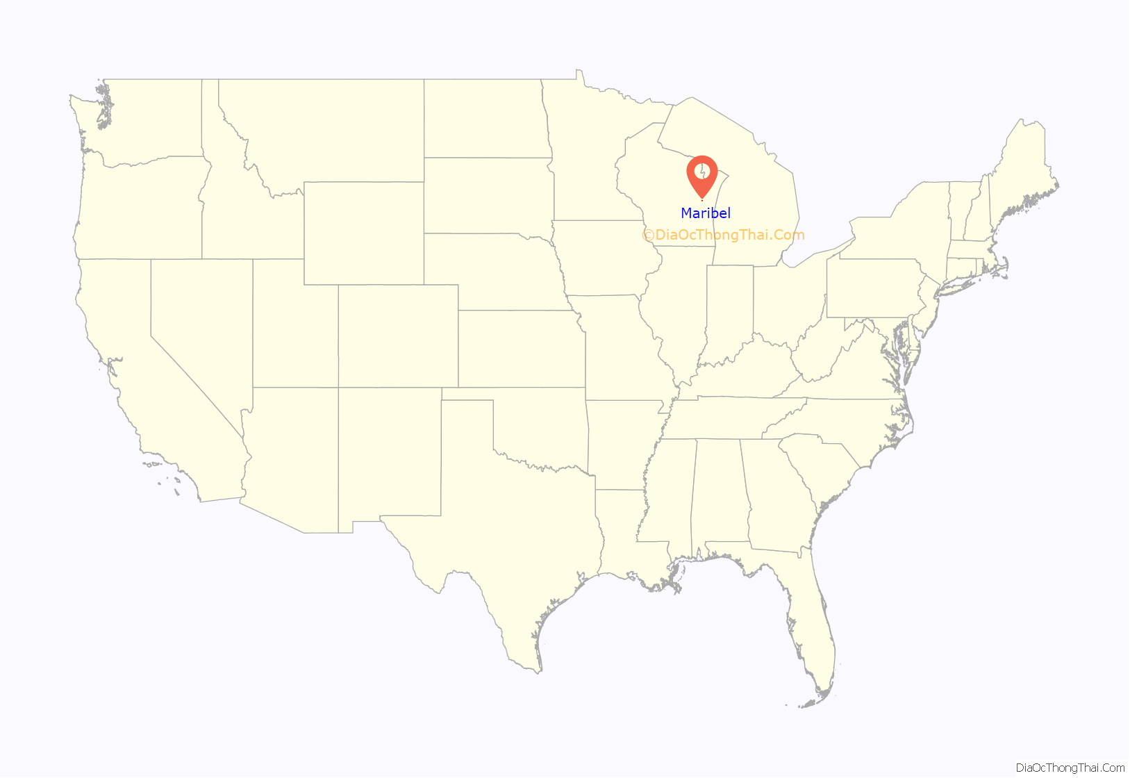
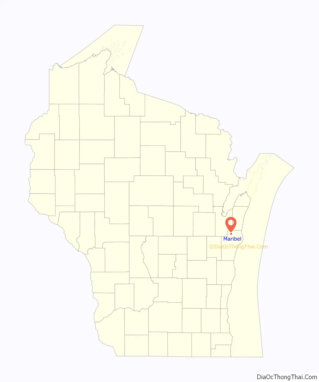
Maribel location map. Where is Maribel village?
History
A post office called Maribel has been in operation since 1837. The community took its name from a nearby mineral spring.
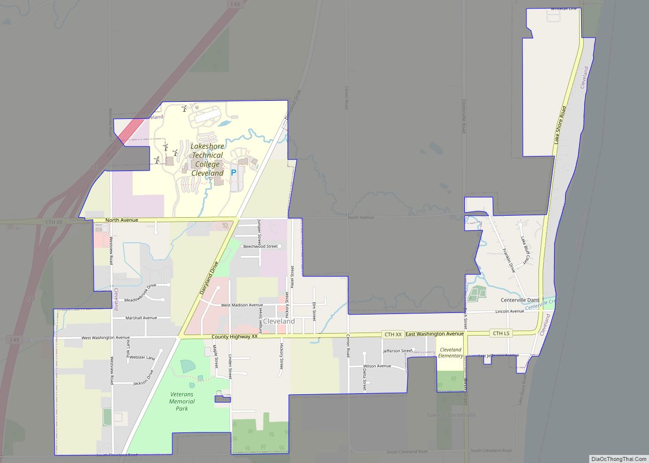
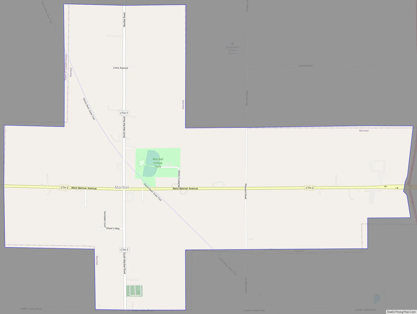
Maribel Road Map
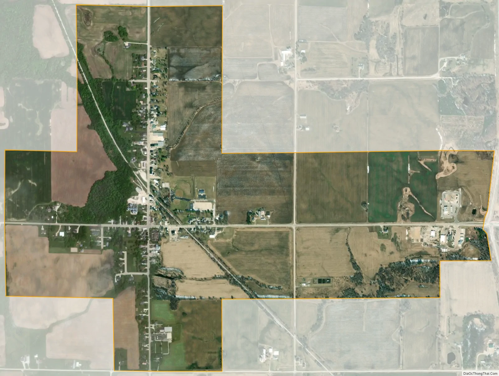
Maribel city Satellite Map
Geography
Maribel is located at 44°16′35″N 87°48′26″W / 44.27639°N 87.80722°W / 44.27639; -87.80722 (44.2763830 -87.8073129).
According to the United States Census Bureau, the village has a total area of 1.17 square miles (3.03 km), all of it land.
See also
Map of Wisconsin State and its subdivision:- Adams
- Ashland
- Barron
- Bayfield
- Brown
- Buffalo
- Burnett
- Calumet
- Chippewa
- Clark
- Columbia
- Crawford
- Dane
- Dodge
- Door
- Douglas
- Dunn
- Eau Claire
- Florence
- Fond du Lac
- Forest
- Grant
- Green
- Green Lake
- Iowa
- Iron
- Jackson
- Jefferson
- Juneau
- Kenosha
- Kewaunee
- La Crosse
- Lafayette
- Lake Michigan
- Lake Superior
- Langlade
- Lincoln
- Manitowoc
- Marathon
- Marinette
- Marquette
- Menominee
- Milwaukee
- Monroe
- Oconto
- Oneida
- Outagamie
- Ozaukee
- Pepin
- Pierce
- Polk
- Portage
- Price
- Racine
- Richland
- Rock
- Rusk
- Saint Croix
- Sauk
- Sawyer
- Shawano
- Sheboygan
- Taylor
- Trempealeau
- Vernon
- Vilas
- Walworth
- Washburn
- Washington
- Waukesha
- Waupaca
- Waushara
- Winnebago
- Wood
- Alabama
- Alaska
- Arizona
- Arkansas
- California
- Colorado
- Connecticut
- Delaware
- District of Columbia
- Florida
- Georgia
- Hawaii
- Idaho
- Illinois
- Indiana
- Iowa
- Kansas
- Kentucky
- Louisiana
- Maine
- Maryland
- Massachusetts
- Michigan
- Minnesota
- Mississippi
- Missouri
- Montana
- Nebraska
- Nevada
- New Hampshire
- New Jersey
- New Mexico
- New York
- North Carolina
- North Dakota
- Ohio
- Oklahoma
- Oregon
- Pennsylvania
- Rhode Island
- South Carolina
- South Dakota
- Tennessee
- Texas
- Utah
- Vermont
- Virginia
- Washington
- West Virginia
- Wisconsin
- Wyoming