Medford is a city in Taylor County, in north-central Wisconsin, United States. The population was 4,349 at the 2020 census. The city is located mostly within the boundaries of the Town of Medford. It is the county seat of Taylor County.
| Name: | Medford city |
|---|---|
| LSAD Code: | 25 |
| LSAD Description: | city (suffix) |
| State: | Wisconsin |
| County: | Taylor County |
| Total Area: | 4.52 sq mi (11.71 km²) |
| Land Area: | 4.49 sq mi (11.64 km²) |
| Water Area: | 0.03 sq mi (0.07 km²) |
| Total Population: | 4,349 |
| Population Density: | 968.0/sq mi (373.7/km²) |
| ZIP code: | 54451 |
| Area code: | 715 |
| FIPS code: | 5550425 |
| Website: | citymedfordwi.com |
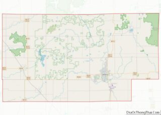
Online Interactive Map
Click on ![]() to view map in "full screen" mode.
to view map in "full screen" mode.
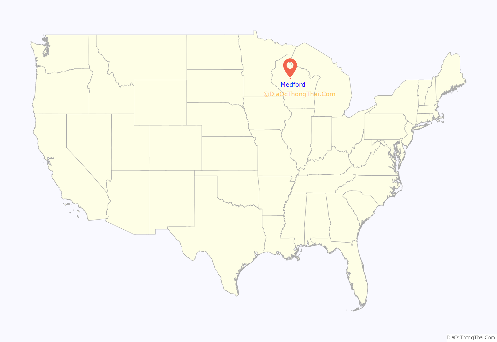
Medford location map. Where is Medford city?
History
Medford is located on historic Ojibwe forest land acquired by the United States in the 1837 Treaty of St. Peters. In 1864, the federal government authorized a grant of some 837,000 acres (1,308 sq mi; 3,390 km) of this land to subsidize railway construction through the area. The Wisconsin Central Railroad Company, controlled by Boston financier Gardner Colby, obtained the land grant and constructed the railroad in the 1870s. The railroad company and a local lumber milling company laid out the city of Medford in 1875 and sold lots for twenty-five dollars each. The railroad named the new settlement after Medford, Massachusetts, the hometown of a railroad official. Medford shipped over 1.5 million board feet of lumber by rail within a year of its establishment, and the area was soon clear cut for farming.
The Wisconsin Legislature organized Taylor County in 1875 and named Medford the county seat, leading to a dispute between the Wisconsin Central Railroad and the mill company over the location of the courthouse. The Taylor County Courthouse was ultimately constructed on land donated by the railroad company.
In the 1960s and 1970s, Medford hosted an annual Mink festival, celebrating the town’s claim to be the “Mink capital of the world.” Fur farms in the area make Taylor County a top mink producer in North America. During the COVID-19 pandemic, in 2020, thousands of mink died of the virus after having contracted it from human workers.
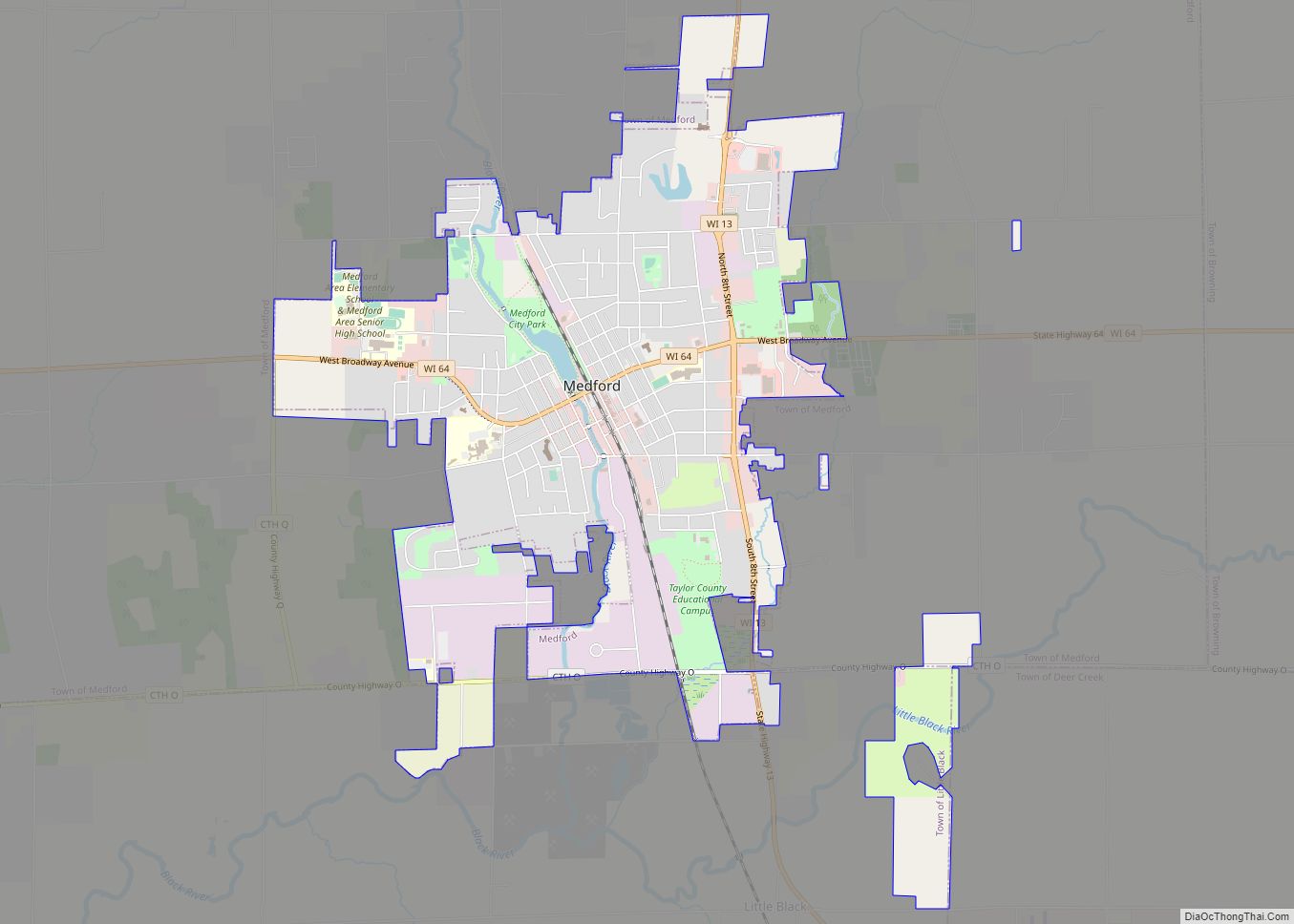
Medford Road Map
Medford city Satellite Map
Geography
Medford is located at 45°8′16″N 90°20′42″W / 45.13778°N 90.34500°W / 45.13778; -90.34500 (45.137994, −90.345227).
According to the United States Census Bureau, the city has a total area of 4.52 square miles (11.71 km), of which, 4.49 square miles (11.63 km) is land and 0.03 square miles (0.08 km) is water.
Climate
See also
Map of Wisconsin State and its subdivision:- Adams
- Ashland
- Barron
- Bayfield
- Brown
- Buffalo
- Burnett
- Calumet
- Chippewa
- Clark
- Columbia
- Crawford
- Dane
- Dodge
- Door
- Douglas
- Dunn
- Eau Claire
- Florence
- Fond du Lac
- Forest
- Grant
- Green
- Green Lake
- Iowa
- Iron
- Jackson
- Jefferson
- Juneau
- Kenosha
- Kewaunee
- La Crosse
- Lafayette
- Lake Michigan
- Lake Superior
- Langlade
- Lincoln
- Manitowoc
- Marathon
- Marinette
- Marquette
- Menominee
- Milwaukee
- Monroe
- Oconto
- Oneida
- Outagamie
- Ozaukee
- Pepin
- Pierce
- Polk
- Portage
- Price
- Racine
- Richland
- Rock
- Rusk
- Saint Croix
- Sauk
- Sawyer
- Shawano
- Sheboygan
- Taylor
- Trempealeau
- Vernon
- Vilas
- Walworth
- Washburn
- Washington
- Waukesha
- Waupaca
- Waushara
- Winnebago
- Wood
- Alabama
- Alaska
- Arizona
- Arkansas
- California
- Colorado
- Connecticut
- Delaware
- District of Columbia
- Florida
- Georgia
- Hawaii
- Idaho
- Illinois
- Indiana
- Iowa
- Kansas
- Kentucky
- Louisiana
- Maine
- Maryland
- Massachusetts
- Michigan
- Minnesota
- Mississippi
- Missouri
- Montana
- Nebraska
- Nevada
- New Hampshire
- New Jersey
- New Mexico
- New York
- North Carolina
- North Dakota
- Ohio
- Oklahoma
- Oregon
- Pennsylvania
- Rhode Island
- South Carolina
- South Dakota
- Tennessee
- Texas
- Utah
- Vermont
- Virginia
- Washington
- West Virginia
- Wisconsin
- Wyoming
