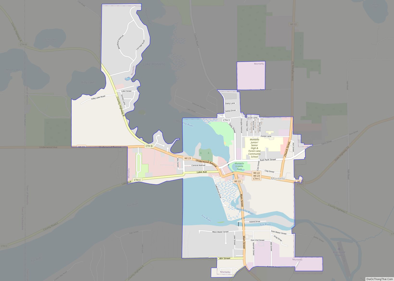
Montello is a city in and the county seat of Marquette County, Wisconsin, United States. The population was 1,495 at the 2010 census. The Fox River flows through the city. Montello is home to the largest tree in Wisconsin. A notable attraction in the city is the former granite quarry, which has been transformed into a park with several waterfalls.
| Name: | Montello city |
|---|---|
| LSAD Code: | 25 |
| LSAD Description: | city (suffix) |
| State: | Wisconsin |
| County: | Marquette County |
| Total Area: | 2.20 sq mi (5.70 km²) |
| Land Area: | 1.96 sq mi (5.07 km²) |
| Water Area: | 0.24 sq mi (0.62 km²) |
| Total Population: | 1,495 |
| Population Density: | 748.34/sq mi (288.87/km²) |
| ZIP code: | 53949 |
| Area code: | 608 |
| FIPS code: | 5553875 |
| Website: | http://montellowi.com |
Online Interactive Map
Click on ![]() to view map in "full screen" mode.
to view map in "full screen" mode.
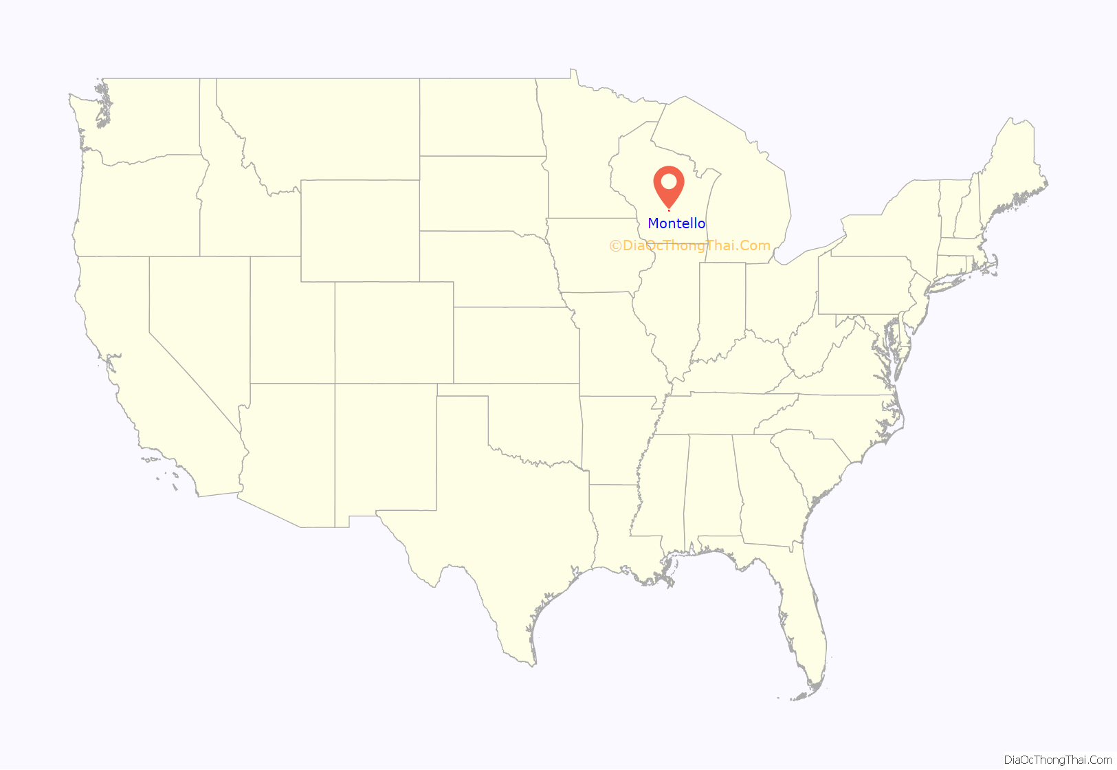
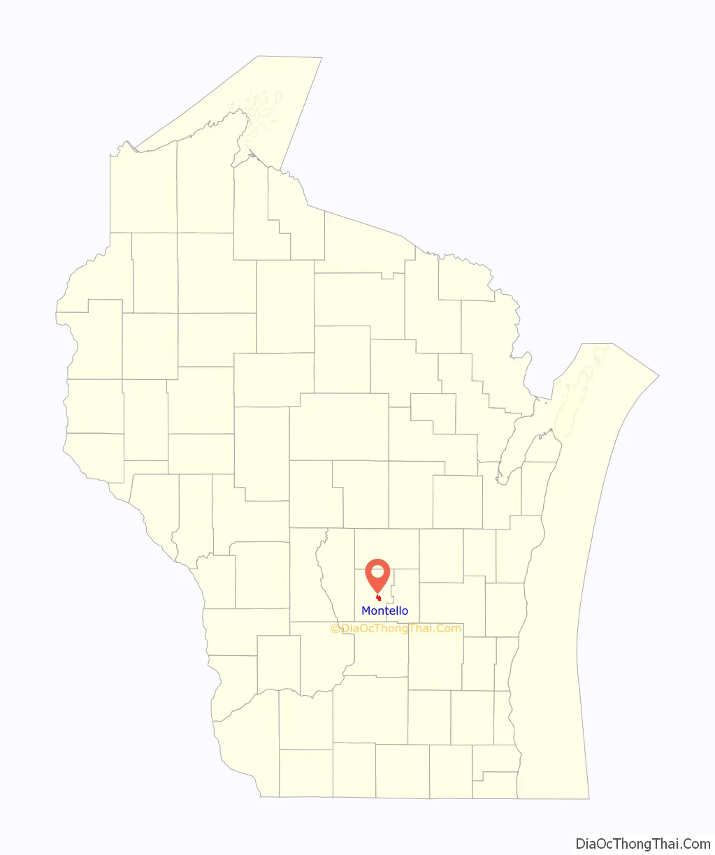
Montello location map. Where is Montello city?
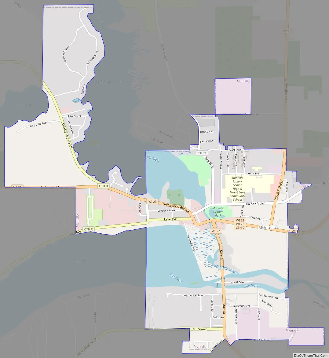
Montello Road Map
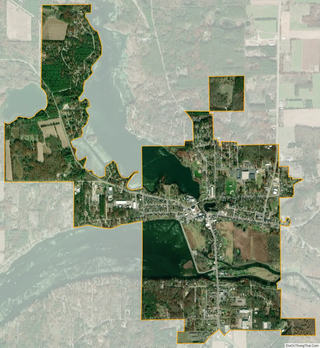
Montello city Satellite Map
Geography
According to the United States Census Bureau, the city has a total area of 2.15 square miles (5.57 km), of which, 1.91 square miles (4.95 km) is land and 0.24 square miles (0.62 km) is water.
The Fox River flows from east through the middle of Montello. There is a dam in Montello, and the upstream portion of the river to the west of the dam is called Buffalo Lake.
The Montello River flows from the North meeting the Fox at the south end of Montello. The upstream portion of the river above the other dam is Montello Lake.
See also
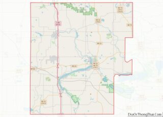
Map of Wisconsin State and its subdivision:- Adams
- Ashland
- Barron
- Bayfield
- Brown
- Buffalo
- Burnett
- Calumet
- Chippewa
- Clark
- Columbia
- Crawford
- Dane
- Dodge
- Door
- Douglas
- Dunn
- Eau Claire
- Florence
- Fond du Lac
- Forest
- Grant
- Green
- Green Lake
- Iowa
- Iron
- Jackson
- Jefferson
- Juneau
- Kenosha
- Kewaunee
- La Crosse
- Lafayette
- Lake Michigan
- Lake Superior
- Langlade
- Lincoln
- Manitowoc
- Marathon
- Marinette
- Marquette
- Menominee
- Milwaukee
- Monroe
- Oconto
- Oneida
- Outagamie
- Ozaukee
- Pepin
- Pierce
- Polk
- Portage
- Price
- Racine
- Richland
- Rock
- Rusk
- Saint Croix
- Sauk
- Sawyer
- Shawano
- Sheboygan
- Taylor
- Trempealeau
- Vernon
- Vilas
- Walworth
- Washburn
- Washington
- Waukesha
- Waupaca
- Waushara
- Winnebago
- Wood
- Alabama
- Alaska
- Arizona
- Arkansas
- California
- Colorado
- Connecticut
- Delaware
- District of Columbia
- Florida
- Georgia
- Hawaii
- Idaho
- Illinois
- Indiana
- Iowa
- Kansas
- Kentucky
- Louisiana
- Maine
- Maryland
- Massachusetts
- Michigan
- Minnesota
- Mississippi
- Missouri
- Montana
- Nebraska
- Nevada
- New Hampshire
- New Jersey
- New Mexico
- New York
- North Carolina
- North Dakota
- Ohio
- Oklahoma
- Oregon
- Pennsylvania
- Rhode Island
- South Carolina
- South Dakota
- Tennessee
- Texas
- Utah
- Vermont
- Virginia
- Washington
- West Virginia
- Wisconsin
- Wyoming