New Lisbon is a city in Juneau County, Wisconsin, United States. The population was 1,748 at the 2020 census.
| Name: | New Lisbon city |
|---|---|
| LSAD Code: | 25 |
| LSAD Description: | city (suffix) |
| State: | Wisconsin |
| County: | Juneau County |
| Elevation: | 896 ft (273 m) |
| Total Area: | 2.92 sq mi (7.57 km²) |
| Land Area: | 2.73 sq mi (7.08 km²) |
| Water Area: | 0.19 sq mi (0.49 km²) |
| Total Population: | 1,748 |
| Population Density: | 639.6/sq mi (246.9/km²) |
| Area code: | 608 |
| FIPS code: | 5556900 |
| GNISfeature ID: | 1570225 |
Online Interactive Map
Click on ![]() to view map in "full screen" mode.
to view map in "full screen" mode.
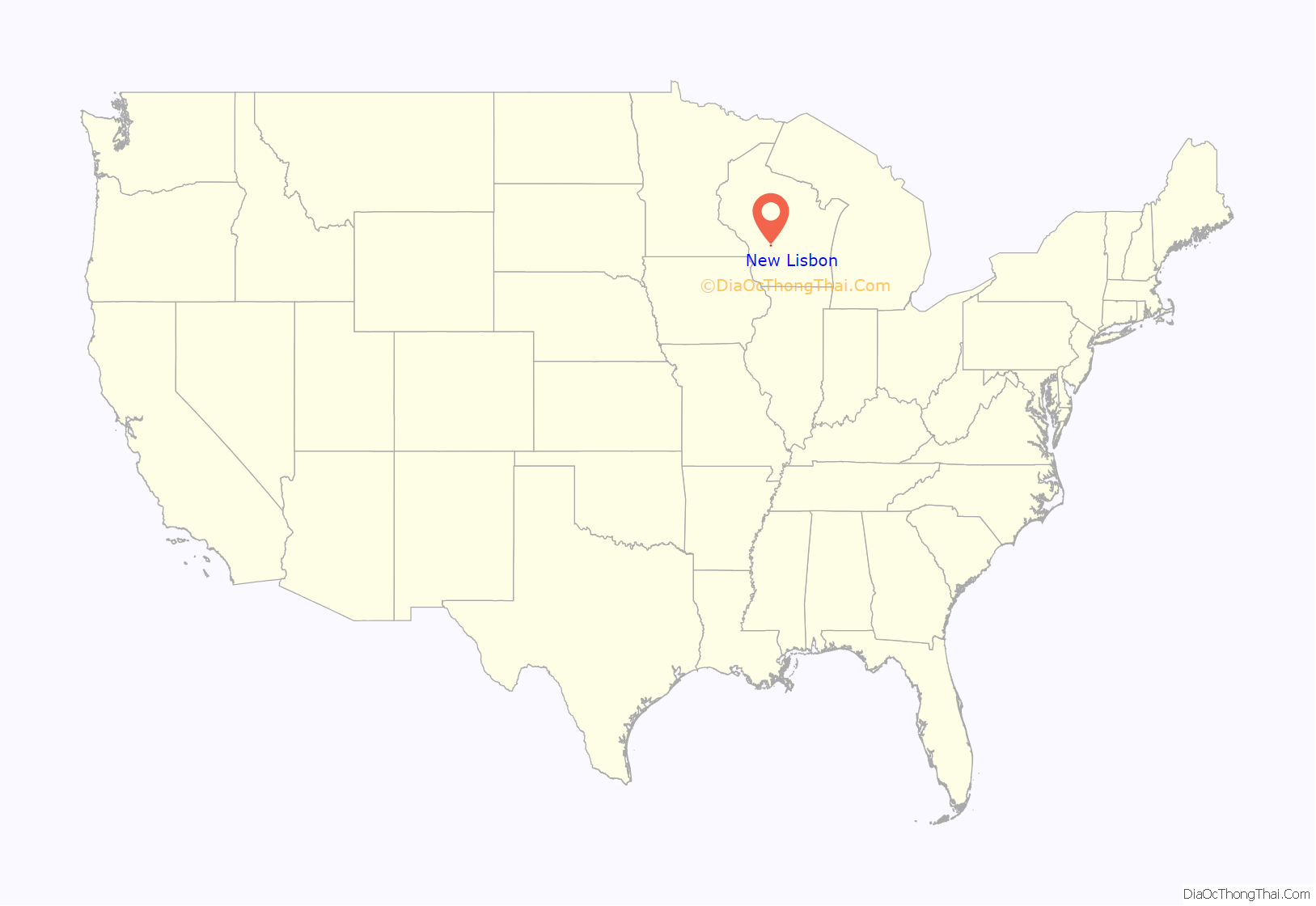
New Lisbon location map. Where is New Lisbon city?
History
The site of New Lisbon was used as a seasonal winter encampment by Ho-Chunk people, who called it Waac Hot’ųp Eeja (anglicized to Wa Du Shuda), meaning “we leave canoe here.” The United States acquired the land from the Ho-Chunk nation in an 1836 treaty.
The first white settlers, Amasa Wilson and C.B. Smith, arrived in 1838 to harvest lumber in the vicinity. Wilson and Smith selected the site of New Lisbon for a log boom on the Lemonweir River and constructed a sawmill at the site in 1842-1843. In 1855, Amasa Wilson platted the village. J.A. Chase platted an addition not long afterwards. The village was originally named Mill Haven but later changed to New Lisbon, possibly at the suggestion of county clerk Larmon Saxton, who hailed from Lisbon, Ohio. In 1857, the La Crosse and Milwaukee Railroad connected to the community. New Lisbon was incorporated by the Wisconsin Legislature in March 1870.
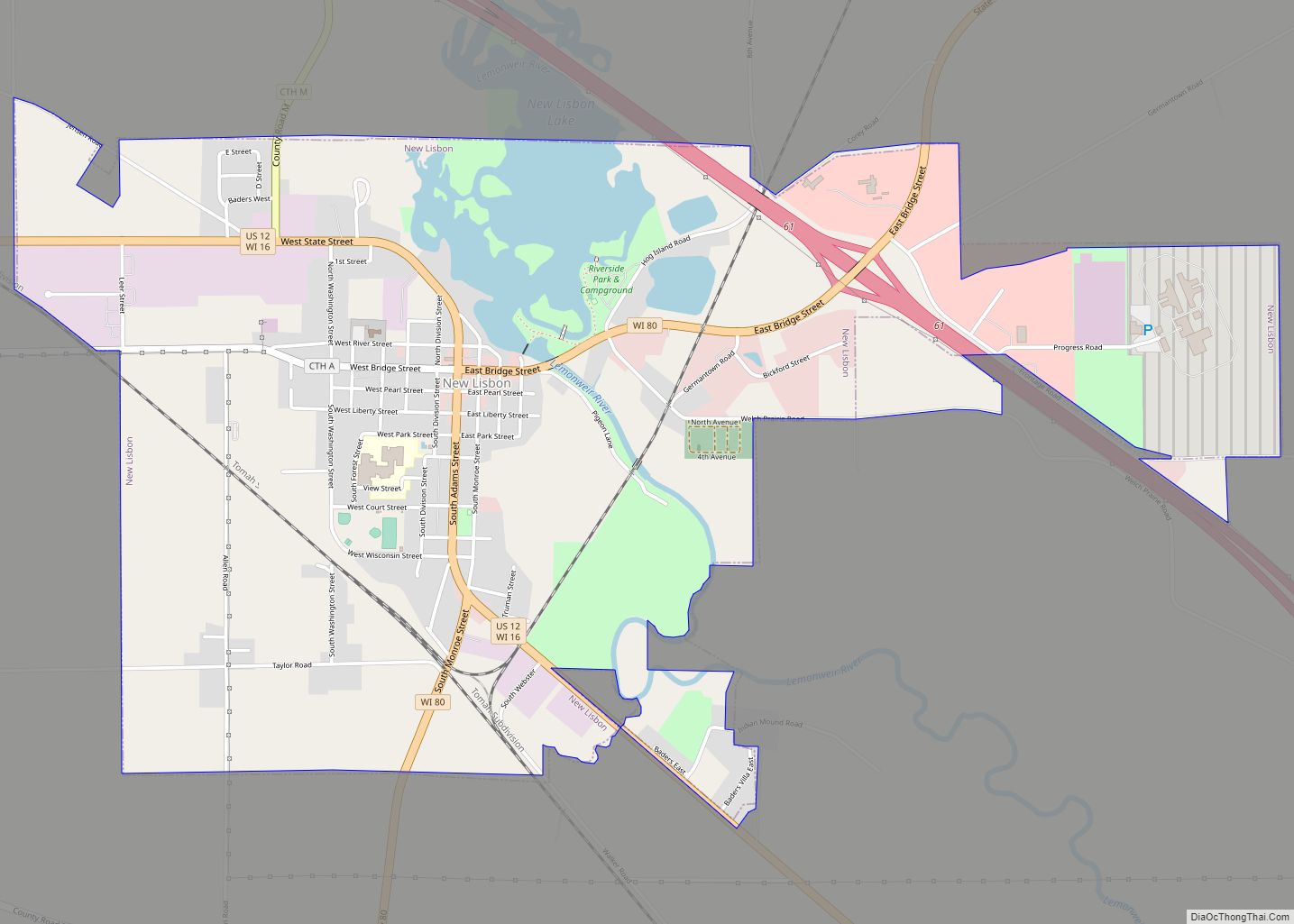
New Lisbon Road Map
New Lisbon city Satellite Map
Geography
New Lisbon is located at 43°52′37″N 90°9′57″W / 43.87694°N 90.16583°W / 43.87694; -90.16583 (43.877032, -90.165908).
According to the United States Census Bureau, the city has a total area of 2.92 square miles (7.56 km), of which, 2.73 square miles (7.07 km) is land and 0.19 square miles (0.49 km) is water.
See also
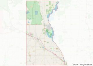
Map of Wisconsin State and its subdivision:- Adams
- Ashland
- Barron
- Bayfield
- Brown
- Buffalo
- Burnett
- Calumet
- Chippewa
- Clark
- Columbia
- Crawford
- Dane
- Dodge
- Door
- Douglas
- Dunn
- Eau Claire
- Florence
- Fond du Lac
- Forest
- Grant
- Green
- Green Lake
- Iowa
- Iron
- Jackson
- Jefferson
- Juneau
- Kenosha
- Kewaunee
- La Crosse
- Lafayette
- Lake Michigan
- Lake Superior
- Langlade
- Lincoln
- Manitowoc
- Marathon
- Marinette
- Marquette
- Menominee
- Milwaukee
- Monroe
- Oconto
- Oneida
- Outagamie
- Ozaukee
- Pepin
- Pierce
- Polk
- Portage
- Price
- Racine
- Richland
- Rock
- Rusk
- Saint Croix
- Sauk
- Sawyer
- Shawano
- Sheboygan
- Taylor
- Trempealeau
- Vernon
- Vilas
- Walworth
- Washburn
- Washington
- Waukesha
- Waupaca
- Waushara
- Winnebago
- Wood
- Alabama
- Alaska
- Arizona
- Arkansas
- California
- Colorado
- Connecticut
- Delaware
- District of Columbia
- Florida
- Georgia
- Hawaii
- Idaho
- Illinois
- Indiana
- Iowa
- Kansas
- Kentucky
- Louisiana
- Maine
- Maryland
- Massachusetts
- Michigan
- Minnesota
- Mississippi
- Missouri
- Montana
- Nebraska
- Nevada
- New Hampshire
- New Jersey
- New Mexico
- New York
- North Carolina
- North Dakota
- Ohio
- Oklahoma
- Oregon
- Pennsylvania
- Rhode Island
- South Carolina
- South Dakota
- Tennessee
- Texas
- Utah
- Vermont
- Virginia
- Washington
- West Virginia
- Wisconsin
- Wyoming
