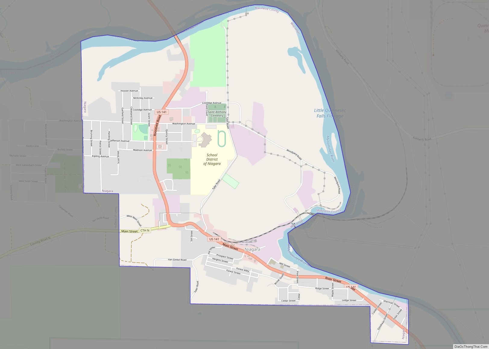
Niagara is a city in Marinette County, Wisconsin, United States. The population was 1,624 at the 2010 census. The city lies to the north of and adjacent to the Town of Niagara. It is part of the Marinette, WI–MI Micropolitan Statistical Area.
| Name: | Niagara city |
|---|---|
| LSAD Code: | 25 |
| LSAD Description: | city (suffix) |
| State: | Wisconsin |
| County: | Marinette County |
| Total Area: | 3.01 sq mi (7.80 km²) |
| Land Area: | 2.76 sq mi (7.15 km²) |
| Water Area: | 0.25 sq mi (0.64 km²) |
| Total Population: | 1,624 |
| Population Density: | 559.02/sq mi (215.83/km²) |
| ZIP code: | 54151 |
| Area code: | 715 & 534 |
| FIPS code: | 5557325 |
Online Interactive Map
Click on ![]() to view map in "full screen" mode.
to view map in "full screen" mode.
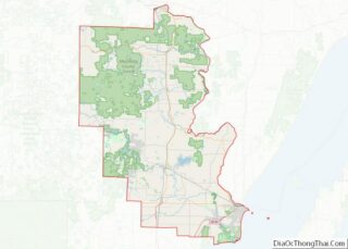
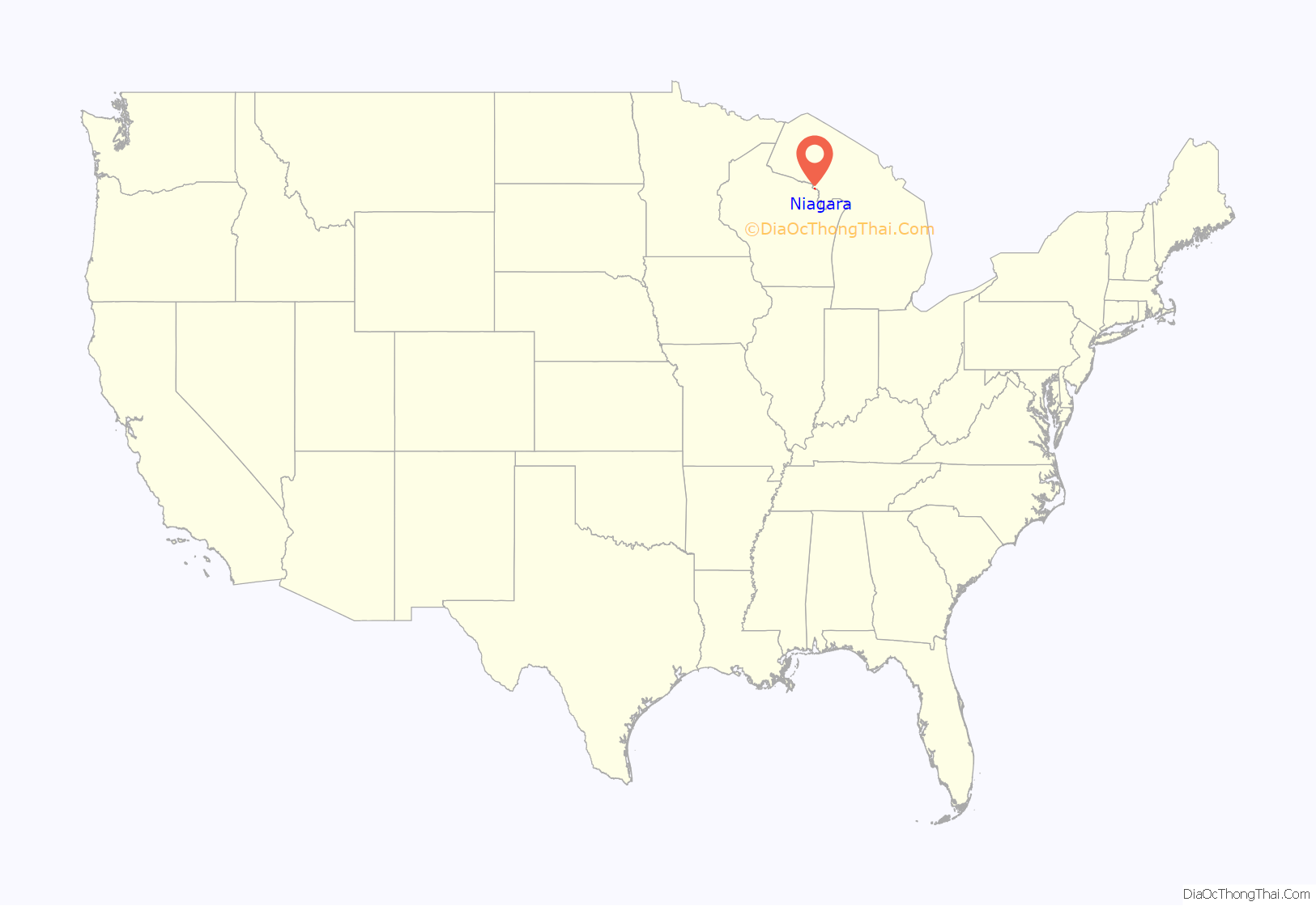
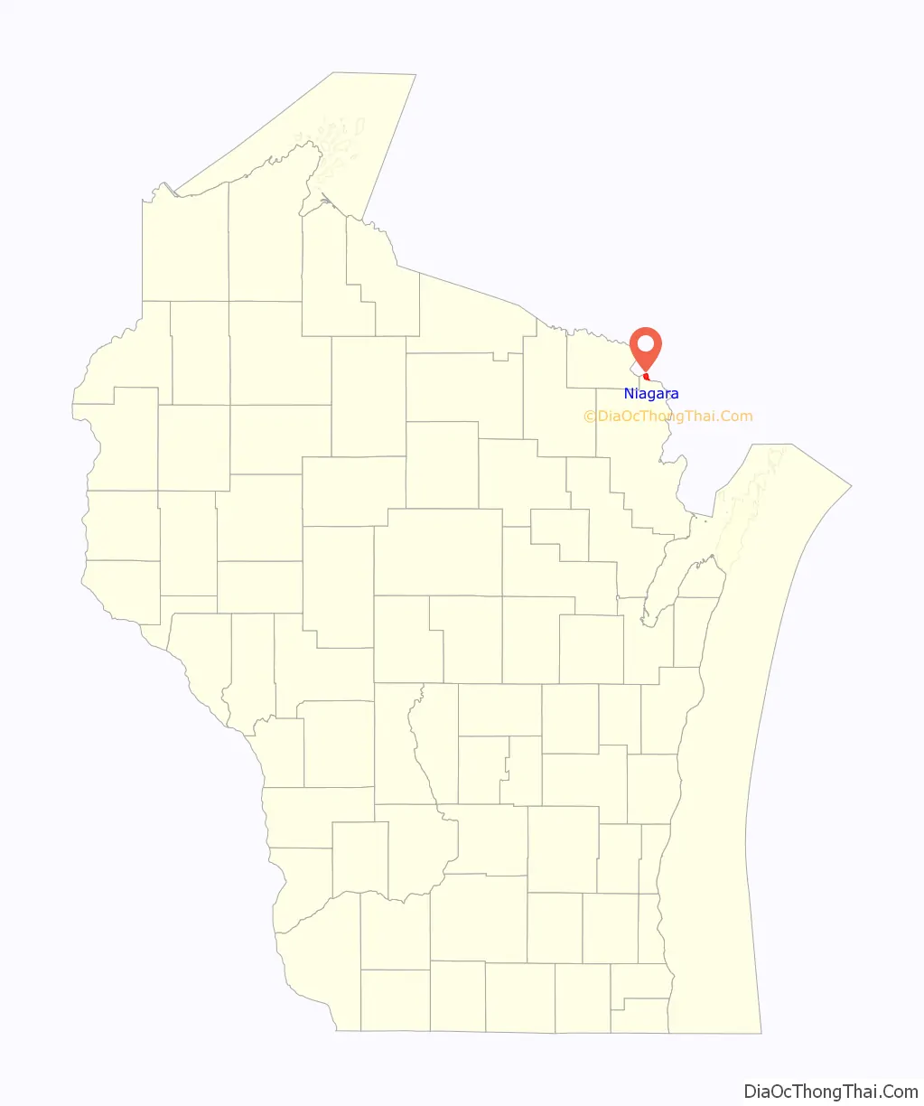
Niagara location map. Where is Niagara city?
History
The city of Niagara was founded in 1900 on the banks of the Menominee River. Niagara is an Iroquois word that means “thundering waters”, which is also used in the famous Niagara Falls, between New York and the Canadian province of Ontario.
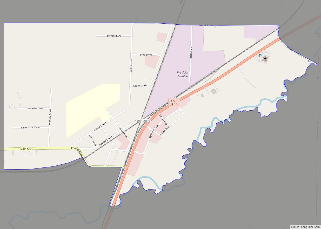
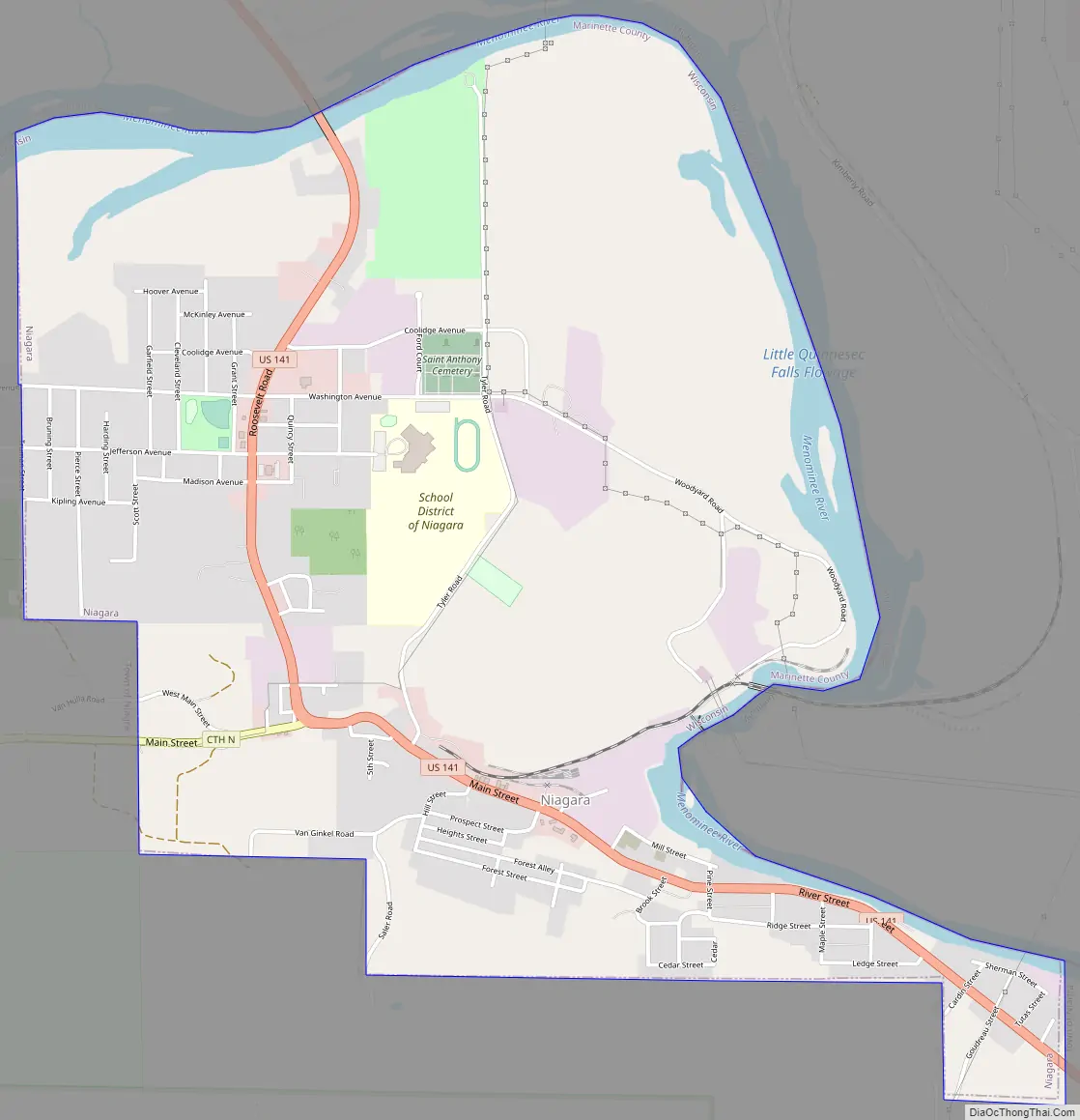
Niagara Road Map
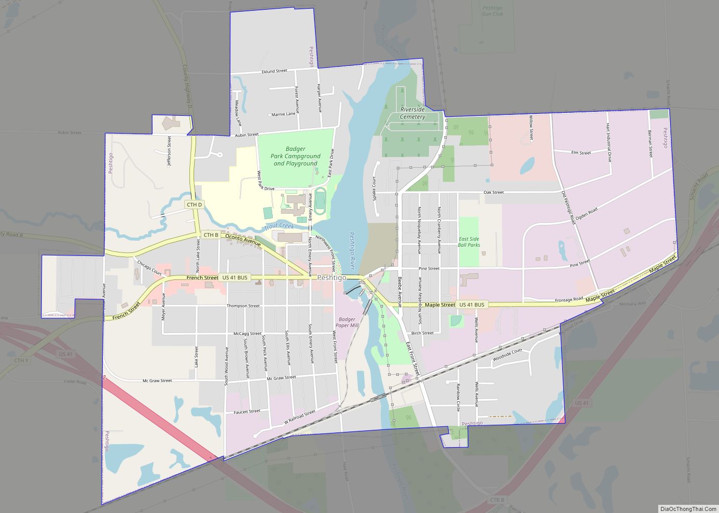
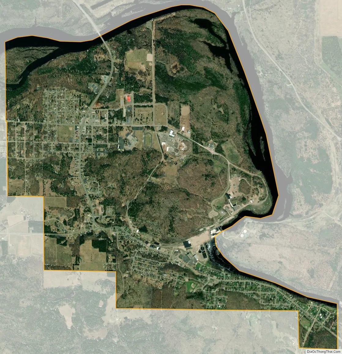
Niagara city Satellite Map
Geography
Niagara is located at 45°46′41″N 88°0′13″W / 45.77806°N 88.00361°W / 45.77806; -88.00361 (45.778244, -88.003867).
According to the United States Census Bureau, the city has a total area of 3.00 square miles (7.77 km), of which, 2.75 square miles (7.12 km) is land and 0.25 square miles (0.65 km) is water.
See also
Map of Wisconsin State and its subdivision:- Adams
- Ashland
- Barron
- Bayfield
- Brown
- Buffalo
- Burnett
- Calumet
- Chippewa
- Clark
- Columbia
- Crawford
- Dane
- Dodge
- Door
- Douglas
- Dunn
- Eau Claire
- Florence
- Fond du Lac
- Forest
- Grant
- Green
- Green Lake
- Iowa
- Iron
- Jackson
- Jefferson
- Juneau
- Kenosha
- Kewaunee
- La Crosse
- Lafayette
- Lake Michigan
- Lake Superior
- Langlade
- Lincoln
- Manitowoc
- Marathon
- Marinette
- Marquette
- Menominee
- Milwaukee
- Monroe
- Oconto
- Oneida
- Outagamie
- Ozaukee
- Pepin
- Pierce
- Polk
- Portage
- Price
- Racine
- Richland
- Rock
- Rusk
- Saint Croix
- Sauk
- Sawyer
- Shawano
- Sheboygan
- Taylor
- Trempealeau
- Vernon
- Vilas
- Walworth
- Washburn
- Washington
- Waukesha
- Waupaca
- Waushara
- Winnebago
- Wood
- Alabama
- Alaska
- Arizona
- Arkansas
- California
- Colorado
- Connecticut
- Delaware
- District of Columbia
- Florida
- Georgia
- Hawaii
- Idaho
- Illinois
- Indiana
- Iowa
- Kansas
- Kentucky
- Louisiana
- Maine
- Maryland
- Massachusetts
- Michigan
- Minnesota
- Mississippi
- Missouri
- Montana
- Nebraska
- Nevada
- New Hampshire
- New Jersey
- New Mexico
- New York
- North Carolina
- North Dakota
- Ohio
- Oklahoma
- Oregon
- Pennsylvania
- Rhode Island
- South Carolina
- South Dakota
- Tennessee
- Texas
- Utah
- Vermont
- Virginia
- Washington
- West Virginia
- Wisconsin
- Wyoming