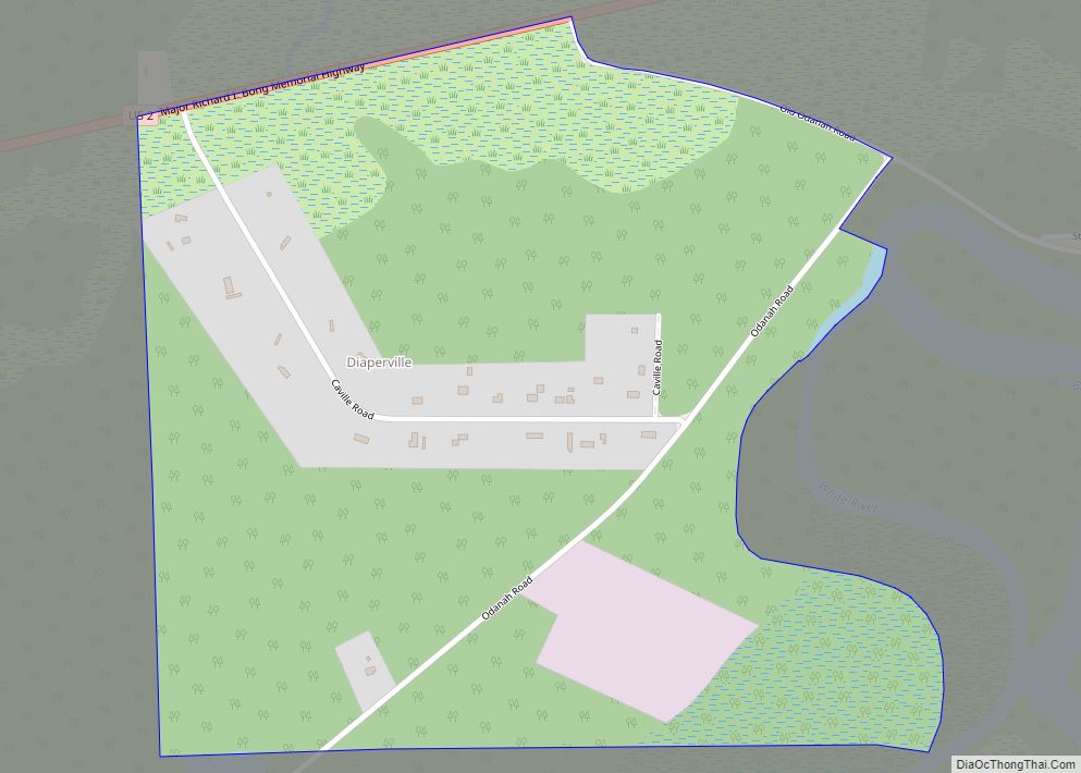
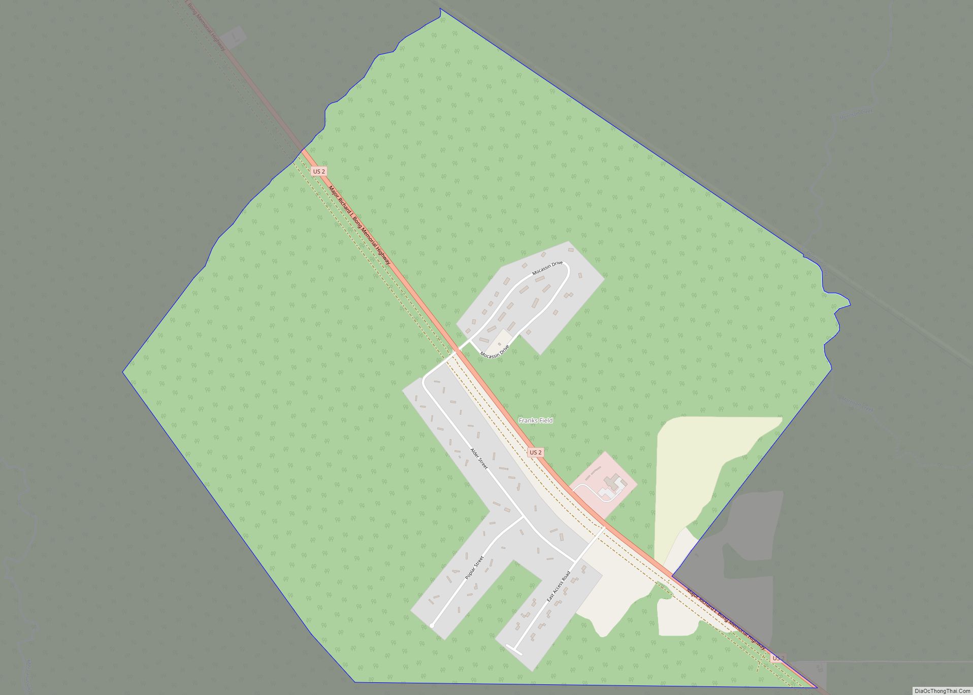
Odanah (Ojibwe: Oodena) is an unincorporated community and census-designated place (CDP) in Ashland County, Wisconsin, in the town of Sanborn, United States, on the banks of the Bad River. The population was 47 at the 2020 census.
Odanah is the cultural and administrative center of the Bad River Chippewa Band of the Chippewa.
For statistical purposes, the U.S. Census Bureau distinguishes Odanah from New Odanah, which has most of the community’s population. In local parlance, the names are used interchangeably. Official state and county maps from the Wisconsin DOT only show Odanah.
| Name: | Odanah CDP |
|---|---|
| LSAD Code: | 57 |
| LSAD Description: | CDP (suffix) |
| State: | Wisconsin |
| County: | Ashland County |
| Elevation: | 610 ft (186 m) |
| Total Area: | 2.773 sq mi (7.18 km²) |
| Land Area: | 2.617 sq mi (6.78 km²) |
| Water Area: | 0.156 sq mi (0.40 km²) |
| Total Population: | 47 |
| Population Density: | 18.0/sq mi (6.9/km²) |
| Area code: | 715 & 534 |
| FIPS code: | 5559450 |
| GNISfeature ID: | 1570746 |
Online Interactive Map
Click on ![]() to view map in "full screen" mode.
to view map in "full screen" mode.
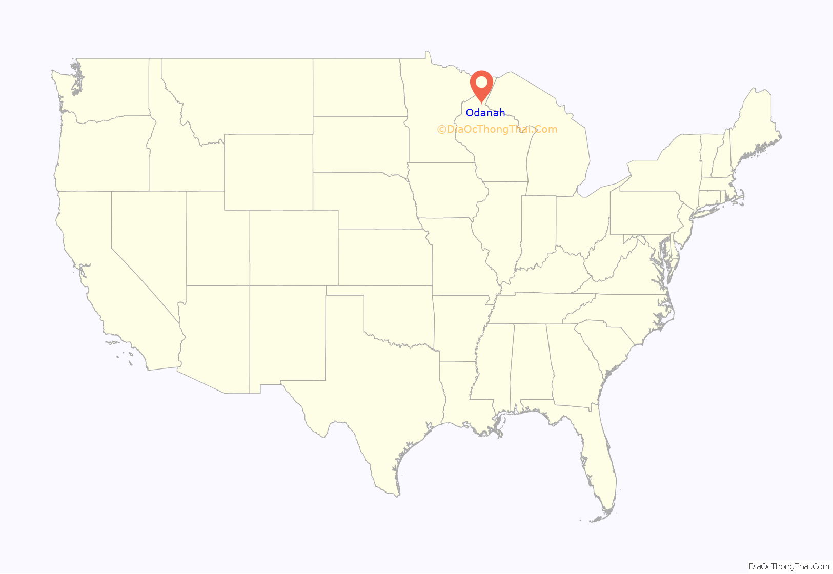
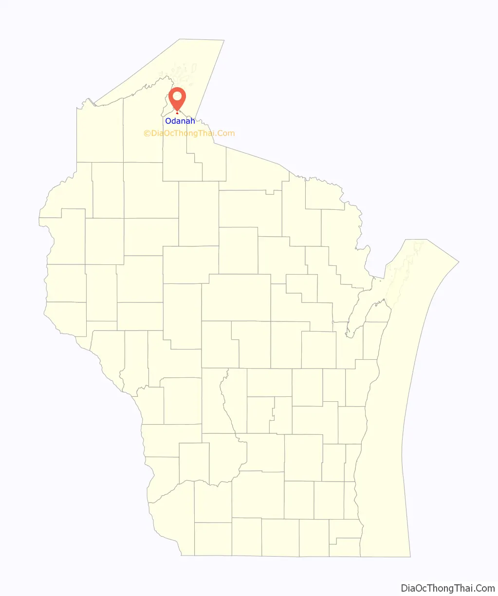
Odanah location map. Where is Odanah CDP?
History
A post office called Odanah has been in operation since 1855. The name is from an Ojibwe language word, now spelled oodena, meaning “village.”
A 1960 flood led to the establishment of the Bad River Housing Authority, which relocated thousands of Odanah residents to higher ground a few miles down the road, away from the flood plain.
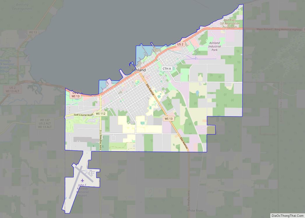
Odanah Road Map
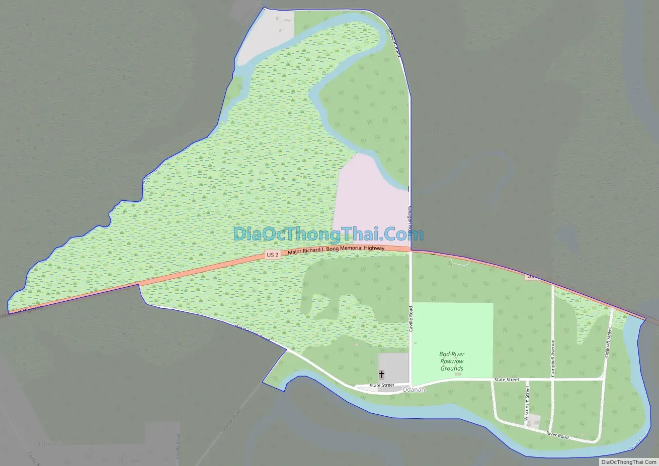
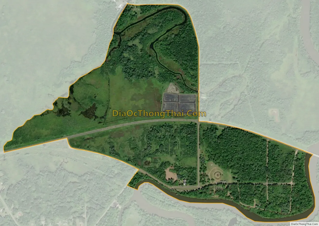
Odanah city Satellite Map
Geography
Odanah is located at 46°36′9″N 90°40′57″W / 46.60250°N 90.68250°W / 46.60250; -90.68250 (46.602594, -90.682582), along the Bad River.
According to the United States Census Bureau, the CDP has a total area of 2.77 square miles (7.18km), of which 2.62 square miles (6.78km) is land and 0.16 square miles (0.41km) is water.
See also
Map of Wisconsin State and its subdivision:- Adams
- Ashland
- Barron
- Bayfield
- Brown
- Buffalo
- Burnett
- Calumet
- Chippewa
- Clark
- Columbia
- Crawford
- Dane
- Dodge
- Door
- Douglas
- Dunn
- Eau Claire
- Florence
- Fond du Lac
- Forest
- Grant
- Green
- Green Lake
- Iowa
- Iron
- Jackson
- Jefferson
- Juneau
- Kenosha
- Kewaunee
- La Crosse
- Lafayette
- Lake Michigan
- Lake Superior
- Langlade
- Lincoln
- Manitowoc
- Marathon
- Marinette
- Marquette
- Menominee
- Milwaukee
- Monroe
- Oconto
- Oneida
- Outagamie
- Ozaukee
- Pepin
- Pierce
- Polk
- Portage
- Price
- Racine
- Richland
- Rock
- Rusk
- Saint Croix
- Sauk
- Sawyer
- Shawano
- Sheboygan
- Taylor
- Trempealeau
- Vernon
- Vilas
- Walworth
- Washburn
- Washington
- Waukesha
- Waupaca
- Waushara
- Winnebago
- Wood
- Alabama
- Alaska
- Arizona
- Arkansas
- California
- Colorado
- Connecticut
- Delaware
- District of Columbia
- Florida
- Georgia
- Hawaii
- Idaho
- Illinois
- Indiana
- Iowa
- Kansas
- Kentucky
- Louisiana
- Maine
- Maryland
- Massachusetts
- Michigan
- Minnesota
- Mississippi
- Missouri
- Montana
- Nebraska
- Nevada
- New Hampshire
- New Jersey
- New Mexico
- New York
- North Carolina
- North Dakota
- Ohio
- Oklahoma
- Oregon
- Pennsylvania
- Rhode Island
- South Carolina
- South Dakota
- Tennessee
- Texas
- Utah
- Vermont
- Virginia
- Washington
- West Virginia
- Wisconsin
- Wyoming