Omro is a city in Winnebago County, Wisconsin, United States. The population was 3,517 at the 2010 census. The city is located along the Fox River, approximately 10 miles west of Oshkosh, Wisconsin.
| Name: | Omro city |
|---|---|
| LSAD Code: | 25 |
| LSAD Description: | city (suffix) |
| State: | Wisconsin |
| County: | Winnebago County |
| Elevation: | 758 ft (231 m) |
| Total Area: | 2.57 sq mi (6.65 km²) |
| Land Area: | 2.44 sq mi (6.32 km²) |
| Water Area: | 0.13 sq mi (0.34 km²) 6.75% |
| Total Population: | 3,517 |
| Population Density: | 1,469.65/sq mi (567.32/km²) |
| ZIP code: | 54963 |
| Area code: | 920 |
| FIPS code: | 5559875 |
| GNISfeature ID: | 1576330 |
| Website: | omro-wi.com |
Online Interactive Map
Click on ![]() to view map in "full screen" mode.
to view map in "full screen" mode.
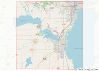
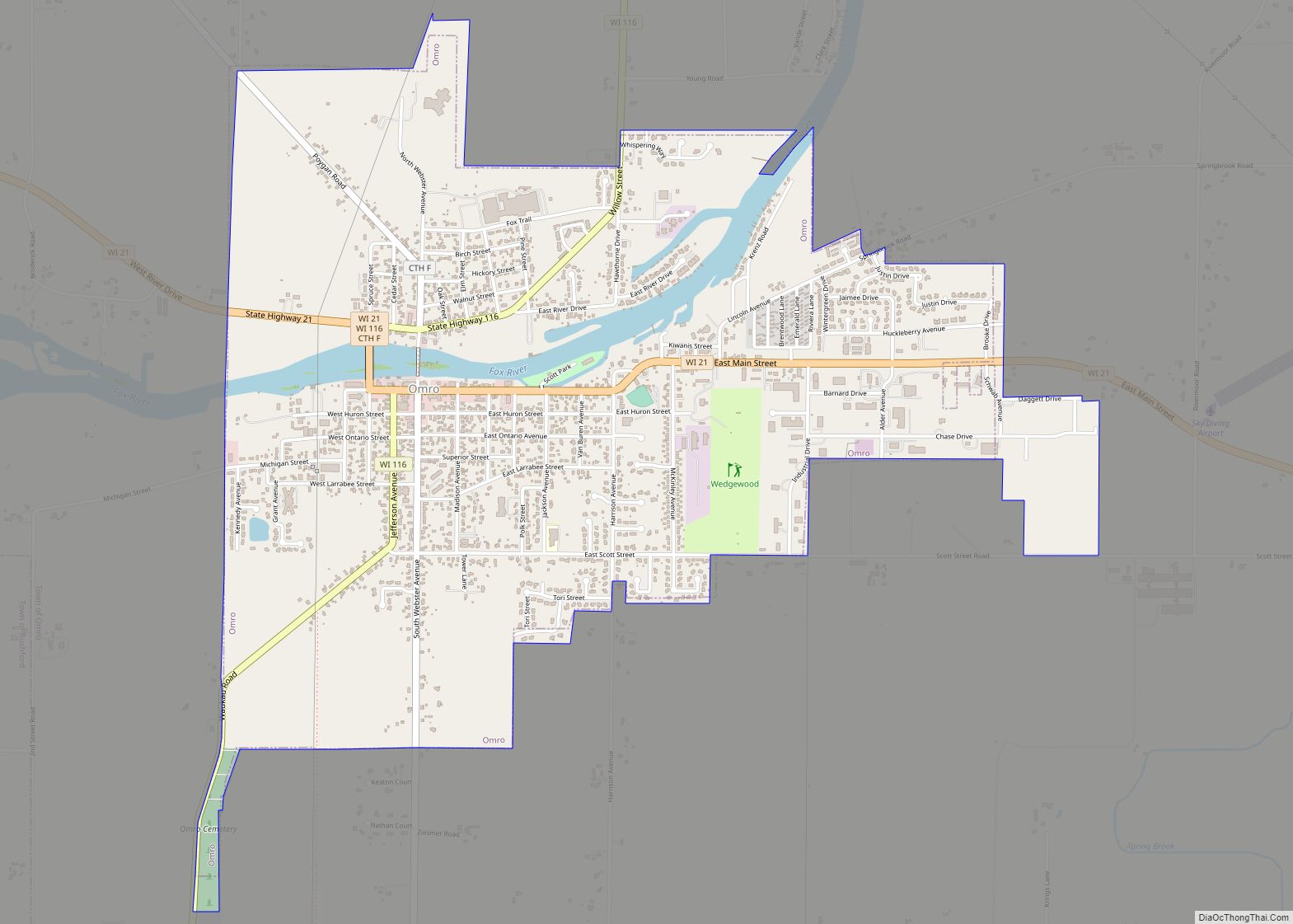
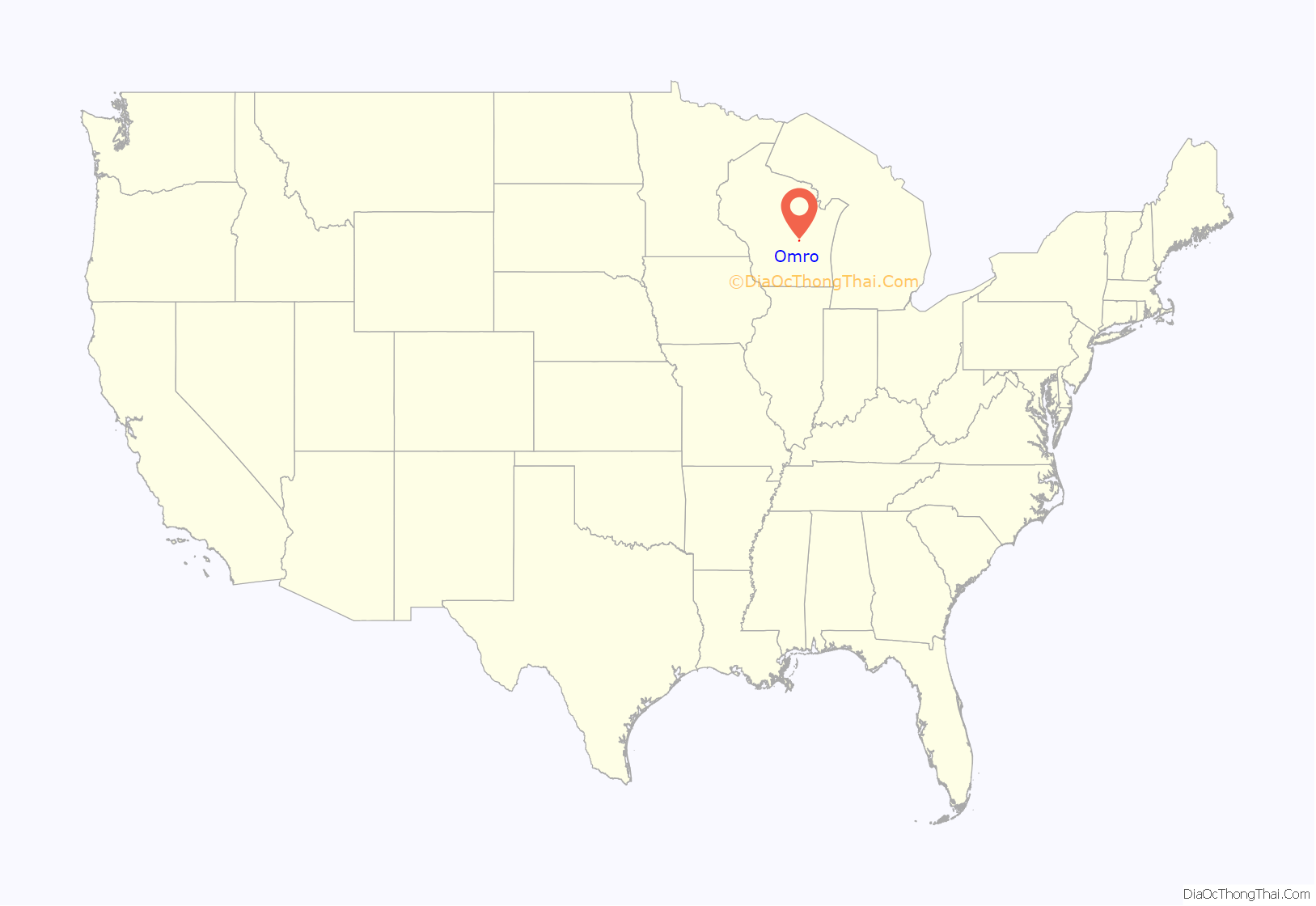
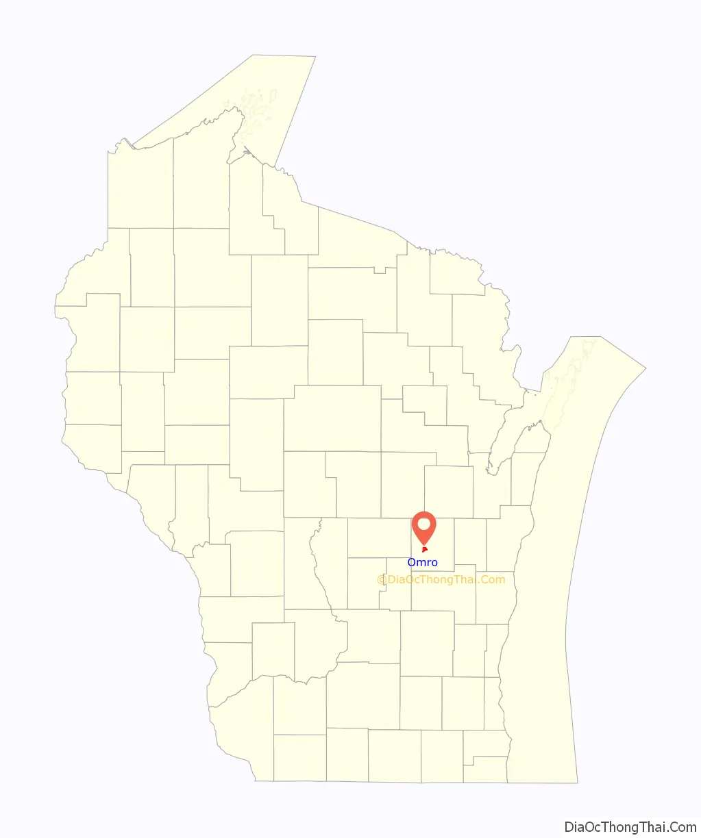
Omro location map. Where is Omro city?
History
1853 description
History of Omro
The area encompassing present day Omro was Winnebago Indian Territory when it was first visited by French explorers in 1639. Omro’s location gave it two advantages from the beginning, which were a position on one of the few natural transportation and communications routes of the time and an abundant amount of water for industrial use. The first modern settlers visited in 1847. There are at least three differing accounts of how the town was named. One widely held version is that it was named for Charles Amereau, a French trader and blacksmith who started a fur trading post there.
By 1880, Omro was a stop on the railroad line and was home to the county fairgrounds, several mills, a glass factory, carriage factories, several machine works, and had a population greater than 2,000. Eventually most of the manufacturers either relocated to nearby Oshkosh, or faded away. Since Omro began a revitalization process in 1986, it has seen growth. Several projects pay respects to Omro’s past, including a historical walking tour, the Scott park pavilion project, and the designation of a historic downtown district.
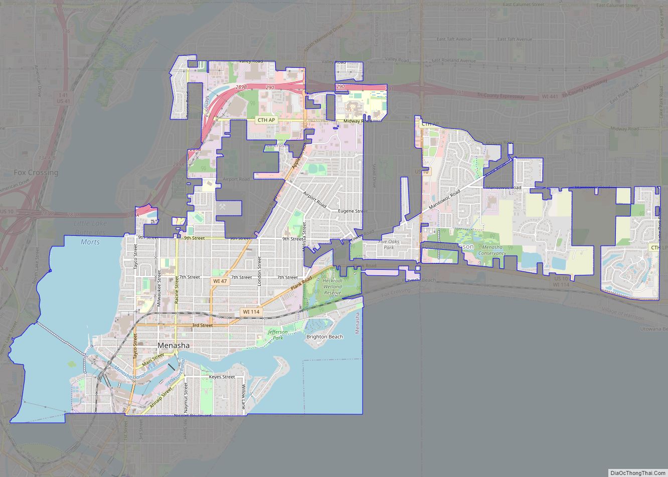
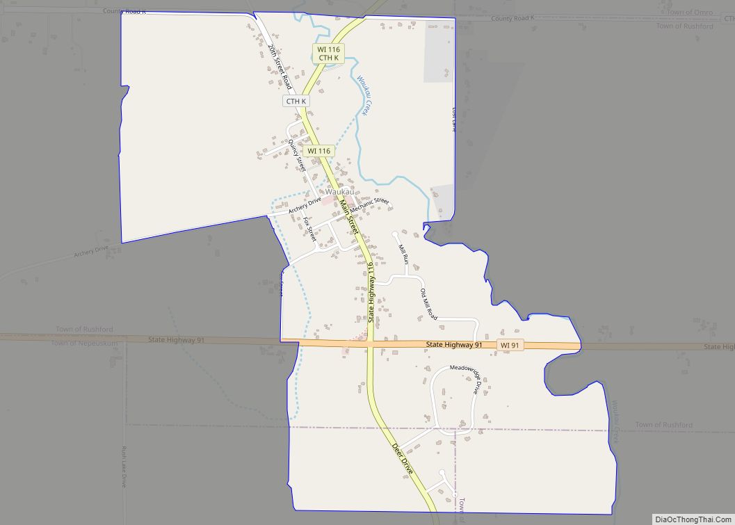
Omro Road Map
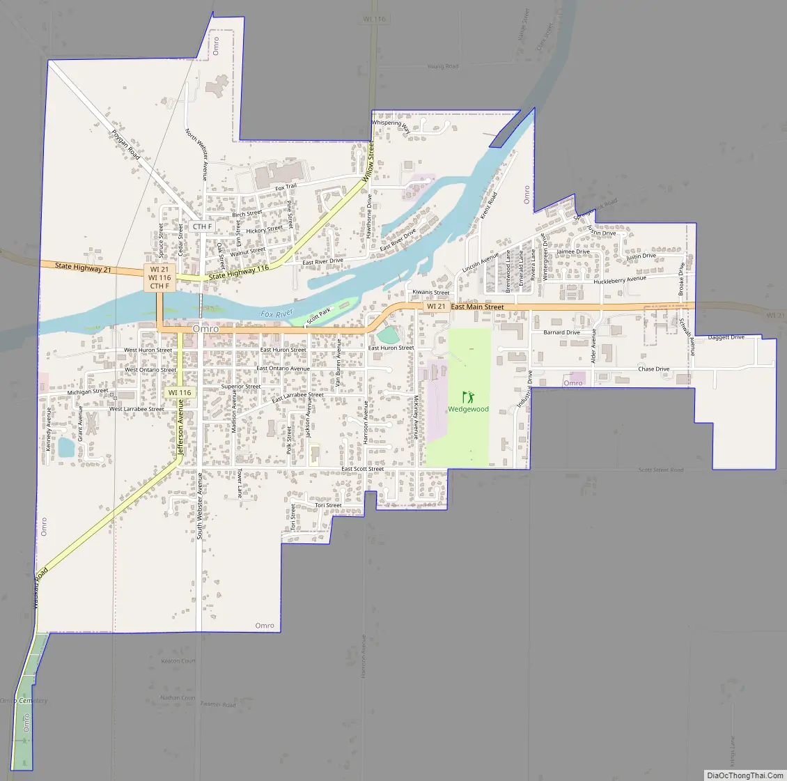
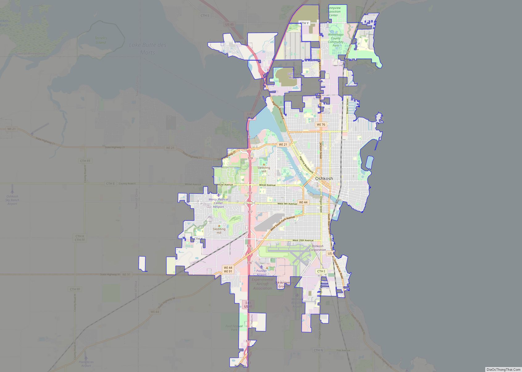
Omro city Satellite Map
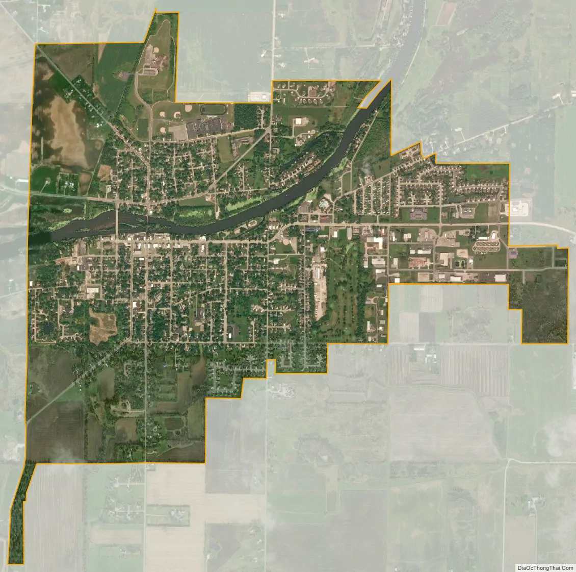
Geography
Omro is located at 44°2′20″N 88°44′24″W / 44.03889°N 88.74000°W / 44.03889; -88.74000 (44.038959, -88.74014).
According to the United States Census Bureau, the city has a total area of 2.52 square miles (6.53 km), of which, 2.35 square miles (6.09 km) is land and 0.17 square miles (0.44 km) is water.
See also
Map of Wisconsin State and its subdivision:- Adams
- Ashland
- Barron
- Bayfield
- Brown
- Buffalo
- Burnett
- Calumet
- Chippewa
- Clark
- Columbia
- Crawford
- Dane
- Dodge
- Door
- Douglas
- Dunn
- Eau Claire
- Florence
- Fond du Lac
- Forest
- Grant
- Green
- Green Lake
- Iowa
- Iron
- Jackson
- Jefferson
- Juneau
- Kenosha
- Kewaunee
- La Crosse
- Lafayette
- Lake Michigan
- Lake Superior
- Langlade
- Lincoln
- Manitowoc
- Marathon
- Marinette
- Marquette
- Menominee
- Milwaukee
- Monroe
- Oconto
- Oneida
- Outagamie
- Ozaukee
- Pepin
- Pierce
- Polk
- Portage
- Price
- Racine
- Richland
- Rock
- Rusk
- Saint Croix
- Sauk
- Sawyer
- Shawano
- Sheboygan
- Taylor
- Trempealeau
- Vernon
- Vilas
- Walworth
- Washburn
- Washington
- Waukesha
- Waupaca
- Waushara
- Winnebago
- Wood
- Alabama
- Alaska
- Arizona
- Arkansas
- California
- Colorado
- Connecticut
- Delaware
- District of Columbia
- Florida
- Georgia
- Hawaii
- Idaho
- Illinois
- Indiana
- Iowa
- Kansas
- Kentucky
- Louisiana
- Maine
- Maryland
- Massachusetts
- Michigan
- Minnesota
- Mississippi
- Missouri
- Montana
- Nebraska
- Nevada
- New Hampshire
- New Jersey
- New Mexico
- New York
- North Carolina
- North Dakota
- Ohio
- Oklahoma
- Oregon
- Pennsylvania
- Rhode Island
- South Carolina
- South Dakota
- Tennessee
- Texas
- Utah
- Vermont
- Virginia
- Washington
- West Virginia
- Wisconsin
- Wyoming