Reedsville is a village in Manitowoc County, Wisconsin, United States. The population was 1,195 at the 2020 census.
| Name: | Reedsville village |
|---|---|
| LSAD Code: | 47 |
| LSAD Description: | village (suffix) |
| State: | Wisconsin |
| County: | Manitowoc County |
| Elevation: | 827 ft (252 m) |
| Total Area: | 1.22 sq mi (3.16 km²) |
| Land Area: | 1.22 sq mi (3.15 km²) |
| Water Area: | 0.00 sq mi (0.01 km²) |
| Total Population: | 1,195 |
| Population Density: | 944.03/sq mi (364.60/km²) |
| ZIP code: | 54230 |
| Area code: | 920 |
| FIPS code: | 5566875 |
| GNISfeature ID: | 1572174 |
| Website: | www.reedsville.org |
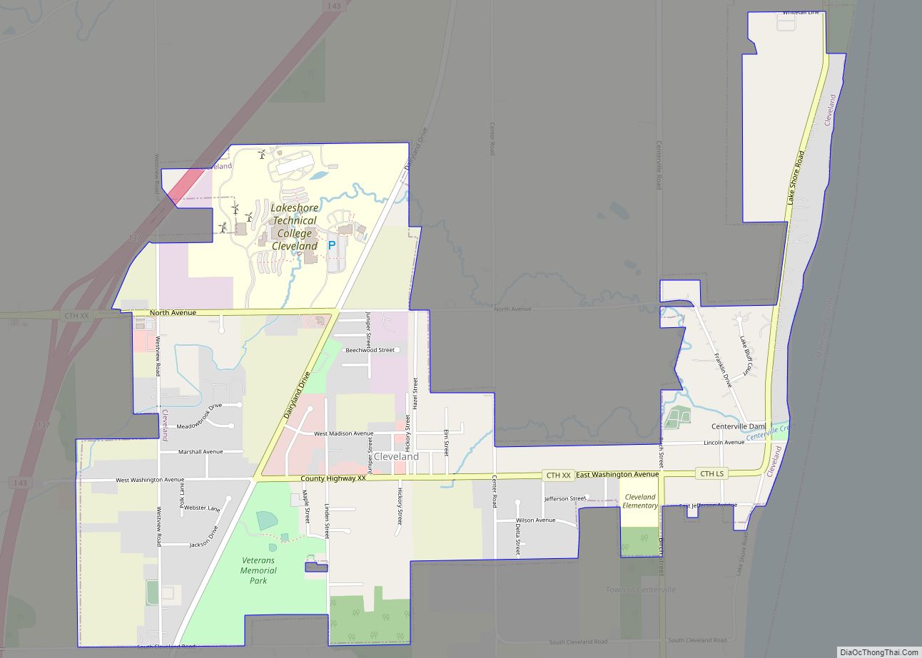
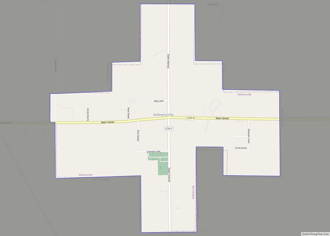
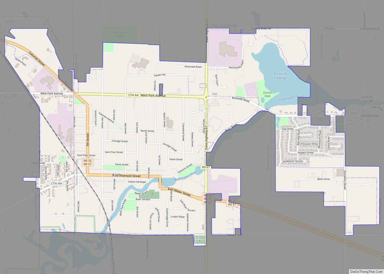
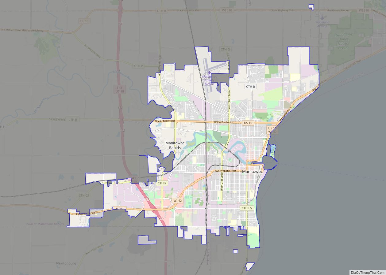
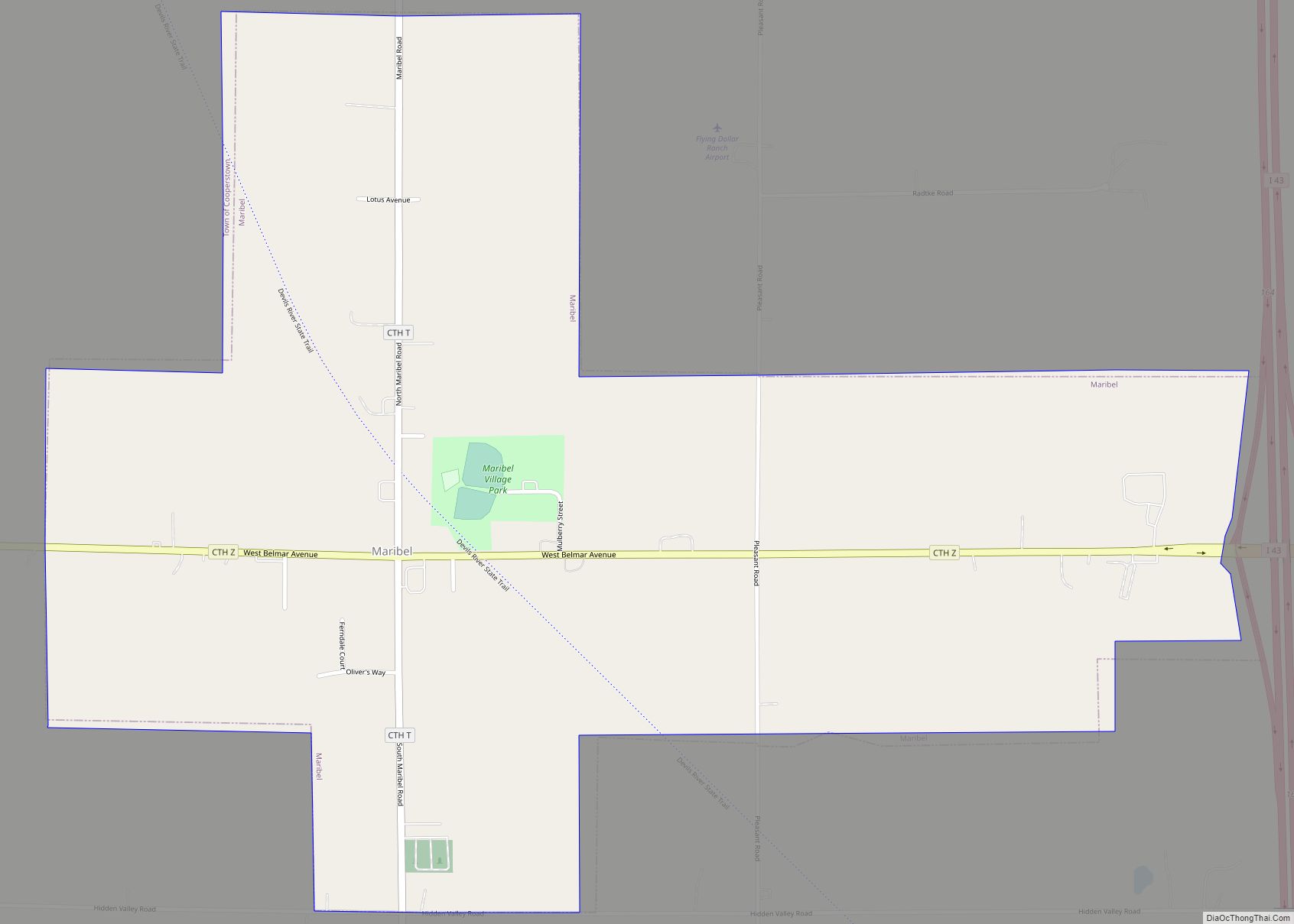
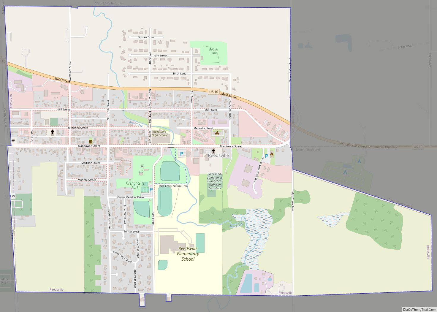
Online Interactive Map
Click on ![]() to view map in "full screen" mode.
to view map in "full screen" mode.
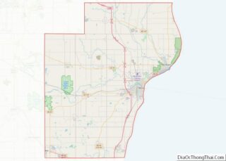
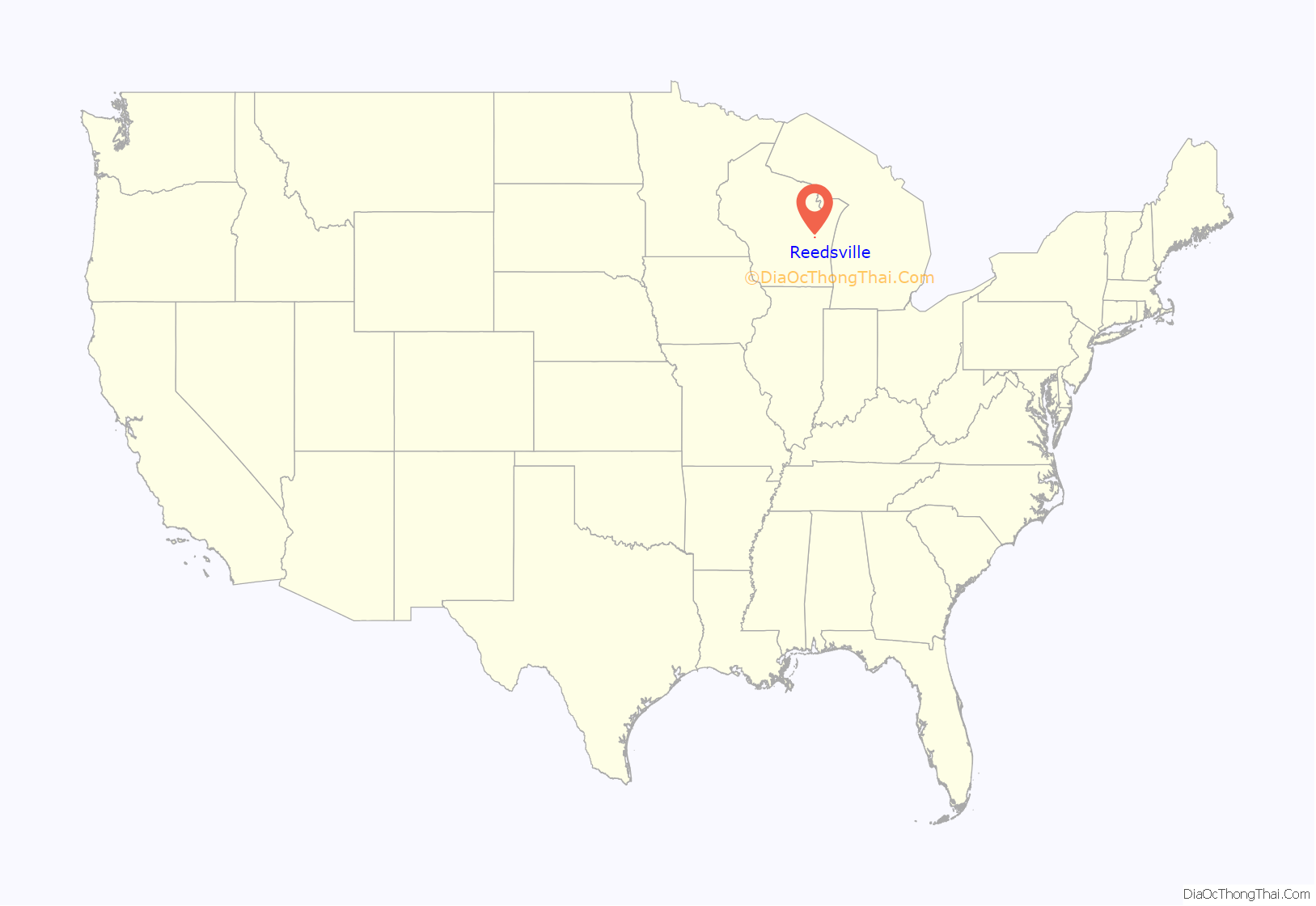
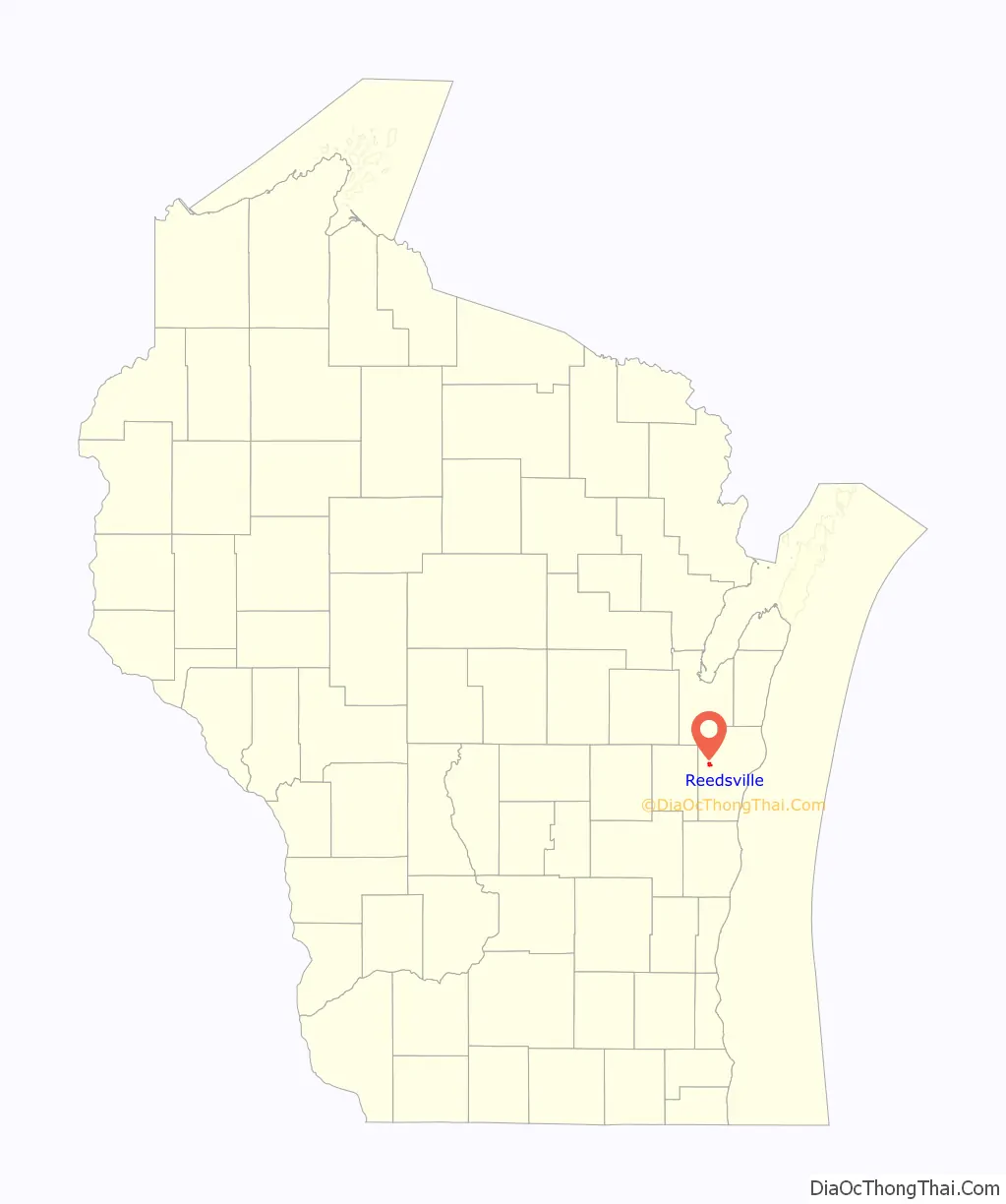
Reedsville location map. Where is Reedsville village?
History
The village was named after Judge George Reed, who, with his partner, Jacob Lueps, bought a section of land in the town of Maple Grove, Wisconsin. In 1854, they had the land platted and surveyed by George Wimpf, who laid out a village of 56 blocks. Early residents of the village were French Canadians and Menomonee Indians. Later, settlers from Germany, Bohemia, and Ireland came. The village was incorporated in 1892, when its population was 510.
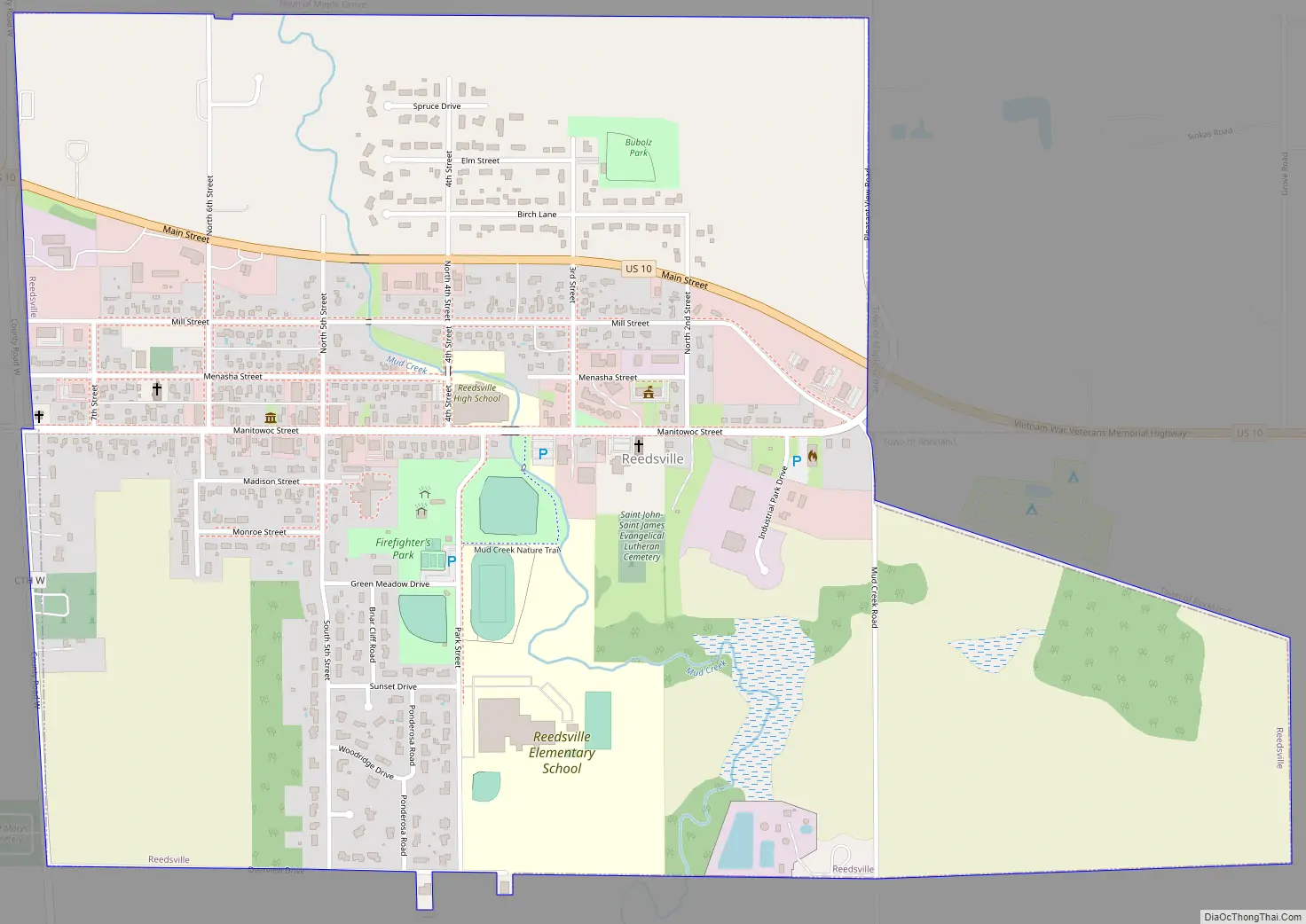
Reedsville Road Map
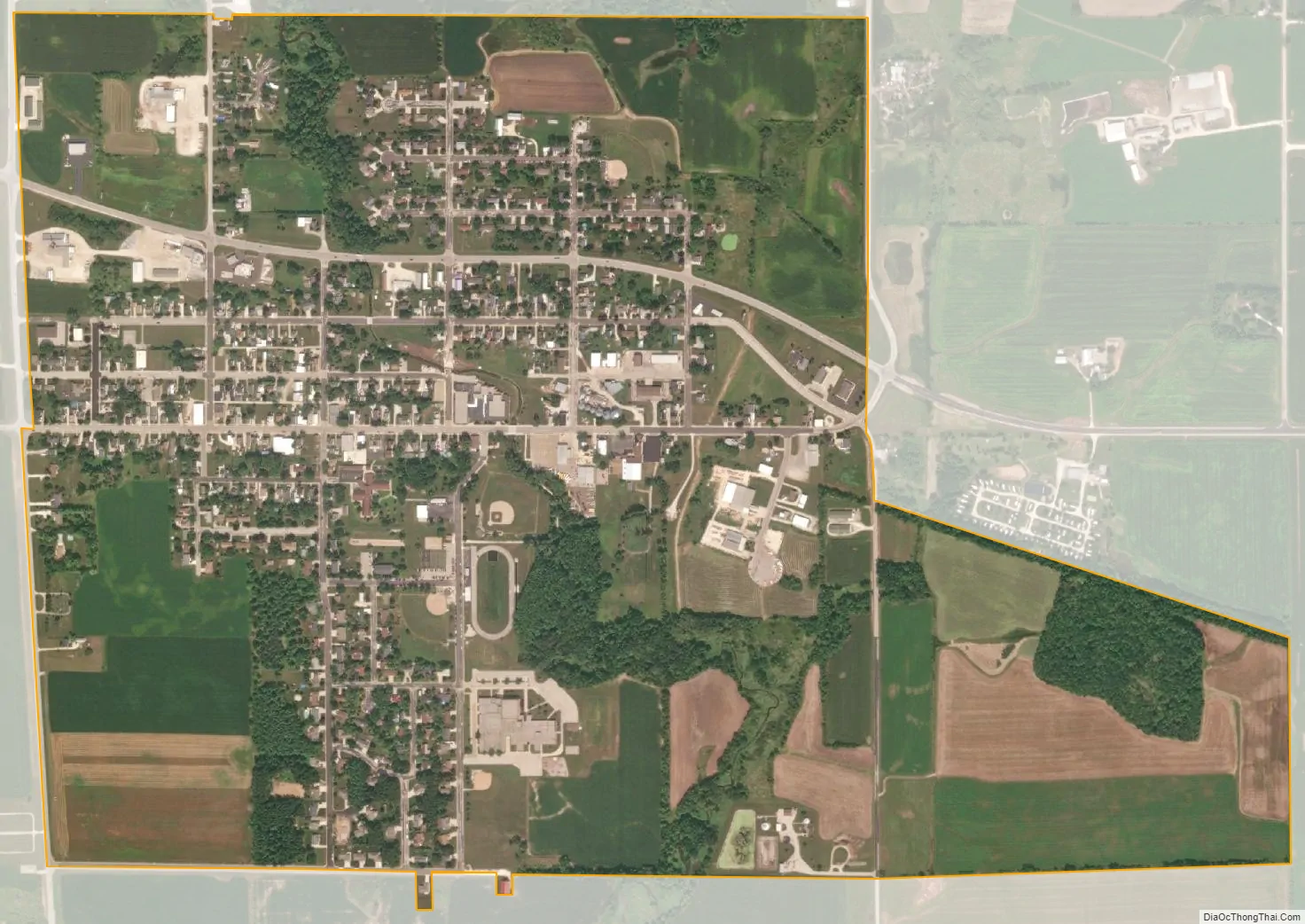
Reedsville city Satellite Map
Geography
Reedsville is located at 44°9′14″N 87°57′20″W / 44.15389°N 87.95556°W / 44.15389; -87.95556 (44.153756, -87.955595).
According to the United States Census Bureau, the village has a total area of 1.25 square miles (3.24 km), all of it land.
See also
Map of Wisconsin State and its subdivision:- Adams
- Ashland
- Barron
- Bayfield
- Brown
- Buffalo
- Burnett
- Calumet
- Chippewa
- Clark
- Columbia
- Crawford
- Dane
- Dodge
- Door
- Douglas
- Dunn
- Eau Claire
- Florence
- Fond du Lac
- Forest
- Grant
- Green
- Green Lake
- Iowa
- Iron
- Jackson
- Jefferson
- Juneau
- Kenosha
- Kewaunee
- La Crosse
- Lafayette
- Lake Michigan
- Lake Superior
- Langlade
- Lincoln
- Manitowoc
- Marathon
- Marinette
- Marquette
- Menominee
- Milwaukee
- Monroe
- Oconto
- Oneida
- Outagamie
- Ozaukee
- Pepin
- Pierce
- Polk
- Portage
- Price
- Racine
- Richland
- Rock
- Rusk
- Saint Croix
- Sauk
- Sawyer
- Shawano
- Sheboygan
- Taylor
- Trempealeau
- Vernon
- Vilas
- Walworth
- Washburn
- Washington
- Waukesha
- Waupaca
- Waushara
- Winnebago
- Wood
- Alabama
- Alaska
- Arizona
- Arkansas
- California
- Colorado
- Connecticut
- Delaware
- District of Columbia
- Florida
- Georgia
- Hawaii
- Idaho
- Illinois
- Indiana
- Iowa
- Kansas
- Kentucky
- Louisiana
- Maine
- Maryland
- Massachusetts
- Michigan
- Minnesota
- Mississippi
- Missouri
- Montana
- Nebraska
- Nevada
- New Hampshire
- New Jersey
- New Mexico
- New York
- North Carolina
- North Dakota
- Ohio
- Oklahoma
- Oregon
- Pennsylvania
- Rhode Island
- South Carolina
- South Dakota
- Tennessee
- Texas
- Utah
- Vermont
- Virginia
- Washington
- West Virginia
- Wisconsin
- Wyoming