Rochester is a village in Racine County, Wisconsin, United States. The population was 3,785 at the 2020 census. The village is located within the former Town of Rochester. On November 4, 2008, the village of Rochester voted to consolidate with the Town of Rochester.
| Name: | Rochester village |
|---|---|
| LSAD Code: | 47 |
| LSAD Description: | village (suffix) |
| State: | Wisconsin |
| County: | Racine County |
| Elevation: | 817 ft (249 m) |
| Total Area: | 17.65 sq mi (45.71 km²) |
| Land Area: | 17.42 sq mi (45.12 km²) |
| Water Area: | 0.23 sq mi (0.60 km²) |
| Total Population: | 3,785 |
| Population Density: | 222.00/sq mi (85.71/km²) |
| ZIP code: | 53167 |
| Area code: | 262 |
| FIPS code: | 5568550 |
| GNISfeature ID: | 1584047 |
| Website: | rochesterwi.us |
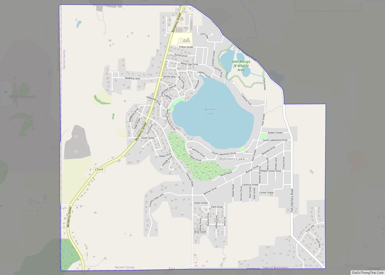
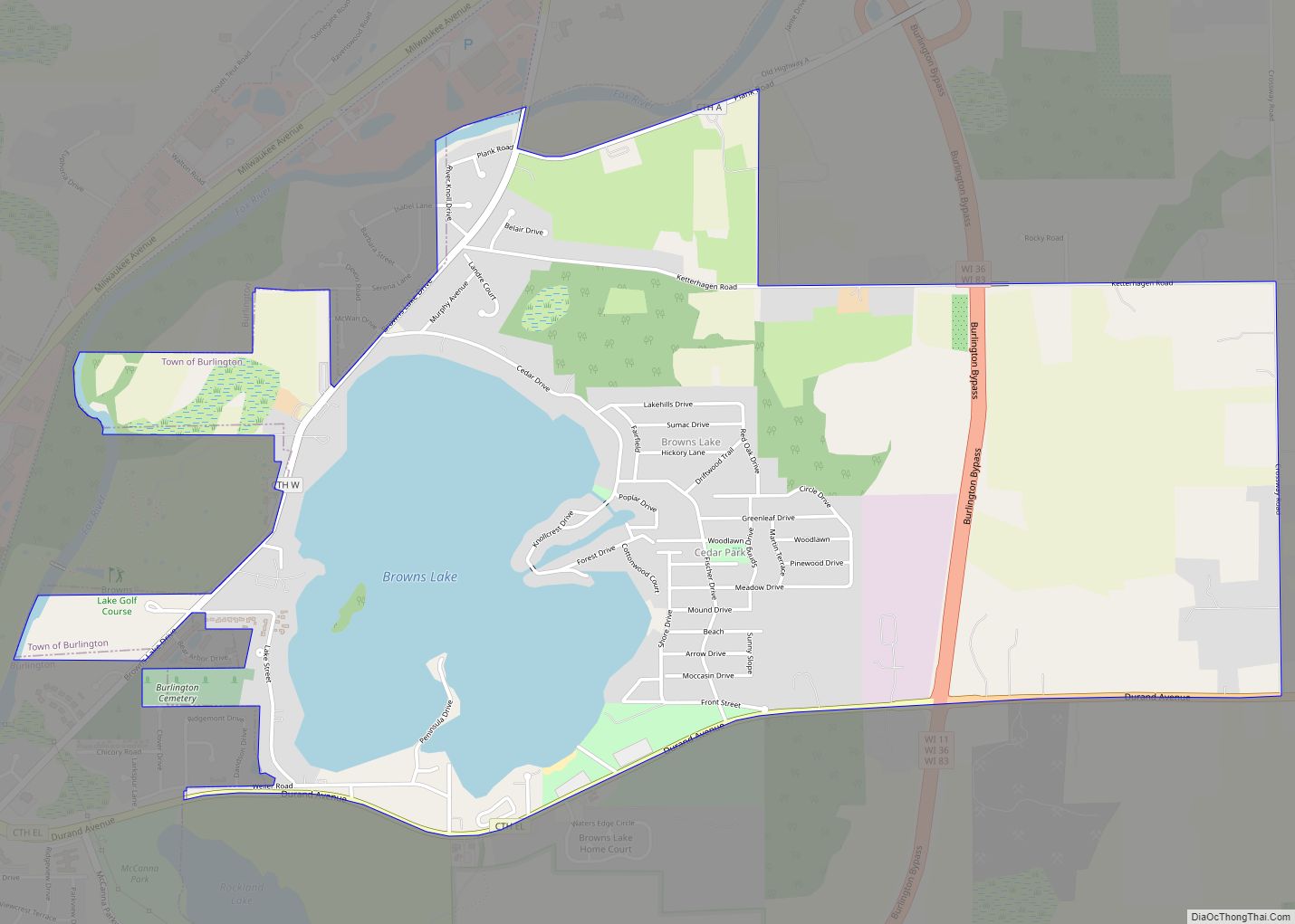
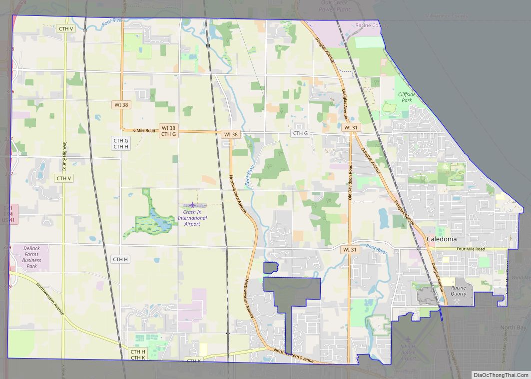
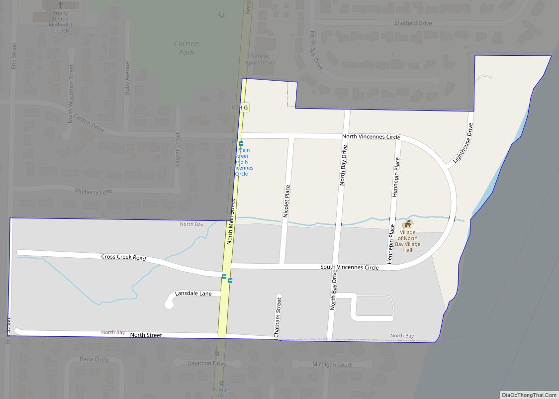
Online Interactive Map
Click on ![]() to view map in "full screen" mode.
to view map in "full screen" mode.
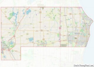
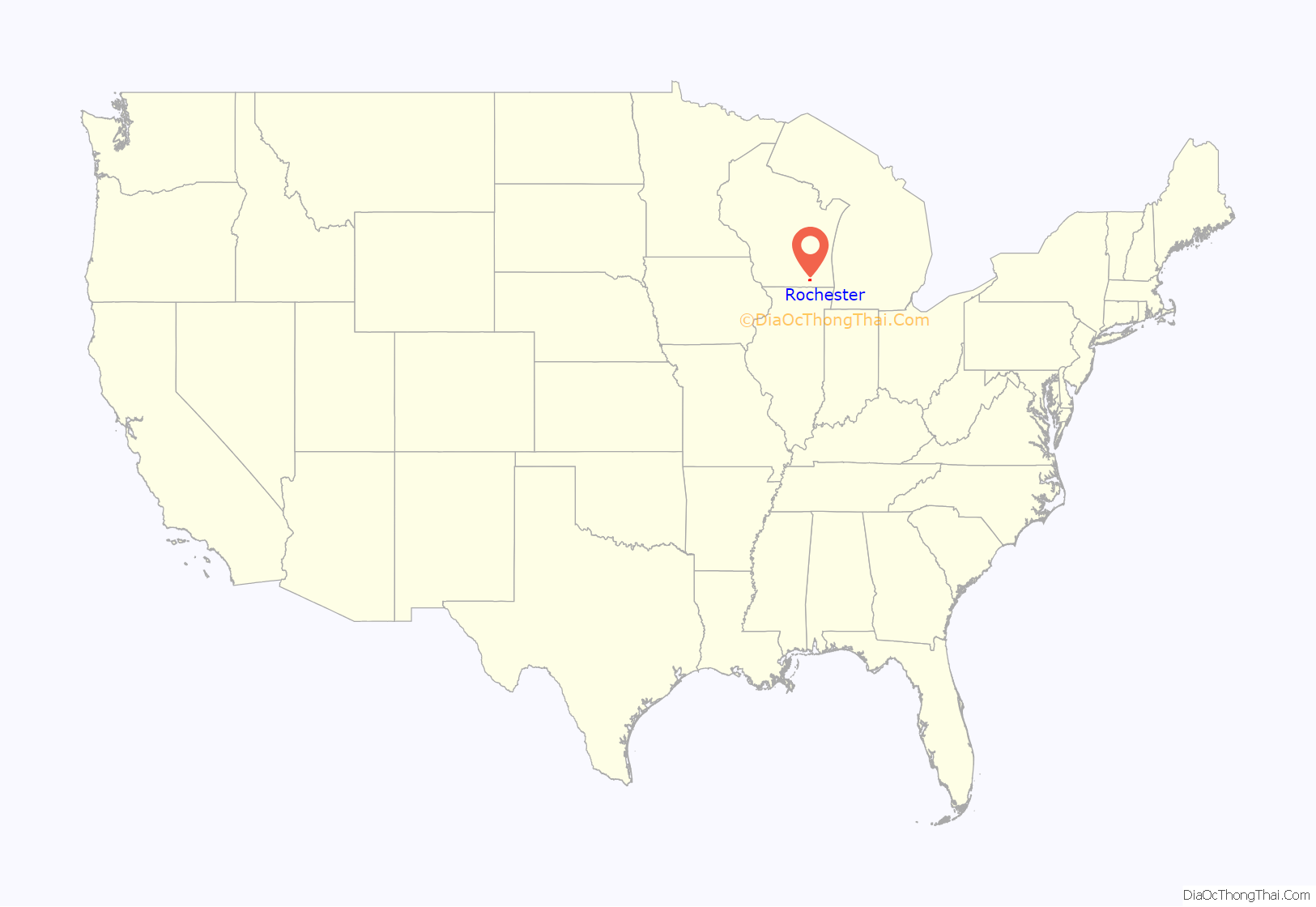
Rochester location map. Where is Rochester village?

History
The first non-Native American settlers in Rochester were a group of five farming families, who all hailed from the town of Rochester, Vermont after which they gave their new settlement its name. These were “Yankee” settlers, that is to say they were descended from the English Puritans who settled New England during the colonial era. Correspondingly they were members of the Congregationalist Church and were staunch abolitionists. When they arrived in what is now Rochester there was nothing but dense virgin forest and wild prairie. They laid out post routes, built roads, constructed farms and government buildings all within the first few months of settling in what is now Rochester. Due to the Second Great Awakening many of them had become Baptists or converted to either Presbyterianism or Methodism before coming to what is now Walworth County, Wisconsin. The old Union House hotel in the Village of Rochester was a part of the Underground Railroad. The trail started there, went under the Fox River, and ended at a house on the other side.
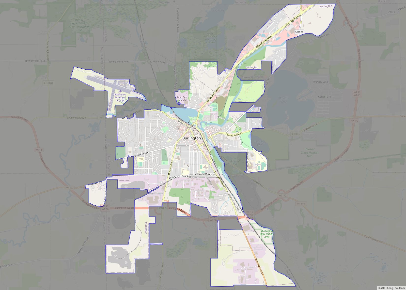
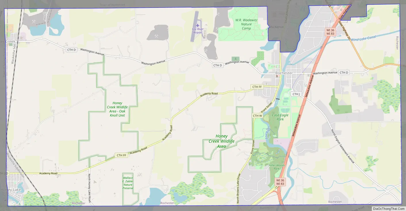
Rochester Road Map
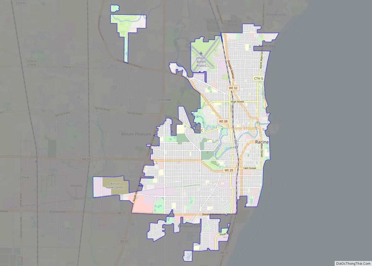
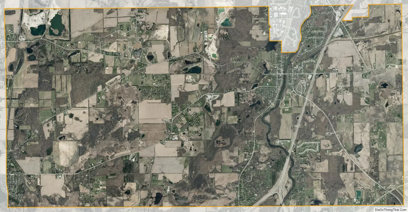
Rochester city Satellite Map
Geography
Rochester is located at 42°44′26″N 88°13′26″W / 42.74056°N 88.22389°W / 42.74056; -88.22389 (42.740585, -88.224108).
According to the United States Census Bureau, the village has a total area of 17.74 square miles (45.95 km), of which, 17.48 square miles (45.27 km) of it is land and 0.26 square miles (0.67 km) is water.
See also
Map of Wisconsin State and its subdivision:- Adams
- Ashland
- Barron
- Bayfield
- Brown
- Buffalo
- Burnett
- Calumet
- Chippewa
- Clark
- Columbia
- Crawford
- Dane
- Dodge
- Door
- Douglas
- Dunn
- Eau Claire
- Florence
- Fond du Lac
- Forest
- Grant
- Green
- Green Lake
- Iowa
- Iron
- Jackson
- Jefferson
- Juneau
- Kenosha
- Kewaunee
- La Crosse
- Lafayette
- Lake Michigan
- Lake Superior
- Langlade
- Lincoln
- Manitowoc
- Marathon
- Marinette
- Marquette
- Menominee
- Milwaukee
- Monroe
- Oconto
- Oneida
- Outagamie
- Ozaukee
- Pepin
- Pierce
- Polk
- Portage
- Price
- Racine
- Richland
- Rock
- Rusk
- Saint Croix
- Sauk
- Sawyer
- Shawano
- Sheboygan
- Taylor
- Trempealeau
- Vernon
- Vilas
- Walworth
- Washburn
- Washington
- Waukesha
- Waupaca
- Waushara
- Winnebago
- Wood
- Alabama
- Alaska
- Arizona
- Arkansas
- California
- Colorado
- Connecticut
- Delaware
- District of Columbia
- Florida
- Georgia
- Hawaii
- Idaho
- Illinois
- Indiana
- Iowa
- Kansas
- Kentucky
- Louisiana
- Maine
- Maryland
- Massachusetts
- Michigan
- Minnesota
- Mississippi
- Missouri
- Montana
- Nebraska
- Nevada
- New Hampshire
- New Jersey
- New Mexico
- New York
- North Carolina
- North Dakota
- Ohio
- Oklahoma
- Oregon
- Pennsylvania
- Rhode Island
- South Carolina
- South Dakota
- Tennessee
- Texas
- Utah
- Vermont
- Virginia
- Washington
- West Virginia
- Wisconsin
- Wyoming