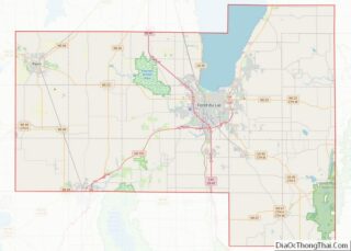
St. Peter, Wisconsin is an unincorporated census-designated place in the Town of Taycheedah in Fond du Lac County, Wisconsin. It is located approximately 2 miles (3.2 km) northeast of Peebles and 1 mile (1.6 km) south of Silica. It was located on Wisconsin Highway 149 before the highway was decommissioned and turned over to county control as County Highway WH. As of the 2010 census, its population is 1,489.
| Name: | St. Peter CDP |
|---|---|
| LSAD Code: | 57 |
| LSAD Description: | CDP (suffix) |
| State: | Wisconsin |
| County: | Fond du Lac County |
| Elevation: | 324 m (1,063 ft) |
| Total Area: | 9.41 km² (3.633 sq mi) |
| Land Area: | 9.40 km² (3.628 sq mi) |
| Water Area: | 0.01 km² (0.005 sq mi) |
| Total Population: | 1,489 |
| Population Density: | 160/km² (410/sq mi) |
| ZIP code: | 53049, 54937 |
| Area code: | 920 |
| FIPS code: | 5571050 |
| GNISfeature ID: | 1573503 |
Online Interactive Map
Click on ![]() to view map in "full screen" mode.
to view map in "full screen" mode.
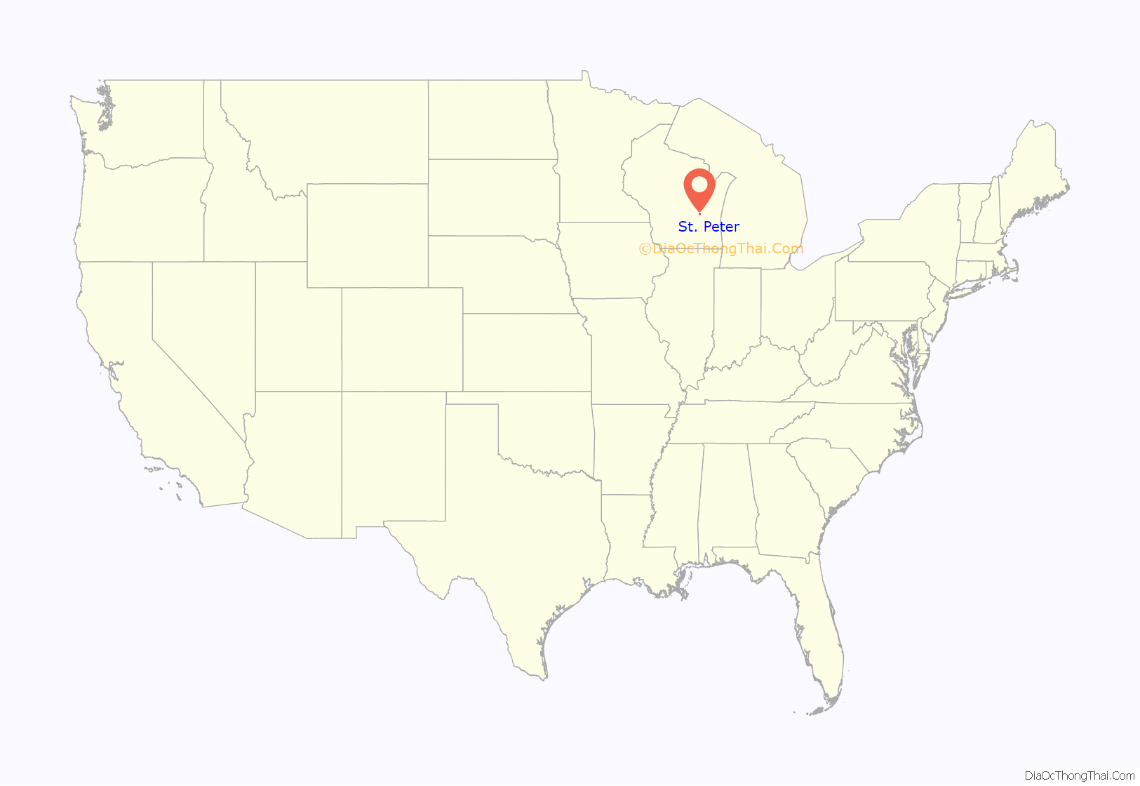
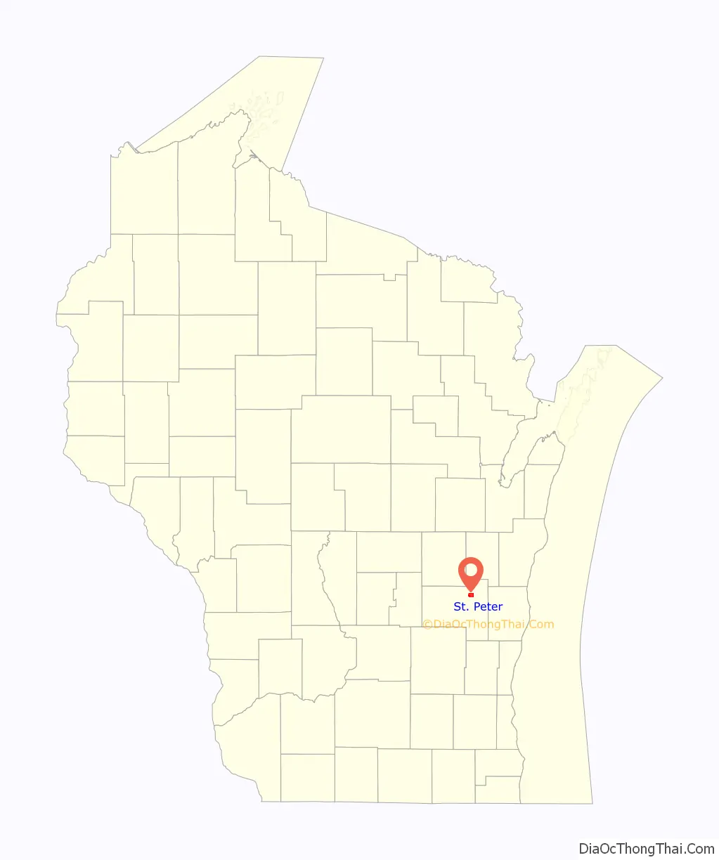
St. Peter location map. Where is St. Peter CDP?
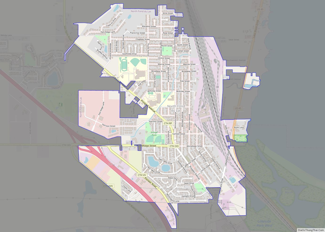
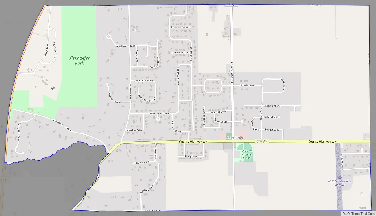
St. Peter Road Map
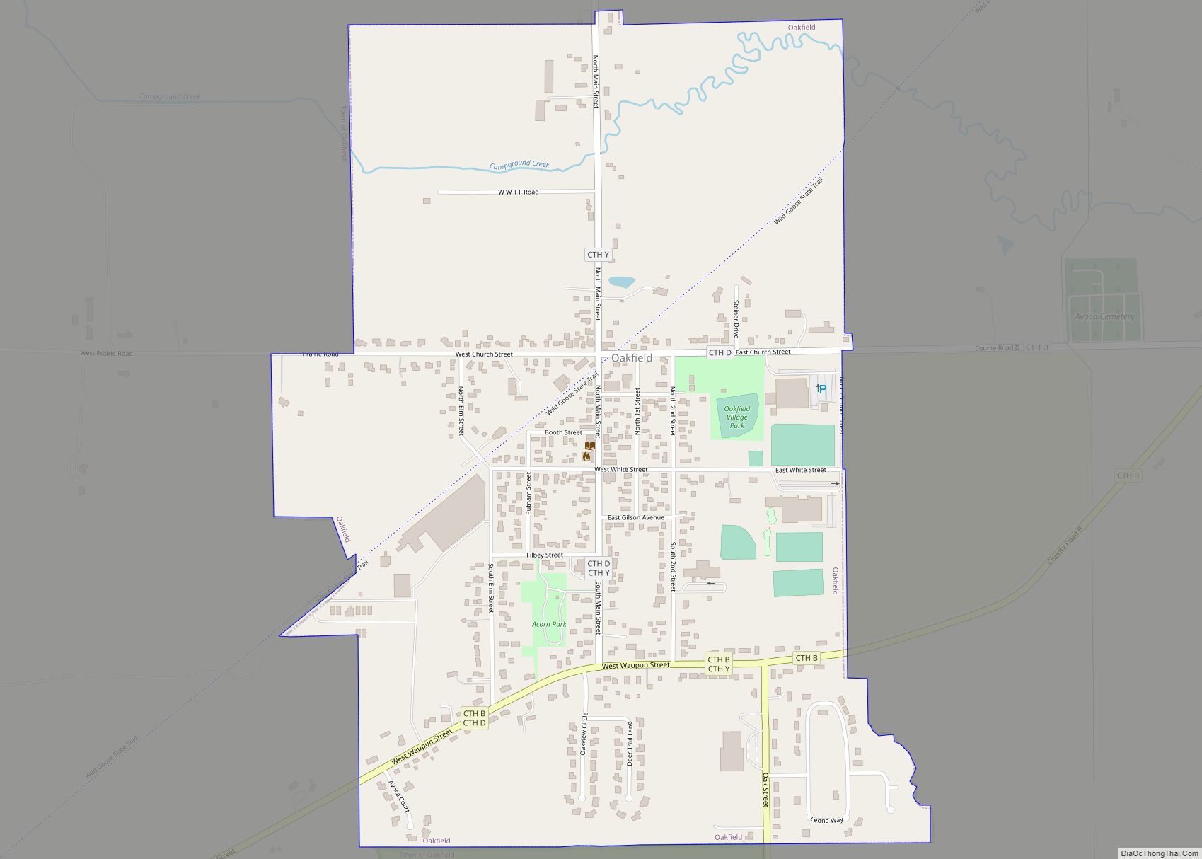
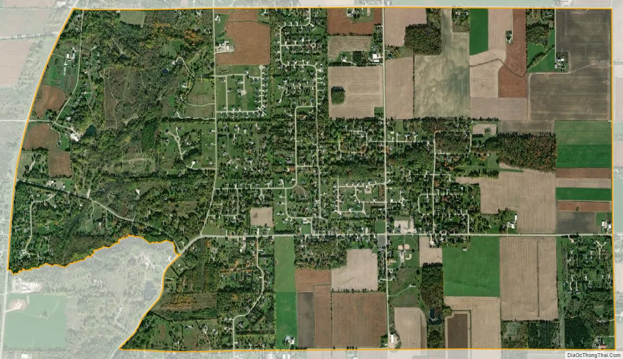
St. Peter city Satellite Map
See also
Map of Wisconsin State and its subdivision:- Adams
- Ashland
- Barron
- Bayfield
- Brown
- Buffalo
- Burnett
- Calumet
- Chippewa
- Clark
- Columbia
- Crawford
- Dane
- Dodge
- Door
- Douglas
- Dunn
- Eau Claire
- Florence
- Fond du Lac
- Forest
- Grant
- Green
- Green Lake
- Iowa
- Iron
- Jackson
- Jefferson
- Juneau
- Kenosha
- Kewaunee
- La Crosse
- Lafayette
- Lake Michigan
- Lake Superior
- Langlade
- Lincoln
- Manitowoc
- Marathon
- Marinette
- Marquette
- Menominee
- Milwaukee
- Monroe
- Oconto
- Oneida
- Outagamie
- Ozaukee
- Pepin
- Pierce
- Polk
- Portage
- Price
- Racine
- Richland
- Rock
- Rusk
- Saint Croix
- Sauk
- Sawyer
- Shawano
- Sheboygan
- Taylor
- Trempealeau
- Vernon
- Vilas
- Walworth
- Washburn
- Washington
- Waukesha
- Waupaca
- Waushara
- Winnebago
- Wood
- Alabama
- Alaska
- Arizona
- Arkansas
- California
- Colorado
- Connecticut
- Delaware
- District of Columbia
- Florida
- Georgia
- Hawaii
- Idaho
- Illinois
- Indiana
- Iowa
- Kansas
- Kentucky
- Louisiana
- Maine
- Maryland
- Massachusetts
- Michigan
- Minnesota
- Mississippi
- Missouri
- Montana
- Nebraska
- Nevada
- New Hampshire
- New Jersey
- New Mexico
- New York
- North Carolina
- North Dakota
- Ohio
- Oklahoma
- Oregon
- Pennsylvania
- Rhode Island
- South Carolina
- South Dakota
- Tennessee
- Texas
- Utah
- Vermont
- Virginia
- Washington
- West Virginia
- Wisconsin
- Wyoming