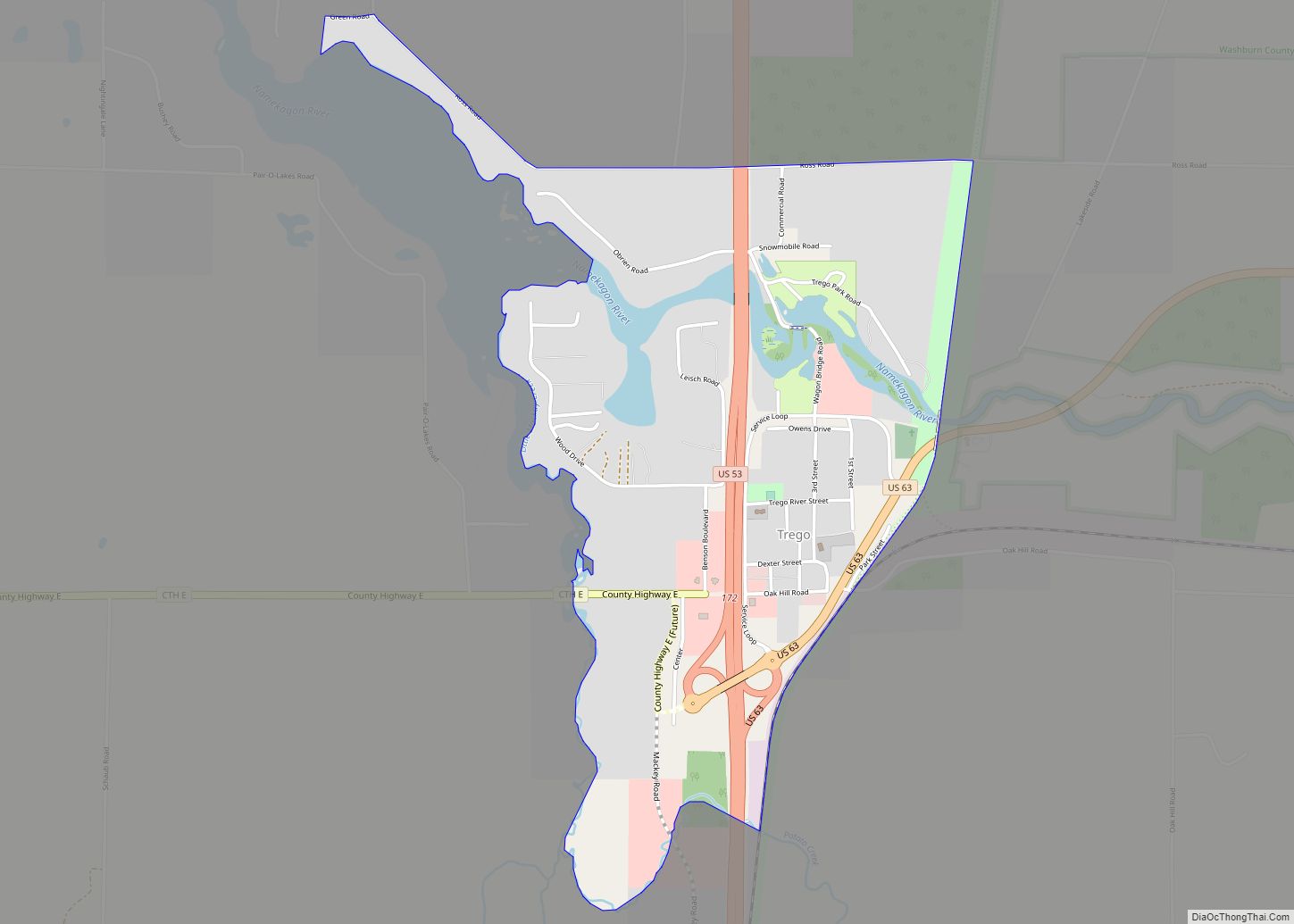
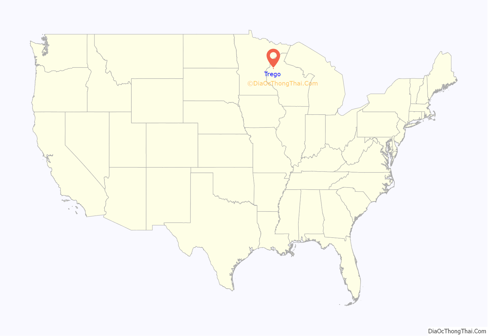
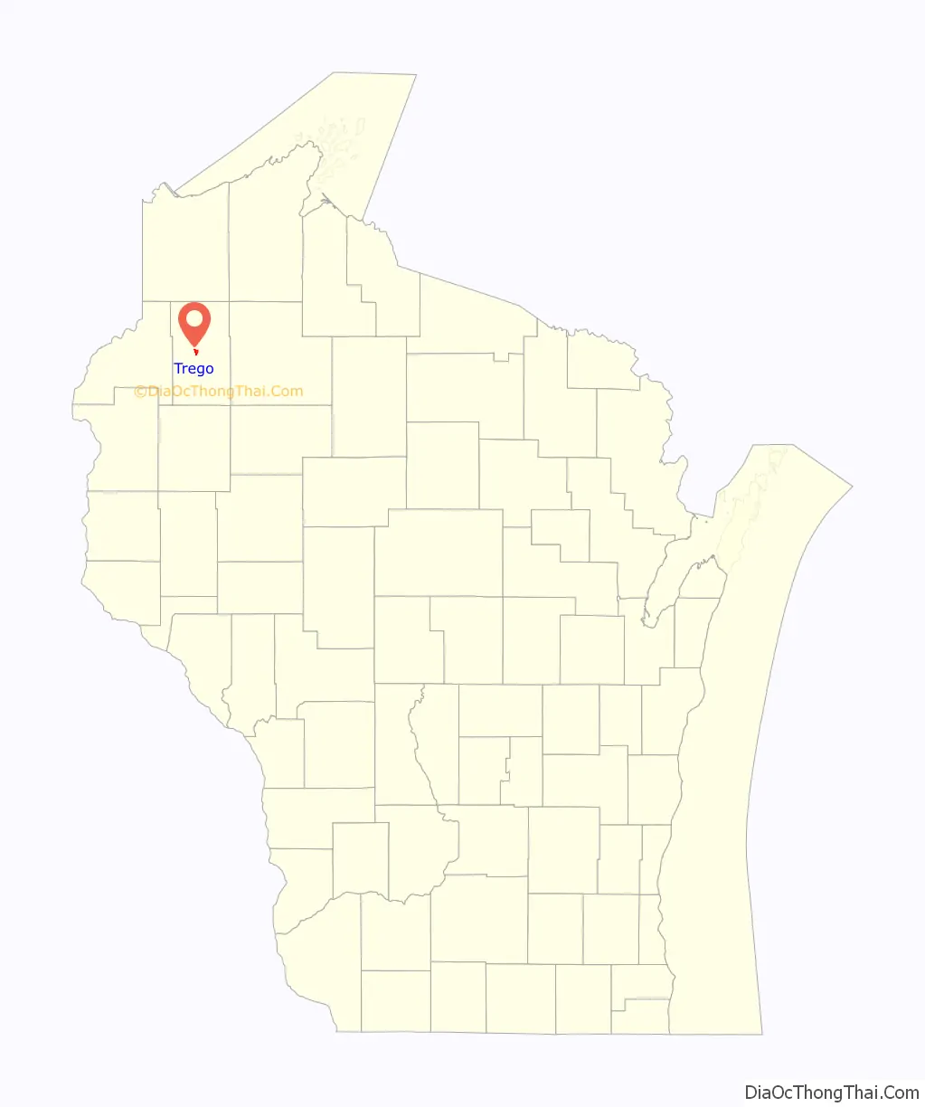
Trego (also Mills, Superior Junction) is an unincorporated census-designated place located in the town of Trego, Washburn County, Wisconsin, United States.
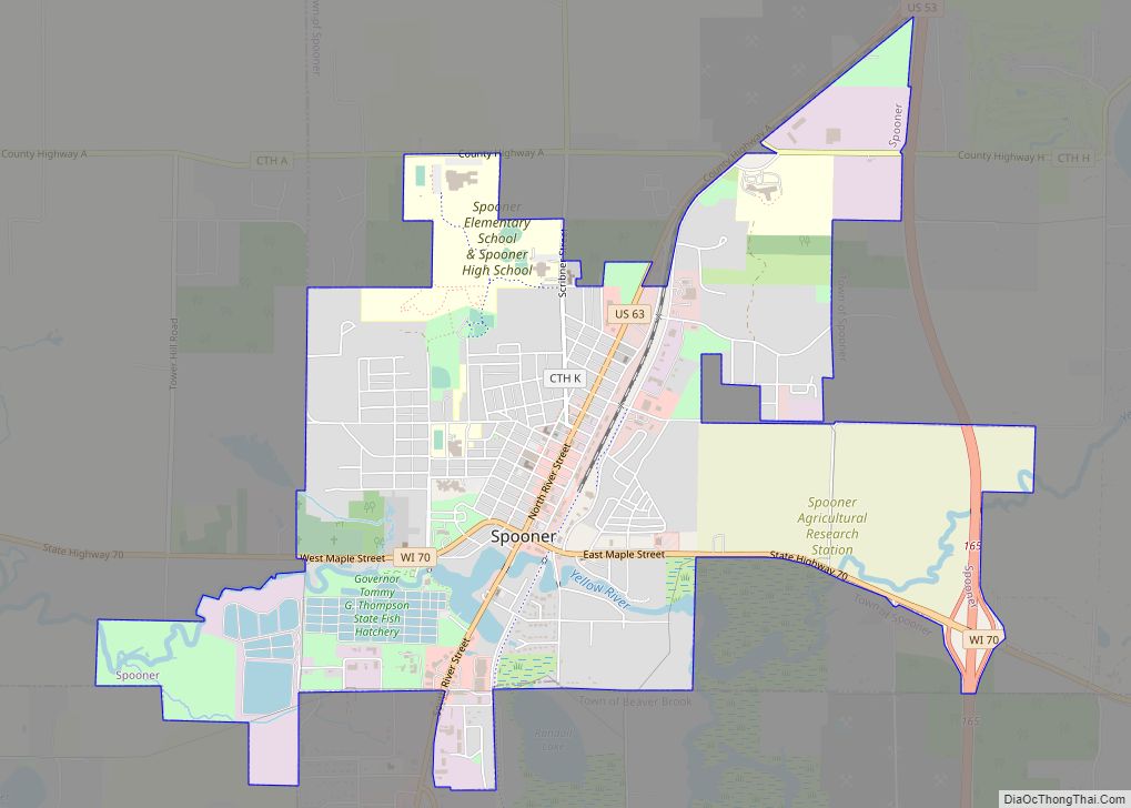
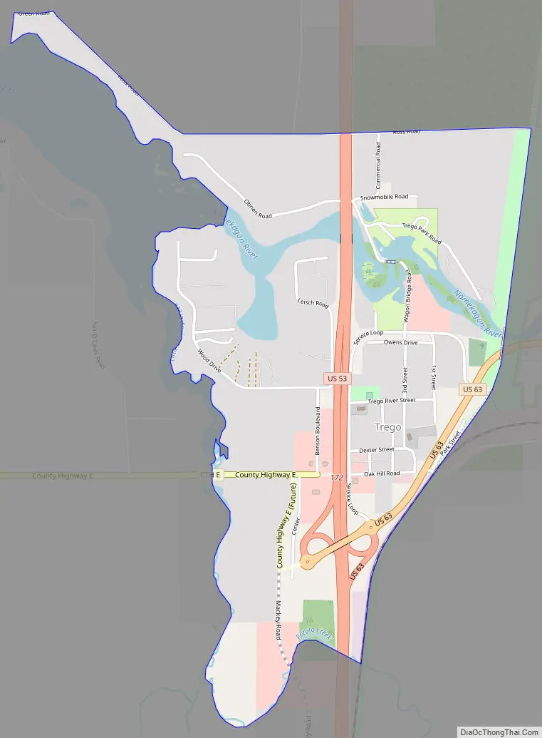
Trego is located at the junction of U.S. Highway 53 and U.S. Highway 63, 6 miles (9.7 km) north-northeast of Spooner.
Trego has a post office with ZIP code 54888. As of the 2010 census, its population is 227.
| Name: | Trego CDP |
|---|---|
| LSAD Code: | 57 |
| LSAD Description: | CDP (suffix) |
| State: | Wisconsin |
| County: | Washburn County |
| Elevation: | 1,099 ft (335 m) |
| Total Area: | 1.222 sq mi (3.16 km²) |
| Land Area: | 1.145 sq mi (2.97 km²) |
| Water Area: | 0.077 sq mi (0.20 km²) |
| Total Population: | 227 |
| Population Density: | 190/sq mi (72/km²) |
| ZIP code: | 54888 |
| Area code: | 715 and 534 |
| FIPS code: | 5580425 |
| GNISfeature ID: | 1575585 |
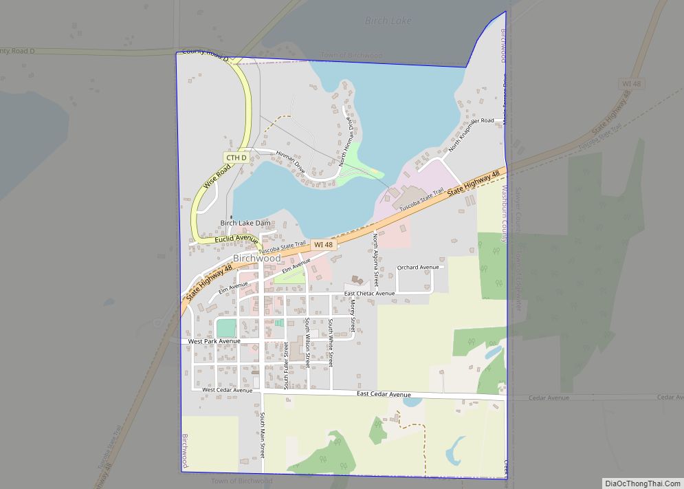
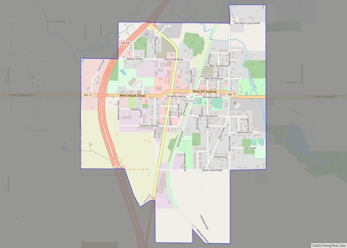
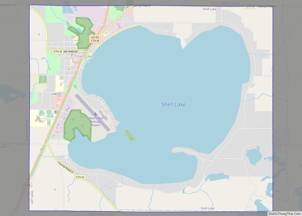
Online Interactive Map
Click on ![]() to view map in "full screen" mode.
to view map in "full screen" mode.
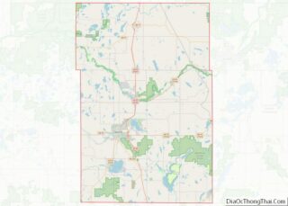
Trego location map. Where is Trego CDP?
History
Trego, supposedly meaning “three ways”, was so named from its location at a rail junction.
Trego Road Map
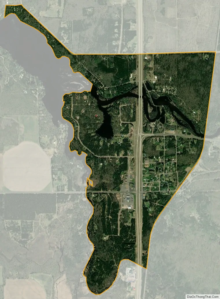
Trego city Satellite Map
See also
Map of Wisconsin State and its subdivision:- Adams
- Ashland
- Barron
- Bayfield
- Brown
- Buffalo
- Burnett
- Calumet
- Chippewa
- Clark
- Columbia
- Crawford
- Dane
- Dodge
- Door
- Douglas
- Dunn
- Eau Claire
- Florence
- Fond du Lac
- Forest
- Grant
- Green
- Green Lake
- Iowa
- Iron
- Jackson
- Jefferson
- Juneau
- Kenosha
- Kewaunee
- La Crosse
- Lafayette
- Lake Michigan
- Lake Superior
- Langlade
- Lincoln
- Manitowoc
- Marathon
- Marinette
- Marquette
- Menominee
- Milwaukee
- Monroe
- Oconto
- Oneida
- Outagamie
- Ozaukee
- Pepin
- Pierce
- Polk
- Portage
- Price
- Racine
- Richland
- Rock
- Rusk
- Saint Croix
- Sauk
- Sawyer
- Shawano
- Sheboygan
- Taylor
- Trempealeau
- Vernon
- Vilas
- Walworth
- Washburn
- Washington
- Waukesha
- Waupaca
- Waushara
- Winnebago
- Wood
- Alabama
- Alaska
- Arizona
- Arkansas
- California
- Colorado
- Connecticut
- Delaware
- District of Columbia
- Florida
- Georgia
- Hawaii
- Idaho
- Illinois
- Indiana
- Iowa
- Kansas
- Kentucky
- Louisiana
- Maine
- Maryland
- Massachusetts
- Michigan
- Minnesota
- Mississippi
- Missouri
- Montana
- Nebraska
- Nevada
- New Hampshire
- New Jersey
- New Mexico
- New York
- North Carolina
- North Dakota
- Ohio
- Oklahoma
- Oregon
- Pennsylvania
- Rhode Island
- South Carolina
- South Dakota
- Tennessee
- Texas
- Utah
- Vermont
- Virginia
- Washington
- West Virginia
- Wisconsin
- Wyoming