Trempealeau is a village located along the Mississippi River in Trempealeau County in the U.S. state of Wisconsin. The population was 1,843 at the 2020 census. The village is surrounded by the Town of Trempealeau.
| Name: | Trempealeau village |
|---|---|
| LSAD Code: | 47 |
| LSAD Description: | village (suffix) |
| State: | Wisconsin |
| County: | Trempealeau County |
| Elevation: | 738 ft (225 m) |
| Total Area: | 2.25 sq mi (5.84 km²) |
| Land Area: | 1.99 sq mi (5.14 km²) |
| Water Area: | 0.27 sq mi (0.70 km²) |
| Total Population: | 1,843 |
| Population Density: | 928.5/sq mi (358.6/km²) |
| Area code: | 608 |
| FIPS code: | 5580475 |
| GNISfeature ID: | 1575590 |
| Website: | www.trempealeauwi.com |
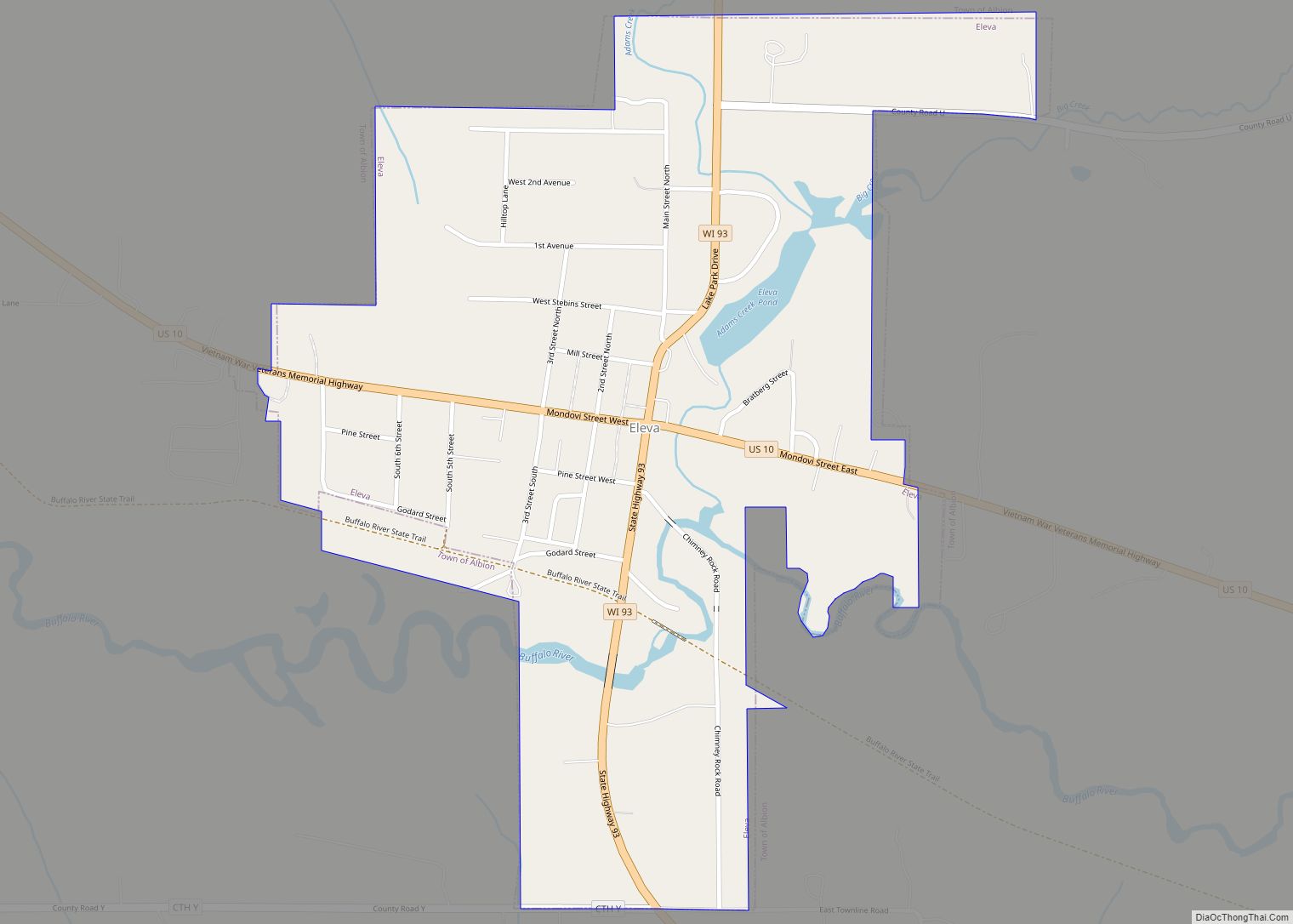
Online Interactive Map
Click on ![]() to view map in "full screen" mode.
to view map in "full screen" mode.
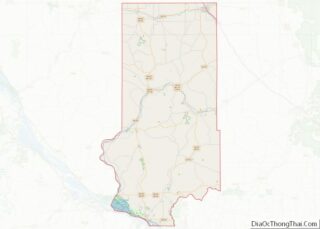
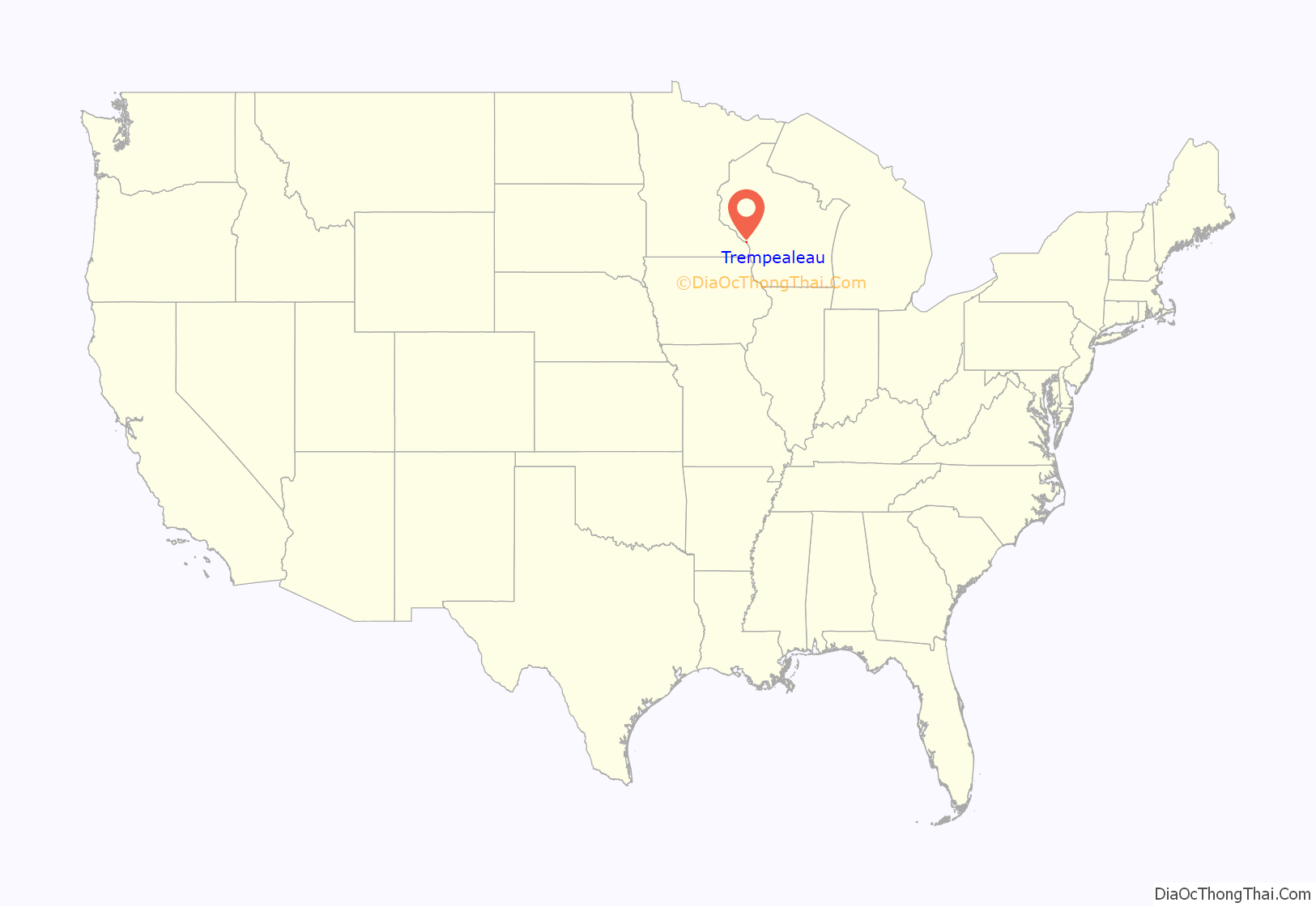
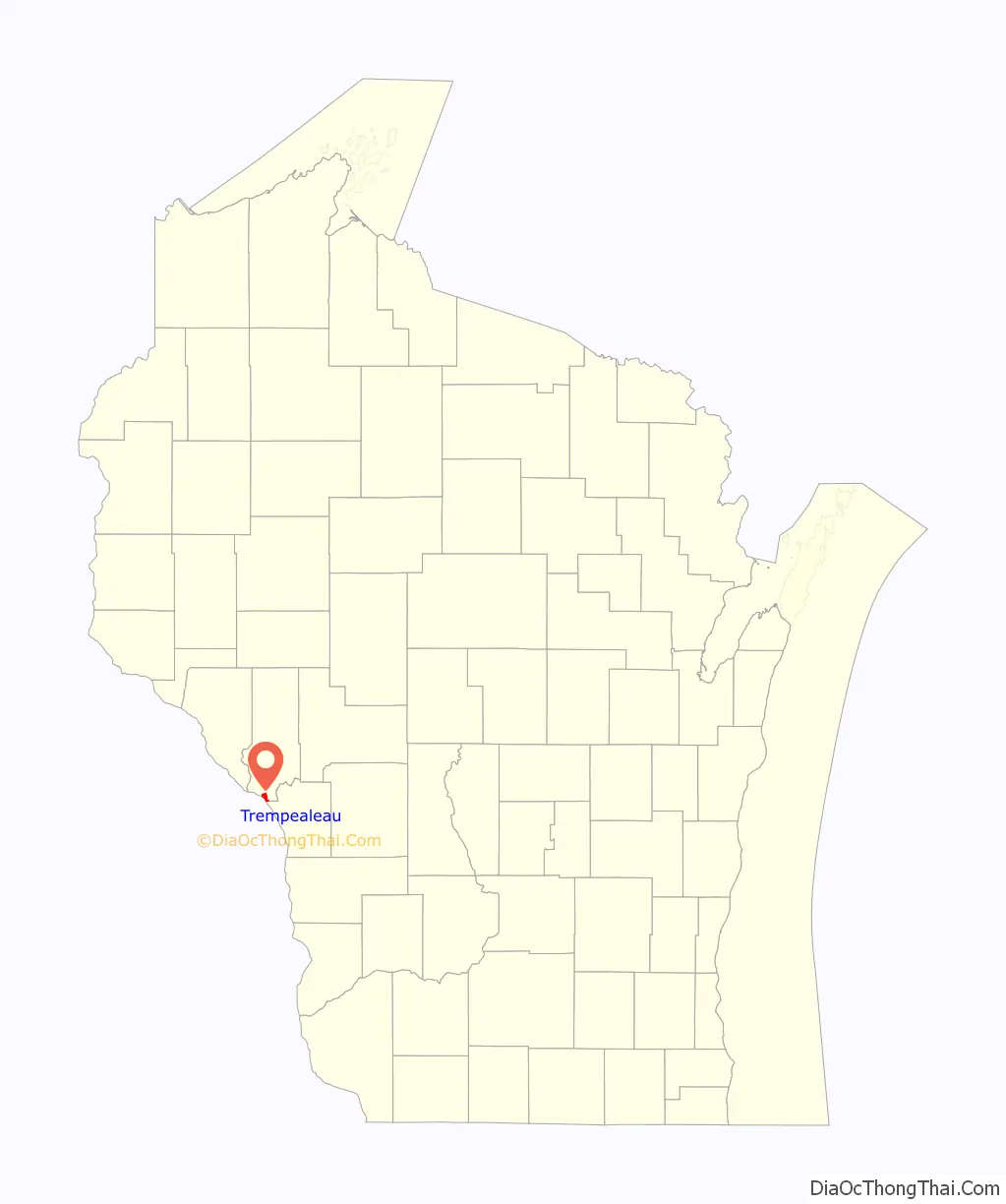
Trempealeau location map. Where is Trempealeau village?
History
An ancient Native American site with earthwork mounds, also known as Trempealeau, has been studied near the village through archeological excavations in the 21st century. It is theorized as a possible mission site or colony of Cahokia, the major center of Mississippian culture from 1000CE to 1450CE located 500 miles to the south in present-day Illinois near St. Louis, Missouri.
Studies have been done through the Mississippi Valley Archaeology Center associated with the University of Wisconsin Madison. Archeologists Danielle Benden and Robert “Ernie” Boszhardt said they have found some evidence of Mississippian settlement about 1050E. The newcomers are believed to have introduced corn culture to the area. The archeology site is slightly downriver of the prominent landmark, Trempealeau Mountain. In 2013 evidence was found of several former structures that exhibited characteristics of Mississippian style. There is some evidence that a religious group came here from Cahokia, perhaps fleeing persecution.
European-American settlement did not take place here until the mid-19th century, although French and English fur traders interacted with Native Americans of the area from the colonial period and into the 19th century. A post office called Trempealeau was first established in 1852. The village was named after a nearby island in the Mississippi River, that named by a French explorer.
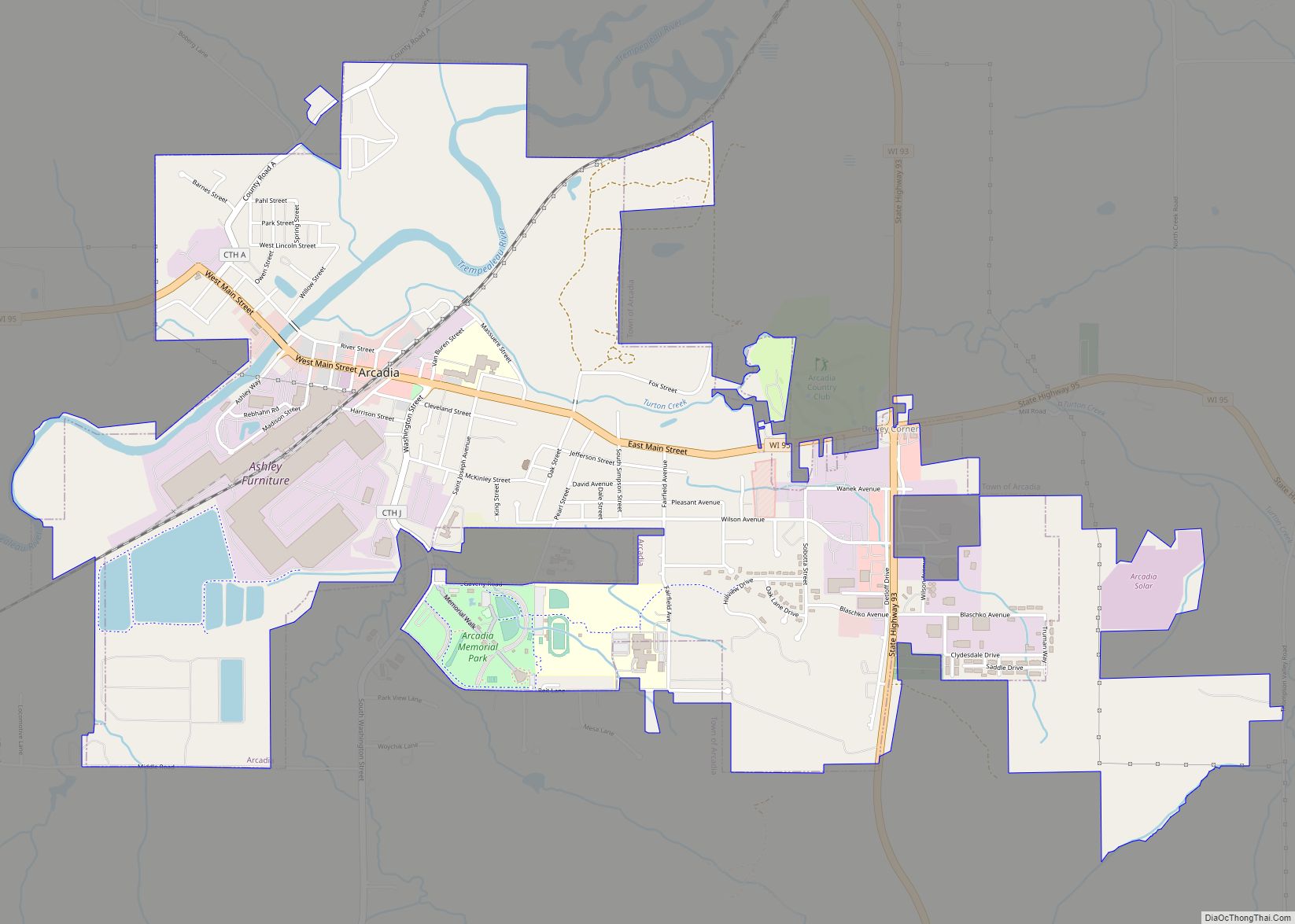
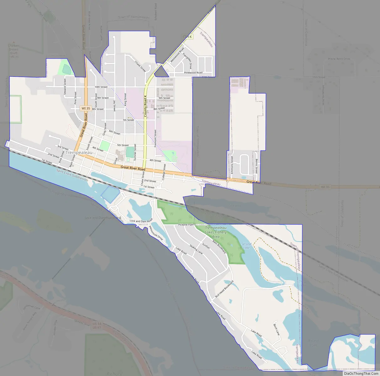
Trempealeau Road Map
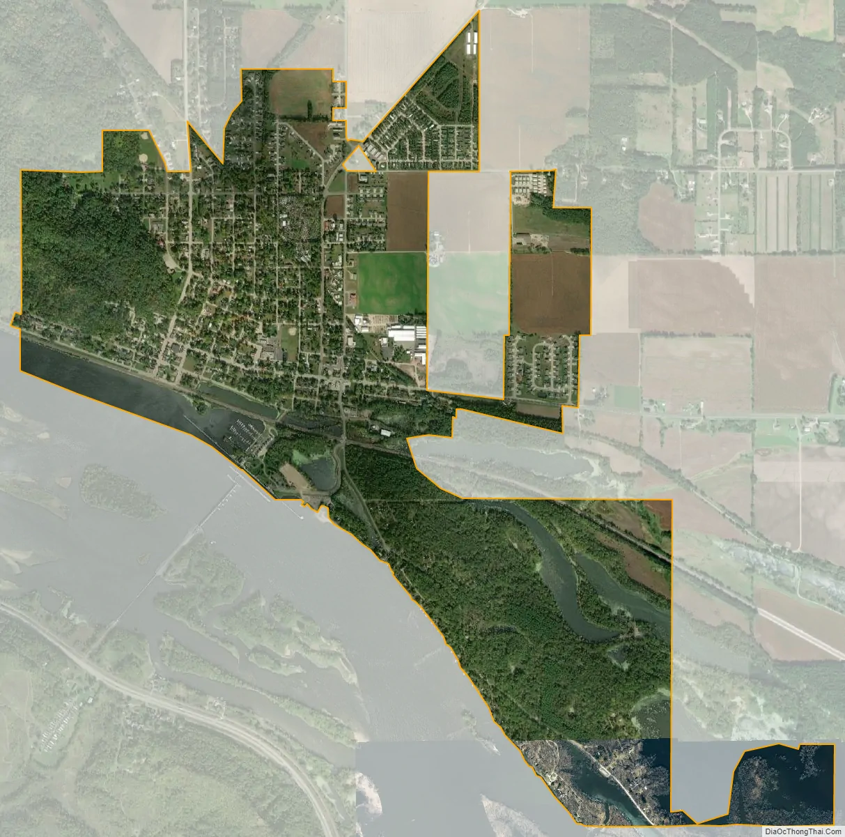
Trempealeau city Satellite Map
Geography
Trempealeau is located at 44°0′24″N 91°26′4″W / 44.00667°N 91.43444°W / 44.00667; -91.43444 (44.006906, -91.434572).
According to the United States Census Bureau, the village has a total area of 2.25 square miles (5.83 km), of which, 1.99 square miles (5.15 km) of it is land and 0.27 square miles (0.70 km) is water.
See also
Map of Wisconsin State and its subdivision:- Adams
- Ashland
- Barron
- Bayfield
- Brown
- Buffalo
- Burnett
- Calumet
- Chippewa
- Clark
- Columbia
- Crawford
- Dane
- Dodge
- Door
- Douglas
- Dunn
- Eau Claire
- Florence
- Fond du Lac
- Forest
- Grant
- Green
- Green Lake
- Iowa
- Iron
- Jackson
- Jefferson
- Juneau
- Kenosha
- Kewaunee
- La Crosse
- Lafayette
- Lake Michigan
- Lake Superior
- Langlade
- Lincoln
- Manitowoc
- Marathon
- Marinette
- Marquette
- Menominee
- Milwaukee
- Monroe
- Oconto
- Oneida
- Outagamie
- Ozaukee
- Pepin
- Pierce
- Polk
- Portage
- Price
- Racine
- Richland
- Rock
- Rusk
- Saint Croix
- Sauk
- Sawyer
- Shawano
- Sheboygan
- Taylor
- Trempealeau
- Vernon
- Vilas
- Walworth
- Washburn
- Washington
- Waukesha
- Waupaca
- Waushara
- Winnebago
- Wood
- Alabama
- Alaska
- Arizona
- Arkansas
- California
- Colorado
- Connecticut
- Delaware
- District of Columbia
- Florida
- Georgia
- Hawaii
- Idaho
- Illinois
- Indiana
- Iowa
- Kansas
- Kentucky
- Louisiana
- Maine
- Maryland
- Massachusetts
- Michigan
- Minnesota
- Mississippi
- Missouri
- Montana
- Nebraska
- Nevada
- New Hampshire
- New Jersey
- New Mexico
- New York
- North Carolina
- North Dakota
- Ohio
- Oklahoma
- Oregon
- Pennsylvania
- Rhode Island
- South Carolina
- South Dakota
- Tennessee
- Texas
- Utah
- Vermont
- Virginia
- Washington
- West Virginia
- Wisconsin
- Wyoming