Waupaca is a city in and the county seat of Waupaca County in the U.S. state of Wisconsin. The population was 6,282 at the 2020 census.
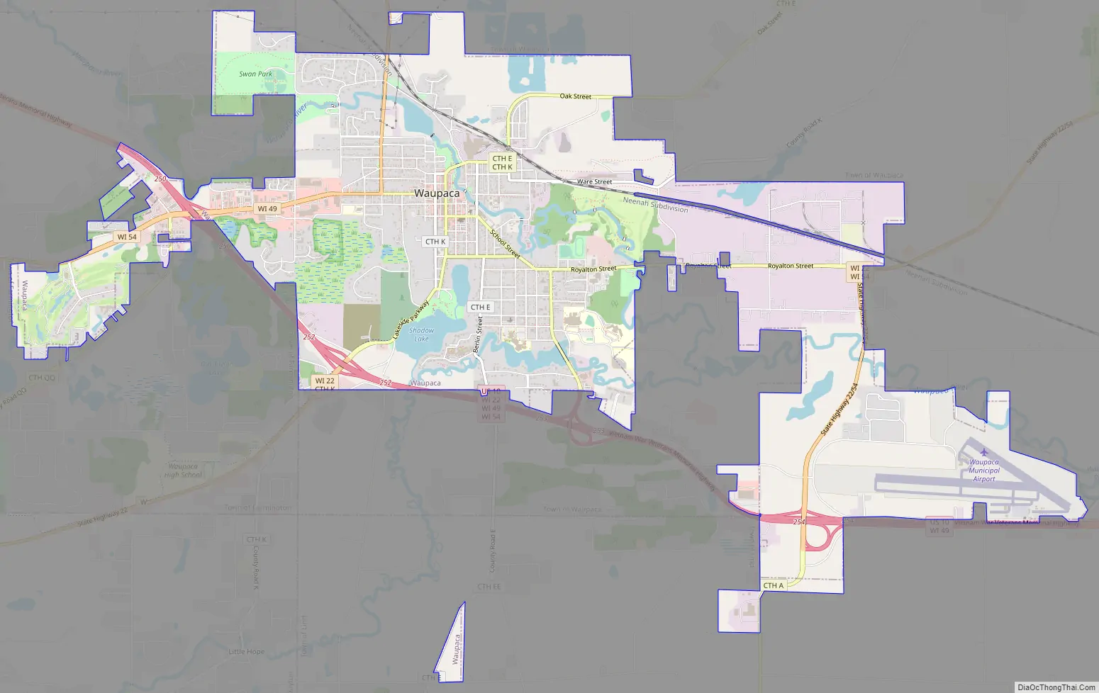
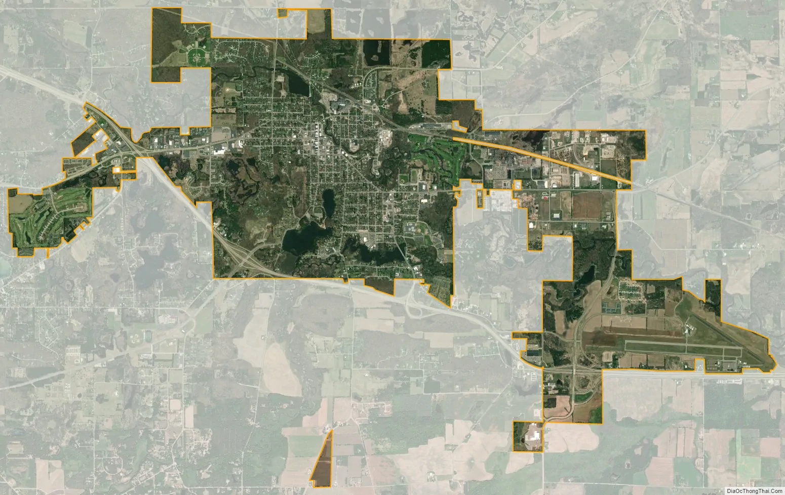
The city is located mostly within the Town of Waupaca, and it is politically independent of the town. A portion extends west into the adjacent Town of Farmington, and there is also a noncontiguous area of the city in the Town of Lind to the south. The city is divided into natural areas, city areas, and industrial areas.
| Name: | Waupaca city |
|---|---|
| LSAD Code: | 25 |
| LSAD Description: | city (suffix) |
| State: | Wisconsin |
| County: | Waupaca County |
| Total Area: | 8.21 sq mi (21.27 km²) |
| Land Area: | 7.92 sq mi (20.51 km²) |
| Water Area: | 0.29 sq mi (0.75 km²) |
| Total Population: | 6,282 |
| Population Density: | 793.2/sq mi (306.3/km²) |
| ZIP code: | 54981 |
| Area code: | 715 & 534 |
| FIPS code: | 5584375 |
| Website: | www.cityofwaupaca.org |
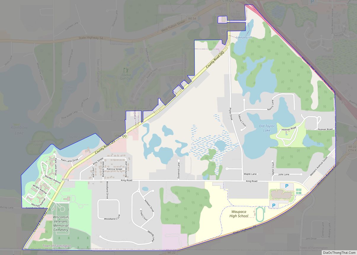
Online Interactive Map
Click on ![]() to view map in "full screen" mode.
to view map in "full screen" mode.
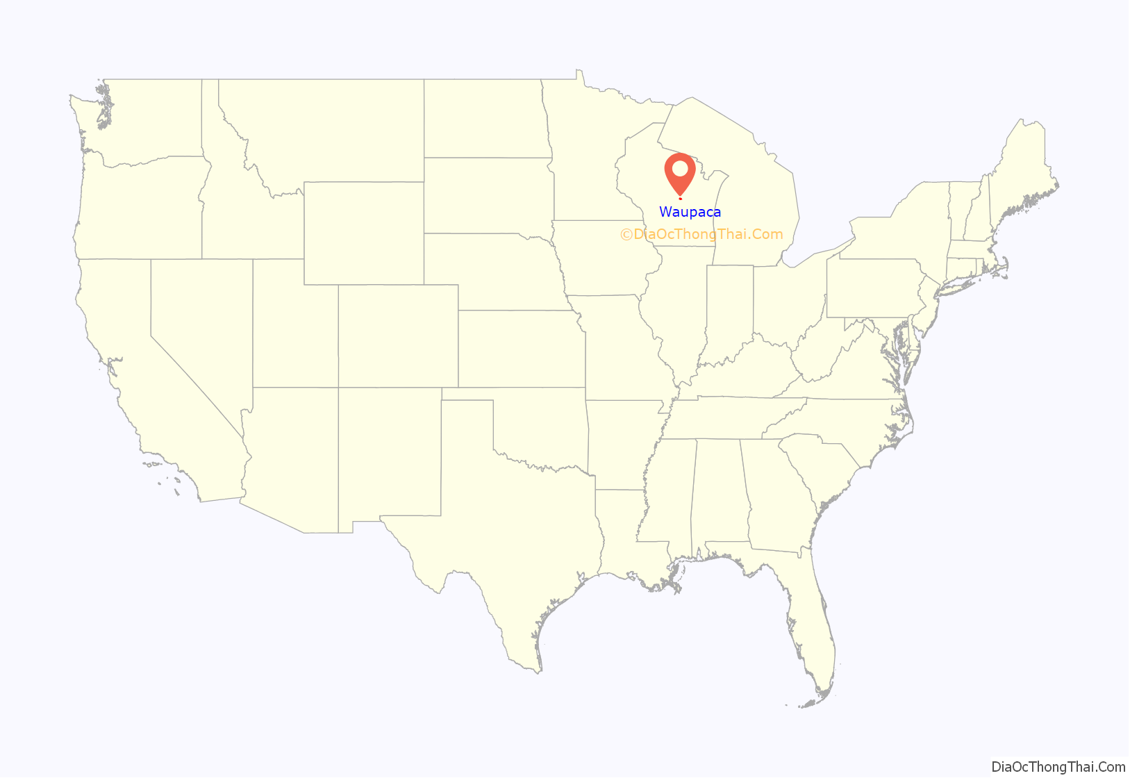
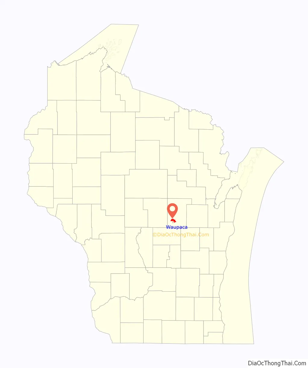
Waupaca location map. Where is Waupaca city?
History
Native American mound builders lived in the area prior to European settlement. At one time there were 72 earthwork mounds in the area, some of them ancient prehistoric works.
“Waupaca” is an Menominee word, Wāpahkoh, which means Place of Tomorrow Seen Clearly. For more than 10,000 years, the Menominee occupied about 10 million acres, including Waupaca and the Chain O’Lakes area. The Menominee in the Waupaca area moved between large villages on Taylor and Otter Lakes and camps along the falls on the Waupaca River.
In a series of seven treaties, the Menominee ceded their lands to the United States. The final treaty, in 1848, relinquished the last of the Menominee’s land, which included Waupaca.
The first white settlers, five men from Vermont, came to Waupaca looking for “the falls” in 1849. The settlers made camp near the end of what is now North Main Street with plans to harness the power of the falls and establish a community.
By 1852, a post office had been established and the settlement was officially named Waupaca. Waupaca was incorporated as a village on May 4, 1857 by an act of the Wisconsin State Legislature. This act was repealed on April 7, 1862, but revived on June 17 of the same year. Waupaca was incorporated as a city by the legislature on March 5, 1875.
Beginning in the 1960s and continuing to the present, the city has expanded its population and area through annexation.
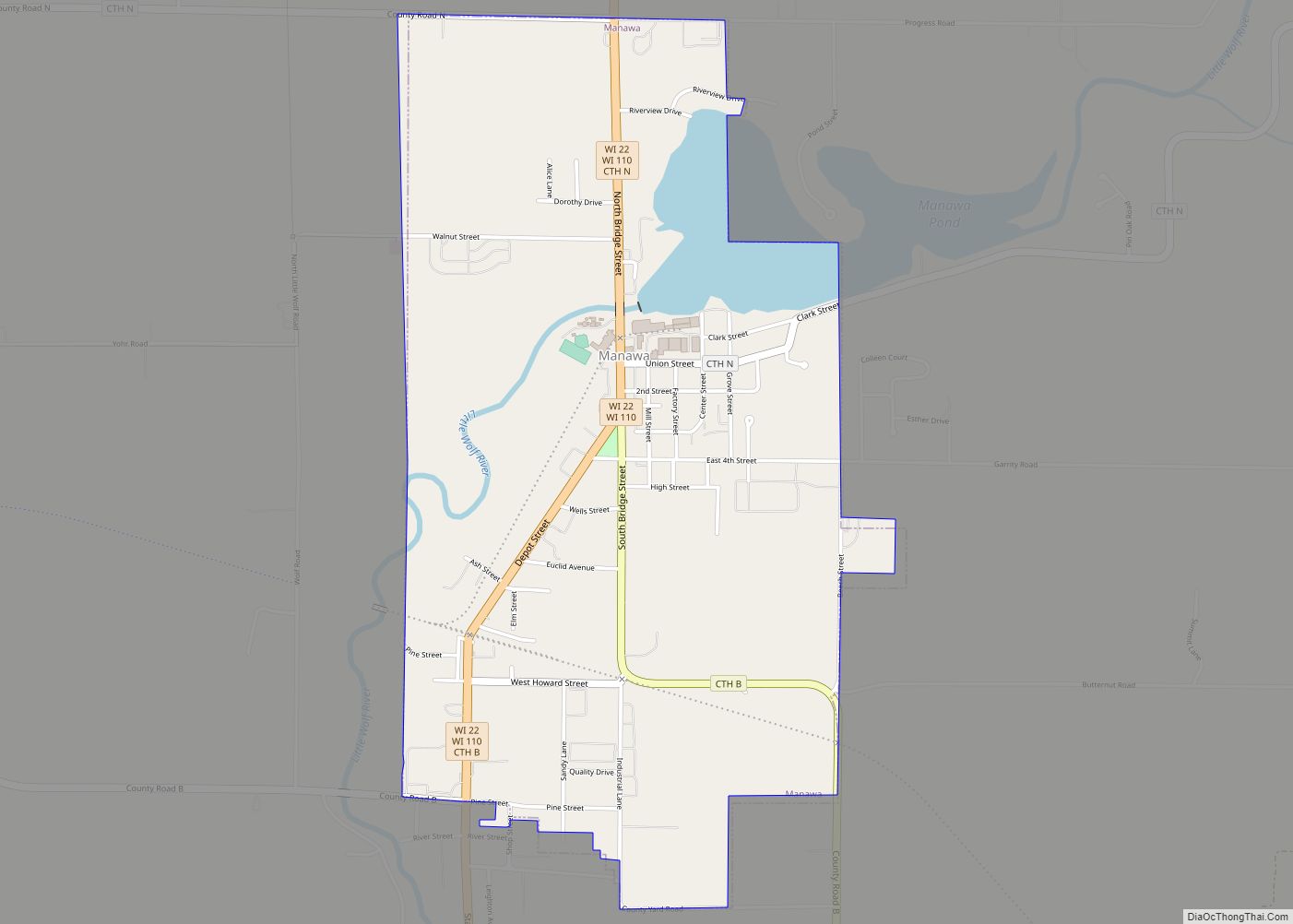
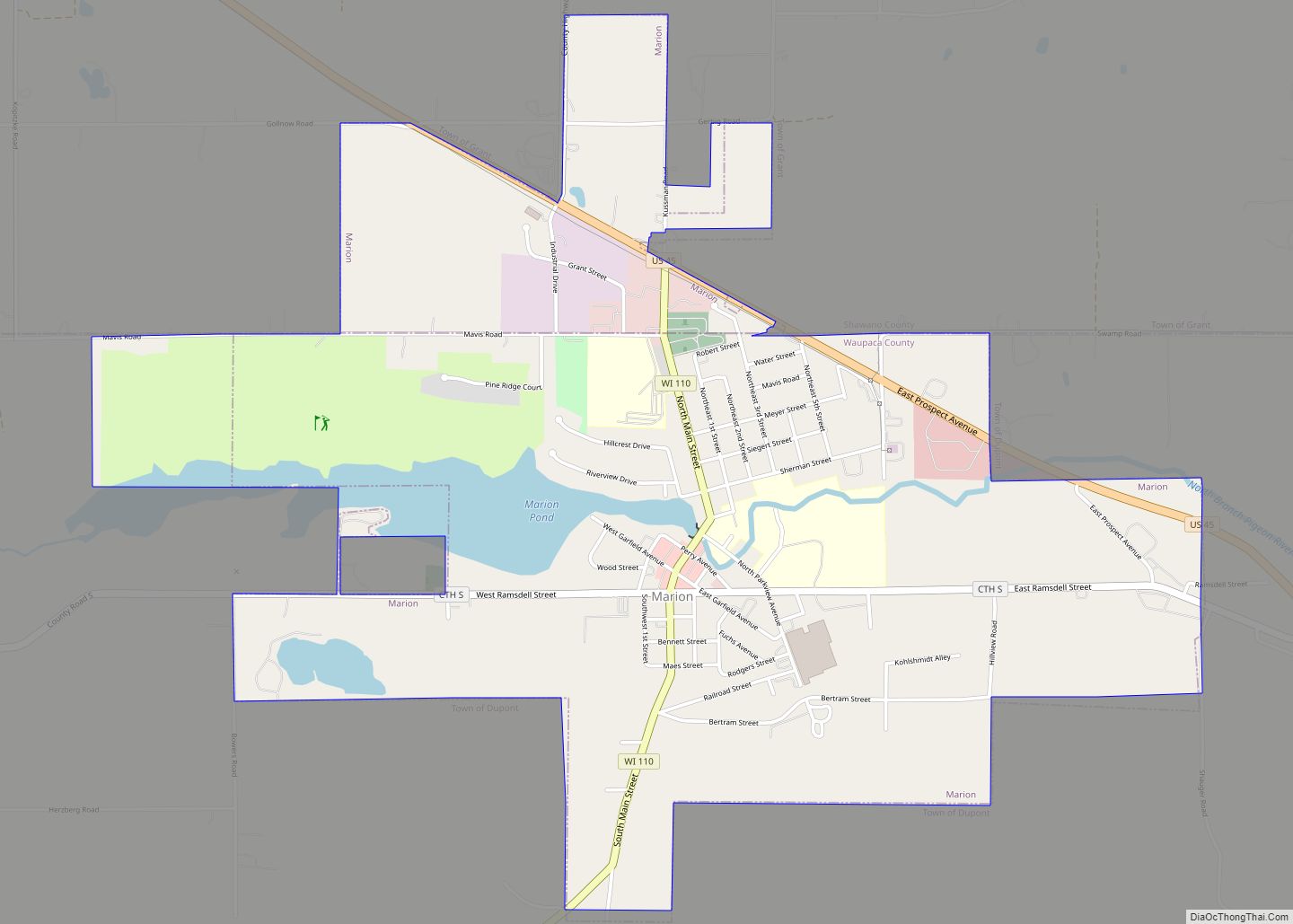
Waupaca Road Map
Waupaca city Satellite Map
Geography
Waupaca is located at 44°21′17″N 89°4′54″W / 44.35472°N 89.08167°W / 44.35472; -89.08167 (44.354922, -89.081775).
According to the United States Census Bureau, the city has a total area of 8.21 square miles (21.3 km), of which 7.92 square miles (20.5 km) is land and 0.29 square miles (0.75 km) is water.
Climate
See also
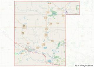
Map of Wisconsin State and its subdivision:- Adams
- Ashland
- Barron
- Bayfield
- Brown
- Buffalo
- Burnett
- Calumet
- Chippewa
- Clark
- Columbia
- Crawford
- Dane
- Dodge
- Door
- Douglas
- Dunn
- Eau Claire
- Florence
- Fond du Lac
- Forest
- Grant
- Green
- Green Lake
- Iowa
- Iron
- Jackson
- Jefferson
- Juneau
- Kenosha
- Kewaunee
- La Crosse
- Lafayette
- Lake Michigan
- Lake Superior
- Langlade
- Lincoln
- Manitowoc
- Marathon
- Marinette
- Marquette
- Menominee
- Milwaukee
- Monroe
- Oconto
- Oneida
- Outagamie
- Ozaukee
- Pepin
- Pierce
- Polk
- Portage
- Price
- Racine
- Richland
- Rock
- Rusk
- Saint Croix
- Sauk
- Sawyer
- Shawano
- Sheboygan
- Taylor
- Trempealeau
- Vernon
- Vilas
- Walworth
- Washburn
- Washington
- Waukesha
- Waupaca
- Waushara
- Winnebago
- Wood
- Alabama
- Alaska
- Arizona
- Arkansas
- California
- Colorado
- Connecticut
- Delaware
- District of Columbia
- Florida
- Georgia
- Hawaii
- Idaho
- Illinois
- Indiana
- Iowa
- Kansas
- Kentucky
- Louisiana
- Maine
- Maryland
- Massachusetts
- Michigan
- Minnesota
- Mississippi
- Missouri
- Montana
- Nebraska
- Nevada
- New Hampshire
- New Jersey
- New Mexico
- New York
- North Carolina
- North Dakota
- Ohio
- Oklahoma
- Oregon
- Pennsylvania
- Rhode Island
- South Carolina
- South Dakota
- Tennessee
- Texas
- Utah
- Vermont
- Virginia
- Washington
- West Virginia
- Wisconsin
- Wyoming