Waupun is a city in Dodge and Fond du Lac counties in the U.S. state of Wisconsin. The population was 11,344 at the 2020 census. Of this, 7,795 were in Dodge County, and 3,549 were in Fond du Lac County. In Fond du Lac County, the Town of Waupun abuts the city of Waupun.
| Name: | Waupun city |
|---|---|
| LSAD Code: | 25 |
| LSAD Description: | city (suffix) |
| State: | Wisconsin |
| County: | Dodge County, Fond du Lac County |
| Elevation: | 892 ft (272 m) |
| Total Area: | 4.68 sq mi (12.12 km²) |
| Land Area: | 4.62 sq mi (11.97 km²) |
| Water Area: | 0.06 sq mi (0.16 km²) |
| Total Population: | 11,344 |
| Population Density: | 2,455.4/sq mi (948.0/km²) |
| ZIP code: | 53963 |
| Area code: | 920 |
| FIPS code: | 5584425 |
| GNISfeature ID: | 1576324 |
| Website: | www.cityofwaupun.org |
Online Interactive Map
Click on ![]() to view map in "full screen" mode.
to view map in "full screen" mode.
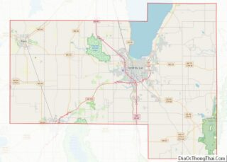
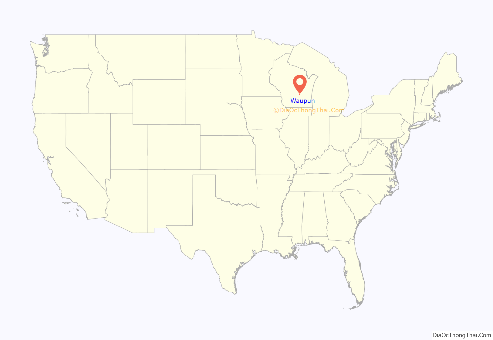
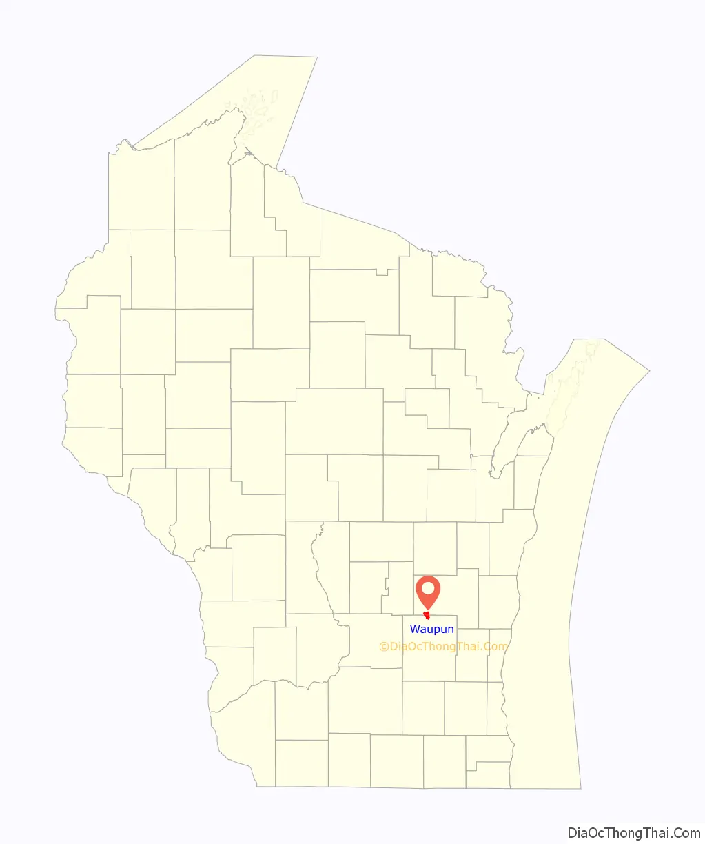
Waupun location map. Where is Waupun city?
History
Founding
Waupun was founded in 1839 by Seymour Wilcox, the first settler along the Rock River in what was then deciduous forested land. Wilcox chose the land on recommendation of John Bannister, the first surveyor of Fond du Lac County, who reported to the government office in Green Bay that “the Rock River Valley was the most beautiful and fertile he had ever seen.” Wilcox surveyed the land himself in late fall of 1838, returning to Green Bay for the winter. In February 1839 he returned to the plot he laid out accompanied by two men, John N. Ackerman and Hiram Walker, who were interested in the powerful river and fertile land. They quickly nailed together a shanty to four bur oaks and began building a suitable cabin for the Wilcox homestead. Leaving Ackerman and Walker to finish, Wilcox returned to Green Bay to bring his family to their new home. They reached Waupun on March 20, 1839.
Waupun comes from the Ojibwe word “Waubun” which means “the east,” “the morning,” “the twilight of dawn” and “dawn of day.” Waupun was originally supposed to be named “Waubun” but the state of Wisconsin made a spelling error, and Waupun never bothered to change it. An adjacent town with the same name was changed along with the village.
Early history
The first town election took place in 1842 at the Wilcox home; eleven votes were cast. When the village charter was ratified 15 years later, 323 votes were cast in the first election. Because of the steady growth of the village, a city charter was granted on March 15, 1878. John N. Ackerman was elected as the first city mayor.
In 1851, the city was chosen for the State Penitentiary, owing to the abundance of limestone for construction. The main building, constructed in 1854, is still in use.
The Milwaukee & Horicon Railroad reached Waupun in 1856. It was sold to the Milwaukee & St. Paul Railway June 23, 1863. This company eventually became the Chicago, Milwaukee, St. Paul and Pacific Railroad, known as “The Milwaukee Road”, which served Waupun until 1980, when the line was sold to the state of Wisconsin and became the Wisconsin & Southern Railroad.
The Waupun Library Association was established in 1858 through the efforts of William Euen and Edwin Hillyer. Hillyer ran the library out of his insurance office for 37 years without pay. In 1895, the city took ownership of the library, appointing a new library board which included Edwin Hillyer and Lucius D. Hinkley. When the city took ownership, it was soon moved to a side room in the Whiting Theater, which became the Davison Theater while still housing the library. In 1900, through the fundraising efforts of the Waupun Women’s Club, it became a free public library. The Waupun Carnegie Library, now Waupun Heritage Museum, was built in 1904 with a $10,000 grant from Andrew Carnegie. A new library building was built in 1968 and is the current Waupun Public Library.
The territorial census in 1847 showed the Town of Waupun to have a population of 956. The 1875 Wisconsin census showed the village of Waupun to have a population of 1,867.
Second World War
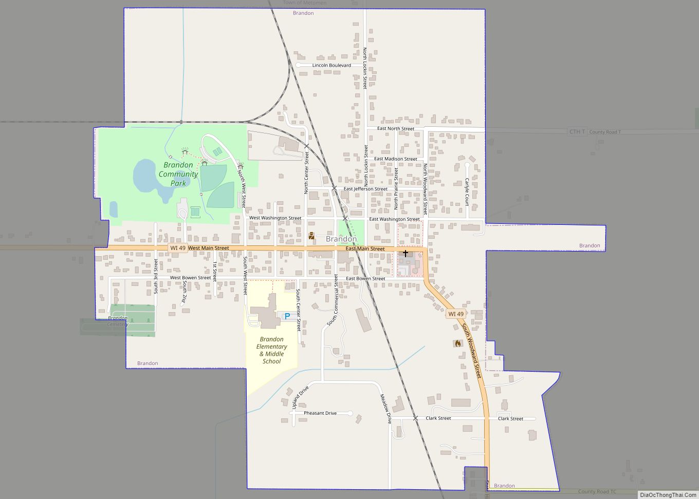
In 1945 Waupun, was selected for the site of a German POW camp. Despite public opposition, the camp was constructed next to the canning factory, south of Doty Street. The prisoners were brought to Wisconsin to relieve deficits of manpower in the area factories and farms. There were about 200 POWs at the Waupun camp who were assigned to work either for Canned Foods Inc. in Waupun or Stokely Foods in Brandon, Wisconsin.
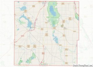
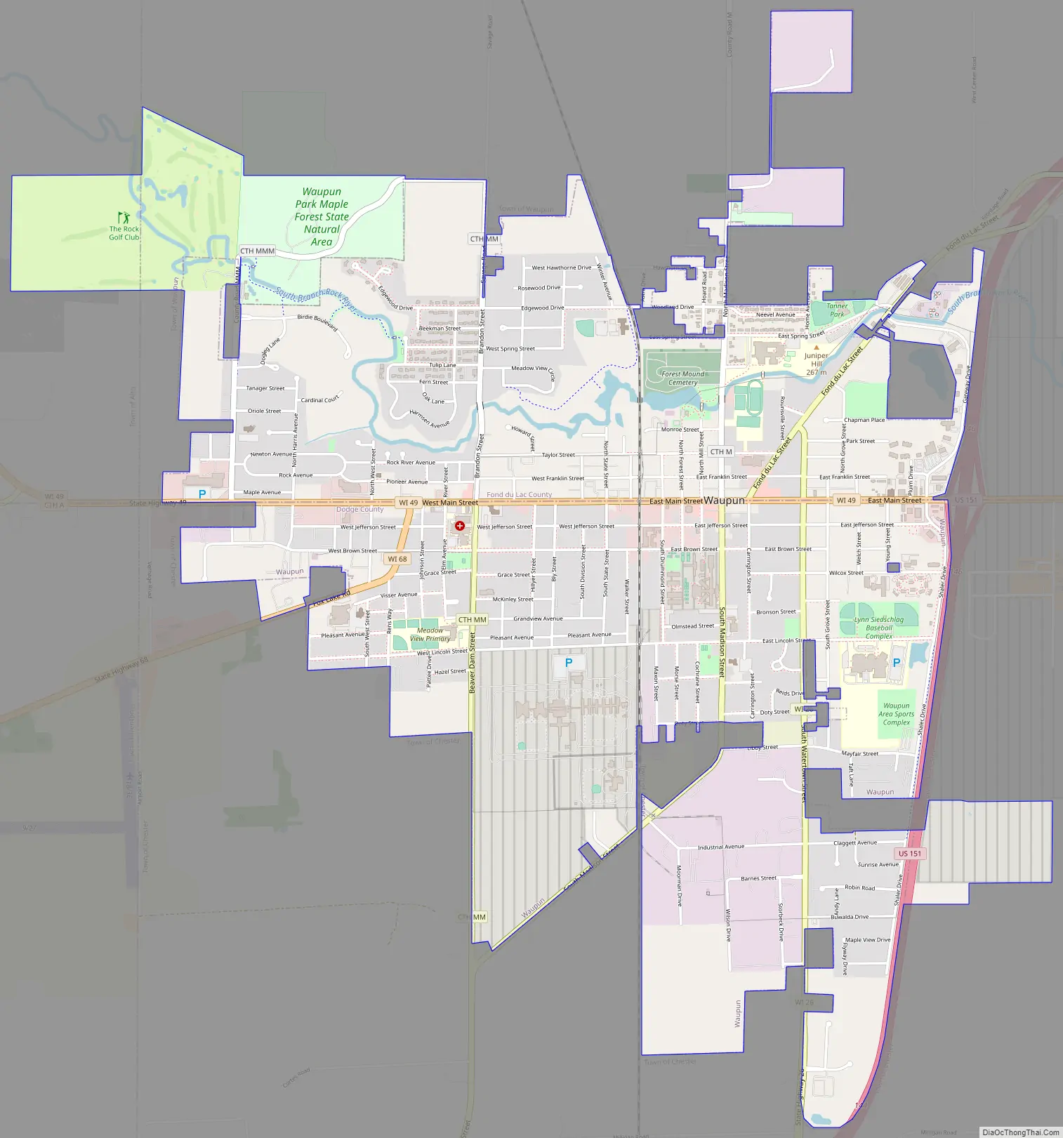
Waupun Road Map
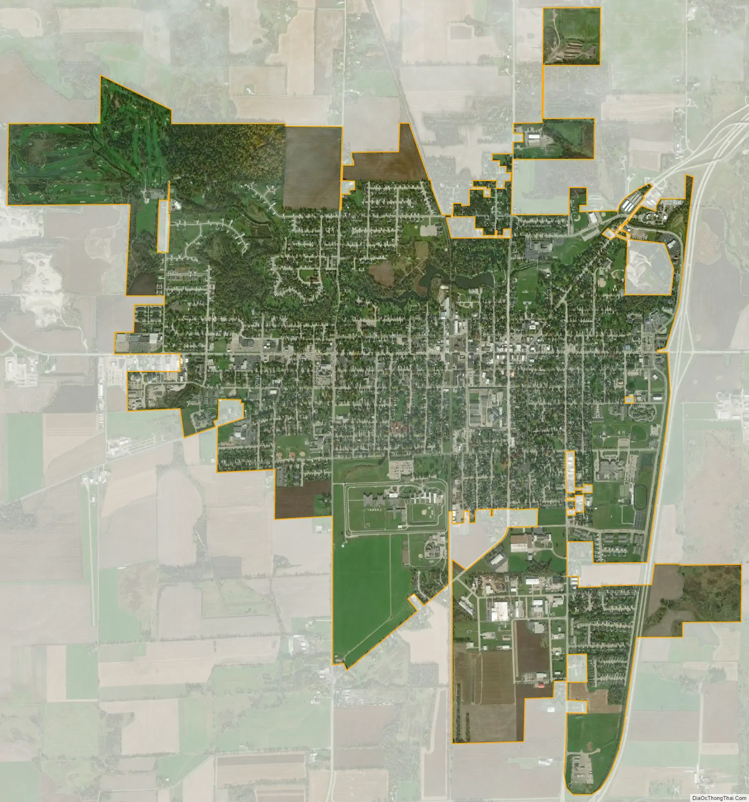
Waupun city Satellite Map
Geography
Waupun is located at 43°37′54″N 88°44′9″W / 43.63167°N 88.73583°W / 43.63167; -88.73583 (43.631577, −88.735835).
According to the United States Census Bureau, the city has a total area of 4.68 square miles (12.12 km), of which, 4.62 square miles (11.97 km) is land and 0.06 square miles (0.16 km) is water.
The relief of the city is moderate, ranging from 870 feet (270 m) at the Rock River, to its highest elevation of 941 feet (287 m) above sea level.
Waupun lies near the edge of the Horicon Marsh, the largest cattail marsh in the United States, and is the principal access point to wildlife viewing for the Horicon Wildlife Refuges.
The Fond du Lac County Park, on the edge of Waupun, has preserved a remnant stand of old-growth southern mesic forest, which once covered over 3 million acres (12,000 km) of Southern Wisconsin. The Fond du Lac County Park also provides camping.
See also
Map of Wisconsin State and its subdivision:- Adams
- Ashland
- Barron
- Bayfield
- Brown
- Buffalo
- Burnett
- Calumet
- Chippewa
- Clark
- Columbia
- Crawford
- Dane
- Dodge
- Door
- Douglas
- Dunn
- Eau Claire
- Florence
- Fond du Lac
- Forest
- Grant
- Green
- Green Lake
- Iowa
- Iron
- Jackson
- Jefferson
- Juneau
- Kenosha
- Kewaunee
- La Crosse
- Lafayette
- Lake Michigan
- Lake Superior
- Langlade
- Lincoln
- Manitowoc
- Marathon
- Marinette
- Marquette
- Menominee
- Milwaukee
- Monroe
- Oconto
- Oneida
- Outagamie
- Ozaukee
- Pepin
- Pierce
- Polk
- Portage
- Price
- Racine
- Richland
- Rock
- Rusk
- Saint Croix
- Sauk
- Sawyer
- Shawano
- Sheboygan
- Taylor
- Trempealeau
- Vernon
- Vilas
- Walworth
- Washburn
- Washington
- Waukesha
- Waupaca
- Waushara
- Winnebago
- Wood
- Alabama
- Alaska
- Arizona
- Arkansas
- California
- Colorado
- Connecticut
- Delaware
- District of Columbia
- Florida
- Georgia
- Hawaii
- Idaho
- Illinois
- Indiana
- Iowa
- Kansas
- Kentucky
- Louisiana
- Maine
- Maryland
- Massachusetts
- Michigan
- Minnesota
- Mississippi
- Missouri
- Montana
- Nebraska
- Nevada
- New Hampshire
- New Jersey
- New Mexico
- New York
- North Carolina
- North Dakota
- Ohio
- Oklahoma
- Oregon
- Pennsylvania
- Rhode Island
- South Carolina
- South Dakota
- Tennessee
- Texas
- Utah
- Vermont
- Virginia
- Washington
- West Virginia
- Wisconsin
- Wyoming