Wild Rose is a village in Waushara County, Wisconsin, United States. The population was 725 at the 2010 census.
| Name: | Wild Rose village |
|---|---|
| LSAD Code: | 47 |
| LSAD Description: | village (suffix) |
| State: | Wisconsin |
| County: | Waushara County |
| Elevation: | 950 ft (290 m) |
| Total Area: | 1.48 sq mi (3.83 km²) |
| Land Area: | 1.45 sq mi (3.77 km²) |
| Water Area: | 0.02 sq mi (0.06 km²) |
| Total Population: | 725 |
| Population Density: | 470.43/sq mi (181.67/km²) |
| Area code: | 920 |
| FIPS code: | 5587075 |
| GNISfeature ID: | 1576731 |
| Website: | www.villageofwildrose.com |
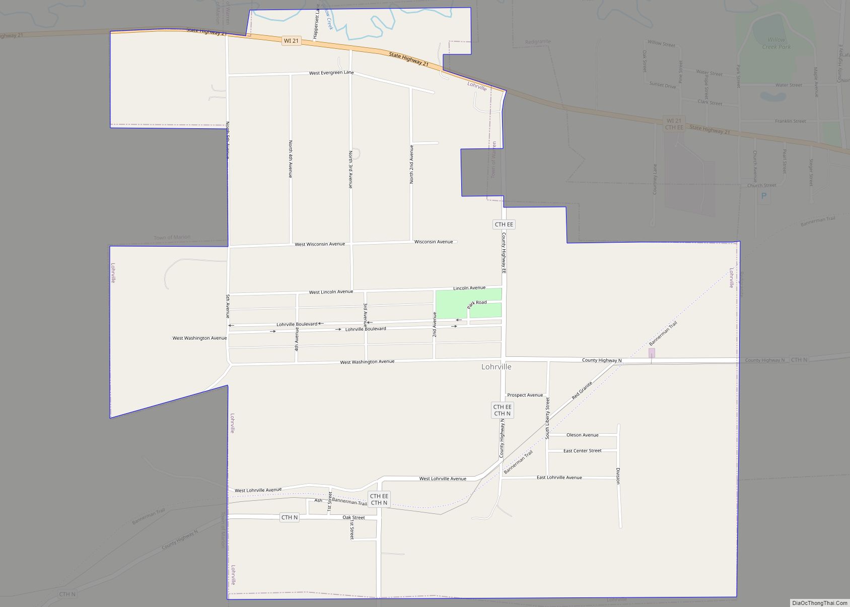
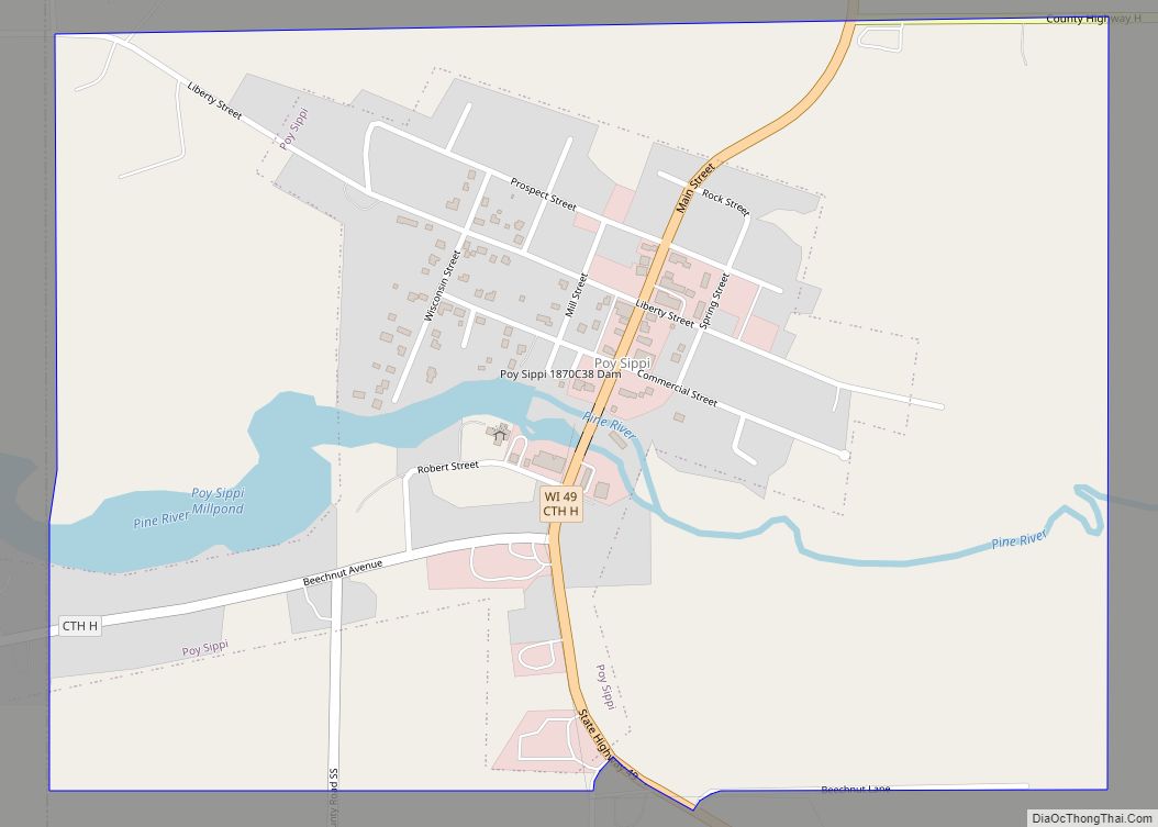
Online Interactive Map
Click on ![]() to view map in "full screen" mode.
to view map in "full screen" mode.
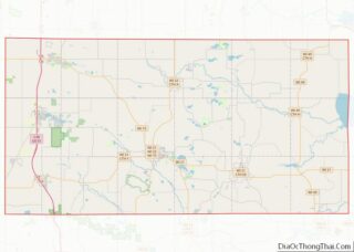
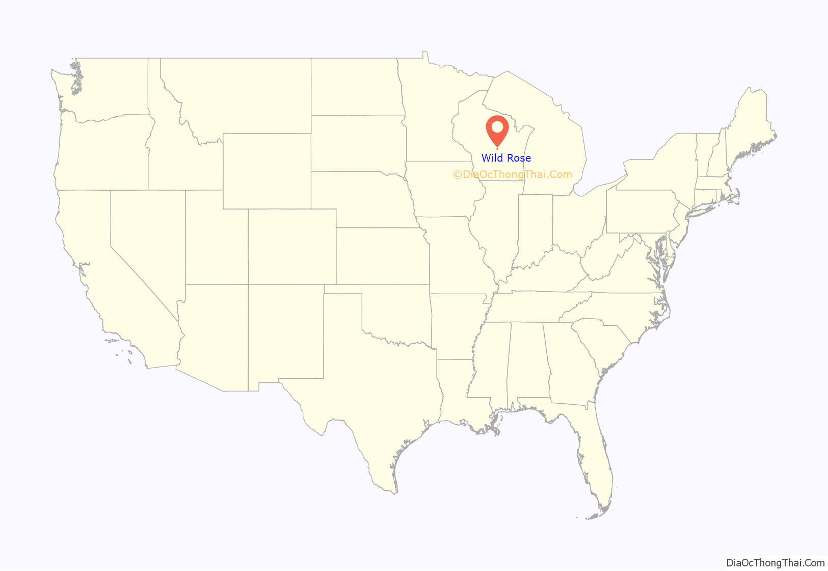
Wild Rose location map. Where is Wild Rose village?

History
A post office called Wild Rose has been in operation since 1873. The village was named from wild rose bushes near the original town site, although many early settlers arrived from Rose, New York in the mid 1850’s and the town may be named Wild Rose in reference to Rose, NY.
The Wild Rose Historical Society maintains Pioneer Museum on Main Street in Wild Rose.
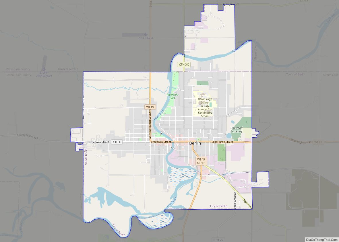
Wild Rose Road Map
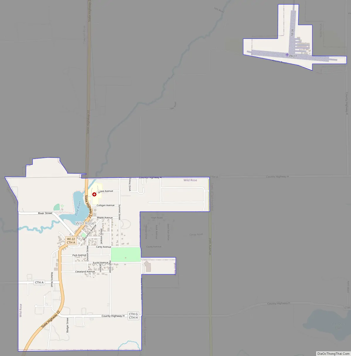
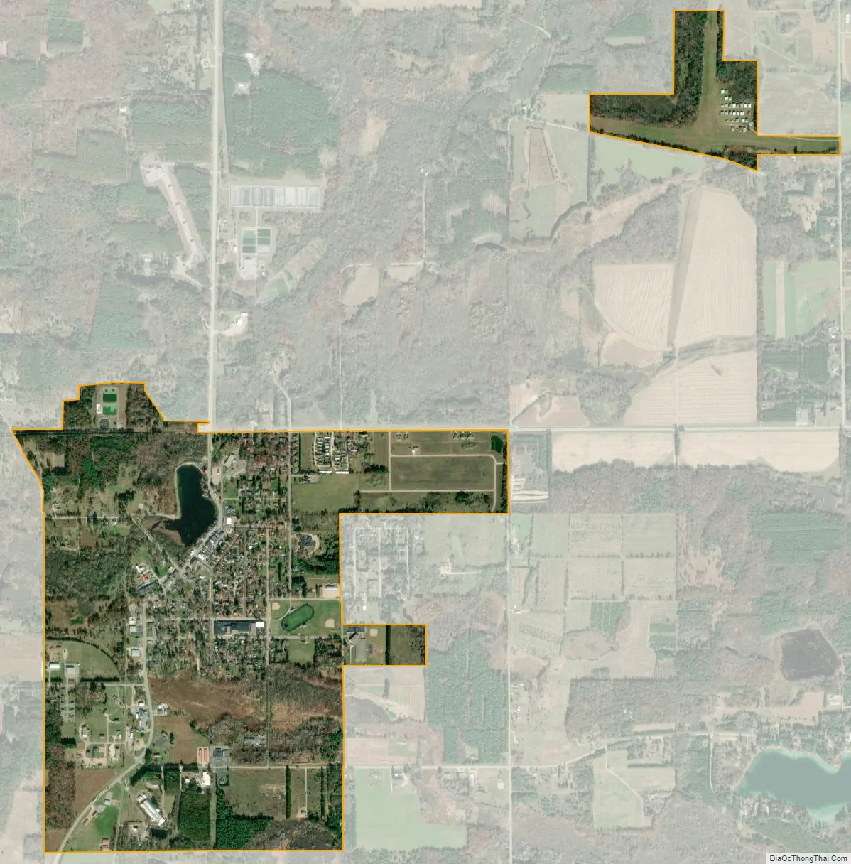
Wild Rose city Satellite Map
Geography
Wild Rose is located at 44°10′37″N 89°14′46″W / 44.17694°N 89.24611°W / 44.17694; -89.24611 (44.177054, -89.246242).
According to the United States Census Bureau, the village has a total area of 1.55 square miles (4.01 km), of which, 1.53 square miles (3.96 km) of it is land and 0.02 square miles (0.05 km) is water.
See also
Map of Wisconsin State and its subdivision:- Adams
- Ashland
- Barron
- Bayfield
- Brown
- Buffalo
- Burnett
- Calumet
- Chippewa
- Clark
- Columbia
- Crawford
- Dane
- Dodge
- Door
- Douglas
- Dunn
- Eau Claire
- Florence
- Fond du Lac
- Forest
- Grant
- Green
- Green Lake
- Iowa
- Iron
- Jackson
- Jefferson
- Juneau
- Kenosha
- Kewaunee
- La Crosse
- Lafayette
- Lake Michigan
- Lake Superior
- Langlade
- Lincoln
- Manitowoc
- Marathon
- Marinette
- Marquette
- Menominee
- Milwaukee
- Monroe
- Oconto
- Oneida
- Outagamie
- Ozaukee
- Pepin
- Pierce
- Polk
- Portage
- Price
- Racine
- Richland
- Rock
- Rusk
- Saint Croix
- Sauk
- Sawyer
- Shawano
- Sheboygan
- Taylor
- Trempealeau
- Vernon
- Vilas
- Walworth
- Washburn
- Washington
- Waukesha
- Waupaca
- Waushara
- Winnebago
- Wood
- Alabama
- Alaska
- Arizona
- Arkansas
- California
- Colorado
- Connecticut
- Delaware
- District of Columbia
- Florida
- Georgia
- Hawaii
- Idaho
- Illinois
- Indiana
- Iowa
- Kansas
- Kentucky
- Louisiana
- Maine
- Maryland
- Massachusetts
- Michigan
- Minnesota
- Mississippi
- Missouri
- Montana
- Nebraska
- Nevada
- New Hampshire
- New Jersey
- New Mexico
- New York
- North Carolina
- North Dakota
- Ohio
- Oklahoma
- Oregon
- Pennsylvania
- Rhode Island
- South Carolina
- South Dakota
- Tennessee
- Texas
- Utah
- Vermont
- Virginia
- Washington
- West Virginia
- Wisconsin
- Wyoming