Belle is a town in Kanawha County, West Virginia, United States, situated along the Kanawha River. The population was 1,171 at the 2020 census. Belle was incorporated on December 13, 1958 by the Kanawha County Circuit Court. It is the home of the Belle Bulldogs Elementary School.
Belle Reynolds, an early postmaster, gave the town her first name.
| Name: | Belle town |
|---|---|
| LSAD Code: | 43 |
| LSAD Description: | town (suffix) |
| State: | West Virginia |
| County: | Kanawha County |
| Elevation: | 600 ft (183 m) |
| Total Area: | 0.78 sq mi (2.02 km²) |
| Land Area: | 0.69 sq mi (1.79 km²) |
| Water Area: | 0.09 sq mi (0.23 km²) |
| Total Population: | 1,171 |
| Population Density: | 1,631.88/sq mi (630.00/km²) |
| ZIP code: | 25015 |
| Area code: | 304 |
| FIPS code: | 5405836 |
| GNISfeature ID: | 1553846 |
| Website: | townofbelle.com |
Online Interactive Map
Click on ![]() to view map in "full screen" mode.
to view map in "full screen" mode.
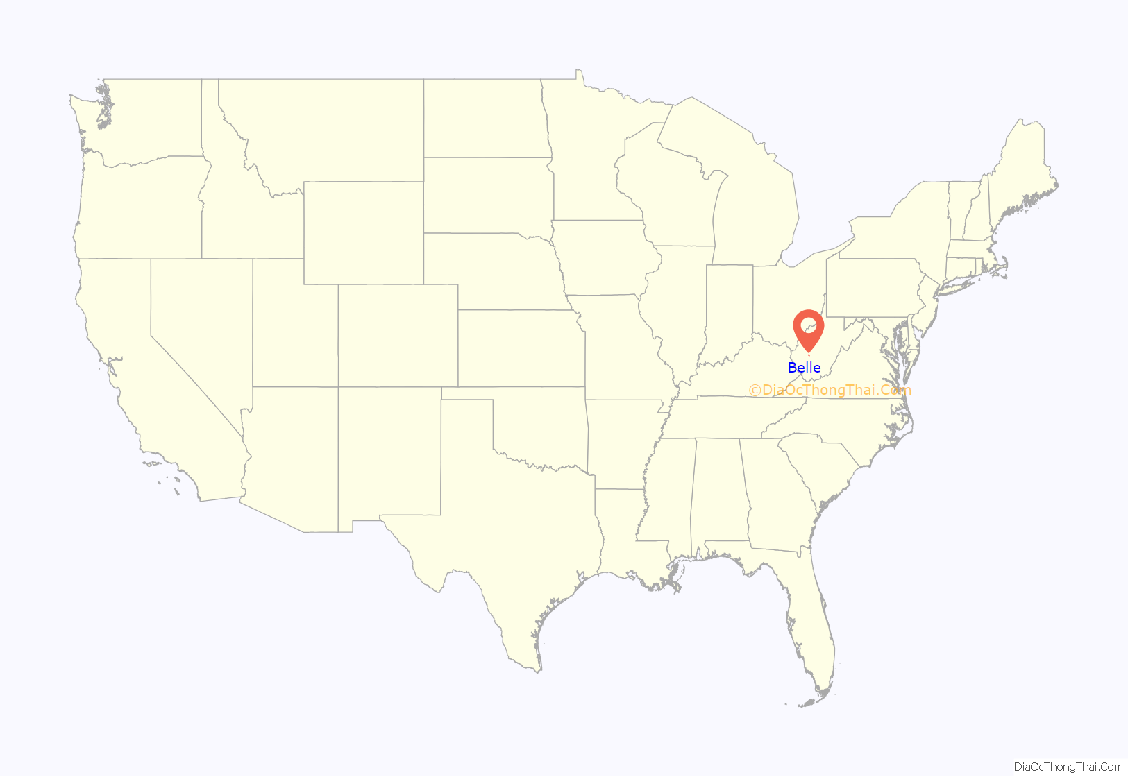
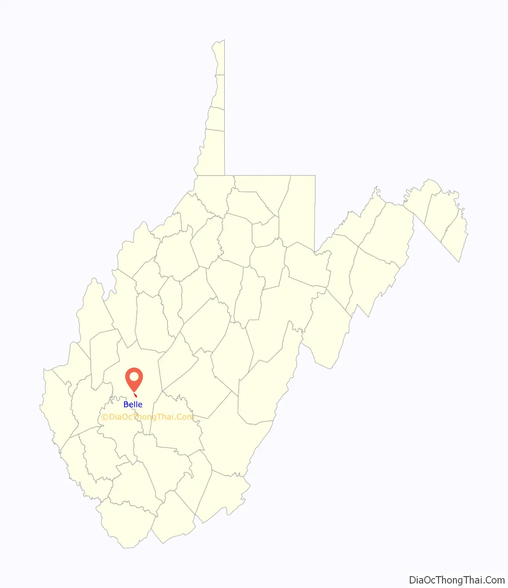
Belle location map. Where is Belle town?
History
On December 8, 2020 at approximately 10 pm, an explosion occurred at the Chemours Chemical Plant in the town, promoting a shelter-in-place to be issued for the town and surrounding areas. The explosion left one dead and three injured.
Belle Road Map
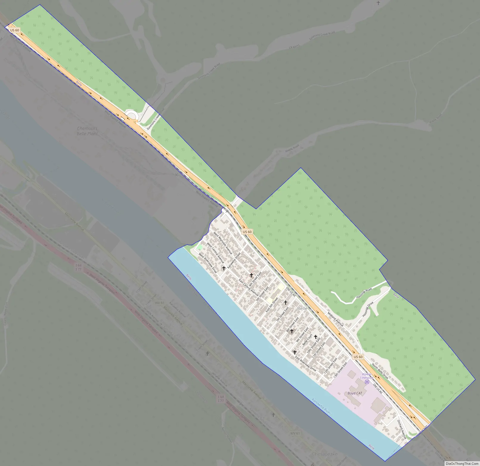
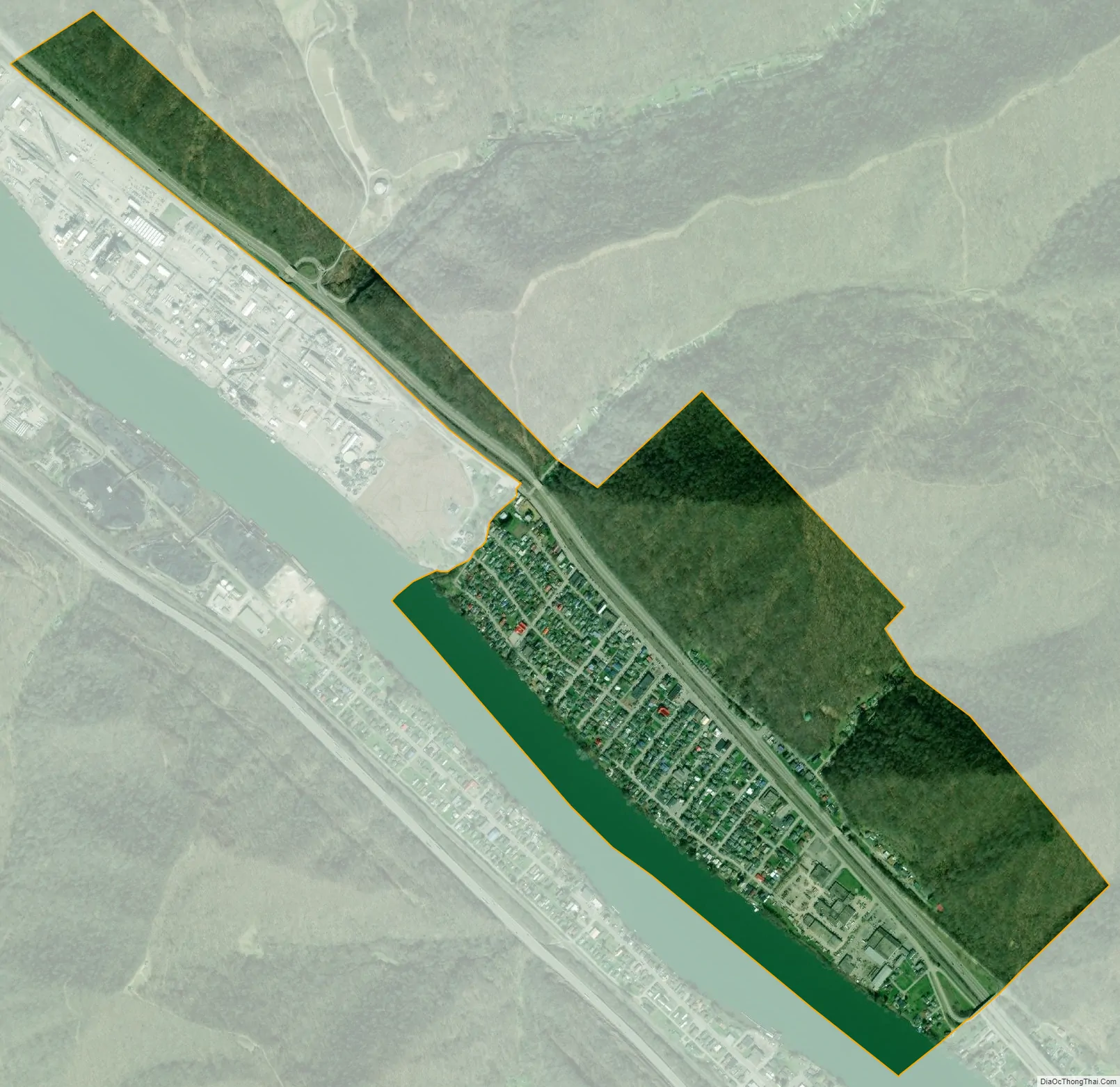
Belle city Satellite Map
Geography
According to the United States Census Bureau, the town has a total area of 0.78 square miles (2.02 km), of which 0.69 square miles (1.79 km) is land and 0.09 square miles (0.23 km) is water.
Pollution
Pollution had been noted in the air and water around Belle between 1988 and 2002, caused by the DuPont facility located there. Water releases of pollutants from the facility increased by 385%, and air releases decreased by 94.3%, during that time period.
See also
Map of West Virginia State and its subdivision:- Barbour
- Berkeley
- Boone
- Braxton
- Brooke
- Cabell
- Calhoun
- Clay
- Doddridge
- Fayette
- Gilmer
- Grant
- Greenbrier
- Hampshire
- Hancock
- Hardy
- Harrison
- Jackson
- Jefferson
- Kanawha
- Lewis
- Lincoln
- Logan
- Marion
- Marshall
- Mason
- McDowell
- Mercer
- Mineral
- Mingo
- Monongalia
- Monroe
- Morgan
- Nicholas
- Ohio
- Pendleton
- Pleasants
- Pocahontas
- Preston
- Putnam
- Raleigh
- Randolph
- Ritchie
- Roane
- Summers
- Taylor
- Tucker
- Tyler
- Upshur
- Wayne
- Webster
- Wetzel
- Wirt
- Wood
- Wyoming
- Alabama
- Alaska
- Arizona
- Arkansas
- California
- Colorado
- Connecticut
- Delaware
- District of Columbia
- Florida
- Georgia
- Hawaii
- Idaho
- Illinois
- Indiana
- Iowa
- Kansas
- Kentucky
- Louisiana
- Maine
- Maryland
- Massachusetts
- Michigan
- Minnesota
- Mississippi
- Missouri
- Montana
- Nebraska
- Nevada
- New Hampshire
- New Jersey
- New Mexico
- New York
- North Carolina
- North Dakota
- Ohio
- Oklahoma
- Oregon
- Pennsylvania
- Rhode Island
- South Carolina
- South Dakota
- Tennessee
- Texas
- Utah
- Vermont
- Virginia
- Washington
- West Virginia
- Wisconsin
- Wyoming