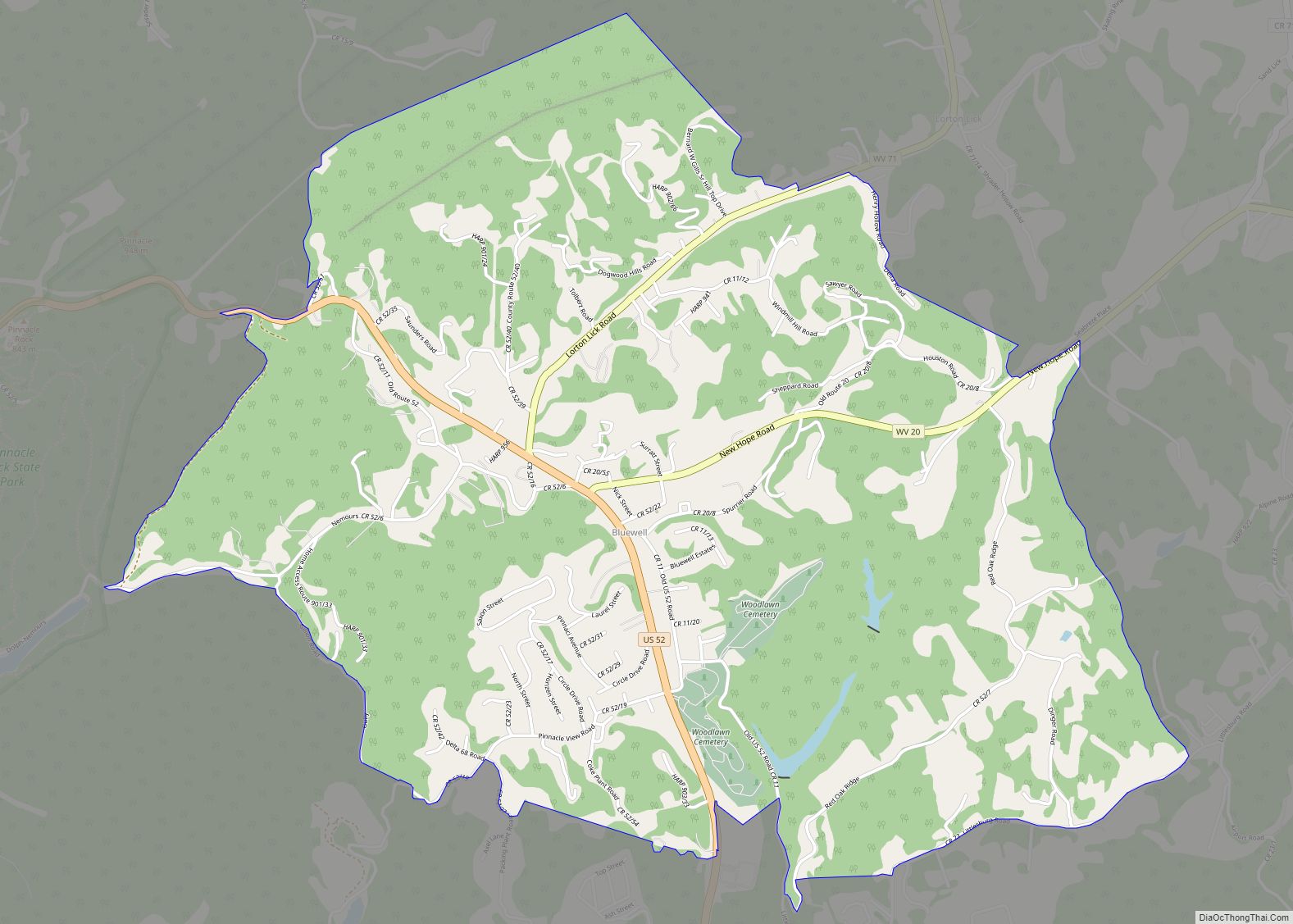
Bluewell, West Virginia is an unincorporated census-designated place on U.S. Route 52 in Mercer County, West Virginia, United States. As of the 2010 census, its population is 2,184. It is the terminus of West Virginia Route 20.
The community has no post office, its residences being a part of Bluefield for postal purposes. Its name is derived from being halfway between Bluefield and Bramwell.
The community is home to several businesses and establishments including Dish Network, Buffalo Trail Cabins and Restaurant and Lasting Impressions Flowers & Custom Gifts.
The community is adjacent to Pinnacle Rock State Park.
| Name: | Bluewell CDP |
|---|---|
| LSAD Code: | 57 |
| LSAD Description: | CDP (suffix) |
| State: | West Virginia |
| County: | Mercer County |
| Elevation: | 2,595 ft (791 m) |
| Total Area: | 4.522 sq mi (11.711697 km²) |
| Land Area: | 4.494 sq mi (11.639073 km²) |
| Water Area: | 0.028 sq mi (0.072624 km²) |
| Total Population: | 2,184 |
| Population Density: | 480/sq mi (190/km²) |
| ZIP code: | 24701 |
| FIPS code: | 5408764 |
| GNISfeature ID: | 54-08764 |
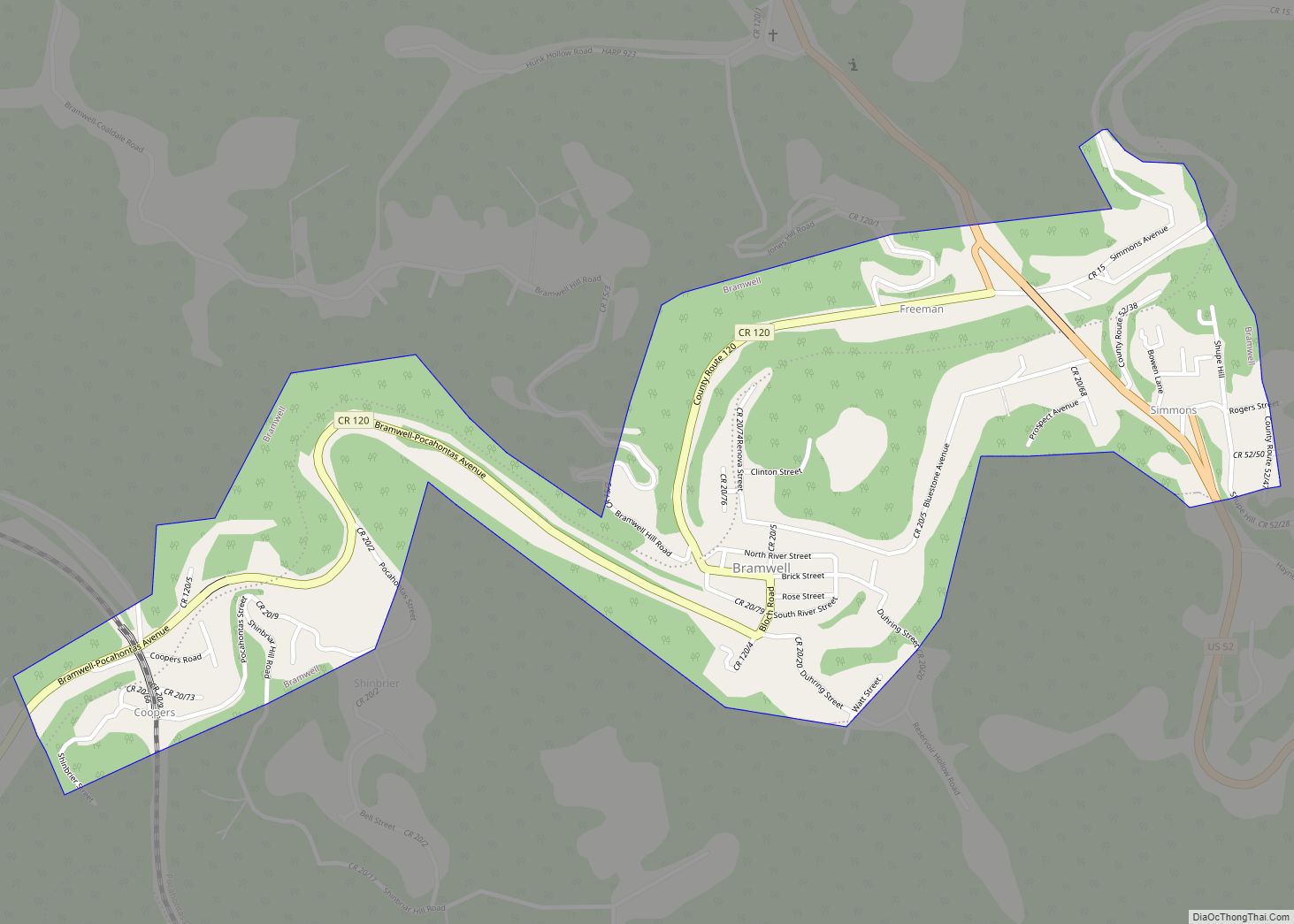
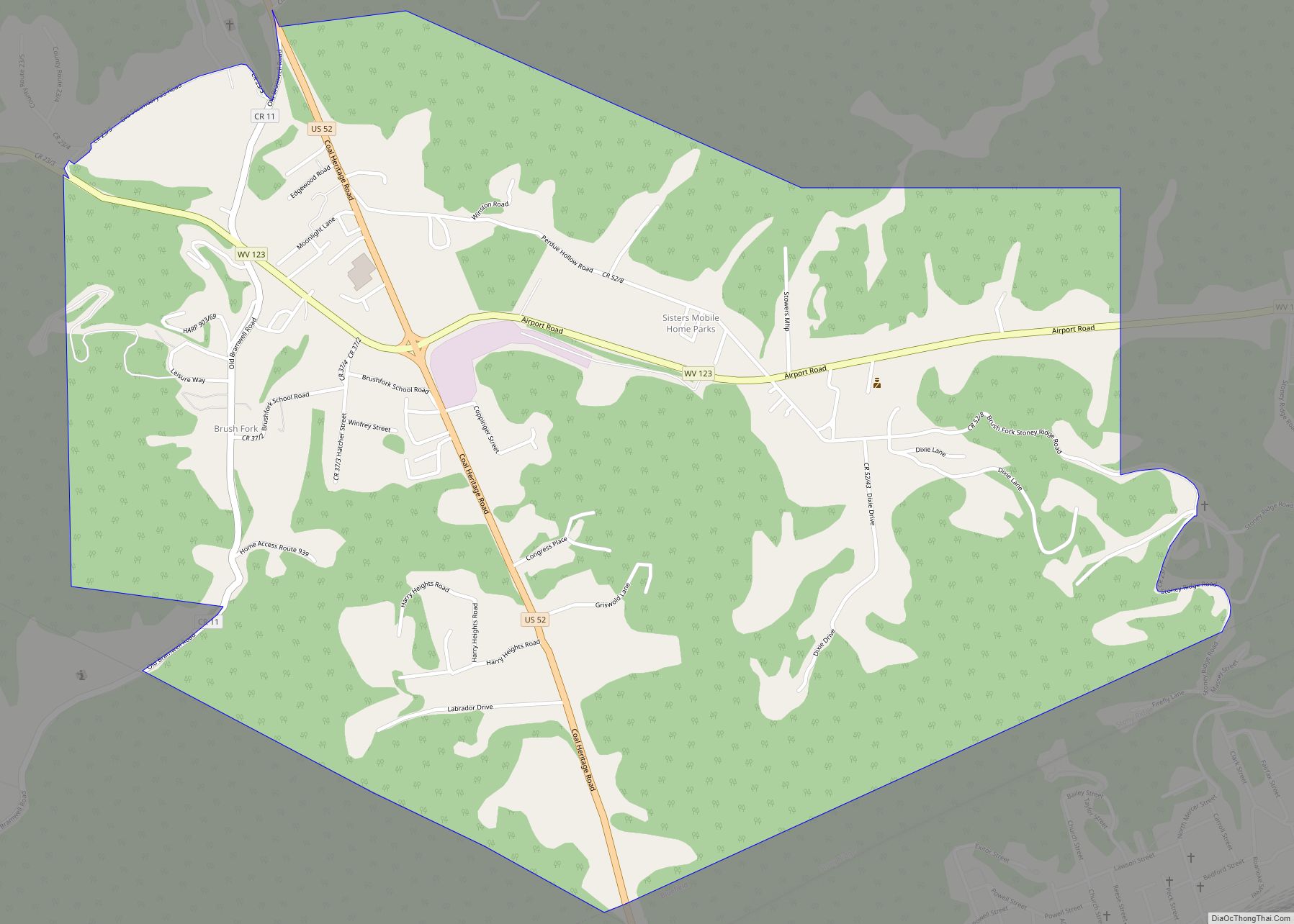
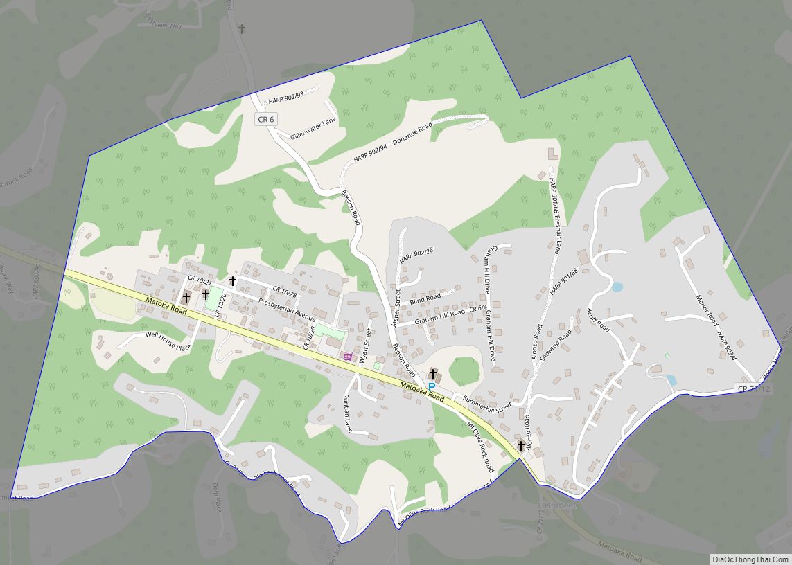
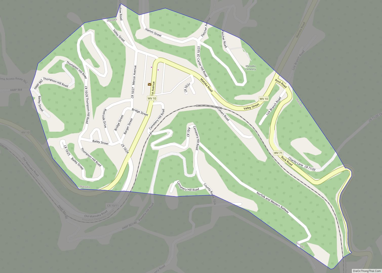
Online Interactive Map
Click on ![]() to view map in "full screen" mode.
to view map in "full screen" mode.
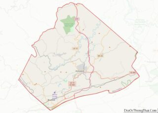
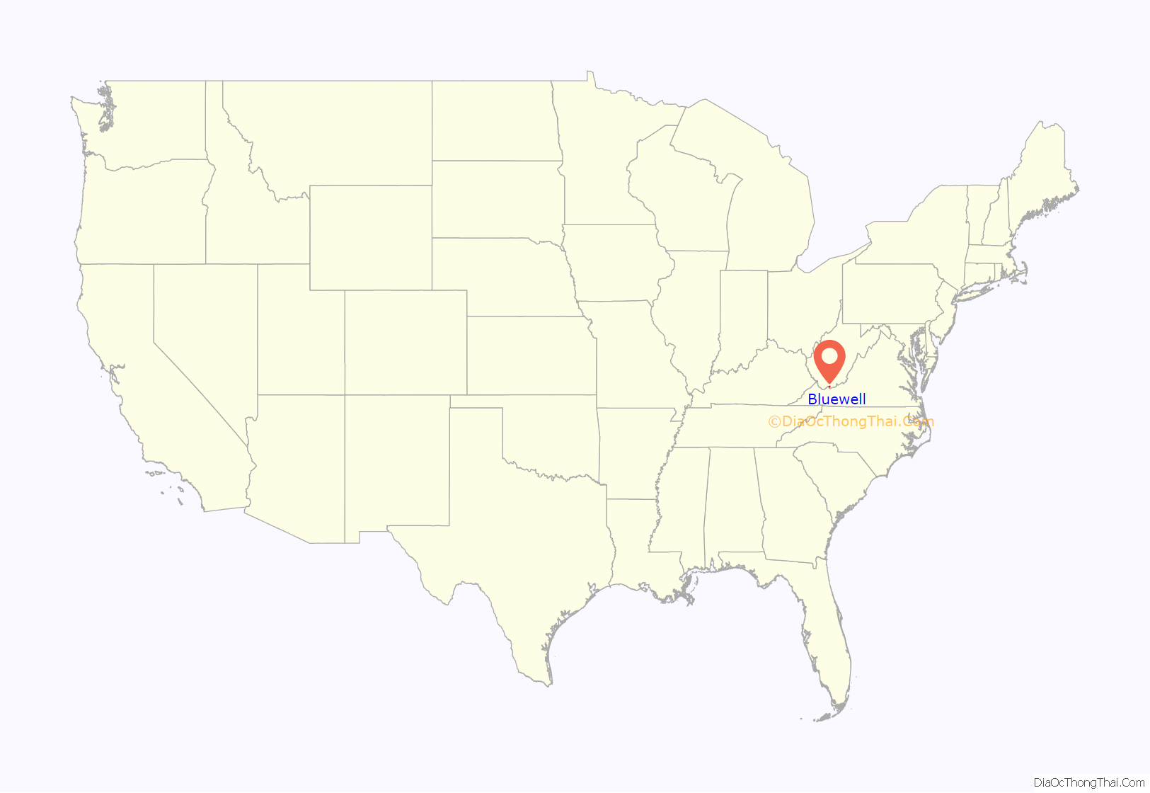
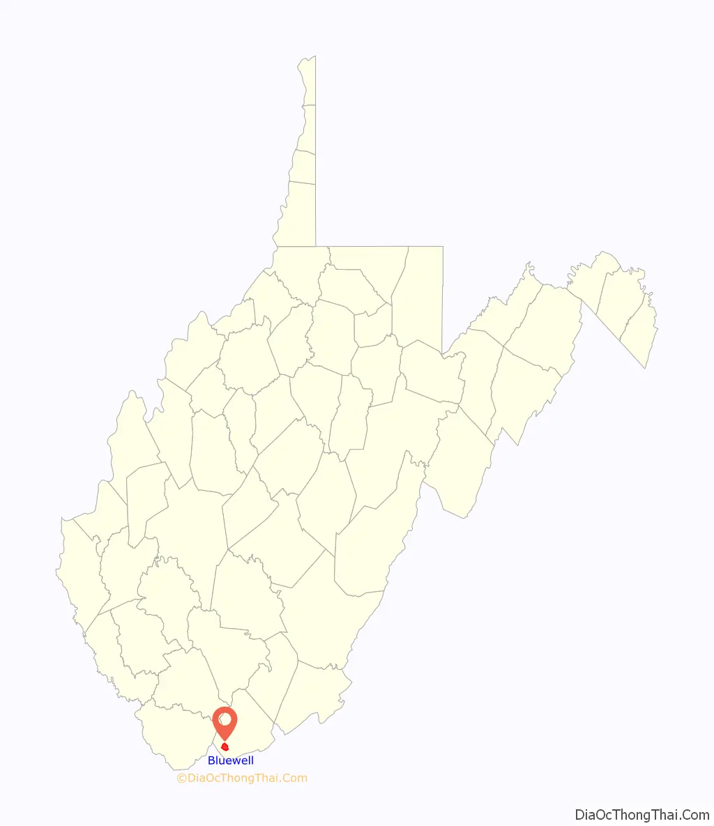
Bluewell location map. Where is Bluewell CDP?
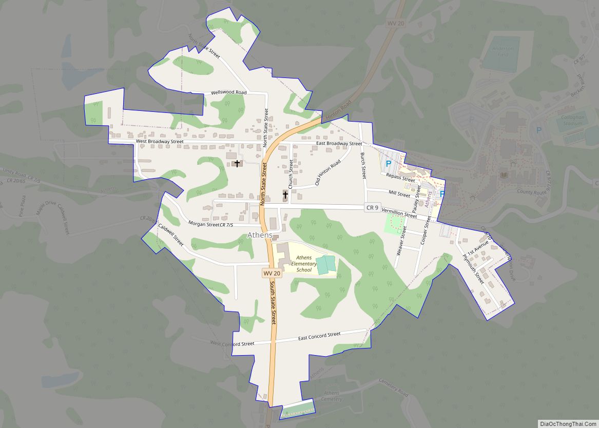
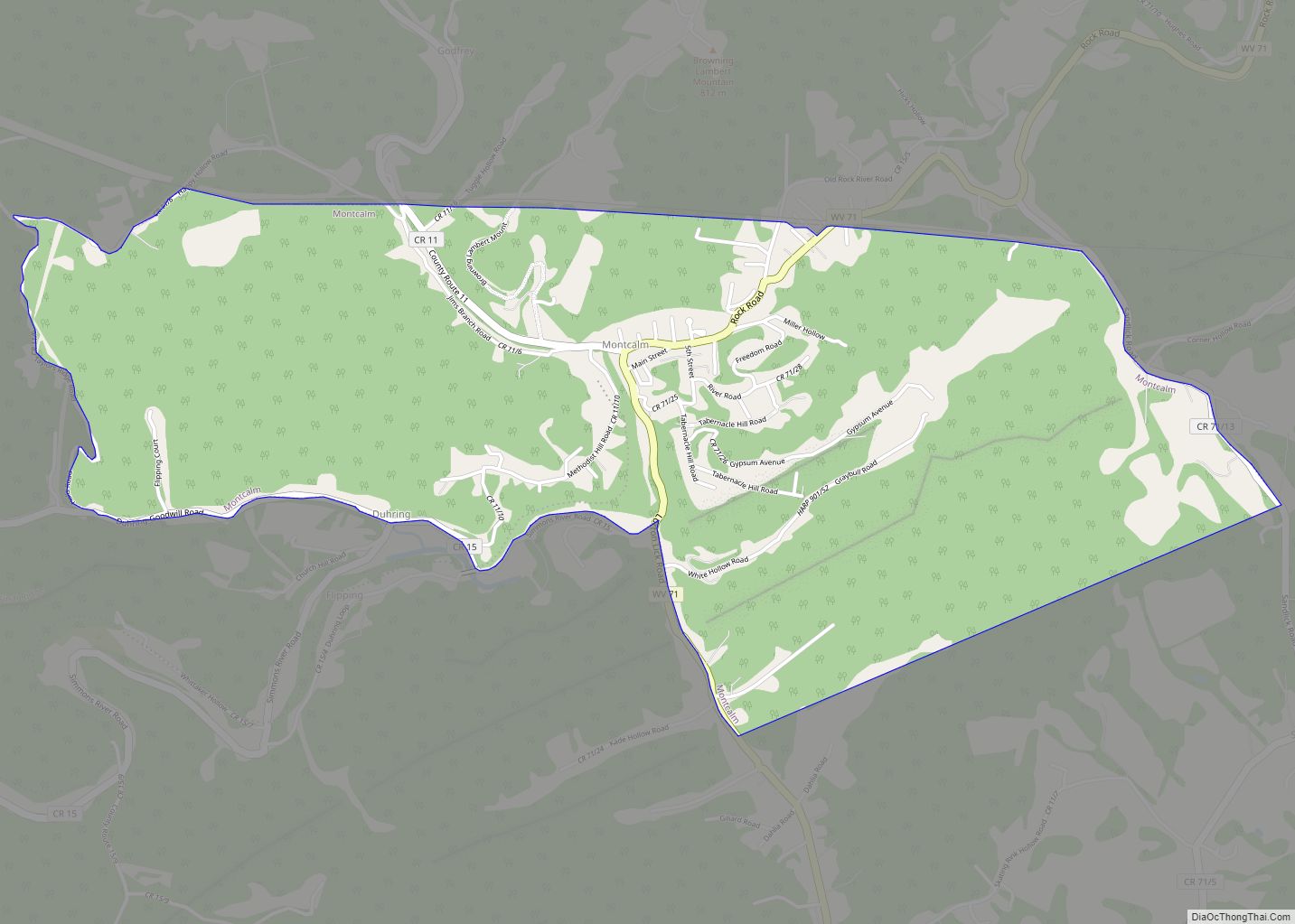
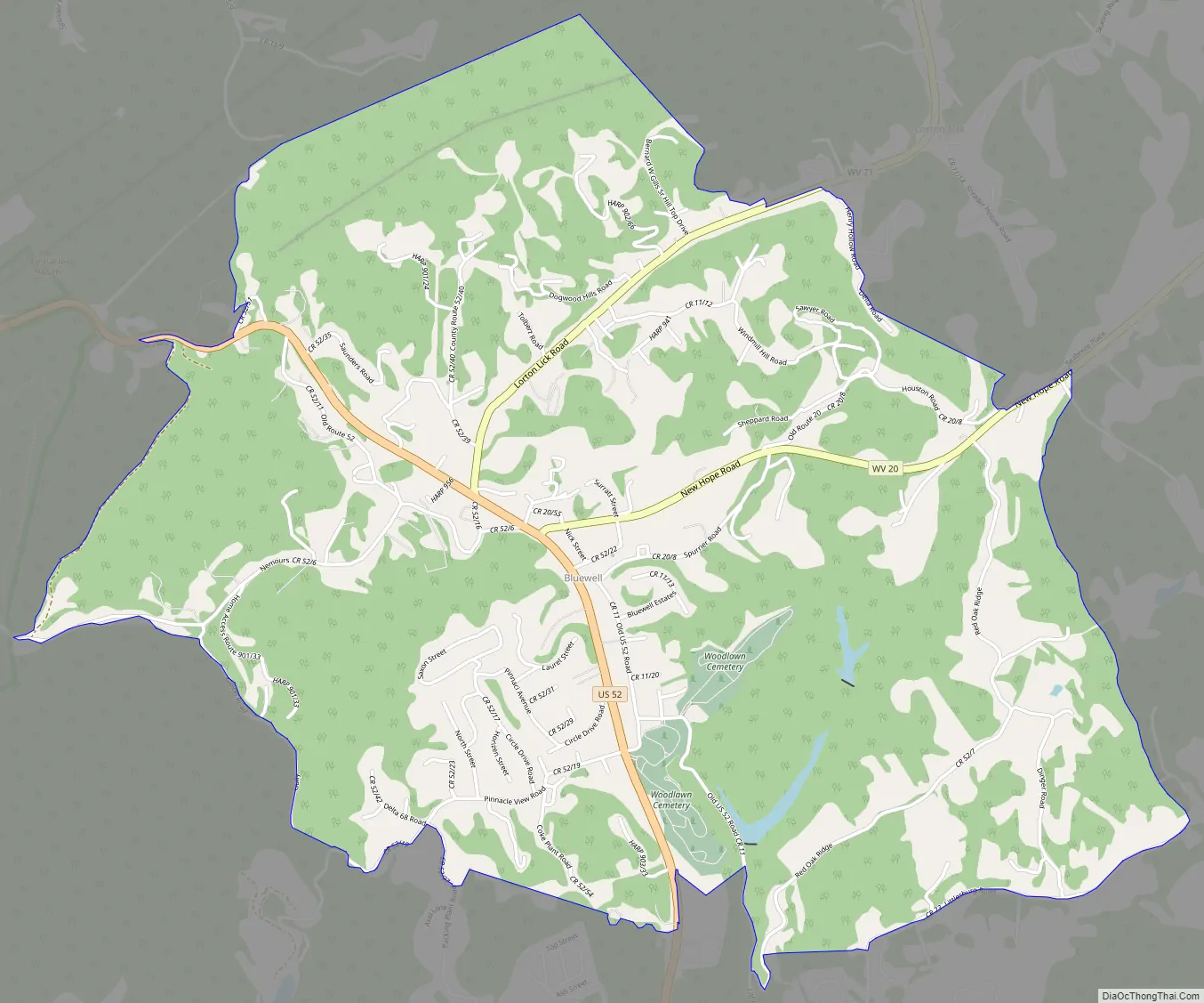
Bluewell Road Map
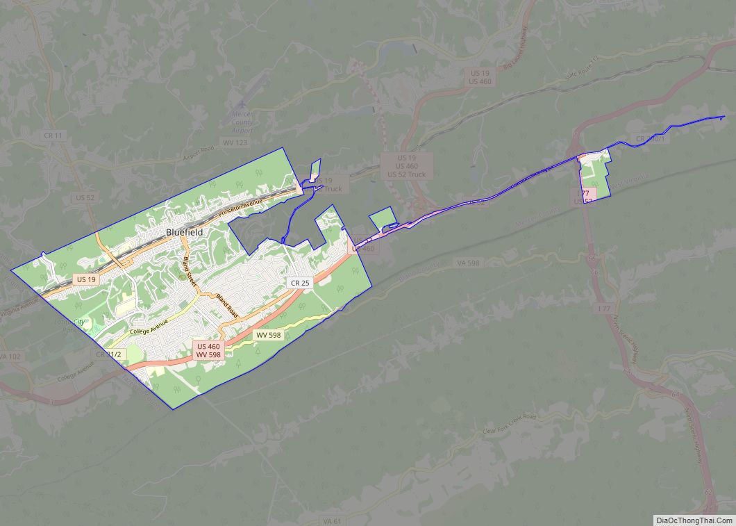
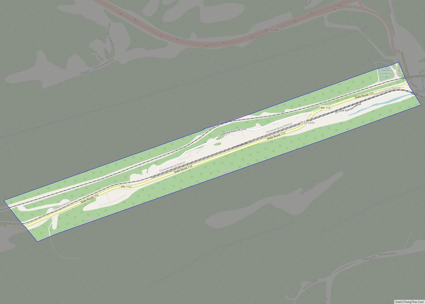
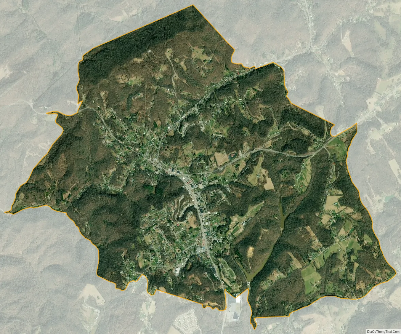
Bluewell city Satellite Map
See also
Map of West Virginia State and its subdivision:- Barbour
- Berkeley
- Boone
- Braxton
- Brooke
- Cabell
- Calhoun
- Clay
- Doddridge
- Fayette
- Gilmer
- Grant
- Greenbrier
- Hampshire
- Hancock
- Hardy
- Harrison
- Jackson
- Jefferson
- Kanawha
- Lewis
- Lincoln
- Logan
- Marion
- Marshall
- Mason
- McDowell
- Mercer
- Mineral
- Mingo
- Monongalia
- Monroe
- Morgan
- Nicholas
- Ohio
- Pendleton
- Pleasants
- Pocahontas
- Preston
- Putnam
- Raleigh
- Randolph
- Ritchie
- Roane
- Summers
- Taylor
- Tucker
- Tyler
- Upshur
- Wayne
- Webster
- Wetzel
- Wirt
- Wood
- Wyoming
- Alabama
- Alaska
- Arizona
- Arkansas
- California
- Colorado
- Connecticut
- Delaware
- District of Columbia
- Florida
- Georgia
- Hawaii
- Idaho
- Illinois
- Indiana
- Iowa
- Kansas
- Kentucky
- Louisiana
- Maine
- Maryland
- Massachusetts
- Michigan
- Minnesota
- Mississippi
- Missouri
- Montana
- Nebraska
- Nevada
- New Hampshire
- New Jersey
- New Mexico
- New York
- North Carolina
- North Dakota
- Ohio
- Oklahoma
- Oregon
- Pennsylvania
- Rhode Island
- South Carolina
- South Dakota
- Tennessee
- Texas
- Utah
- Vermont
- Virginia
- Washington
- West Virginia
- Wisconsin
- Wyoming