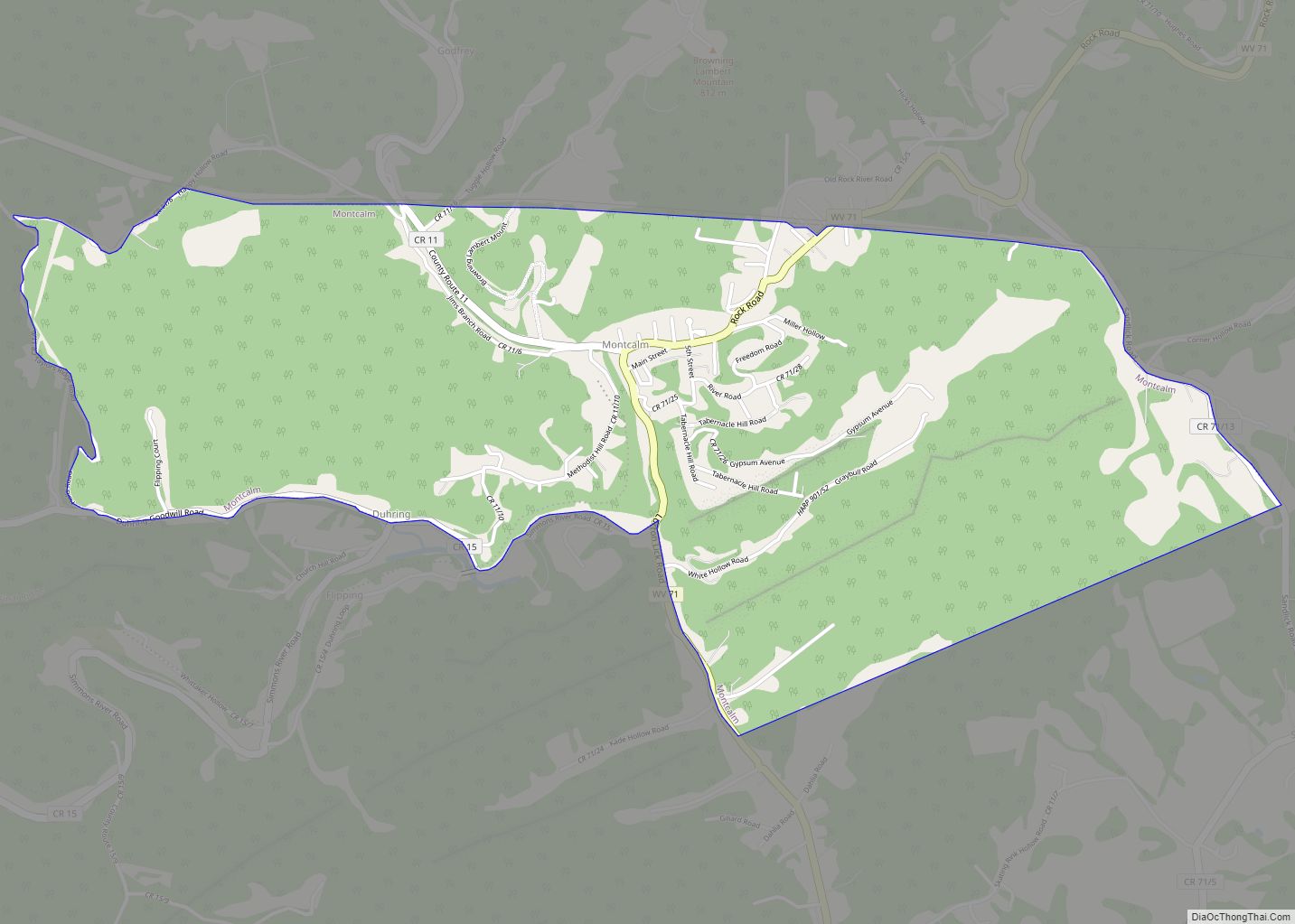
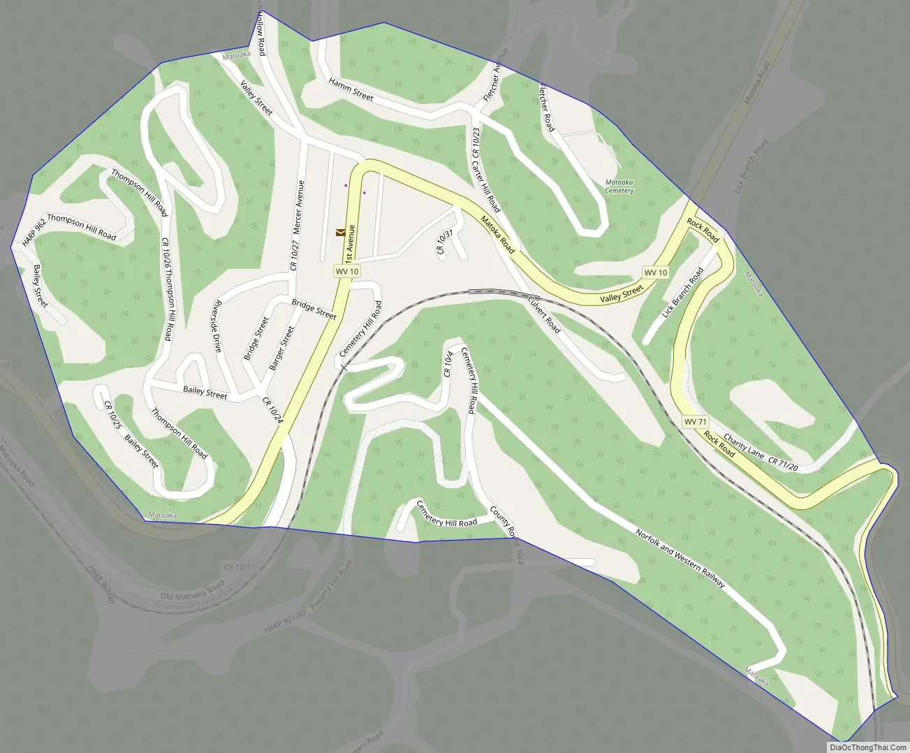
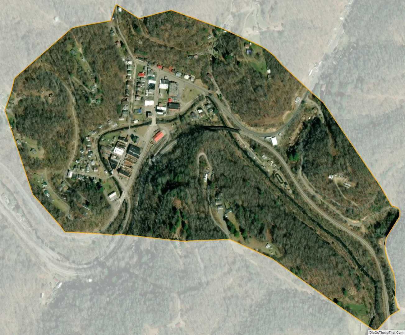
Matoaka is a census-designated place in Mercer County, West Virginia, United States. The population was 227 at the 2010 census. It is part of the Bluefield, WV-VA micropolitan area which has a population of 107,578. This town is named for Chief Powhatan’s daughter Matoaka who was better known by her nickname “Pocahontas”. Matoaka became an unincorporated town when it voted to dissolve its charter in May 2018.
| Name: | Matoaka town |
|---|---|
| LSAD Code: | 43 |
| LSAD Description: | town (suffix) |
| State: | West Virginia |
| County: | Mercer County |
| Elevation: | 2,359 ft (719 m) |
| Total Area: | 0.26 sq mi (0.68 km²) |
| Land Area: | 0.26 sq mi (0.68 km²) |
| Water Area: | 0.00 sq mi (0.00 km²) |
| Total Population: | 227 |
| Population Density: | 765.15/sq mi (295.92/km²) |
| ZIP code: | 24736 |
| Area code: | 304 |
| FIPS code: | 5452420 |
| GNISfeature ID: | 1542868 |
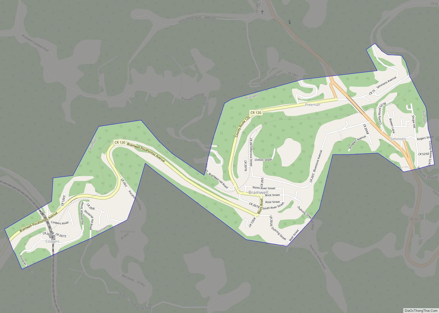
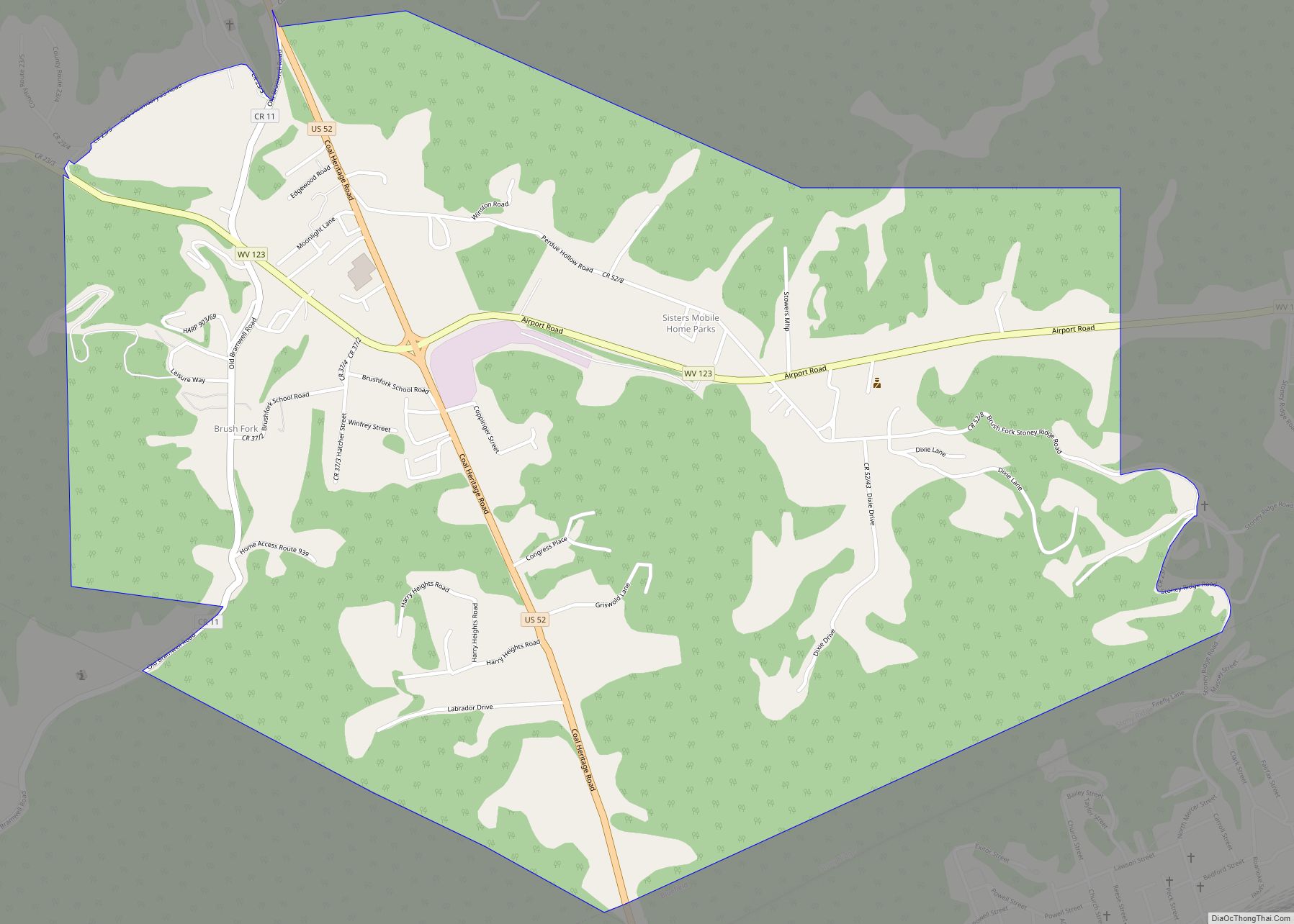
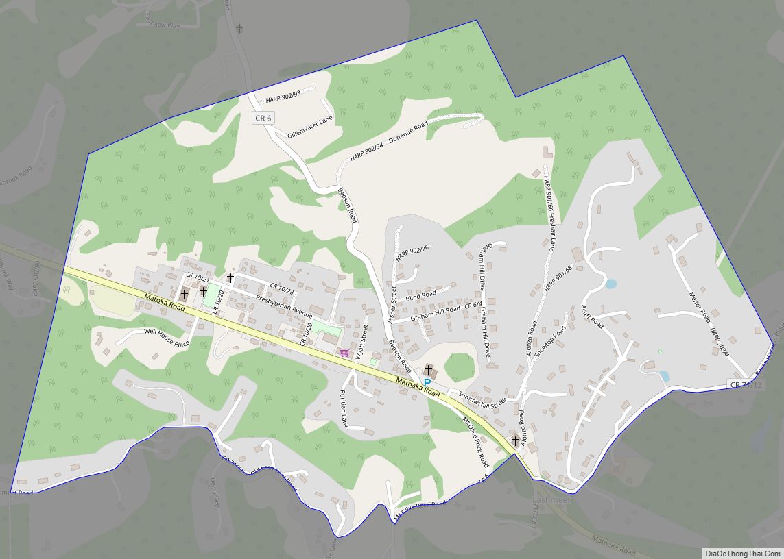
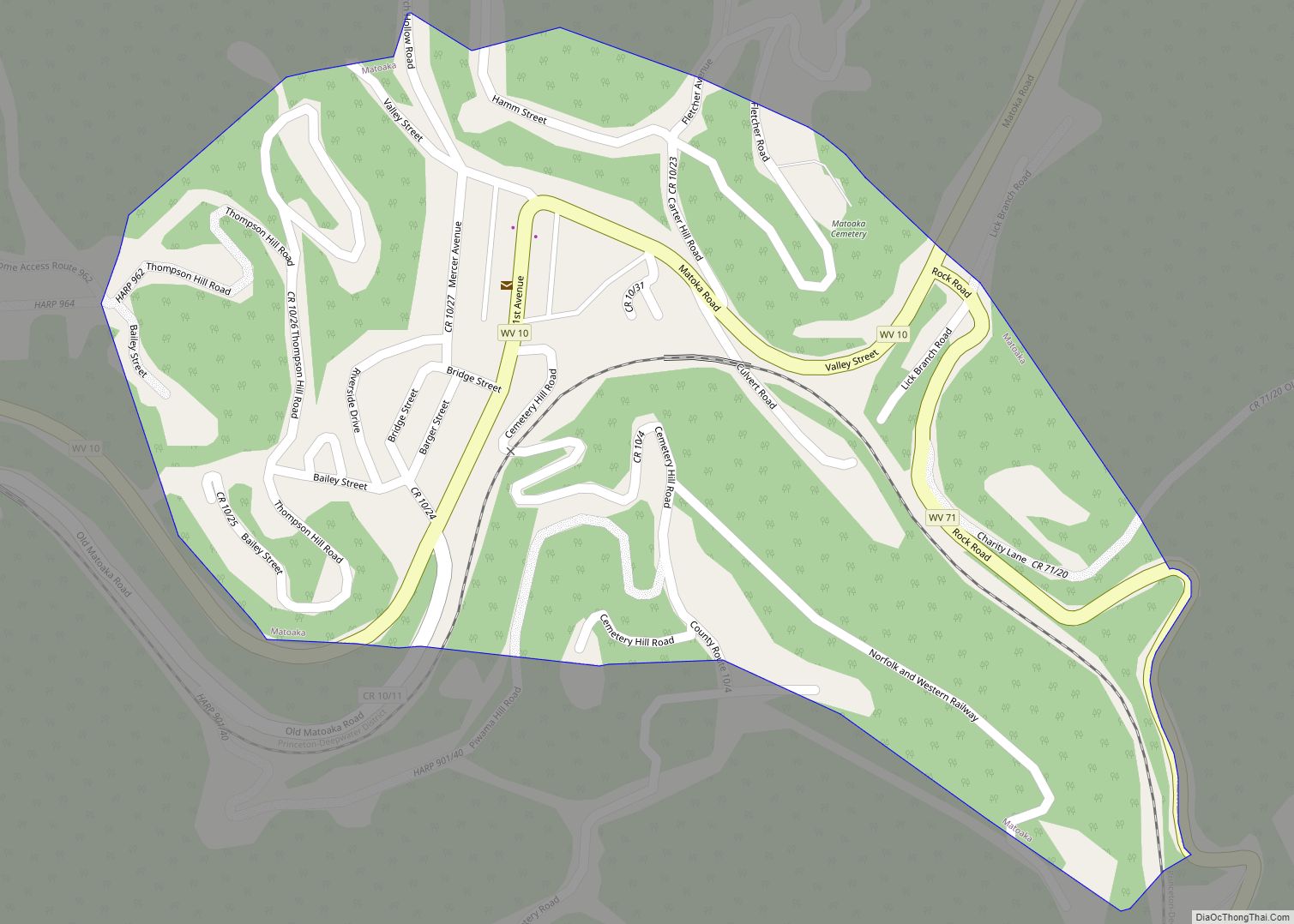
Online Interactive Map
Click on ![]() to view map in "full screen" mode.
to view map in "full screen" mode.
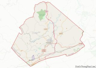
Matoaka location map. Where is Matoaka town?


Matoaka Road Map
Matoaka city Satellite Map
Geography
Matoaka is located at 37°25′7″N 81°14′31″W / 37.41861°N 81.24194°W / 37.41861; -81.24194 (37.418741, -81.242028).
According to the United States Census Bureau, the town has a total area of 0.26 square miles (0.67 km), all land.
Climate
The climate in this area has mild differences between highs and lows, and there is adequate rainfall year-round. According to the Köppen Climate Classification system, Matoaka has a marine west coast climate, abbreviated “Cfb” on climate maps.
See also
Map of West Virginia State and its subdivision:- Barbour
- Berkeley
- Boone
- Braxton
- Brooke
- Cabell
- Calhoun
- Clay
- Doddridge
- Fayette
- Gilmer
- Grant
- Greenbrier
- Hampshire
- Hancock
- Hardy
- Harrison
- Jackson
- Jefferson
- Kanawha
- Lewis
- Lincoln
- Logan
- Marion
- Marshall
- Mason
- McDowell
- Mercer
- Mineral
- Mingo
- Monongalia
- Monroe
- Morgan
- Nicholas
- Ohio
- Pendleton
- Pleasants
- Pocahontas
- Preston
- Putnam
- Raleigh
- Randolph
- Ritchie
- Roane
- Summers
- Taylor
- Tucker
- Tyler
- Upshur
- Wayne
- Webster
- Wetzel
- Wirt
- Wood
- Wyoming
- Alabama
- Alaska
- Arizona
- Arkansas
- California
- Colorado
- Connecticut
- Delaware
- District of Columbia
- Florida
- Georgia
- Hawaii
- Idaho
- Illinois
- Indiana
- Iowa
- Kansas
- Kentucky
- Louisiana
- Maine
- Maryland
- Massachusetts
- Michigan
- Minnesota
- Mississippi
- Missouri
- Montana
- Nebraska
- Nevada
- New Hampshire
- New Jersey
- New Mexico
- New York
- North Carolina
- North Dakota
- Ohio
- Oklahoma
- Oregon
- Pennsylvania
- Rhode Island
- South Carolina
- South Dakota
- Tennessee
- Texas
- Utah
- Vermont
- Virginia
- Washington
- West Virginia
- Wisconsin
- Wyoming