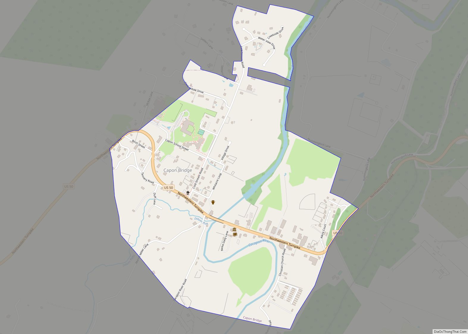
Capon Bridge is a town in eastern Hampshire County, West Virginia, United States, along the Northwestern Turnpike (U.S. Route 50), approximately 20 miles (32 km) west of Winchester, Virginia. The population was 418 at the 2020 census. Originally known as “Glencoe”, Capon Bridge was incorporated in 1902 by the Hampshire County Circuit Court. It is named because of the construction of the bridge over the Cacapon River at that place, the name of the river being derived from the Shawnee Cape-cape-de-hon, meaning “river of medicine water”.
| Name: | Capon Bridge town |
|---|---|
| LSAD Code: | 43 |
| LSAD Description: | town (suffix) |
| State: | West Virginia |
| County: | Hampshire County |
| Elevation: | 791 ft (241 m) |
| Total Area: | 0.73 sq mi (1.90 km²) |
| Land Area: | 0.71 sq mi (1.83 km²) |
| Water Area: | 0.03 sq mi (0.07 km²) |
| Total Population: | 418 |
| Population Density: | 517.68/sq mi (199.88/km²) |
| ZIP code: | 26711 |
| Area code: | 304 |
| FIPS code: | 5413108 |
| GNISfeature ID: | 1537027 |
| Website: | townofcaponbridge.wv.gov/Pages/default.aspx |
Online Interactive Map
Click on ![]() to view map in "full screen" mode.
to view map in "full screen" mode.
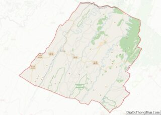
Capon Bridge location map. Where is Capon Bridge town?
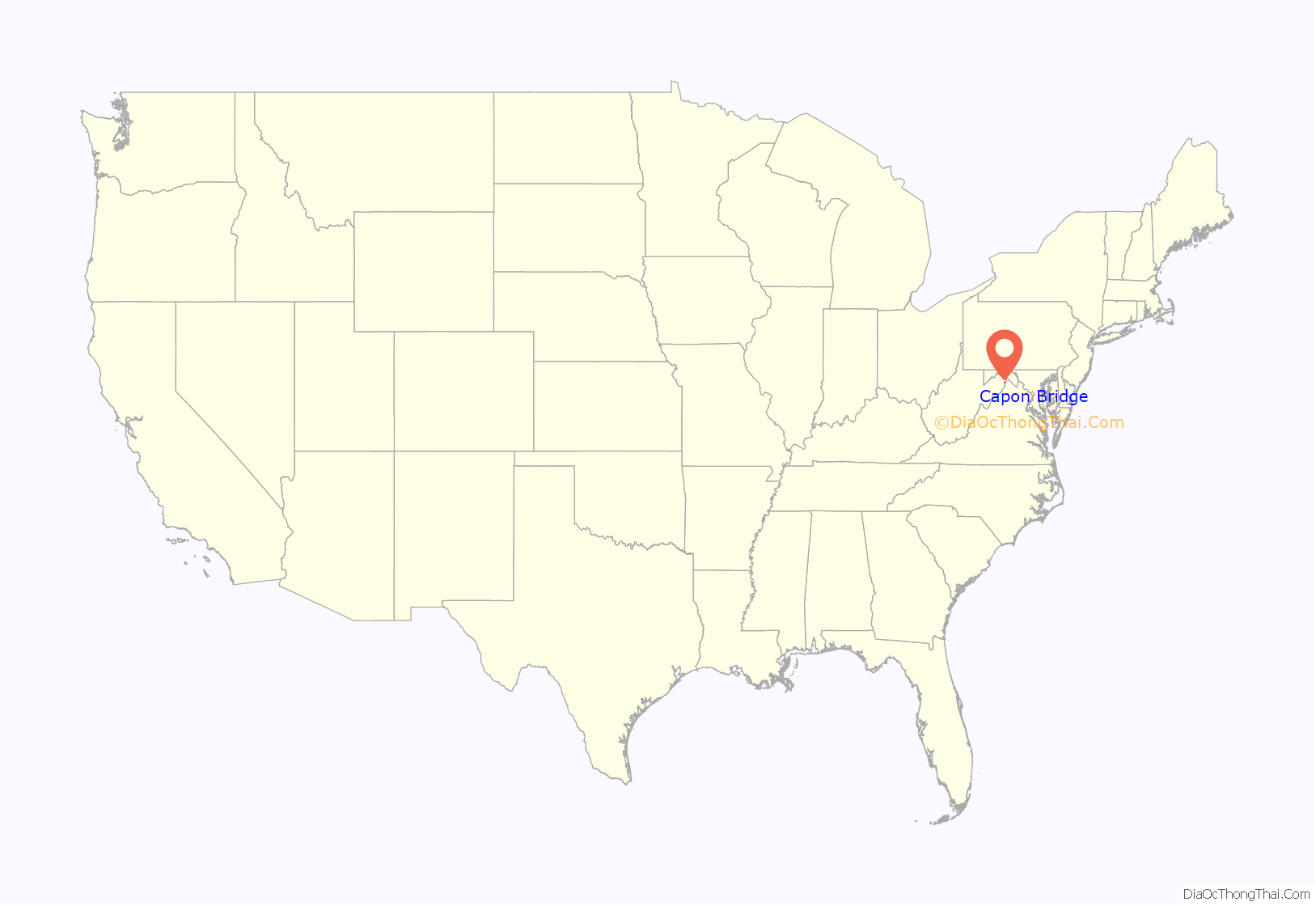
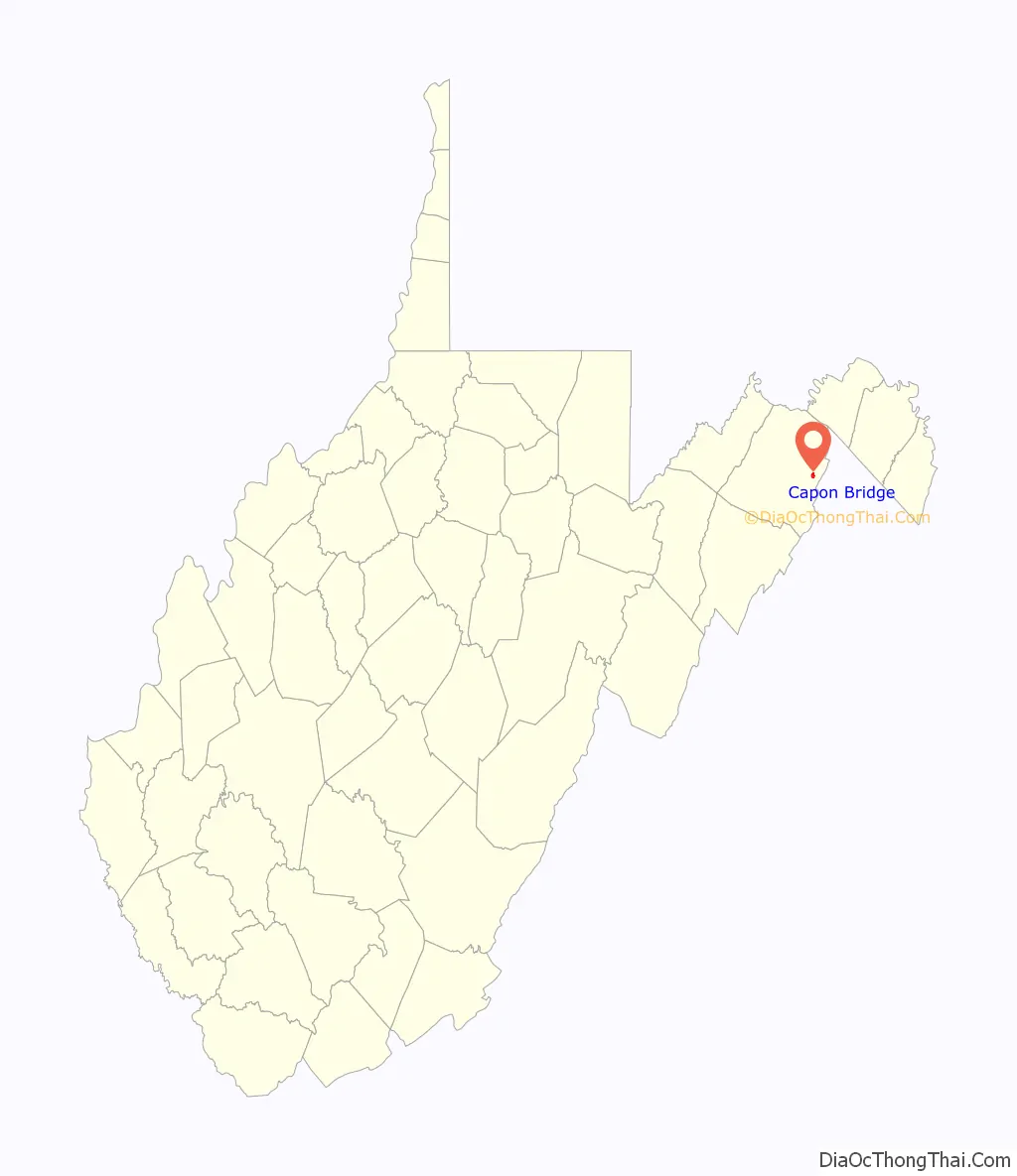
Capon Bridge Road Map
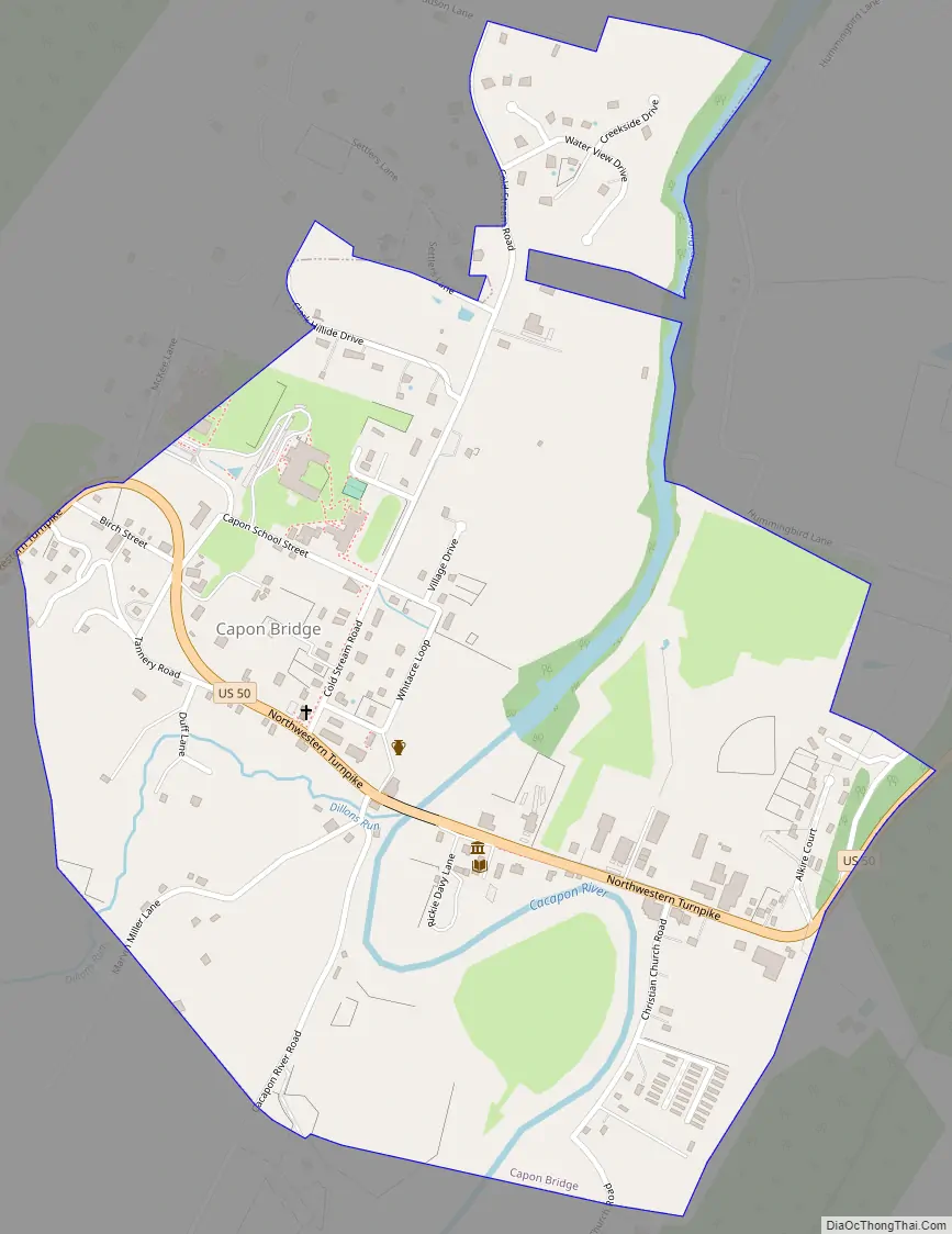
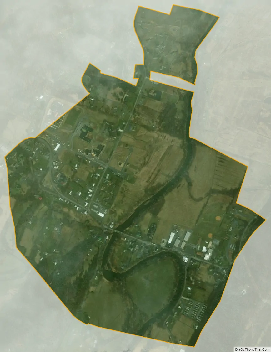
Capon Bridge city Satellite Map
Geography
Capon Bridge is located in eastern Hampshire County at 39°17′54″N 78°26′12″W / 39.29833°N 78.43667°W / 39.29833; -78.43667 (39.298405, -78.436797). U.S. Route 50 leads east 3 miles (5 km) to the Virginia and 19 miles (31 km) to the center of Winchester, Virginia. To the west, US 50 leads 22 miles (35 km) to Romney, the Hampshire county seat.
According to the United States Census Bureau, the town has a total area of 0.70 square miles (1.81 km), of which 0.67 square miles (1.74 km) are land and 0.03 square miles (0.08 km) are water.
See also
Map of West Virginia State and its subdivision:- Barbour
- Berkeley
- Boone
- Braxton
- Brooke
- Cabell
- Calhoun
- Clay
- Doddridge
- Fayette
- Gilmer
- Grant
- Greenbrier
- Hampshire
- Hancock
- Hardy
- Harrison
- Jackson
- Jefferson
- Kanawha
- Lewis
- Lincoln
- Logan
- Marion
- Marshall
- Mason
- McDowell
- Mercer
- Mineral
- Mingo
- Monongalia
- Monroe
- Morgan
- Nicholas
- Ohio
- Pendleton
- Pleasants
- Pocahontas
- Preston
- Putnam
- Raleigh
- Randolph
- Ritchie
- Roane
- Summers
- Taylor
- Tucker
- Tyler
- Upshur
- Wayne
- Webster
- Wetzel
- Wirt
- Wood
- Wyoming
- Alabama
- Alaska
- Arizona
- Arkansas
- California
- Colorado
- Connecticut
- Delaware
- District of Columbia
- Florida
- Georgia
- Hawaii
- Idaho
- Illinois
- Indiana
- Iowa
- Kansas
- Kentucky
- Louisiana
- Maine
- Maryland
- Massachusetts
- Michigan
- Minnesota
- Mississippi
- Missouri
- Montana
- Nebraska
- Nevada
- New Hampshire
- New Jersey
- New Mexico
- New York
- North Carolina
- North Dakota
- Ohio
- Oklahoma
- Oregon
- Pennsylvania
- Rhode Island
- South Carolina
- South Dakota
- Tennessee
- Texas
- Utah
- Vermont
- Virginia
- Washington
- West Virginia
- Wisconsin
- Wyoming