Cedar Grove is a town in Kanawha County, West Virginia, United States. The population was 714 at the 2020 census. Cedar Grove was incorporated in 1902. Its name is derived from the time the town was established, when a large juniper forest, misidentified as cedars by early settlers, was growing at that location. Cedar Grove is the site of Fort Kelley and the oldest settlement in the Kanawha Valley, dating from 1773. Landmarks located here include the Tompkins Home (1844) and the Old Brick Church (1853). The current mayor is James Hudnall.
| Name: | Cedar Grove town |
|---|---|
| LSAD Code: | 43 |
| LSAD Description: | town (suffix) |
| State: | West Virginia |
| County: | Kanawha County |
| Elevation: | 614 ft (187 m) |
| Total Area: | 0.72 sq mi (1.86 km²) |
| Land Area: | 0.72 sq mi (1.86 km²) |
| Water Area: | 0.00 sq mi (0.00 km²) |
| Total Population: | 714 |
| ZIP code: | 25039 |
| Area code: | 304 |
| FIPS code: | 5413924 |
| GNISfeature ID: | 1537132 |
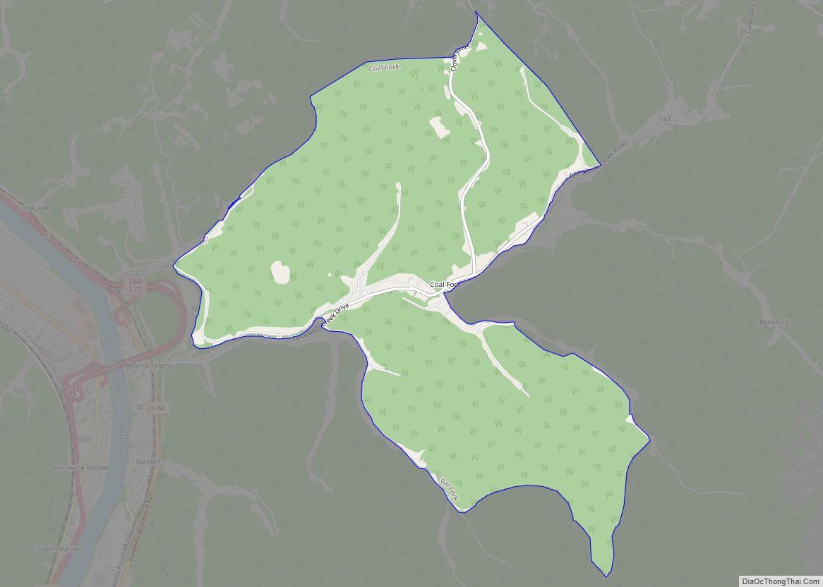
Online Interactive Map
Click on ![]() to view map in "full screen" mode.
to view map in "full screen" mode.
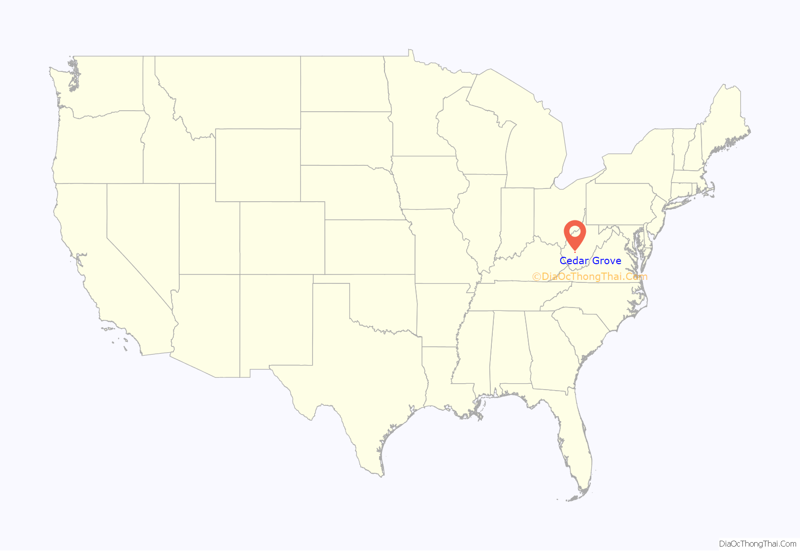
Cedar Grove location map. Where is Cedar Grove town?
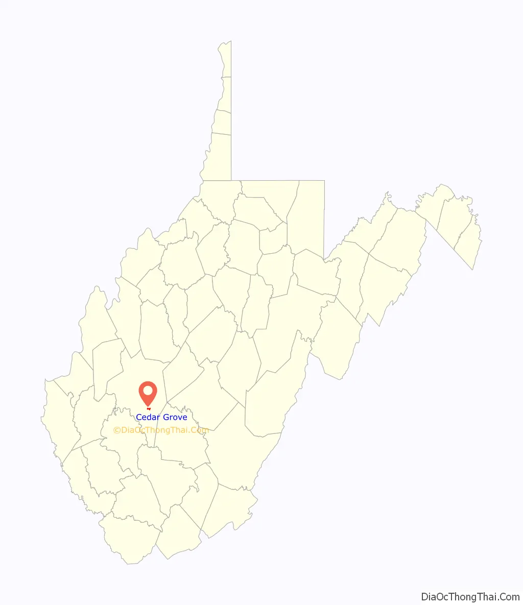
Cedar Grove Road Map
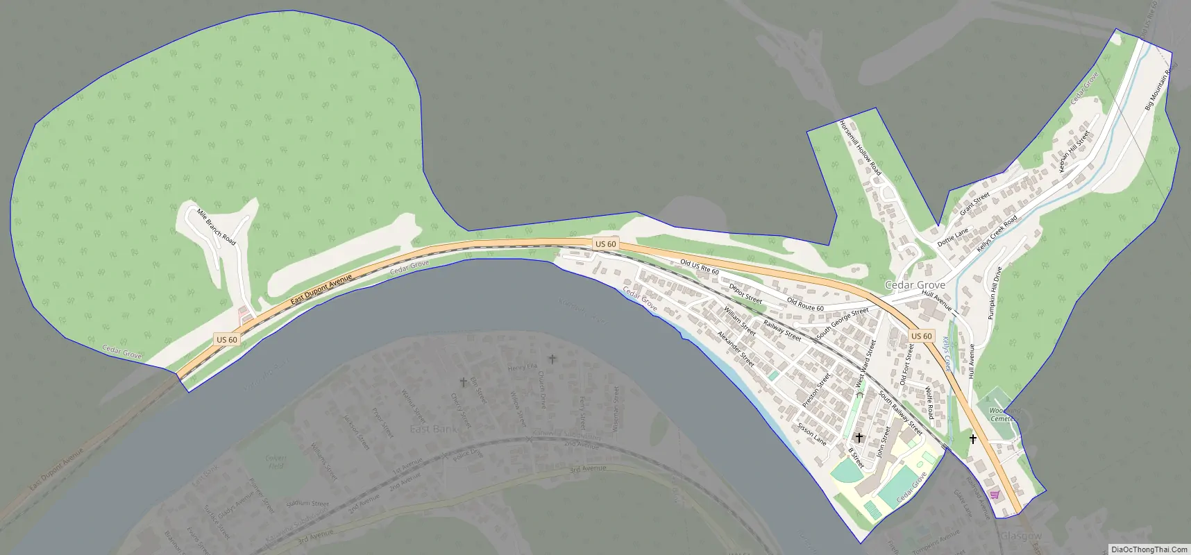
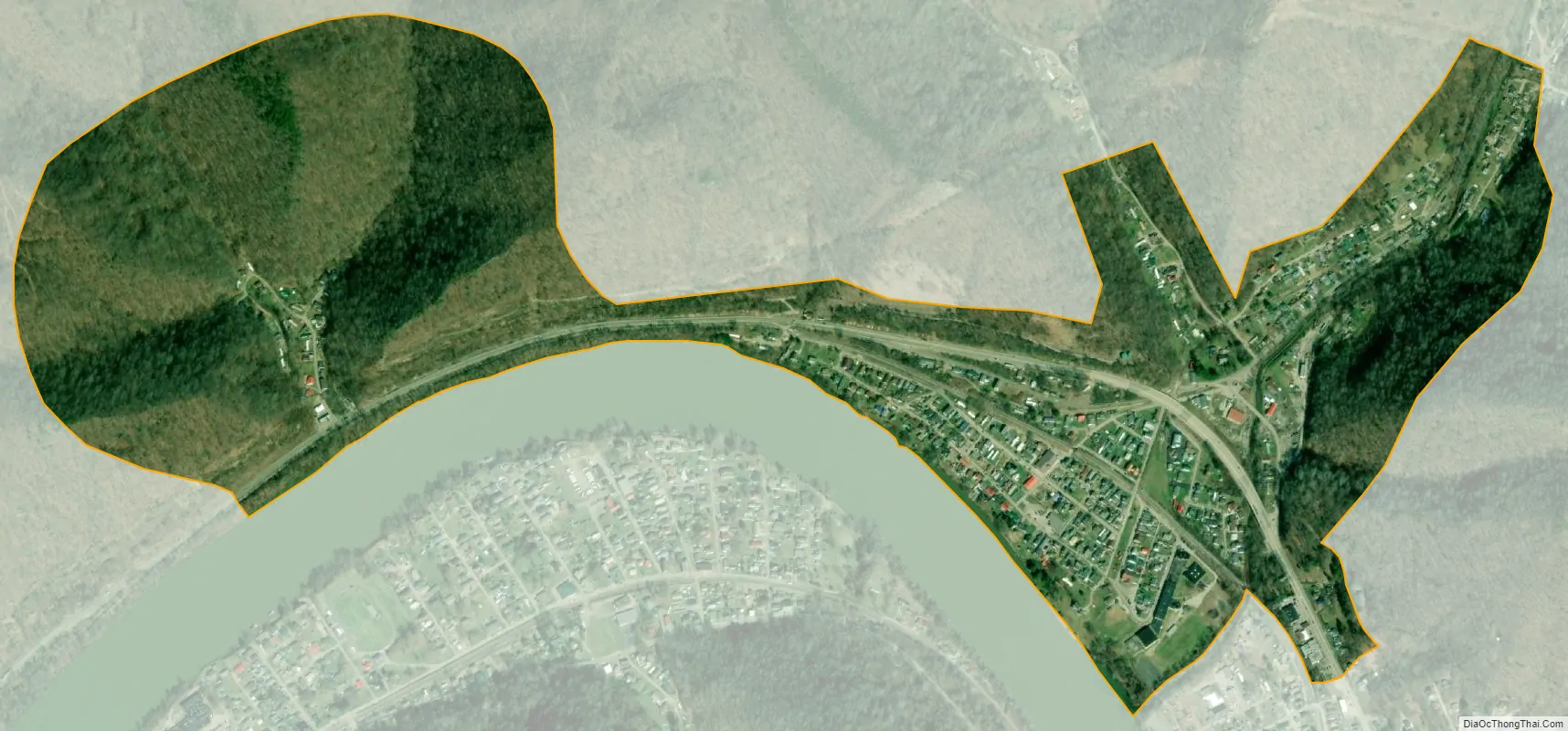
Cedar Grove city Satellite Map
Geography
Cedar Grove is located at 38°13′12″N 81°25′46″W / 38.22000°N 81.42944°W / 38.22000; -81.42944 (38.220096, -81.429449).
According to the United States Census Bureau, the town has a total area of 0.72 square miles (1.86 km), all land.
See also
Map of West Virginia State and its subdivision:- Barbour
- Berkeley
- Boone
- Braxton
- Brooke
- Cabell
- Calhoun
- Clay
- Doddridge
- Fayette
- Gilmer
- Grant
- Greenbrier
- Hampshire
- Hancock
- Hardy
- Harrison
- Jackson
- Jefferson
- Kanawha
- Lewis
- Lincoln
- Logan
- Marion
- Marshall
- Mason
- McDowell
- Mercer
- Mineral
- Mingo
- Monongalia
- Monroe
- Morgan
- Nicholas
- Ohio
- Pendleton
- Pleasants
- Pocahontas
- Preston
- Putnam
- Raleigh
- Randolph
- Ritchie
- Roane
- Summers
- Taylor
- Tucker
- Tyler
- Upshur
- Wayne
- Webster
- Wetzel
- Wirt
- Wood
- Wyoming
- Alabama
- Alaska
- Arizona
- Arkansas
- California
- Colorado
- Connecticut
- Delaware
- District of Columbia
- Florida
- Georgia
- Hawaii
- Idaho
- Illinois
- Indiana
- Iowa
- Kansas
- Kentucky
- Louisiana
- Maine
- Maryland
- Massachusetts
- Michigan
- Minnesota
- Mississippi
- Missouri
- Montana
- Nebraska
- Nevada
- New Hampshire
- New Jersey
- New Mexico
- New York
- North Carolina
- North Dakota
- Ohio
- Oklahoma
- Oregon
- Pennsylvania
- Rhode Island
- South Carolina
- South Dakota
- Tennessee
- Texas
- Utah
- Vermont
- Virginia
- Washington
- West Virginia
- Wisconsin
- Wyoming