Logan is a city in Logan County, West Virginia, United States, along the Guyandotte River. The population was 1,438 at the 2020 census. It is the county seat of Logan County.
| Name: | Logan city |
|---|---|
| LSAD Code: | 25 |
| LSAD Description: | city (suffix) |
| State: | West Virginia |
| County: | Logan County |
| Elevation: | 679 ft (207 m) |
| Total Area: | 1.23 sq mi (3.20 km²) |
| Land Area: | 1.15 sq mi (2.97 km²) |
| Water Area: | 0.09 sq mi (0.22 km²) |
| Total Population: | 1,438 |
| Population Density: | 1,280.49/sq mi (494.59/km²) |
| ZIP code: | 25601 |
| Area code: | 304 & 681 |
| FIPS code: | 5448148 |
| GNISfeature ID: | 1542310 |
Online Interactive Map
Click on ![]() to view map in "full screen" mode.
to view map in "full screen" mode.
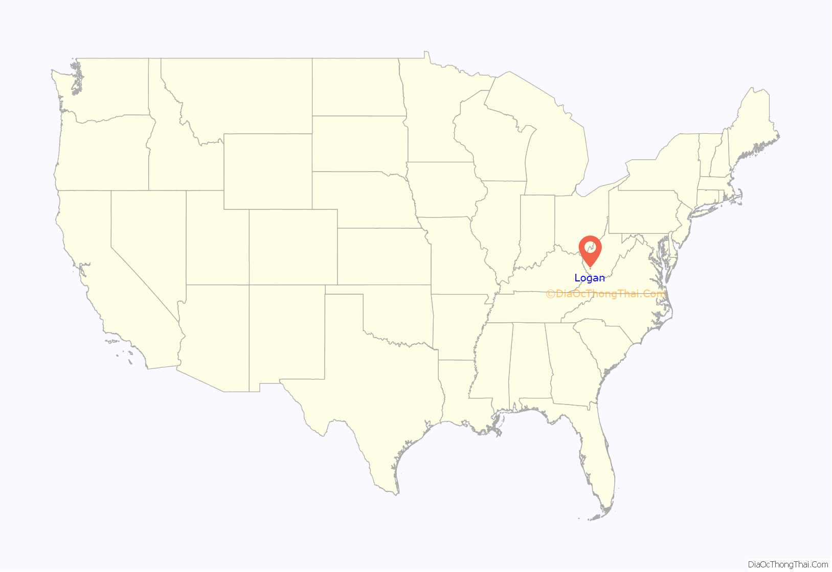
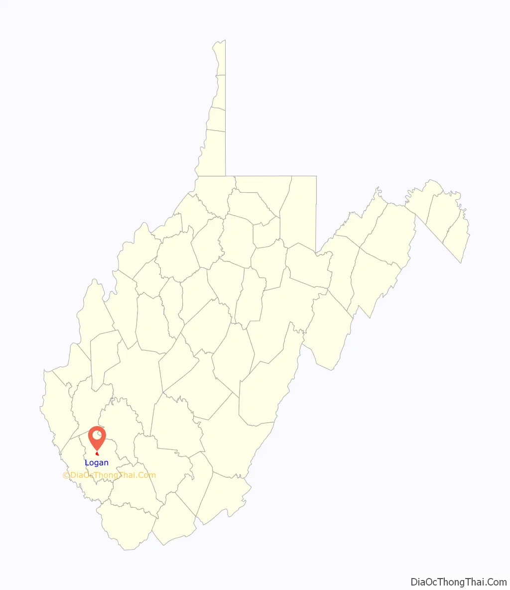
Logan location map. Where is Logan city?
History
What is now Logan was initially called “Islands of the Guyandot” by explorers who identified the site in the 1780s. In 1827, a town was laid out at the site to serve as a county seat for Logan County, which had been established in 1824. The city was initially known as “Lawsonsville” after Anthony Lawson, an early merchant, but was shortened to “Lawnsville.” In the early 1850s, Thomas Dunn English, a poet and future congressman, led efforts to reorganize the town. When the town incorporated in 1853, it was renamed “Aracoma” after the Shawnee chief Cornstalk’s daughter, who had been killed by settlers in the area in 1780. The city was renamed “Logan” in 1907 after the Mingo leader, Chief Logan.
Logan grew continuously during the late 19th and early 20th centuries as a hub of the regional coal industry. At its height in 1940, the city had a population of over 5,000, and was home to numerous businesses, including furniture stores, hotels, banks, and car dealerships. Logan began to decline following World War II, due in large part to the increased mechanization of the coal industry.
The Chafin House, was listed on the National Register of Historic Places in 1994. Logan was home to the Logan Indians, a minor league baseball team, from 1937 to 1942.
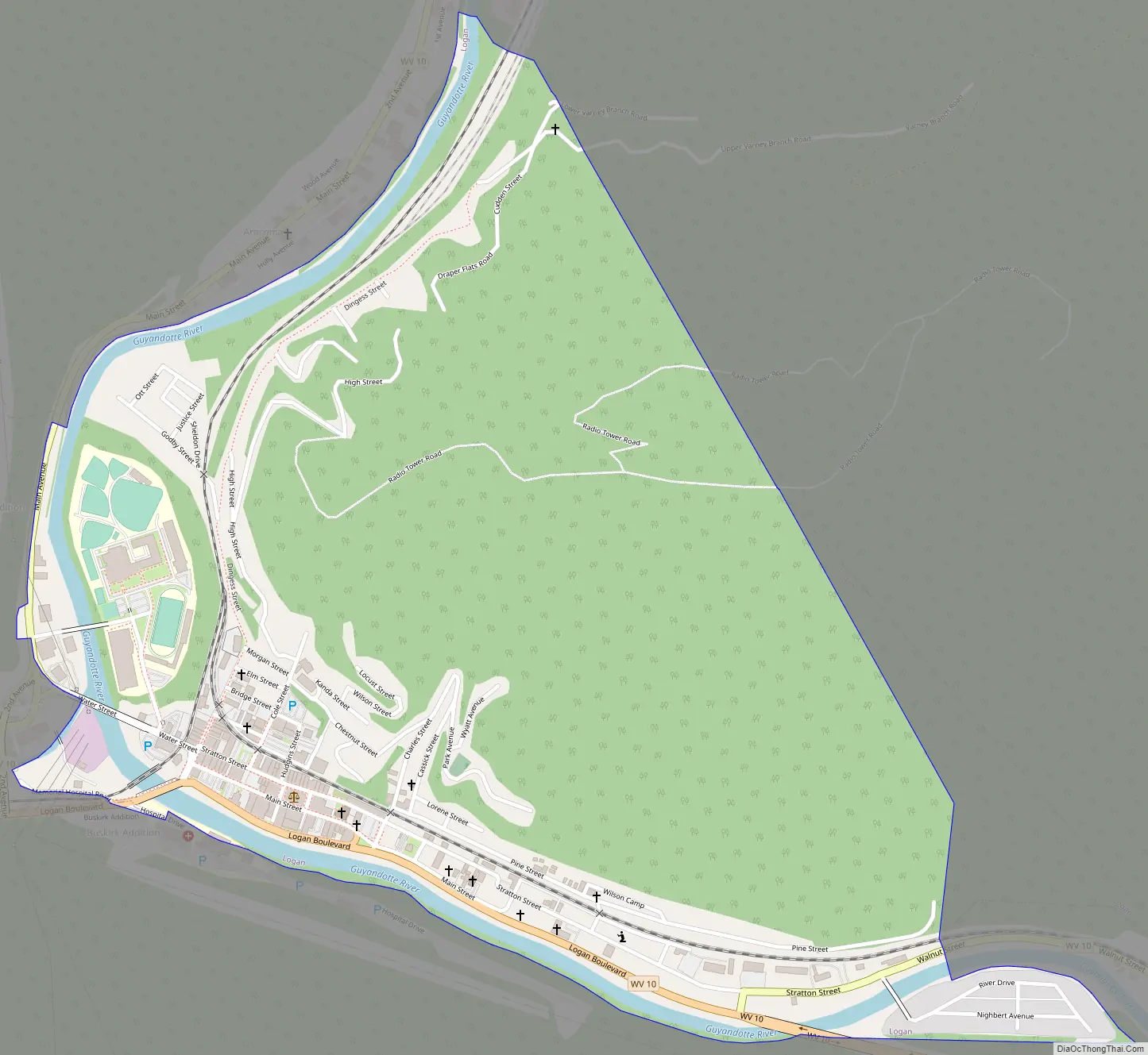
Logan Road Map
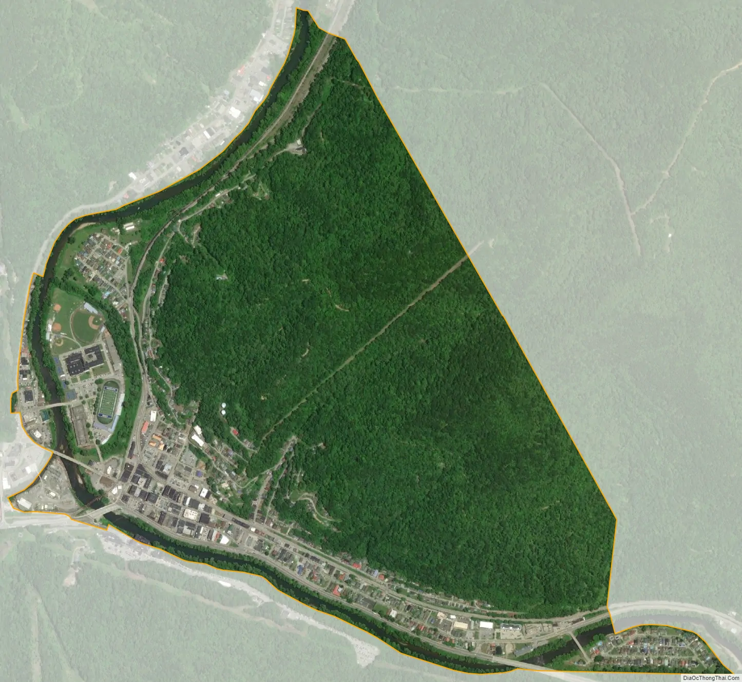
Logan city Satellite Map
Geography
Logan is located at the confluence of the Guyandotte River and Island Creek.
According to the United States Census Bureau, the city has a total area of 1.24 square miles (3.21 km), of which 1.15 square miles (2.98 km) is land and 0.09 square miles (0.23 km) is water.
Climate
See also
Map of West Virginia State and its subdivision:- Barbour
- Berkeley
- Boone
- Braxton
- Brooke
- Cabell
- Calhoun
- Clay
- Doddridge
- Fayette
- Gilmer
- Grant
- Greenbrier
- Hampshire
- Hancock
- Hardy
- Harrison
- Jackson
- Jefferson
- Kanawha
- Lewis
- Lincoln
- Logan
- Marion
- Marshall
- Mason
- McDowell
- Mercer
- Mineral
- Mingo
- Monongalia
- Monroe
- Morgan
- Nicholas
- Ohio
- Pendleton
- Pleasants
- Pocahontas
- Preston
- Putnam
- Raleigh
- Randolph
- Ritchie
- Roane
- Summers
- Taylor
- Tucker
- Tyler
- Upshur
- Wayne
- Webster
- Wetzel
- Wirt
- Wood
- Wyoming
- Alabama
- Alaska
- Arizona
- Arkansas
- California
- Colorado
- Connecticut
- Delaware
- District of Columbia
- Florida
- Georgia
- Hawaii
- Idaho
- Illinois
- Indiana
- Iowa
- Kansas
- Kentucky
- Louisiana
- Maine
- Maryland
- Massachusetts
- Michigan
- Minnesota
- Mississippi
- Missouri
- Montana
- Nebraska
- Nevada
- New Hampshire
- New Jersey
- New Mexico
- New York
- North Carolina
- North Dakota
- Ohio
- Oklahoma
- Oregon
- Pennsylvania
- Rhode Island
- South Carolina
- South Dakota
- Tennessee
- Texas
- Utah
- Vermont
- Virginia
- Washington
- West Virginia
- Wisconsin
- Wyoming


