Danville is a town in Boone County, West Virginia, United States. The population was 660 at the 2020 census. Danville was incorporated in 1911 and named for Dan Rock, the town’s first postmaster. Danville was formerly known as Newport and Red House.
| Name: | Danville town |
|---|---|
| LSAD Code: | 43 |
| LSAD Description: | town (suffix) |
| State: | West Virginia |
| County: | Boone County |
| Elevation: | 699 ft (213 m) |
| Total Area: | 1.08 sq mi (2.81 km²) |
| Land Area: | 1.07 sq mi (2.77 km²) |
| Water Area: | 0.01 sq mi (0.04 km²) |
| Total Population: | 660 |
| Population Density: | 562.62/sq mi (217.24/km²) |
| ZIP code: | 25053 |
| Area code: | 304 |
| FIPS code: | 5420212 |
| GNISfeature ID: | 1537999 |
| Website: | local.wv.gov/danville/ |
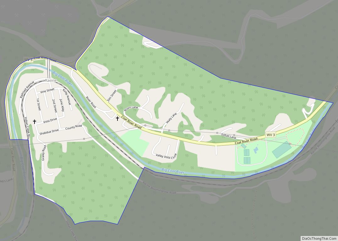
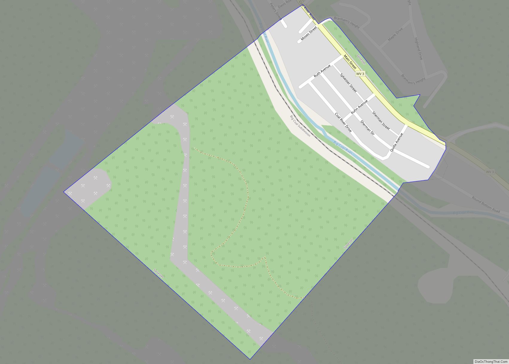
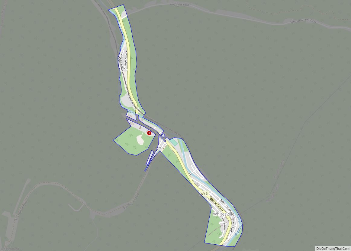
Online Interactive Map
Click on ![]() to view map in "full screen" mode.
to view map in "full screen" mode.
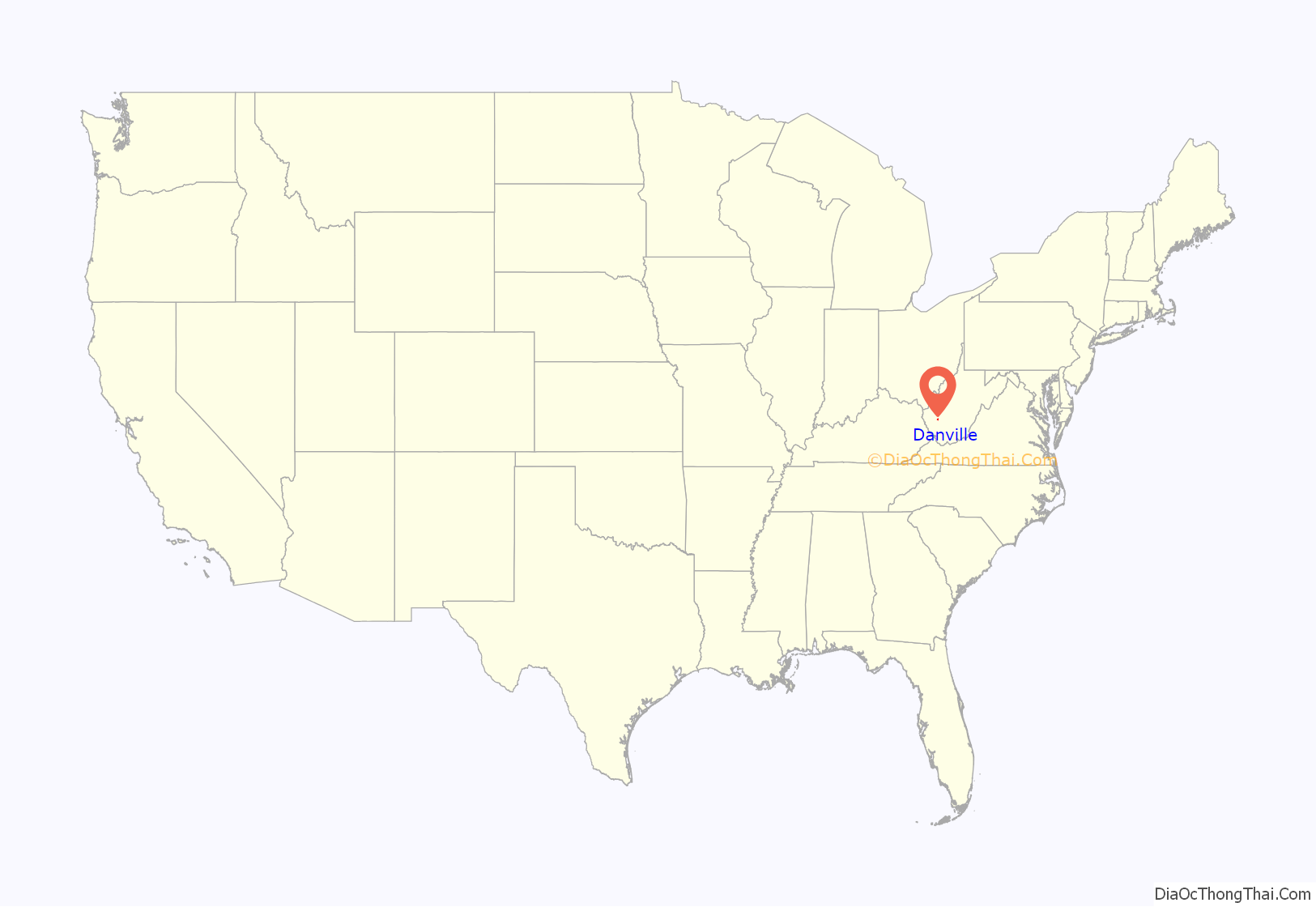
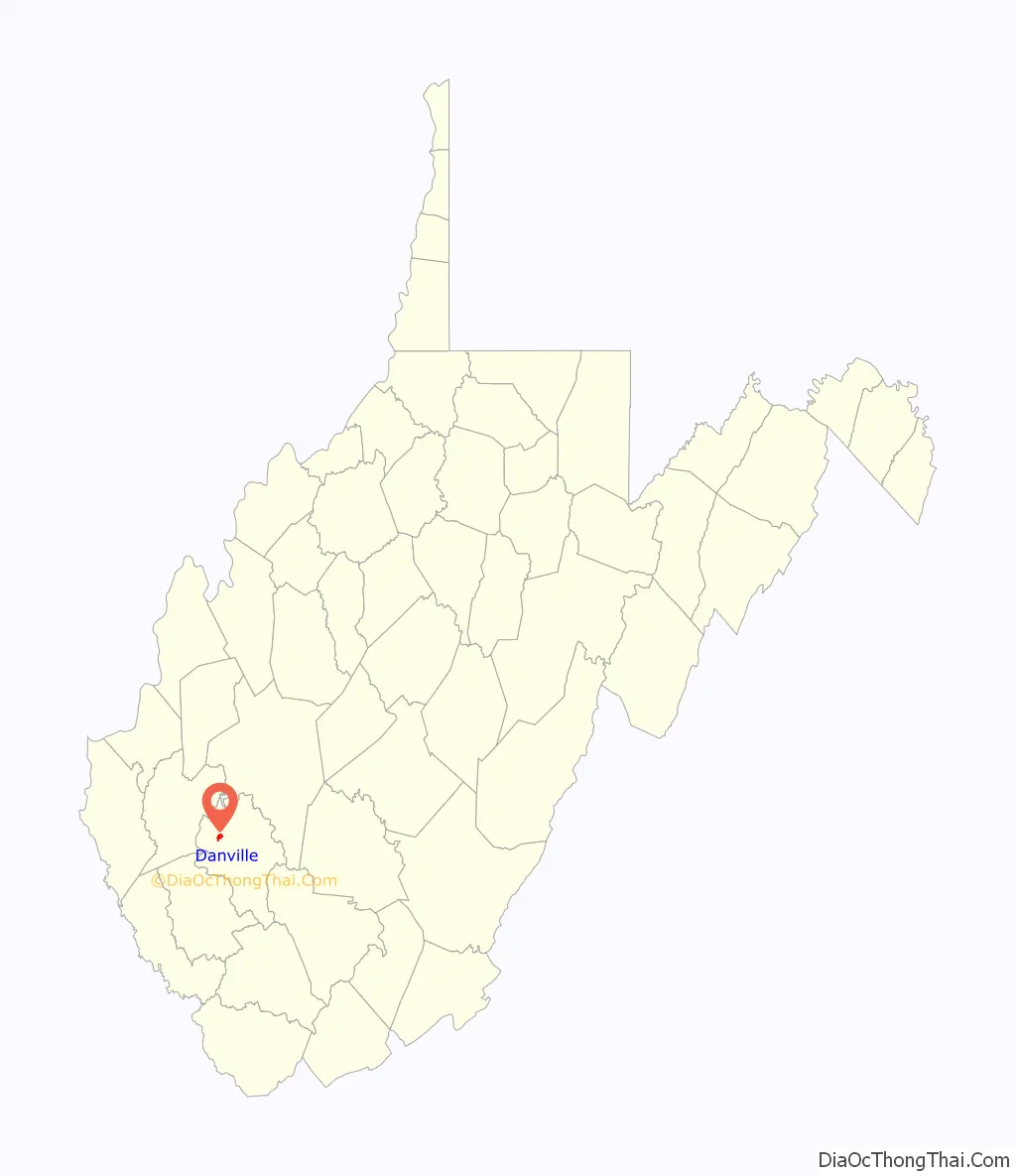
Danville location map. Where is Danville town?
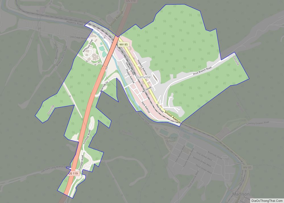
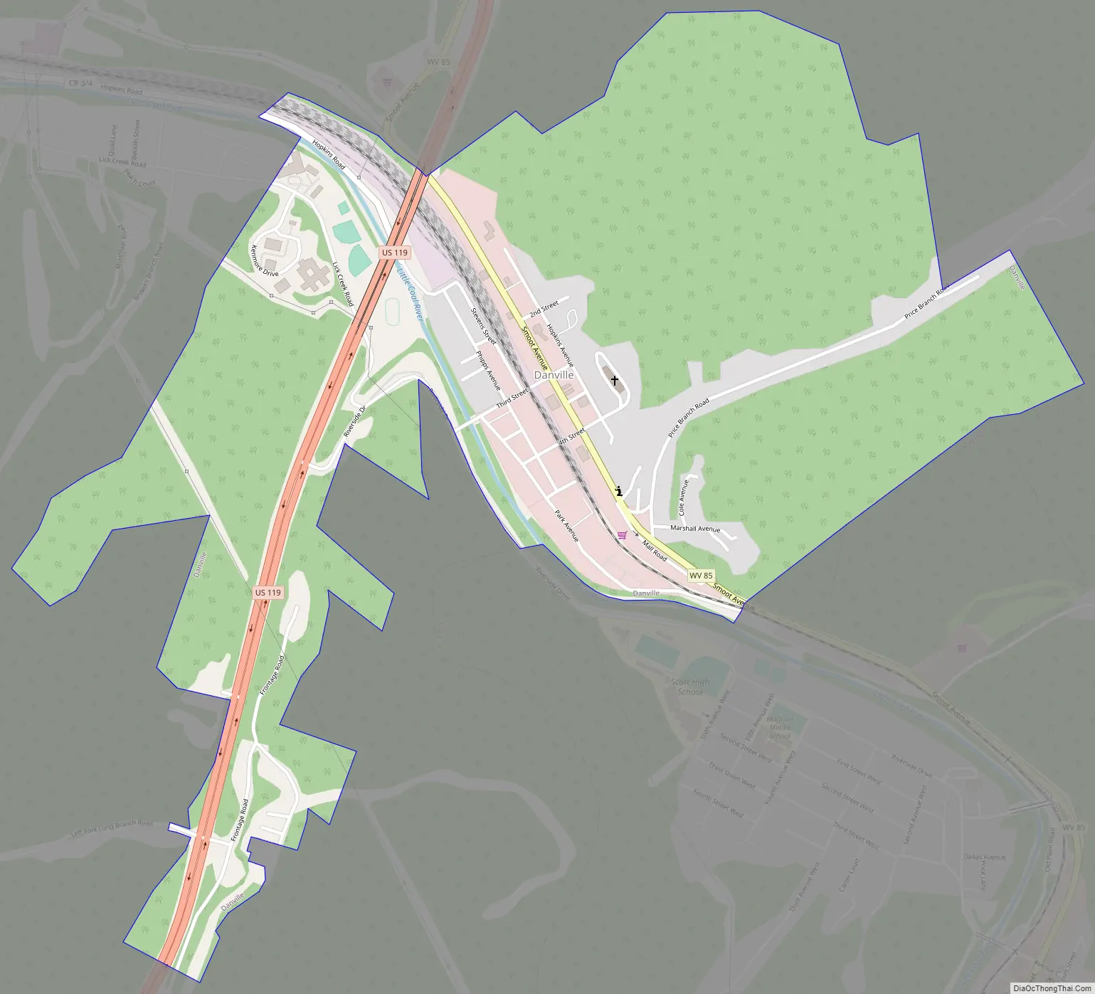
Danville Road Map
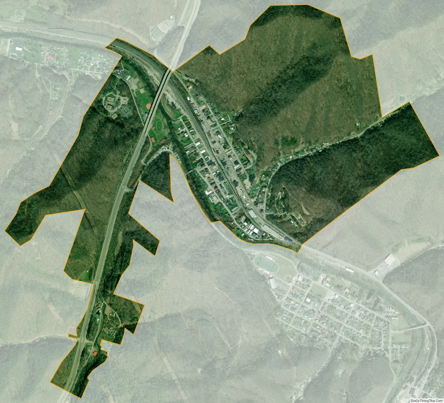
Danville city Satellite Map
Geography
Danville is located in northwestern Boone County at 38°4′40″N 81°50′9″W / 38.07778°N 81.83583°W / 38.07778; -81.83583 (38.077863, -81.835696), The town is situated along the Little Coal River, with its business district lying primarily along the east bank of the river. Madison, the county seat, borders Danville to the south.
West Virginia Route 85, signed as Smoot Avenue within Danville, traverses the town, connecting it with Madison to the south, and terminating at U.S. Route 119 on the north side of town. From this intersection, US 119 continues northeastward in the direction of Charleston, and southwestward to Chapmanville and Logan.
According to the United States Census Bureau, the town has a total area of 1.08 square miles (2.80 km), of which 1.07 square miles (2.77 km) is land and 0.01 square miles (0.03 km) is water.
See also
Map of West Virginia State and its subdivision:- Barbour
- Berkeley
- Boone
- Braxton
- Brooke
- Cabell
- Calhoun
- Clay
- Doddridge
- Fayette
- Gilmer
- Grant
- Greenbrier
- Hampshire
- Hancock
- Hardy
- Harrison
- Jackson
- Jefferson
- Kanawha
- Lewis
- Lincoln
- Logan
- Marion
- Marshall
- Mason
- McDowell
- Mercer
- Mineral
- Mingo
- Monongalia
- Monroe
- Morgan
- Nicholas
- Ohio
- Pendleton
- Pleasants
- Pocahontas
- Preston
- Putnam
- Raleigh
- Randolph
- Ritchie
- Roane
- Summers
- Taylor
- Tucker
- Tyler
- Upshur
- Wayne
- Webster
- Wetzel
- Wirt
- Wood
- Wyoming
- Alabama
- Alaska
- Arizona
- Arkansas
- California
- Colorado
- Connecticut
- Delaware
- District of Columbia
- Florida
- Georgia
- Hawaii
- Idaho
- Illinois
- Indiana
- Iowa
- Kansas
- Kentucky
- Louisiana
- Maine
- Maryland
- Massachusetts
- Michigan
- Minnesota
- Mississippi
- Missouri
- Montana
- Nebraska
- Nevada
- New Hampshire
- New Jersey
- New Mexico
- New York
- North Carolina
- North Dakota
- Ohio
- Oklahoma
- Oregon
- Pennsylvania
- Rhode Island
- South Carolina
- South Dakota
- Tennessee
- Texas
- Utah
- Vermont
- Virginia
- Washington
- West Virginia
- Wisconsin
- Wyoming