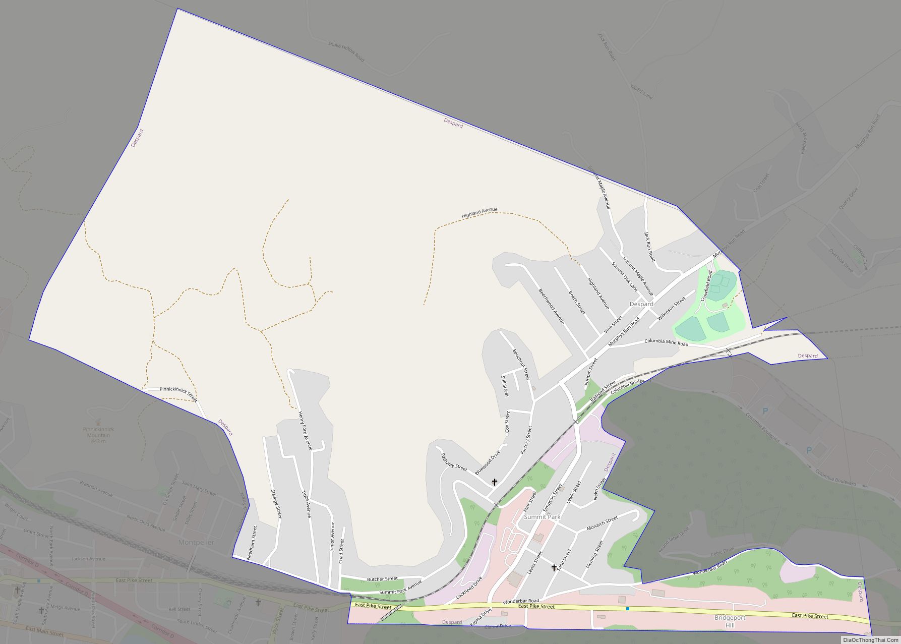
Despard is a census-designated place (CDP) in Harrison County, West Virginia, United States. The population was 1,004 at the 2010 census.
Despard was home to the largest manufacturing enterprise in north central West Virginia in the early 1900s, the Jackson Sheet and Tin Plate Company, after 1905 known as the Phillips Sheet and Tin Plate Company, or simply the “Tin Plate Mill.”
| Name: | Despard CDP |
|---|---|
| LSAD Code: | 57 |
| LSAD Description: | CDP (suffix) |
| State: | West Virginia |
| County: | Harrison County |
| Elevation: | 1,043 ft (318 m) |
| Total Area: | 1.5 sq mi (3.8 km²) |
| Land Area: | 1.5 sq mi (3.8 km²) |
| Water Area: | 0.0 sq mi (0.0 km²) |
| Total Population: | 1,004 |
| Population Density: | 670/sq mi (260/km²) |
| Area code: | 304 |
| FIPS code: | 5421316 |
| GNISfeature ID: | 1554296 |
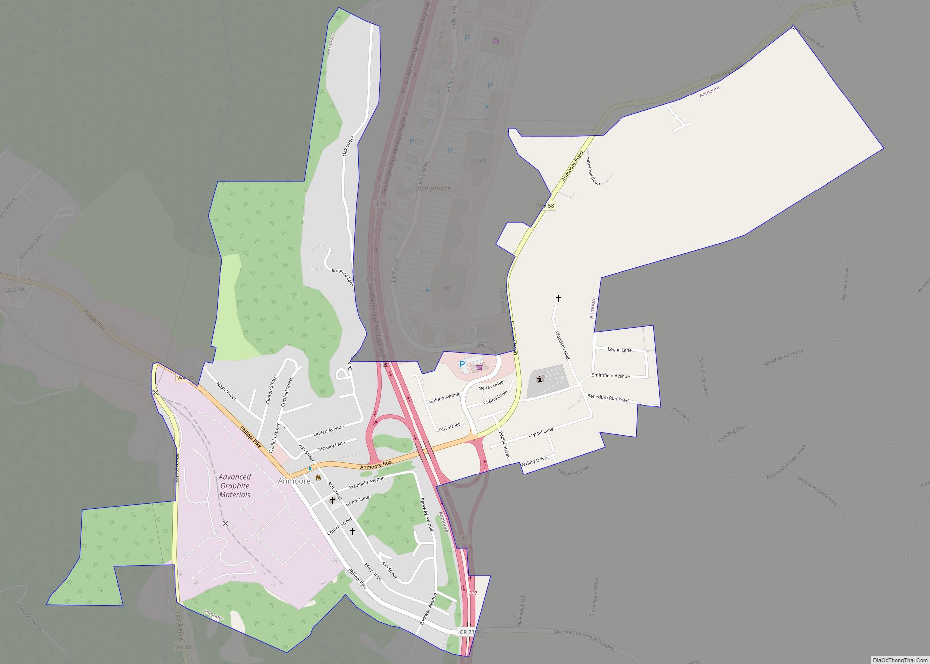
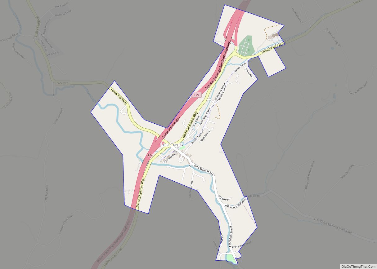
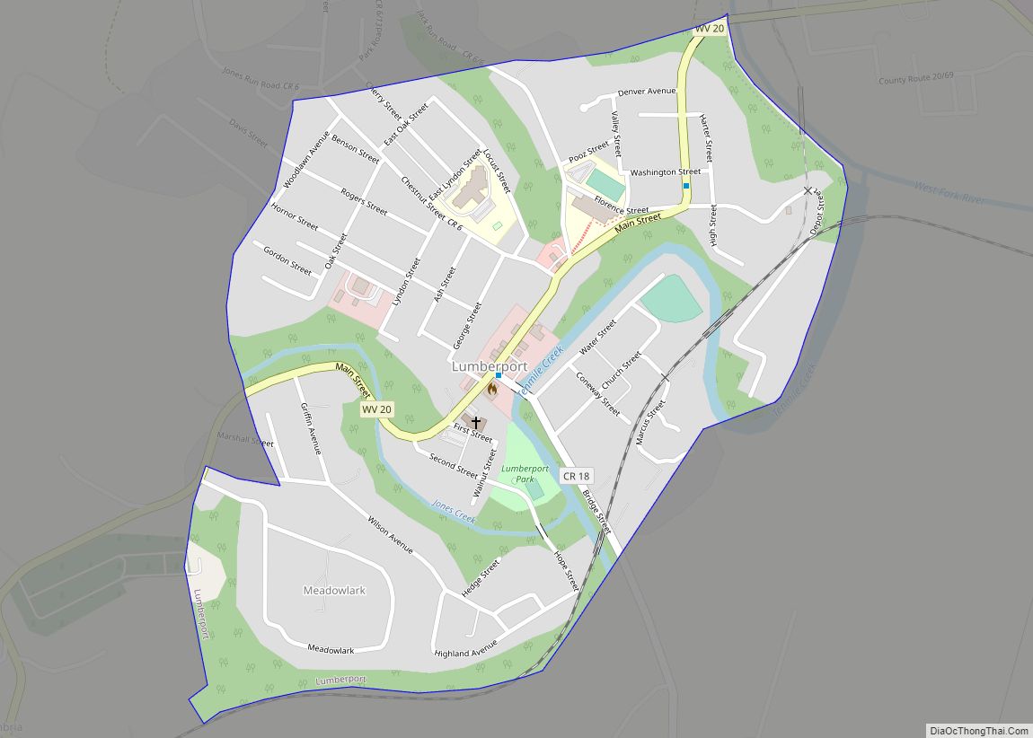
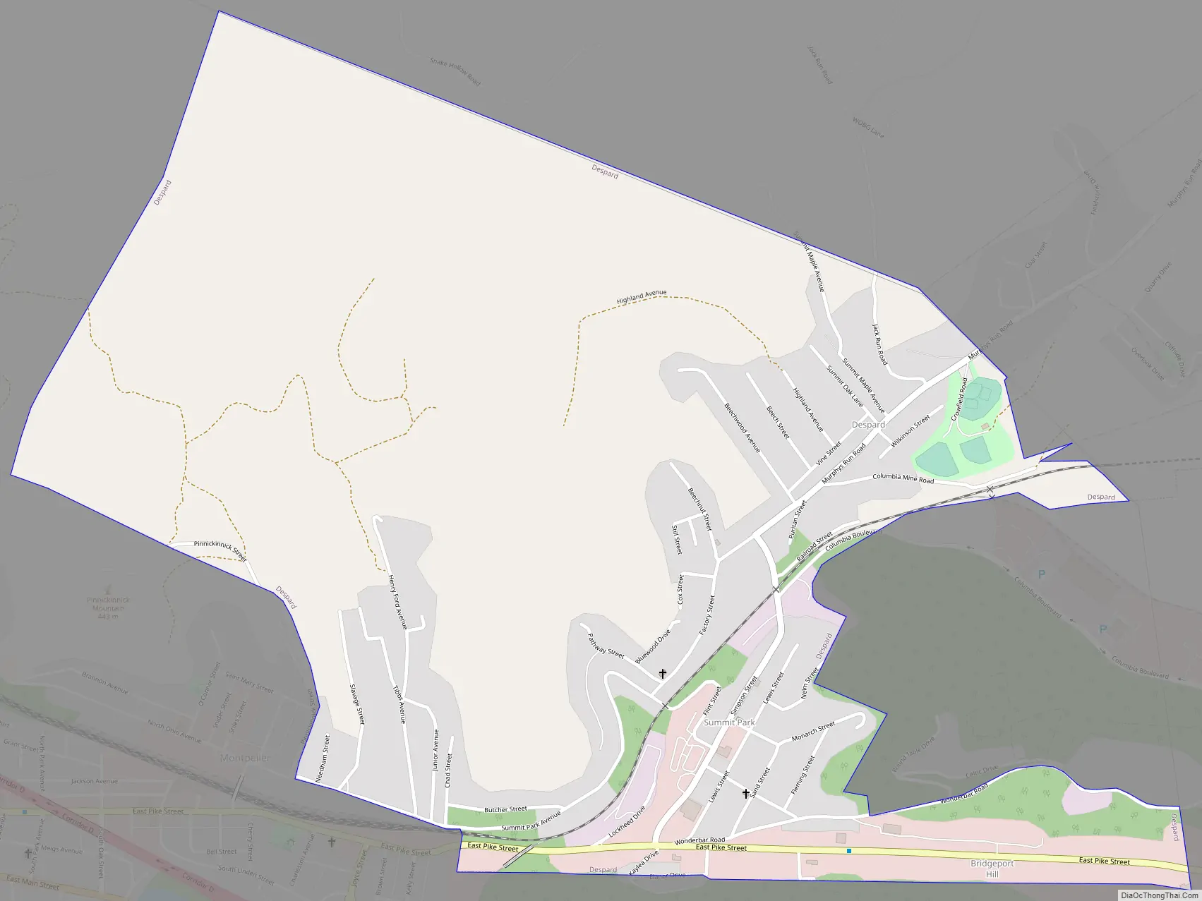
Online Interactive Map
Click on ![]() to view map in "full screen" mode.
to view map in "full screen" mode.
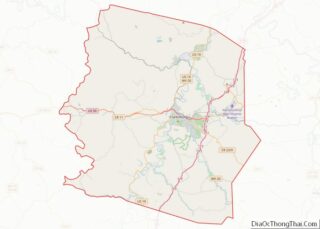
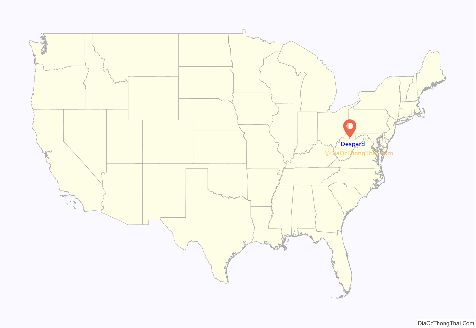
Despard location map. Where is Despard CDP?
History
In July 1901, the Jackson Sheet and Tin Plate Company, capitalized at $300,000, was incorporated by Ingraham Grove of Cleveland; C.C. Moore of Columbus, and T.M. Jackson, C.S. Sands, Fleming Howell and L.S. Hornor of Clarksburg.
It was sold (new, never operated) at bankruptcy auction to Pittsburgh partners, James R. Phillips and Ernest T. Weir, and the name was changed to Phillips Sheet & Tinplate Co.. One month after operations began, senior partner J. R. Phillips was killed in a train wreck, when the Pullman sleeper he was resting in on a siding was struck by a passing train. Either the sleeper car had not been completely onto the siding or a load of steel on a passing freight car shifted. Phillips secretary E. T. Weir then took the helm of the company and tinmill became the first Weirton Steel Company.
Summit Park, also called Greektown or especially Tinplate and Tin Plate, was in the area. It was the community of many immigrant Greeks and other nationalities, who had been recruited to work as tin workers at Weirton Steel Mill. Weirton Steel closed its gates in October 1936. The buildings were then occupied by other manufacturing firms.
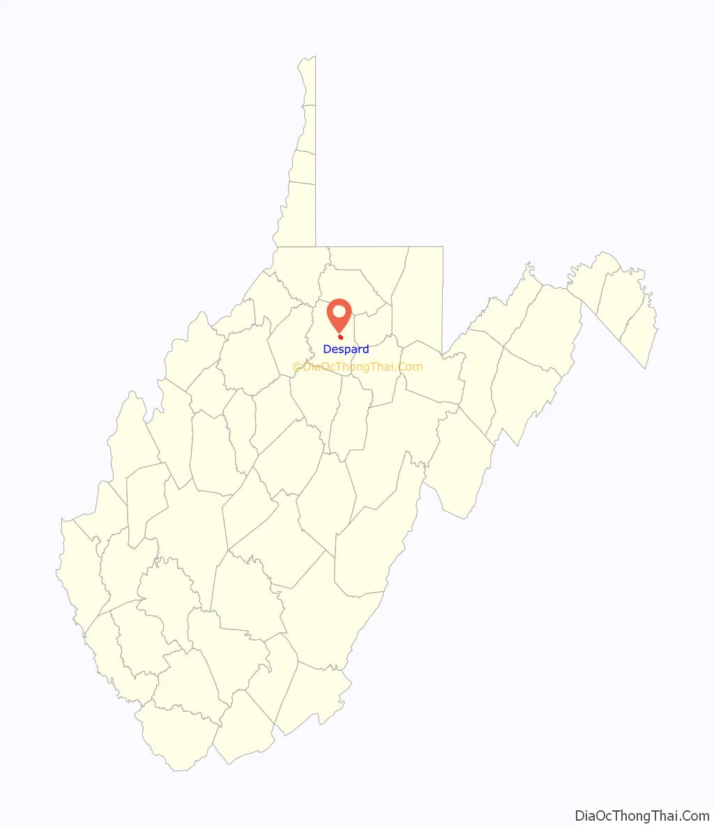
Despard Road Map
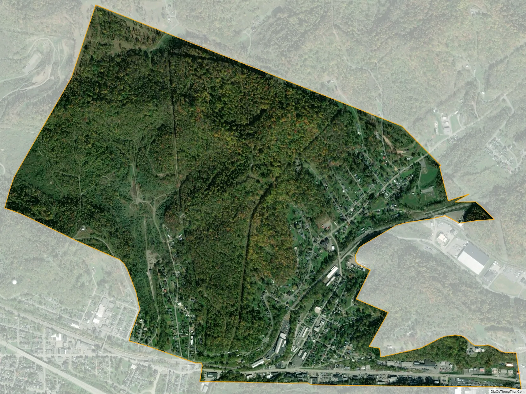
Despard city Satellite Map
Geography
Despard is located at 39°16′57″N 80°18′48″W / 39.282369°N 80.313338°W / 39.282369; -80.313338 (39.282369, -80.313338).
According to the United States Census Bureau, the CDP has a total area of 1.5 square miles (3.8 km), all land.
See also
Map of West Virginia State and its subdivision:- Barbour
- Berkeley
- Boone
- Braxton
- Brooke
- Cabell
- Calhoun
- Clay
- Doddridge
- Fayette
- Gilmer
- Grant
- Greenbrier
- Hampshire
- Hancock
- Hardy
- Harrison
- Jackson
- Jefferson
- Kanawha
- Lewis
- Lincoln
- Logan
- Marion
- Marshall
- Mason
- McDowell
- Mercer
- Mineral
- Mingo
- Monongalia
- Monroe
- Morgan
- Nicholas
- Ohio
- Pendleton
- Pleasants
- Pocahontas
- Preston
- Putnam
- Raleigh
- Randolph
- Ritchie
- Roane
- Summers
- Taylor
- Tucker
- Tyler
- Upshur
- Wayne
- Webster
- Wetzel
- Wirt
- Wood
- Wyoming
- Alabama
- Alaska
- Arizona
- Arkansas
- California
- Colorado
- Connecticut
- Delaware
- District of Columbia
- Florida
- Georgia
- Hawaii
- Idaho
- Illinois
- Indiana
- Iowa
- Kansas
- Kentucky
- Louisiana
- Maine
- Maryland
- Massachusetts
- Michigan
- Minnesota
- Mississippi
- Missouri
- Montana
- Nebraska
- Nevada
- New Hampshire
- New Jersey
- New Mexico
- New York
- North Carolina
- North Dakota
- Ohio
- Oklahoma
- Oregon
- Pennsylvania
- Rhode Island
- South Carolina
- South Dakota
- Tennessee
- Texas
- Utah
- Vermont
- Virginia
- Washington
- West Virginia
- Wisconsin
- Wyoming