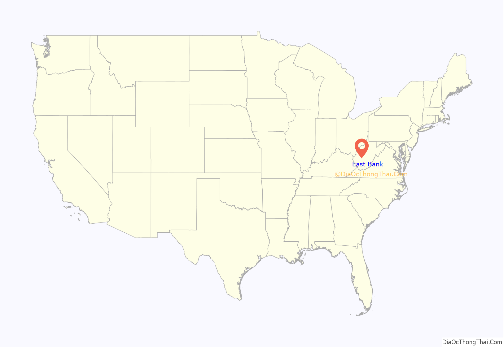
East Bank is a town in Kanawha County, West Virginia, United States, situated along the Kanawha River. The population was 820 at the 2020 census. East Bank was incorporated in 1889 by special charter enacted by the West Virginia Legislature. It is so named on account of the town’s location on the east side of the Kanawha River.
East Bank was the site of Cabin Creek District High School, erected in 1912. The first commencement ceremony graduated a class of three. CCDHS was eventually renamed East Bank High School, home of the Pioneers. The school colors were blue & white. A notable graduate was Hercules Renda, who played football at the University of Michigan and had a long career as a high school coach. EBHS also became known for alumnus Jerry West (nicknamed “Zeke from Cabin Creek”), who played basketball there, leading the Pioneers to a state championship in 1956. West went on to play at West Virginia University and for the Los Angeles Lakers. From 1912 until 1969, the school was located on WV Rt. 61 at Walnut Street.
In 1969, a new building was opened along the bank of the Kanawha River, at Brannen Street. The old building continued to stand and served until 1999 as East Bank Junior High School. East Bank High School was consolidated with nearby DuPont High School in 1999 to form Riverside High School at Diamond. Around this same time, Kanawha County Schools converted from the grade 7-9 junior high system to the grade 6-8 middle school system, and the 1969 building now houses East Bank Middle School.
The original 1912 building was demolished in 2003, but the lintel from the building’s main entryway has been preserved. East Bank’s town hall now occupies a separate building, which originally housed the high school & junior high’s music and art classrooms. A Dollar General store occupies an adjacent portion of the property.
Pioneer Park, administered by Kanawha County Parks and Recreation, is adjacent to East Bank Middle School, and offers an outdoor swimming pool, miniature golf, a snack bar, and picnic shelters.
The John Harriman House was listed on the National Register of Historic Places in 1978.
| Name: | East Bank town |
|---|---|
| LSAD Code: | 43 |
| LSAD Description: | town (suffix) |
| State: | West Virginia |
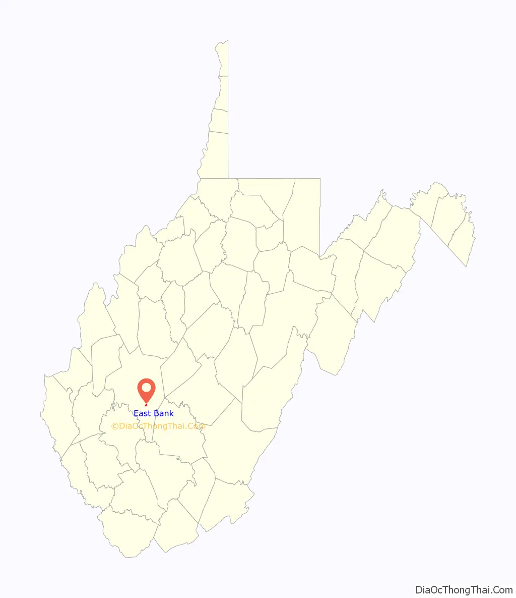
| County: | Kanawha County |
| Elevation: | 620 ft (189 m) |
| Total Area: | 0.48 sq mi (1.25 km²) |
| Land Area: | 0.48 sq mi (1.25 km²) |
| Water Area: | 0.00 sq mi (0.00 km²) |
| Total Population: | 820 |
| Population Density: | 1,802.90/sq mi (696.67/km²) |
| ZIP code: | 25067 |
| Area code: | 304 |
| FIPS code: | 5423092 |
| GNISfeature ID: | 1554348 |
Online Interactive Map
Click on ![]() to view map in "full screen" mode.
to view map in "full screen" mode.
East Bank location map. Where is East Bank town?
East Bank Road Map
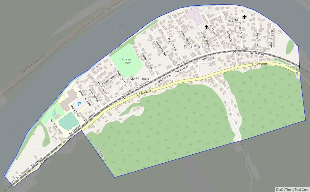
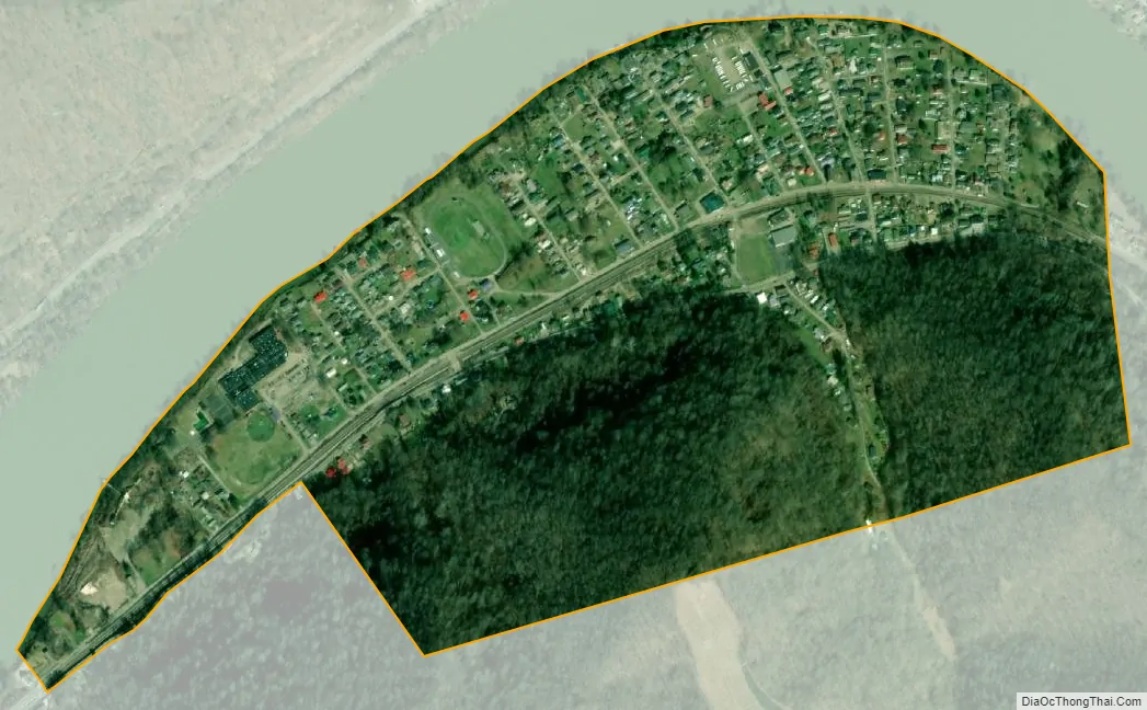
East Bank city Satellite Map
Geography
East Bank is located at 38°13′1″N 81°26′39″W / 38.21694°N 81.44417°W / 38.21694; -81.44417 (38.217023, -81.444112).
According to the United States Census Bureau, the town has a total area of 0.48 square miles (1.24 km), all land.
See also
Map of West Virginia State and its subdivision:- Barbour
- Berkeley
- Boone
- Braxton
- Brooke
- Cabell
- Calhoun
- Clay
- Doddridge
- Fayette
- Gilmer
- Grant
- Greenbrier
- Hampshire
- Hancock
- Hardy
- Harrison
- Jackson
- Jefferson
- Kanawha
- Lewis
- Lincoln
- Logan
- Marion
- Marshall
- Mason
- McDowell
- Mercer
- Mineral
- Mingo
- Monongalia
- Monroe
- Morgan
- Nicholas
- Ohio
- Pendleton
- Pleasants
- Pocahontas
- Preston
- Putnam
- Raleigh
- Randolph
- Ritchie
- Roane
- Summers
- Taylor
- Tucker
- Tyler
- Upshur
- Wayne
- Webster
- Wetzel
- Wirt
- Wood
- Wyoming
- Alabama
- Alaska
- Arizona
- Arkansas
- California
- Colorado
- Connecticut
- Delaware
- District of Columbia
- Florida
- Georgia
- Hawaii
- Idaho
- Illinois
- Indiana
- Iowa
- Kansas
- Kentucky
- Louisiana
- Maine
- Maryland
- Massachusetts
- Michigan
- Minnesota
- Mississippi
- Missouri
- Montana
- Nebraska
- Nevada
- New Hampshire
- New Jersey
- New Mexico
- New York
- North Carolina
- North Dakota
- Ohio
- Oklahoma
- Oregon
- Pennsylvania
- Rhode Island
- South Carolina
- South Dakota
- Tennessee
- Texas
- Utah
- Vermont
- Virginia
- Washington
- West Virginia
- Wisconsin
- Wyoming