Falling Spring is a town in Greenbrier County, West Virginia, United States. It is also known as Renick from the name of its post office (ZIP Code 24966). The population was 171 at the 2020 census.
| Name: | Falling Spring town |
|---|---|
| LSAD Code: | 43 |
| LSAD Description: | town (suffix) |
| State: | West Virginia |
| County: | Greenbrier County |
| Elevation: | 2,087 ft (636 m) |
| Total Area: | 0.53 sq mi (1.37 km²) |
| Land Area: | 0.52 sq mi (1.33 km²) |
| Water Area: | 0.01 sq mi (0.03 km²) |
| Total Population: | 171 |
| Population Density: | 392.23/sq mi (151.46/km²) |
| ZIP code: | 24966 (Renick) |
| Area code: | 304 |
| FIPS code: | 5426692 |
| GNISfeature ID: | 2390175 |
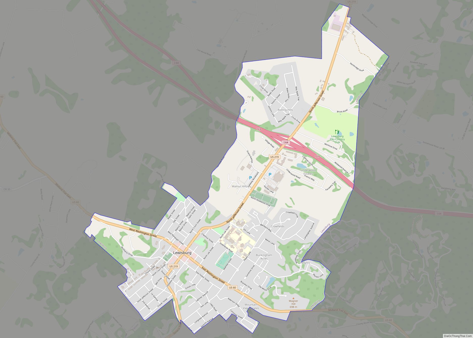
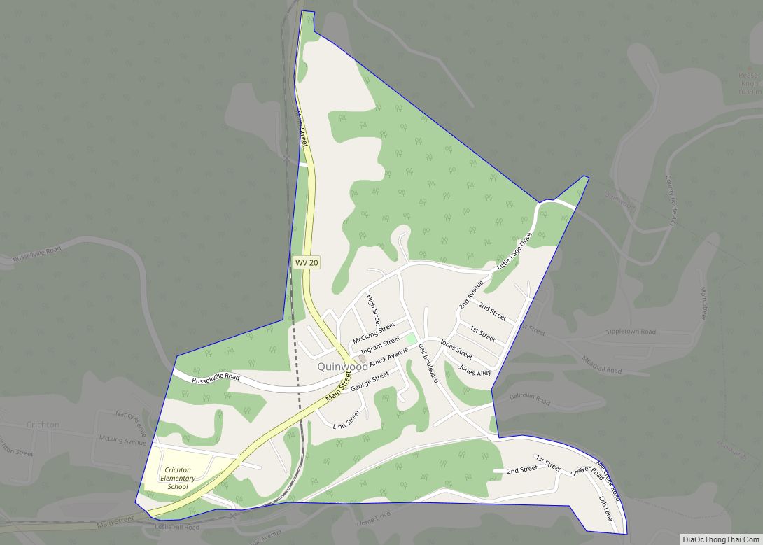
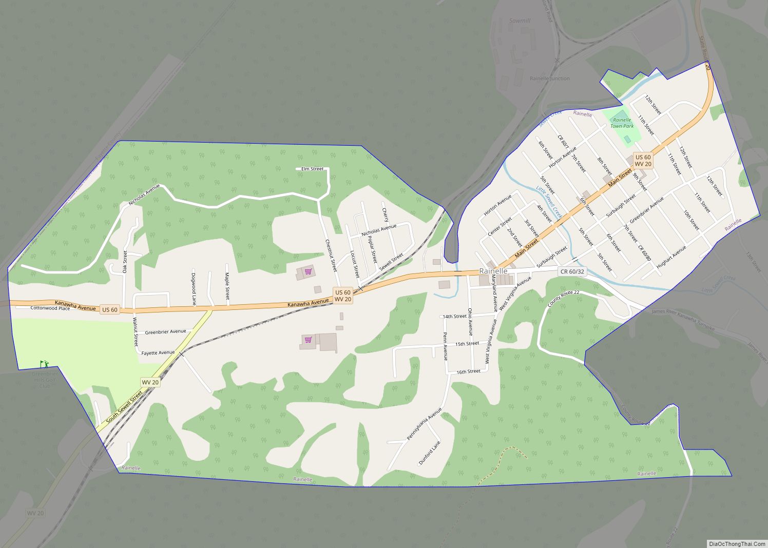
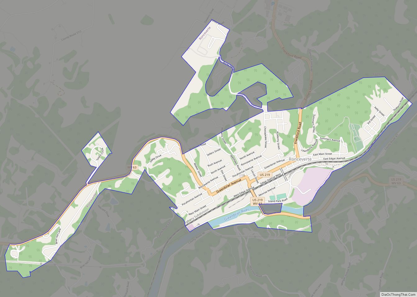
Online Interactive Map
Click on ![]() to view map in "full screen" mode.
to view map in "full screen" mode.
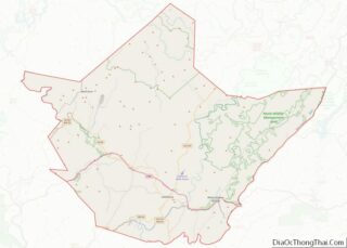
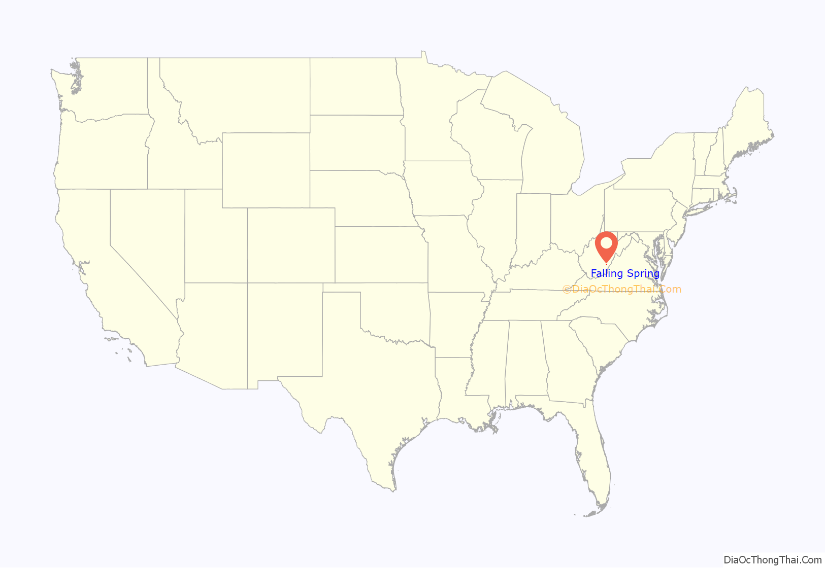
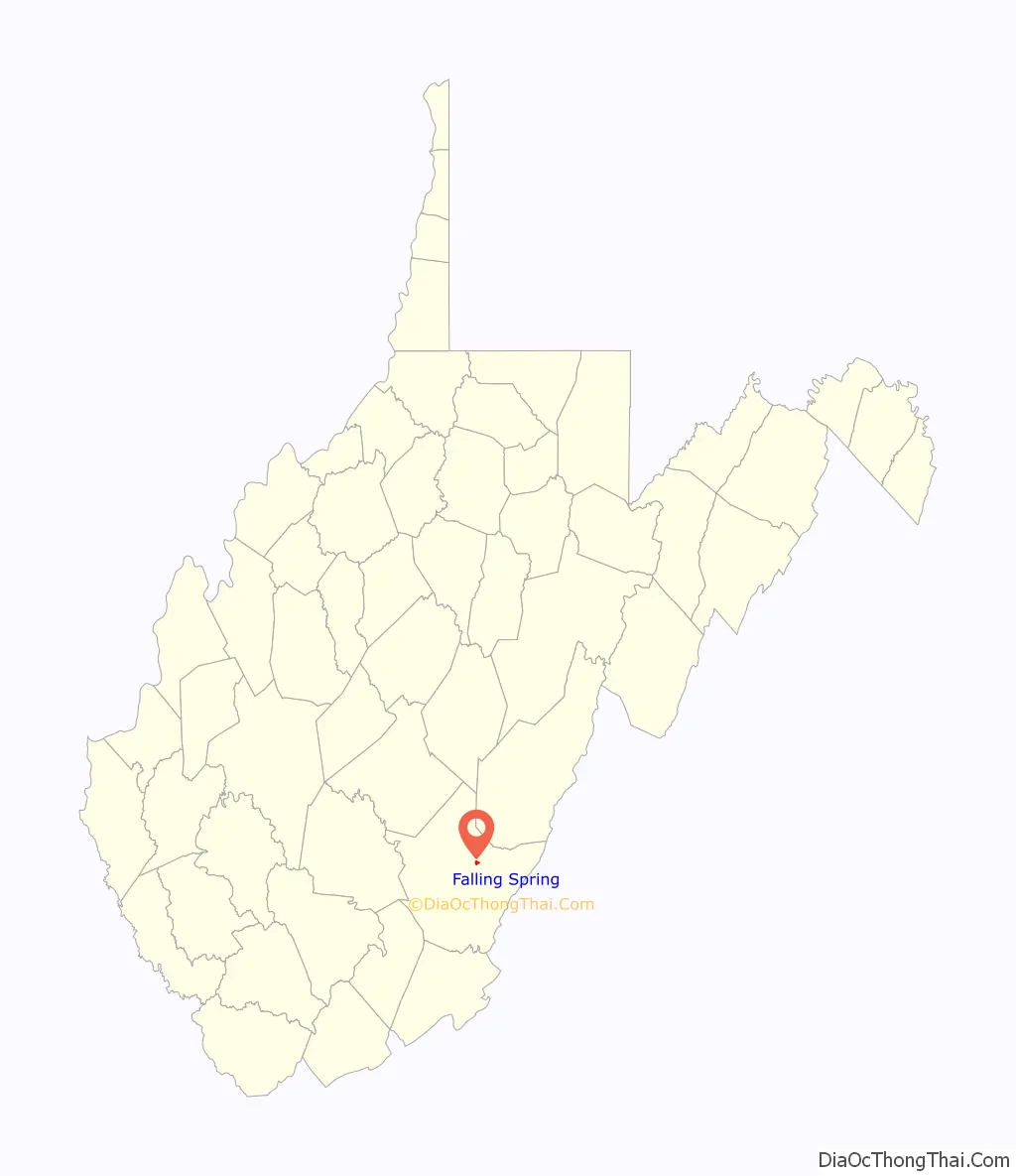
Falling Spring location map. Where is Falling Spring town?
History
In 1769, Major William Renick from Augusta County, Virginia, settled on an entry of 1,000 acres (400 ha) in the northern area of Greenbrier County, an area 16 miles (26 km) north of Lewisburg known as Falling Spring.
Spring Creek Presbyterian Church was established in 1783. The first pastor was Rev. John McCue. The original site of the church was in Spring Creek, about 2.5 miles (4.0 km) south of Renick.
A school was established in the town in 1796. In 1928 the public school system established Renick High School in what is now the Renick Junior High School building.
The Chesapeake and Ohio Railroad was built through the center of town around 1900, following the Greenbrier River. In 1901, Pitts and Colley built a large store next to the railroad depot and many businesses followed. The railroad line is now the Greenbrier River Trail.
The Bank of Renick was established in 1909 with the Rev. J.S. Wickline as the first and only president. The bank at one time was considered one of the best banks in the Greenbrier Valley.
The post office of Falling Spring was established in the early part of the 1800s. The post office’s name was changed to “Renick” in 1913 by the postal service, due to confusion with the mail service with the community of Falling Spring, Virginia. Today, the post office is still in service and delivers mail not only to the town of Falling Spring, but to the surrounding communities of Auto and Friars Hill.
Sources: The Renick Ruritan club, Former Mayor David Ramsey
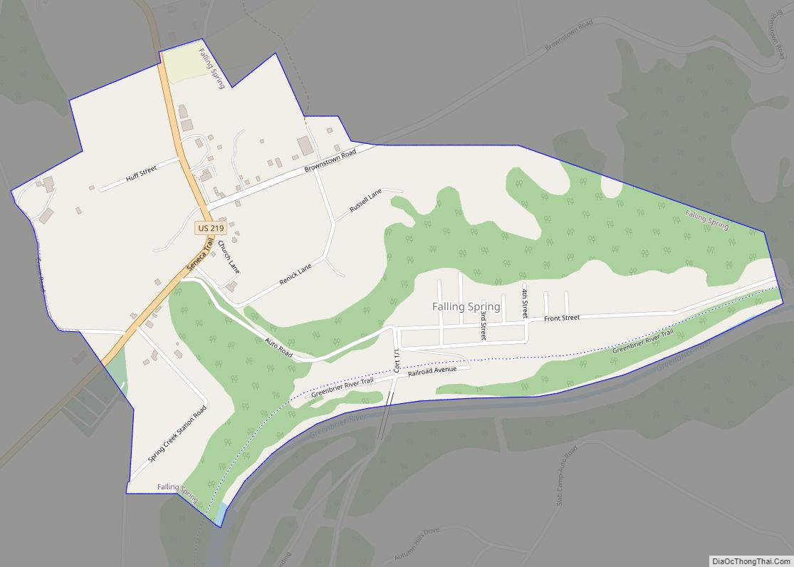
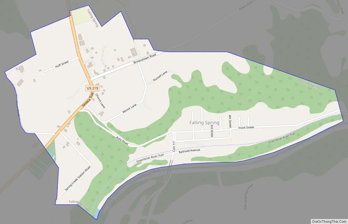
Falling Spring Road Map
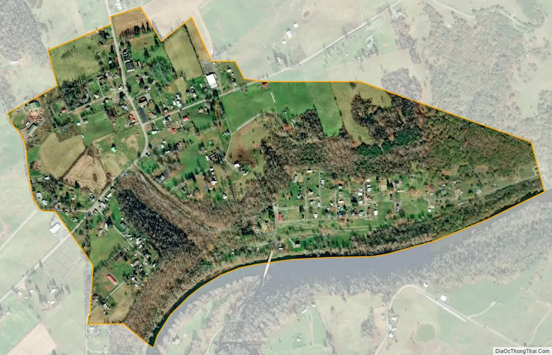
Falling Spring city Satellite Map
Geography
According to the United States Census Bureau, the town has a total area of 0.53 square miles (1.37 km), of which 0.52 square miles (1.35 km) is land and 0.01 square miles (0.03 km) is water.
Climate
The climate in this area is characterized by hot, humid summers and generally mild to cool winters. According to the Köppen Climate Classification system, Renick has a humid subtropical climate, abbreviated “Cfa” on climate maps.
See also
Map of West Virginia State and its subdivision:- Barbour
- Berkeley
- Boone
- Braxton
- Brooke
- Cabell
- Calhoun
- Clay
- Doddridge
- Fayette
- Gilmer
- Grant
- Greenbrier
- Hampshire
- Hancock
- Hardy
- Harrison
- Jackson
- Jefferson
- Kanawha
- Lewis
- Lincoln
- Logan
- Marion
- Marshall
- Mason
- McDowell
- Mercer
- Mineral
- Mingo
- Monongalia
- Monroe
- Morgan
- Nicholas
- Ohio
- Pendleton
- Pleasants
- Pocahontas
- Preston
- Putnam
- Raleigh
- Randolph
- Ritchie
- Roane
- Summers
- Taylor
- Tucker
- Tyler
- Upshur
- Wayne
- Webster
- Wetzel
- Wirt
- Wood
- Wyoming
- Alabama
- Alaska
- Arizona
- Arkansas
- California
- Colorado
- Connecticut
- Delaware
- District of Columbia
- Florida
- Georgia
- Hawaii
- Idaho
- Illinois
- Indiana
- Iowa
- Kansas
- Kentucky
- Louisiana
- Maine
- Maryland
- Massachusetts
- Michigan
- Minnesota
- Mississippi
- Missouri
- Montana
- Nebraska
- Nevada
- New Hampshire
- New Jersey
- New Mexico
- New York
- North Carolina
- North Dakota
- Ohio
- Oklahoma
- Oregon
- Pennsylvania
- Rhode Island
- South Carolina
- South Dakota
- Tennessee
- Texas
- Utah
- Vermont
- Virginia
- Washington
- West Virginia
- Wisconsin
- Wyoming