Henlawson is a census-designated place (CDP) in Logan County, West Virginia, United States. Henlawson has a post office with ZIP code 25624. As of the 2010 census, its population was 442. Henlawson is believed to have been named after a resident, Henry Lawson. Merrill Coal Mines opened Merrill Mines here in 1921 and built homes to house the miners.
| Name: | Henlawson CDP |
|---|---|
| LSAD Code: | 57 |
| LSAD Description: | CDP (suffix) |
| State: | West Virginia |
| County: | Logan County |
| Elevation: | 667 ft (203 m) |
| Total Area: | 0.830 sq mi (2.15 km²) |
| Land Area: | 0.802 sq mi (2.08 km²) |
| Water Area: | 0.028 sq mi (0.07 km²) |
| Total Population: | 442 |
| Population Density: | 551.1/sq mi (212.8/km²) |
| ZIP code: | 25624 |
| Area code: | 304 & 681 |
| FIPS code: | 5436484 |
| GNISfeature ID: | 1540150 |
Online Interactive Map
Click on ![]() to view map in "full screen" mode.
to view map in "full screen" mode.
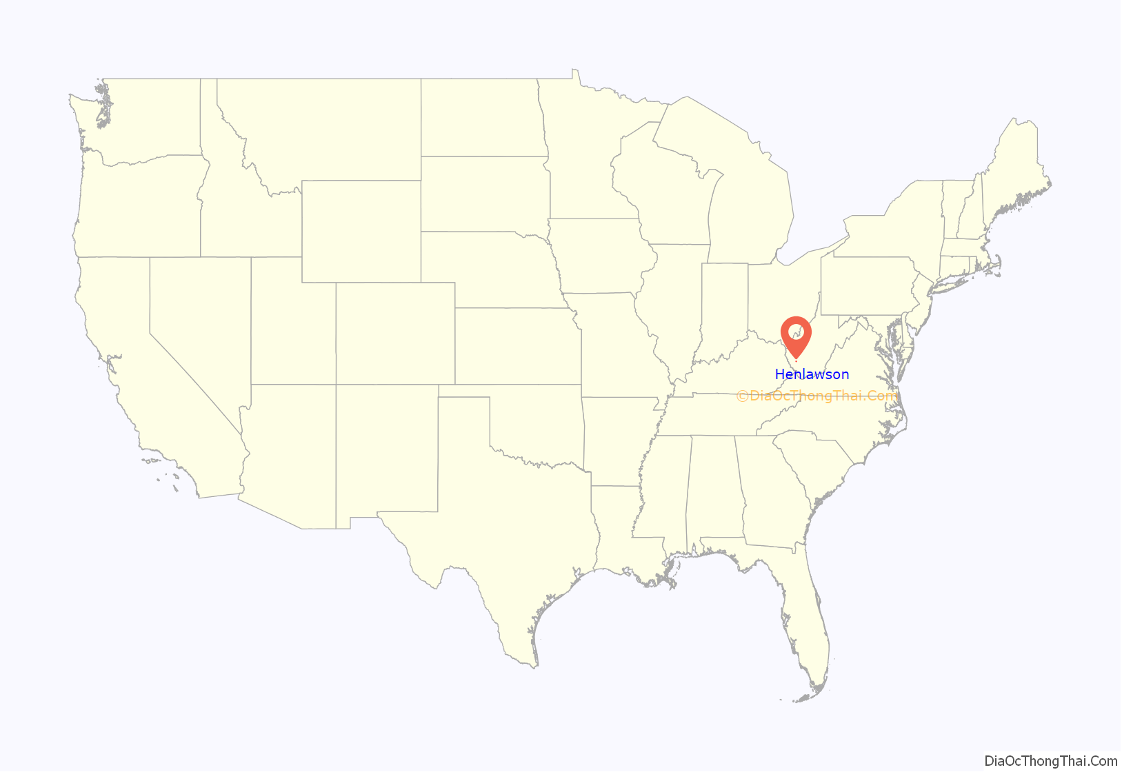
Henlawson location map. Where is Henlawson CDP?
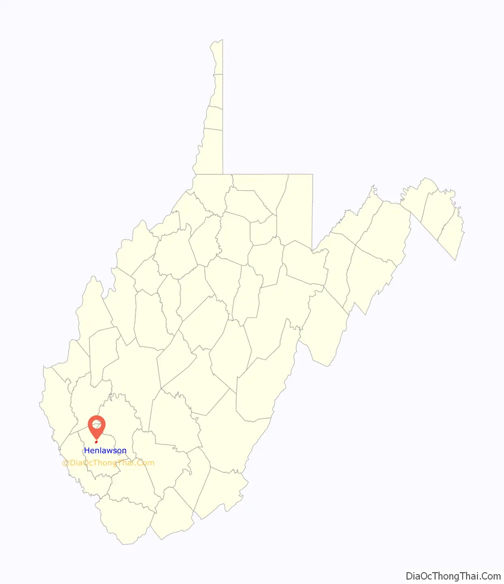
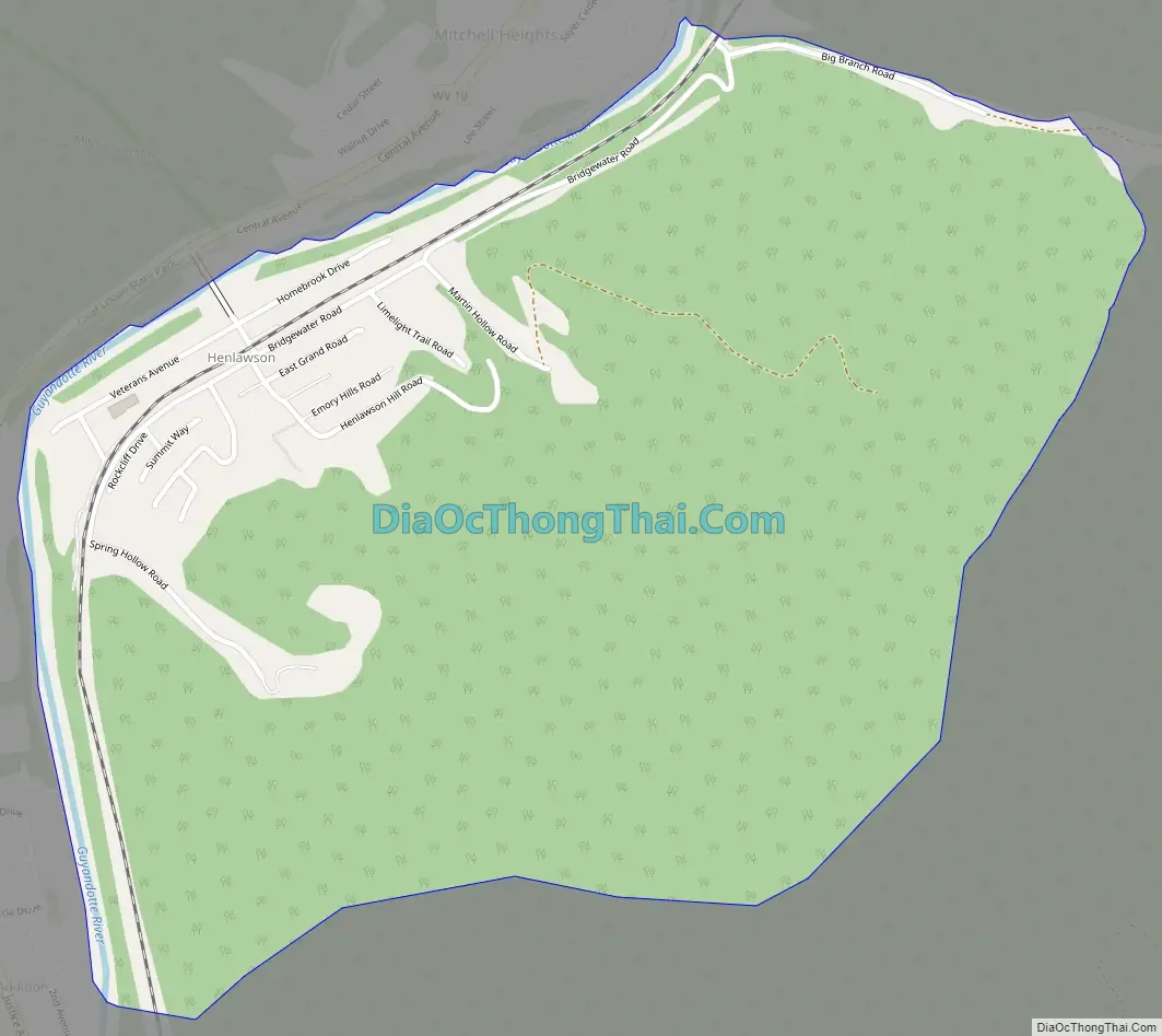
Henlawson Road Map
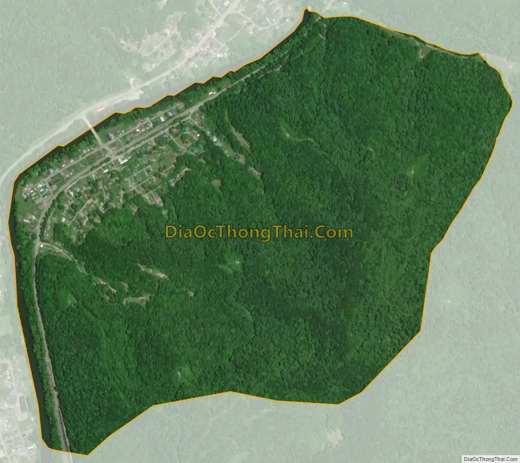
Henlawson city Satellite Map
Geography
Henlawson is located in north-central Logan County, on the east bank of the Guyandotte River across from Mitchell Heights to the north and Justice Addition to the southwest. It is 5 miles (8 km) north of Logan, the county seat.
According to the U.S. Census Bureau, the Henlawson CDP has a total area of 0.83 square miles (2.15 km), of which 0.80 square miles (2.08 km) are land and 0.027 square miles (0.07 km), or 3.35%, are water. The Guyandotte is a north-flowing tributary of the Ohio River.
See also
Map of West Virginia State and its subdivision:- Barbour
- Berkeley
- Boone
- Braxton
- Brooke
- Cabell
- Calhoun
- Clay
- Doddridge
- Fayette
- Gilmer
- Grant
- Greenbrier
- Hampshire
- Hancock
- Hardy
- Harrison
- Jackson
- Jefferson
- Kanawha
- Lewis
- Lincoln
- Logan
- Marion
- Marshall
- Mason
- McDowell
- Mercer
- Mineral
- Mingo
- Monongalia
- Monroe
- Morgan
- Nicholas
- Ohio
- Pendleton
- Pleasants
- Pocahontas
- Preston
- Putnam
- Raleigh
- Randolph
- Ritchie
- Roane
- Summers
- Taylor
- Tucker
- Tyler
- Upshur
- Wayne
- Webster
- Wetzel
- Wirt
- Wood
- Wyoming
- Alabama
- Alaska
- Arizona
- Arkansas
- California
- Colorado
- Connecticut
- Delaware
- District of Columbia
- Florida
- Georgia
- Hawaii
- Idaho
- Illinois
- Indiana
- Iowa
- Kansas
- Kentucky
- Louisiana
- Maine
- Maryland
- Massachusetts
- Michigan
- Minnesota
- Mississippi
- Missouri
- Montana
- Nebraska
- Nevada
- New Hampshire
- New Jersey
- New Mexico
- New York
- North Carolina
- North Dakota
- Ohio
- Oklahoma
- Oregon
- Pennsylvania
- Rhode Island
- South Carolina
- South Dakota
- Tennessee
- Texas
- Utah
- Vermont
- Virginia
- Washington
- West Virginia
- Wisconsin
- Wyoming


