Lewisburg is a city in and the county seat of Greenbrier County, West Virginia, United States. The population was 3,930 at the 2020 census.
| Name: | Lewisburg city |
|---|---|
| LSAD Code: | 25 |
| LSAD Description: | city (suffix) |
| State: | West Virginia |
| County: | Greenbrier County |
| Elevation: | 2,080 ft (630 m) |
| Total Area: | 3.81 sq mi (9.87 km²) |
| Land Area: | 3.80 sq mi (9.85 km²) |
| Water Area: | 0.01 sq mi (0.02 km²) |
| Total Population: | 3,930 |
| Population Density: | 1,001.05/sq mi (386.48/km²) |
| ZIP code: | 24901 |
| Area code: | 304 |
| FIPS code: | 5446636 |
| GNISfeature ID: | 1541811 |
| Website: | www.lewisburg-wv.org |
Online Interactive Map
Click on ![]() to view map in "full screen" mode.
to view map in "full screen" mode.
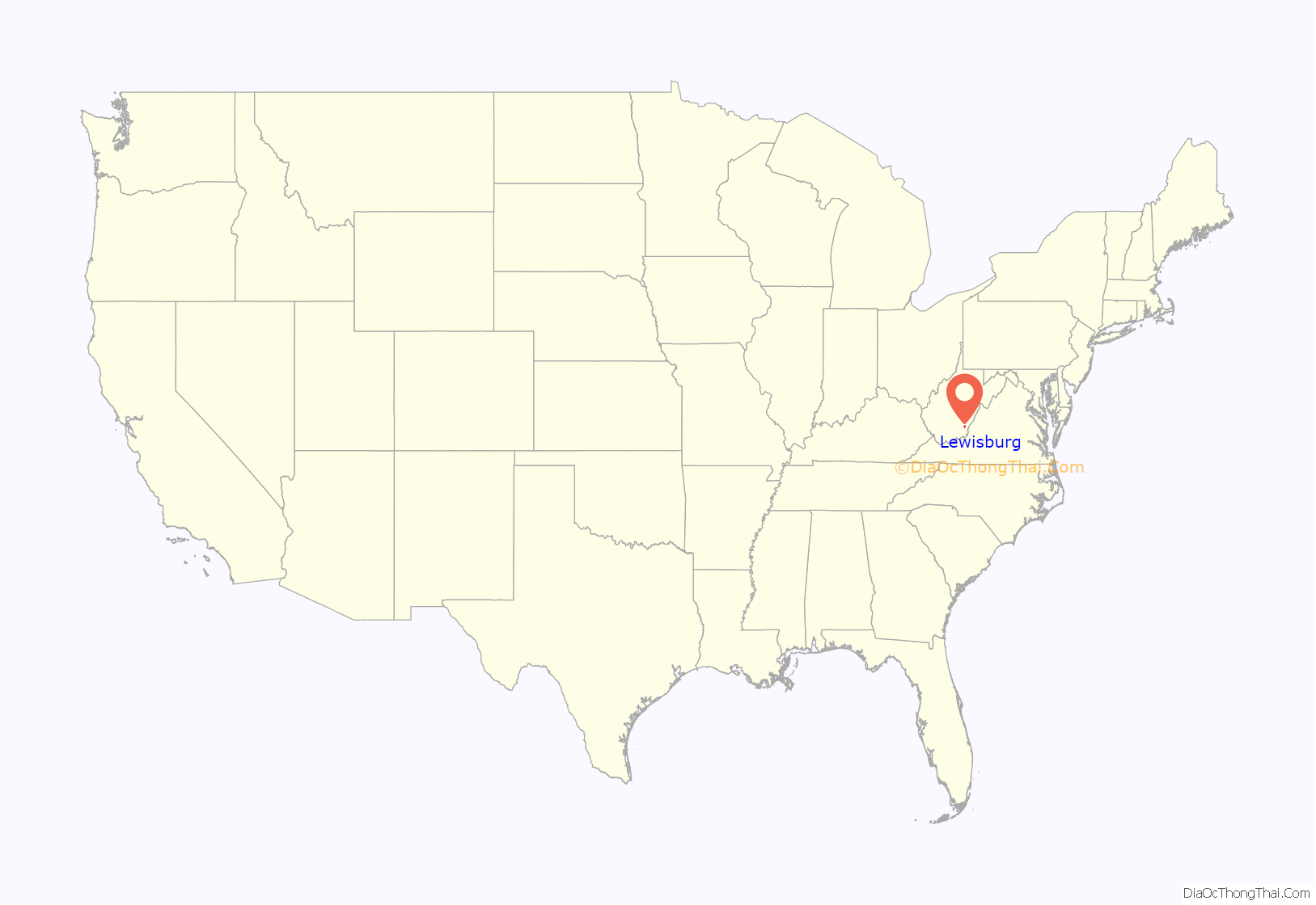
Lewisburg location map. Where is Lewisburg city?
History
Lewisburg is named after Andrew Lewis. In 1751 Lewis, as a young surveyor, established a camp near the spring behind the present courthouse. This spring has been known as the Lewis Spring since that time. During Pontiac’s Rebellion in 1763, Native Americans completely destroyed two of the early European settlements in Greenbrier County, killing the men and carrying off the women and children. This raid virtually eliminated all of the earliest settlers in the county. The Native Americans were primarily Shawnees, and (according to undocumented tradition) were led by the famous leader Hokoleskwa, or Cornstalk.
By 1770 a fortified encampment called Fort Savannah was established at the Lewis Spring. In 1774, Governor Dunmore of Virginia instructed then-Colonel Andrew Lewis to gather “willing and able men” to go to the great Kanawha River and stand against the Native American forces that were attacking the Greenbrier Valley. In what became known as Lord Dunmore’s War, over 1,490 men were assembled, some at Fort Pitt at present-day Pittsburgh, and others at Fort Union, on the site of present-day Lewisburg. These recruits included Lewis’s brother Charles, and others which history books refer to as one of the most remarkable assemblages of frontier leaders in American history. Thirteen were men of political and military distinction. Lewis’s army marched down the New and Kanawha Rivers to the Ohio River, where they intended to cross over and invade the Ohio Country, which was the home of the Shawnees. The Native Americans, led by Cornstalk, attempted to cut them off at the mouth of the Kanawha, where they fought an inconclusive battle that came to be known as the Battle of Point Pleasant.
When the town of Lewisburg was formally laid out in 1780, Matthew Arbuckle, Sr. was the first settler. Among Lewisburg’s first trustees was Col. John Stuart (1749-1823), a Revolutionary War commander who surveyed and settled the area and is known locally as the “Father of Greenbrier County”. The land on which the first county courthouse, and the Old Stone Church in Lewisburg, are situated was donated by Stuart. Lewisburg was formally established in 1782 by an act of the Virginia General Assembly. The original trustees were Samuel Lewis, James Reid, Samuel Brown, Andrew Donnelly, John Stuart, and Archer Mathews. To accommodate Virginians west of the mountains, several Virginia courts sat in Lewisburg, where Patrick Henry once successfully defended a client accused of murder. The town and the surrounding farms prospered and a number of spas and resort hotels were established at some of the outlying mineral springs.
During the Civil War a number of engagements were fought in and around Lewisburg, including the 1862 Battle of Lewisburg. Several of the present buildings in town were used as hospitals and barracks by both sides in this conflict, and bullet marks can still be seen in some today. The Virginia Supreme Court library, which was located in Lewisburg and served as the Greenbrier County Library until 2008, was used as a hospital and has preserved a section of wall with soldiers’ graffiti.
In the mid 20th century, the Lewisburg area was home to several children’s summer camps. Camp Ann Bailey, (named after Revolutionary War scout Anne Bailey) was located on the Greenbrier River. This Girl Scout camp was integrated in the 1950s thanks to the efforts of Charleston civil rights activist Elizabeth Harden Gilmore. The camp operated between 1927 and 1974, when it was closed to permit construction of Interstate 64. A boys’ camp, Camp Shaw-Mi-Del-Eca, founded in 1929, was also located on the river. The two camps held joint activities, such as dances, with another nearby girls’ camp, Camp Alleghany.
In 1978, a 236-acre (0.96 km) area in the heart of Lewisburg was designated a National Register Historic District.
Today, Lewisburg is home to the West Virginia School of Osteopathic Medicine, one of 29 osteopathic medical schools in the United States and one of three medical schools in West Virginia.
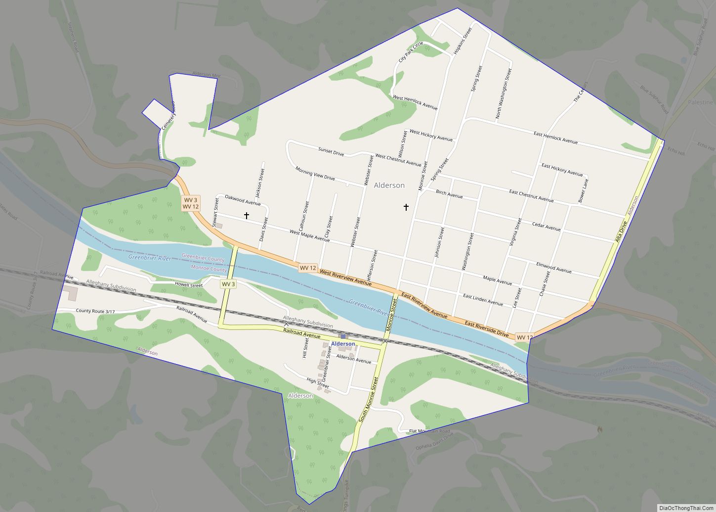
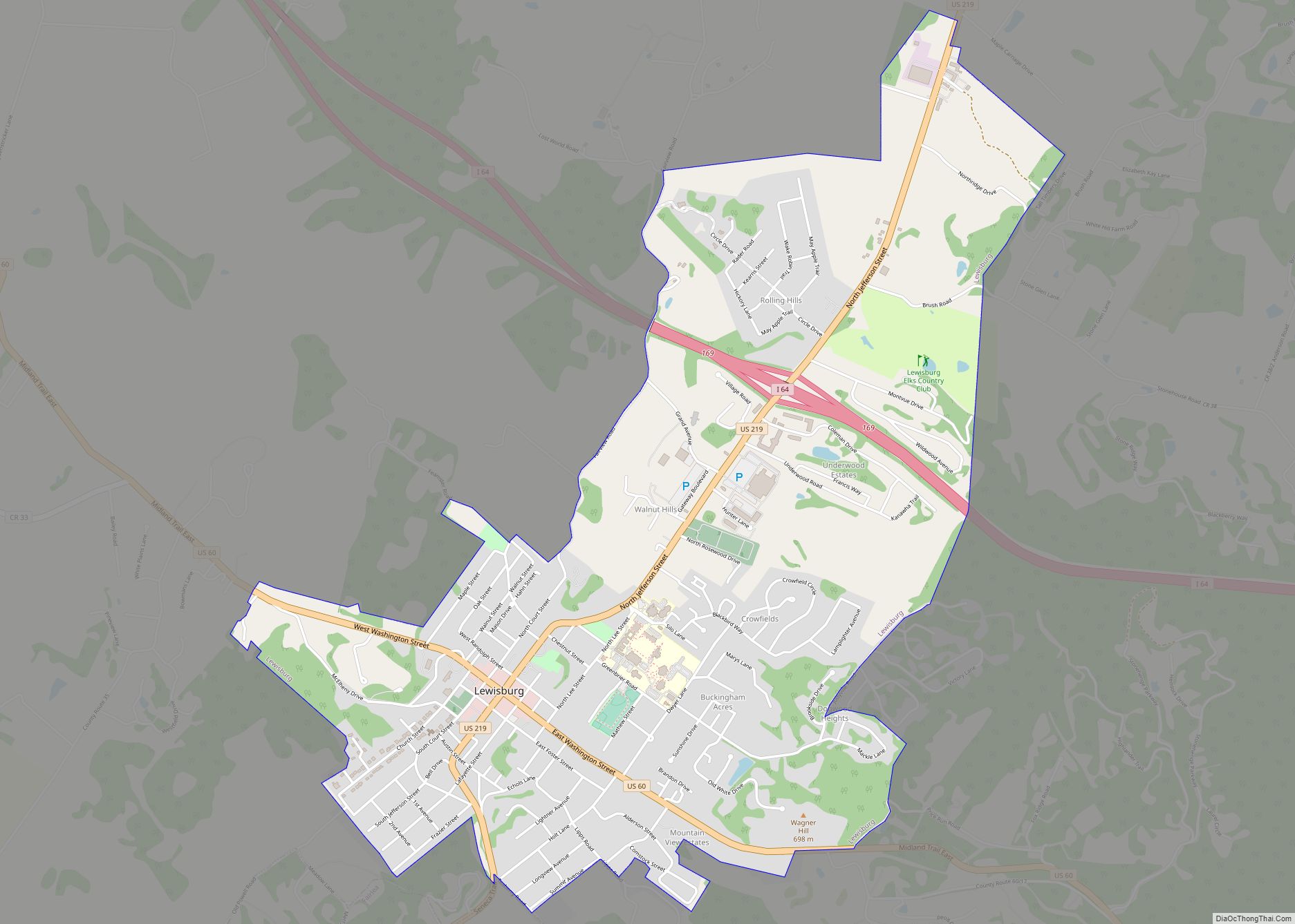
Lewisburg Road Map
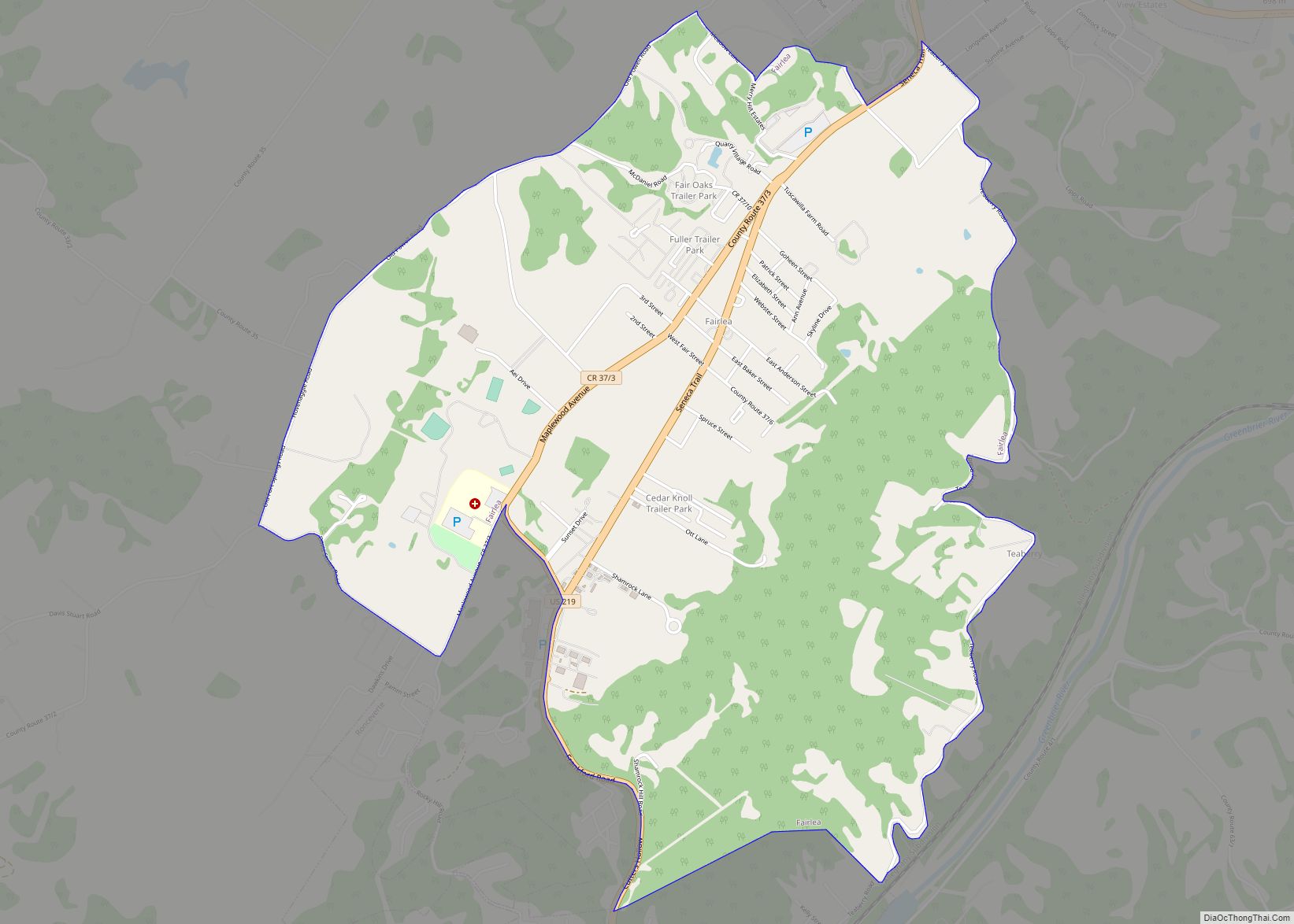
Lewisburg city Satellite Map
Geography
Lewisburg is located approximately one mile north of the Greenbrier River.
According to the United States Census Bureau, the city has a total area of 3.81 square miles (9.87 km), of which 3.80 square miles (9.84 km) is land and 0.01 square miles (0.03 km) is water. Much of it is within the karst belt and a sinkhole is gated over at an intersection. It is part of the Davis Spring subwatershed.
Lewisburg is part of the Southern West Virginia region.
Climate
The climate in this area is characterized by hot, humid summers and generally mild to cool winters. According to the Köppen Climate Classification system, Lewisburg has a humid subtropical climate, abbreviated “Cfa” on climate maps.
See also
Map of West Virginia State and its subdivision:- Barbour
- Berkeley
- Boone
- Braxton
- Brooke
- Cabell
- Calhoun
- Clay
- Doddridge
- Fayette
- Gilmer
- Grant
- Greenbrier
- Hampshire
- Hancock
- Hardy
- Harrison
- Jackson
- Jefferson
- Kanawha
- Lewis
- Lincoln
- Logan
- Marion
- Marshall
- Mason
- McDowell
- Mercer
- Mineral
- Mingo
- Monongalia
- Monroe
- Morgan
- Nicholas
- Ohio
- Pendleton
- Pleasants
- Pocahontas
- Preston
- Putnam
- Raleigh
- Randolph
- Ritchie
- Roane
- Summers
- Taylor
- Tucker
- Tyler
- Upshur
- Wayne
- Webster
- Wetzel
- Wirt
- Wood
- Wyoming
- Alabama
- Alaska
- Arizona
- Arkansas
- California
- Colorado
- Connecticut
- Delaware
- District of Columbia
- Florida
- Georgia
- Hawaii
- Idaho
- Illinois
- Indiana
- Iowa
- Kansas
- Kentucky
- Louisiana
- Maine
- Maryland
- Massachusetts
- Michigan
- Minnesota
- Mississippi
- Missouri
- Montana
- Nebraska
- Nevada
- New Hampshire
- New Jersey
- New Mexico
- New York
- North Carolina
- North Dakota
- Ohio
- Oklahoma
- Oregon
- Pennsylvania
- Rhode Island
- South Carolina
- South Dakota
- Tennessee
- Texas
- Utah
- Vermont
- Virginia
- Washington
- West Virginia
- Wisconsin
- Wyoming
