Lumberport is a town in Harrison County, located in northern West Virginia, United States. The population was 720 at the 2020 census.
The rural town was so named on account of the extensive lumber industry conducted there in the early 20th century. With changes in the lumber industry, the number of jobs declined, leading to a loss in population after the 1950s.
| Name: | Lumberport town |
|---|---|
| LSAD Code: | 43 |
| LSAD Description: | town (suffix) |
| State: | West Virginia |
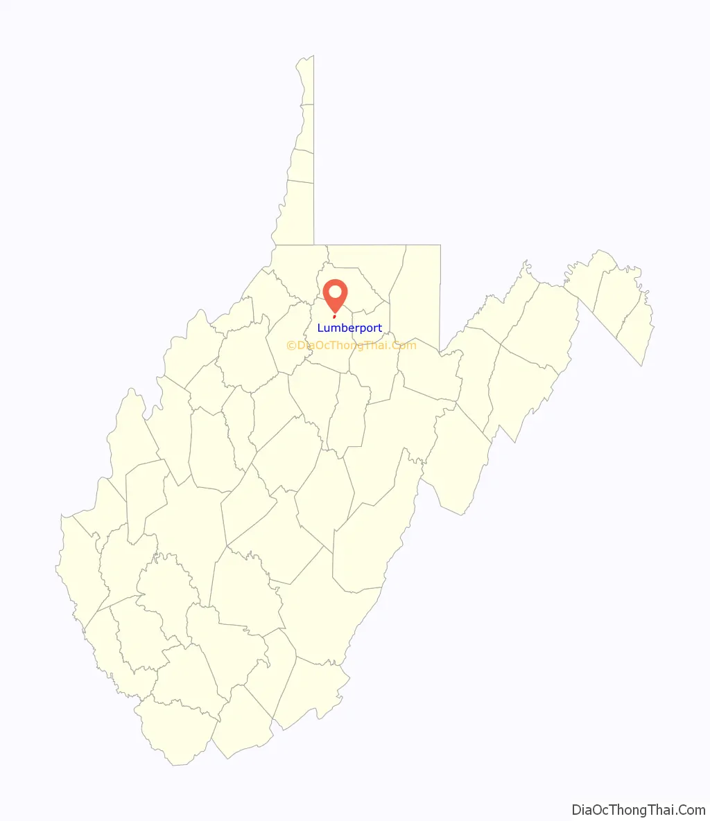
| County: | Harrison County |
| Elevation: | 925 ft (282 m) |
| Total Area: | 0.50 sq mi (1.30 km²) |
| Land Area: | 0.50 sq mi (1.30 km²) |
| Water Area: | 0.00 sq mi (0.00 km²) |
| Total Population: | 720 |
| Population Density: | 1,669.98/sq mi (644.40/km²) |
| ZIP code: | 26386 |
| Area code: | 304 |
| FIPS code: | 5449252 |
| GNISfeature ID: | 1542612 |
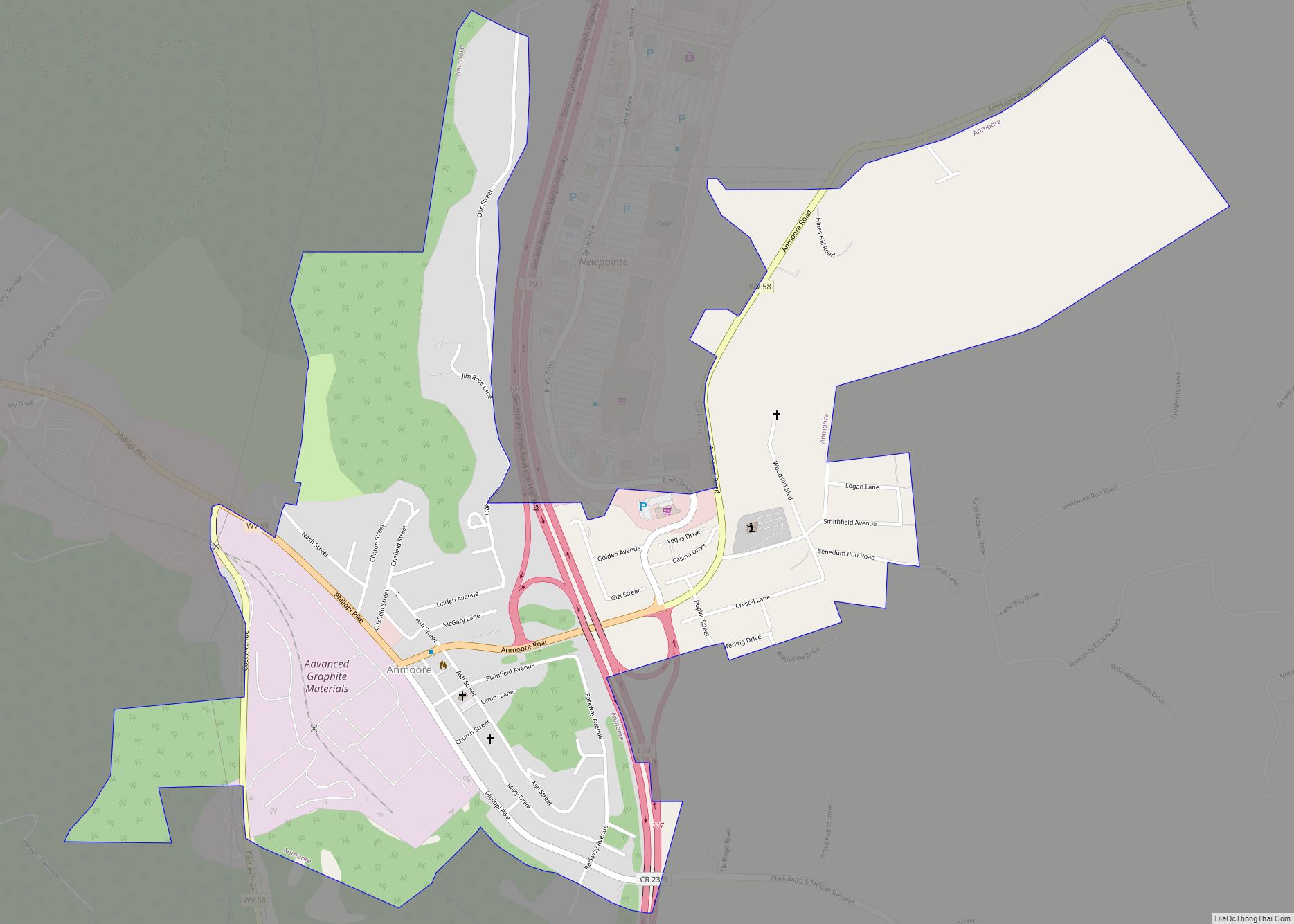
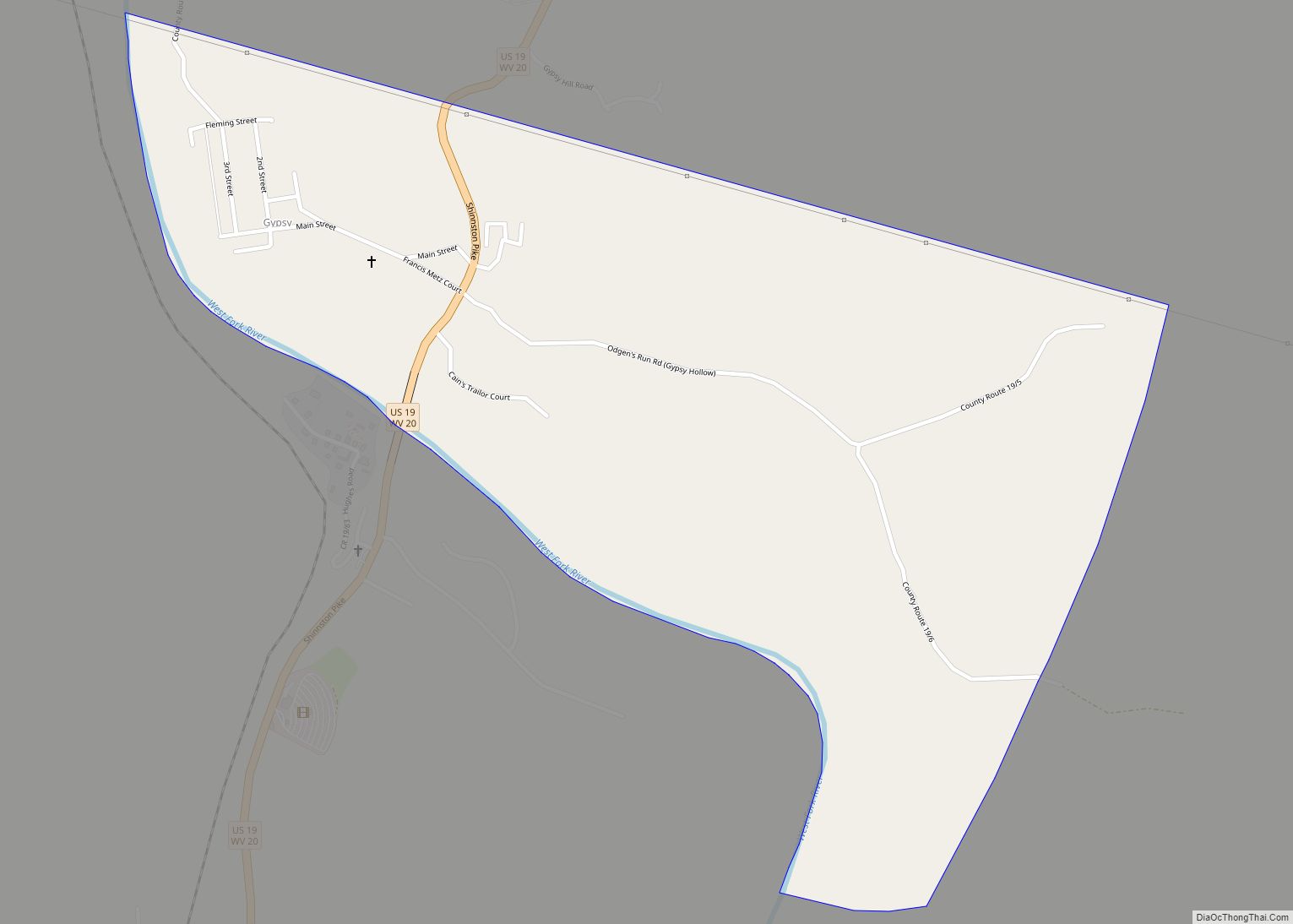
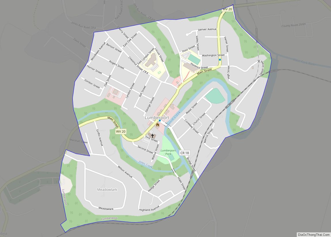
Online Interactive Map
Click on ![]() to view map in "full screen" mode.
to view map in "full screen" mode.
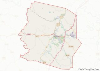
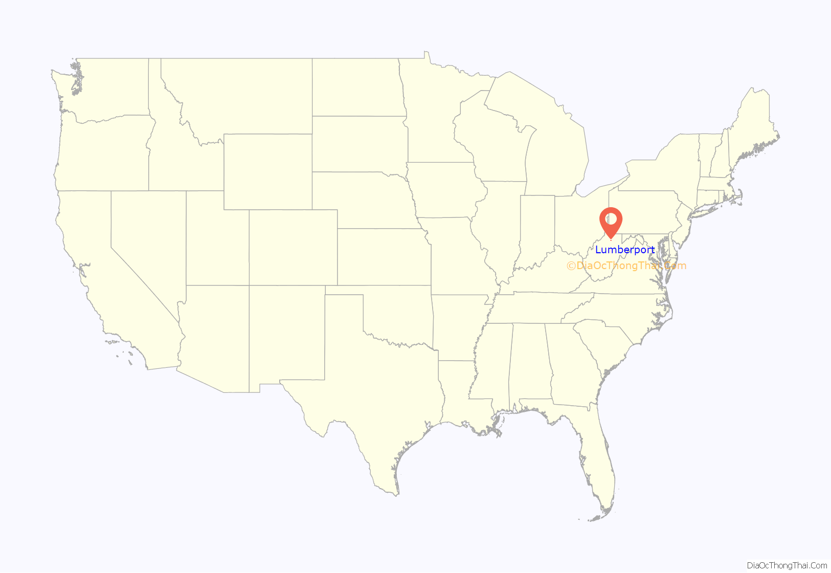
Lumberport location map. Where is Lumberport town?
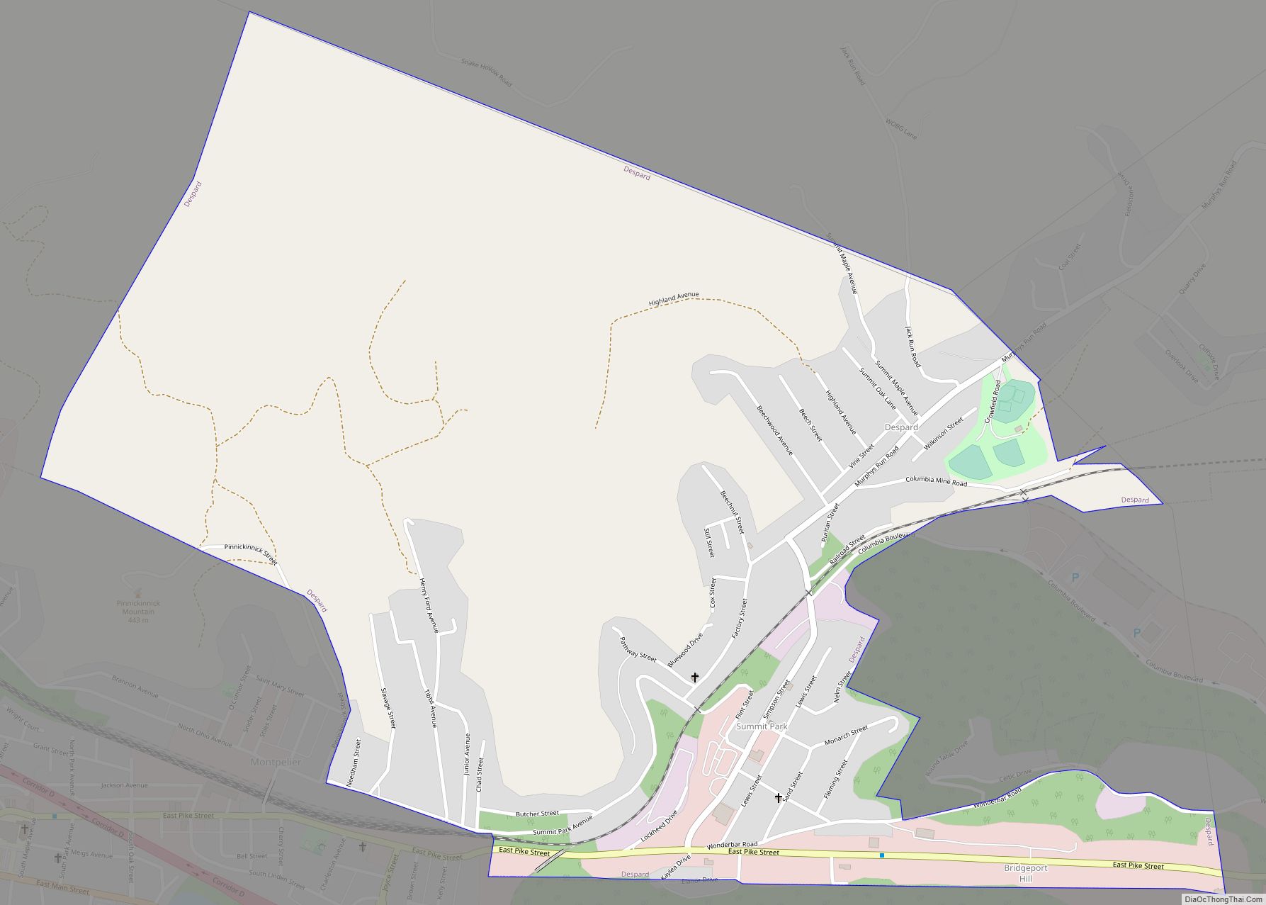
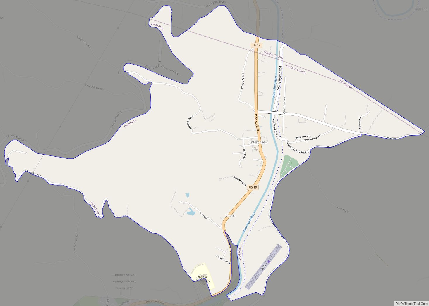
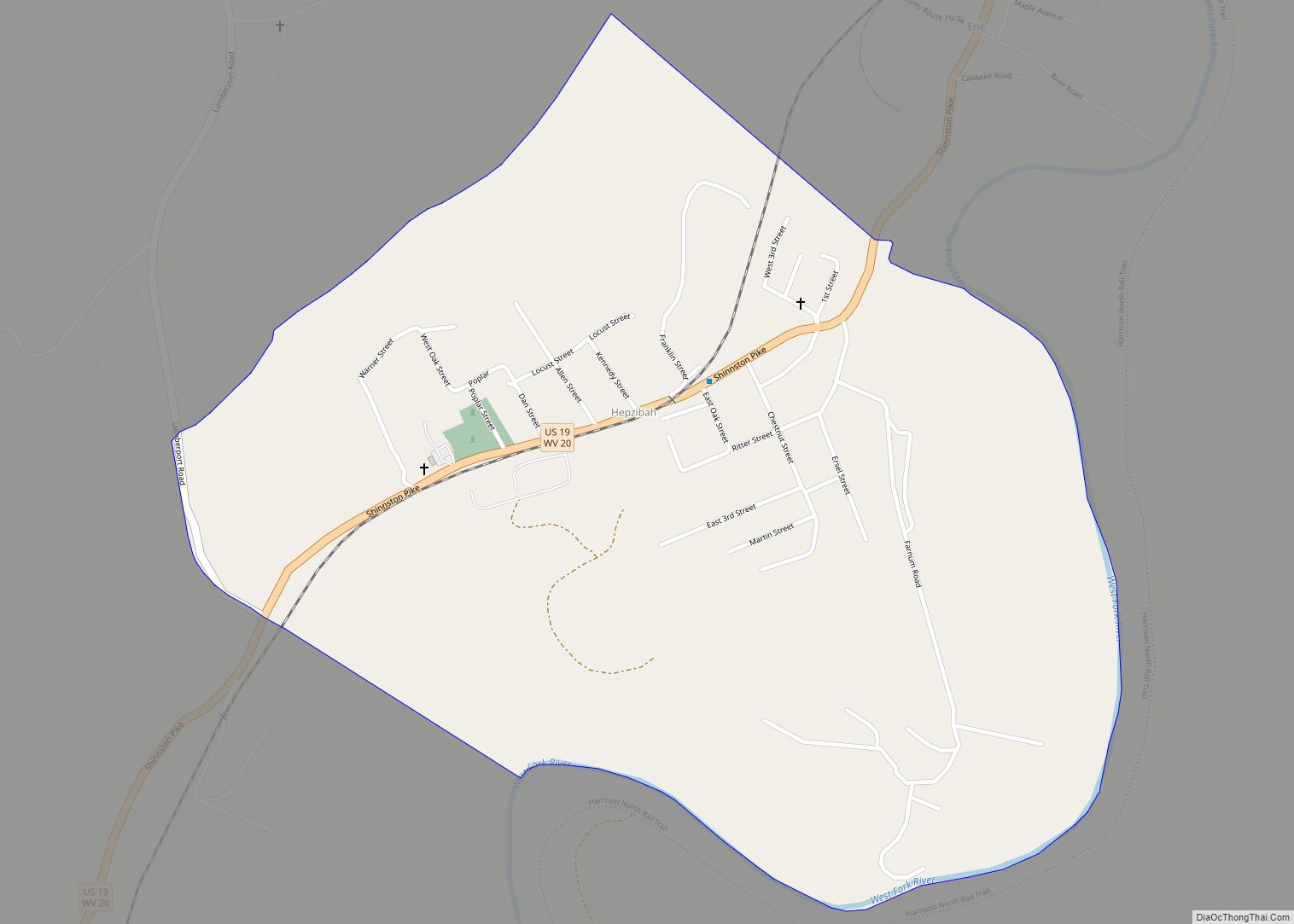
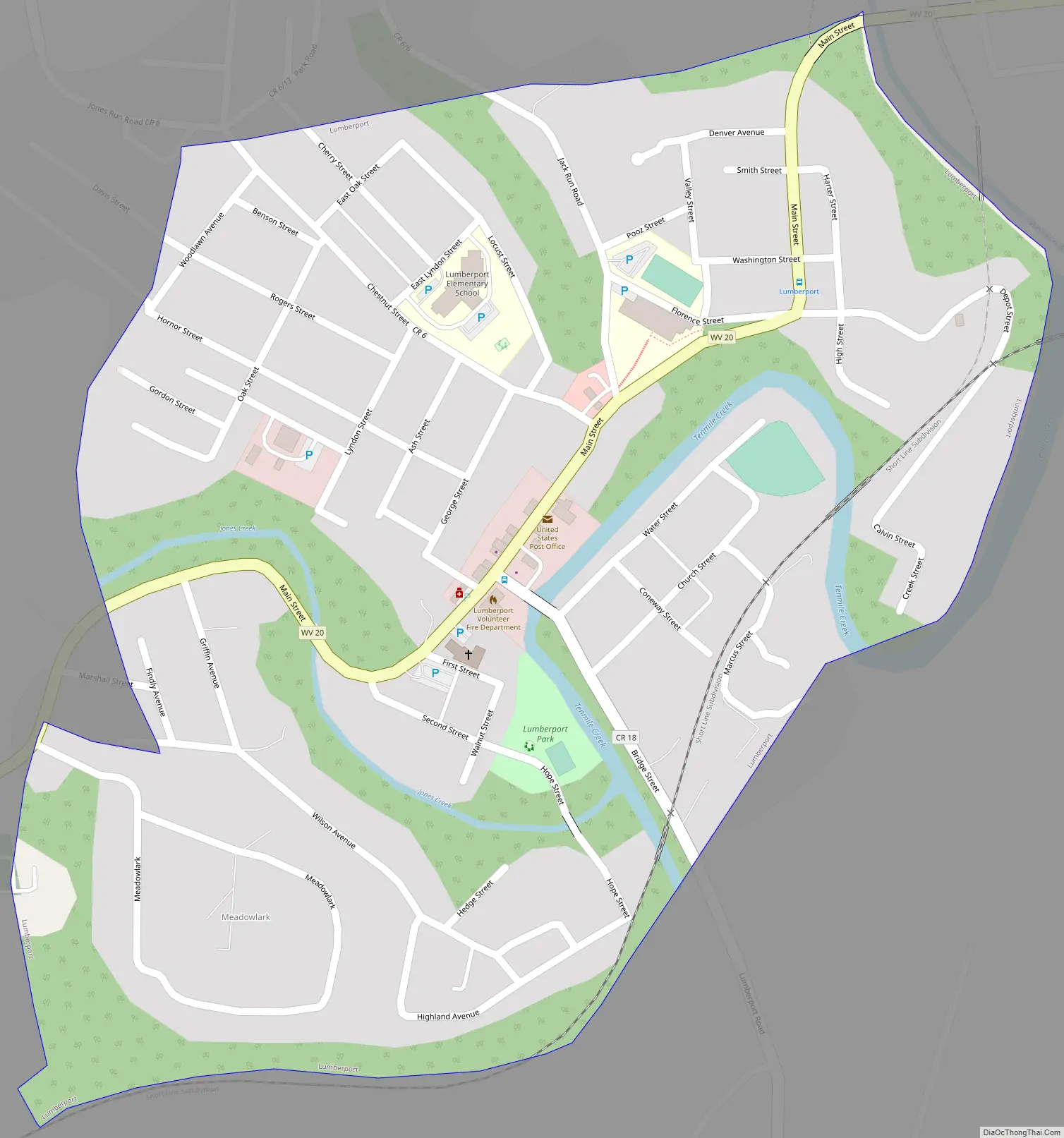
Lumberport Road Map
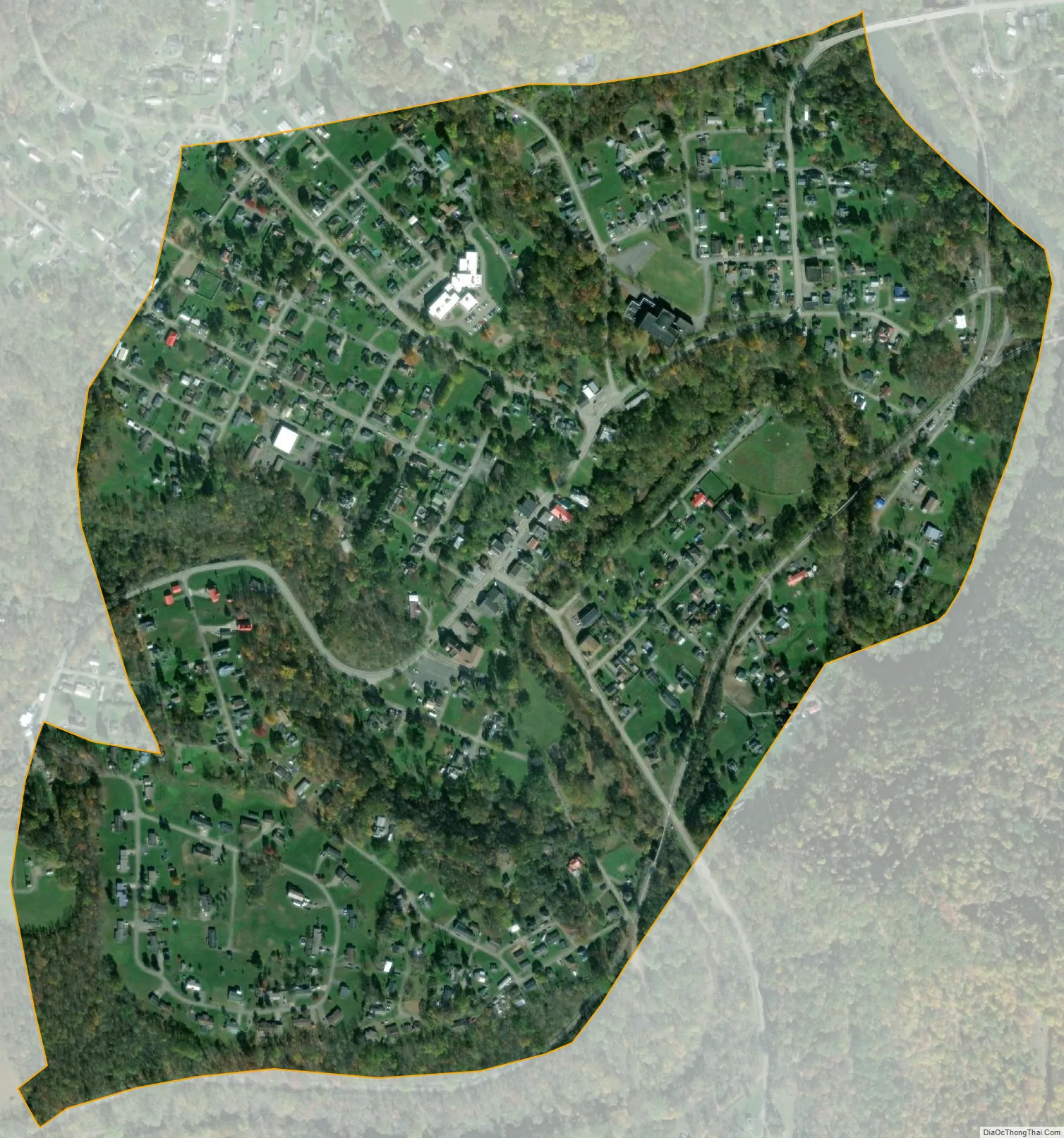
Lumberport city Satellite Map
Geography
Lumberport is located at 39°22′30″N 80°20′54″W / 39.37500°N 80.34833°W / 39.37500; -80.34833 (39.375041, -80.348213), at the confluence of Tenmile Creek and the West Fork River in northern Harrison County.
According to the United States Census Bureau, the town has a total area of 0.50 square miles (1.29 km), all land.
See also
Map of West Virginia State and its subdivision:- Barbour
- Berkeley
- Boone
- Braxton
- Brooke
- Cabell
- Calhoun
- Clay
- Doddridge
- Fayette
- Gilmer
- Grant
- Greenbrier
- Hampshire
- Hancock
- Hardy
- Harrison
- Jackson
- Jefferson
- Kanawha
- Lewis
- Lincoln
- Logan
- Marion
- Marshall
- Mason
- McDowell
- Mercer
- Mineral
- Mingo
- Monongalia
- Monroe
- Morgan
- Nicholas
- Ohio
- Pendleton
- Pleasants
- Pocahontas
- Preston
- Putnam
- Raleigh
- Randolph
- Ritchie
- Roane
- Summers
- Taylor
- Tucker
- Tyler
- Upshur
- Wayne
- Webster
- Wetzel
- Wirt
- Wood
- Wyoming
- Alabama
- Alaska
- Arizona
- Arkansas
- California
- Colorado
- Connecticut
- Delaware
- District of Columbia
- Florida
- Georgia
- Hawaii
- Idaho
- Illinois
- Indiana
- Iowa
- Kansas
- Kentucky
- Louisiana
- Maine
- Maryland
- Massachusetts
- Michigan
- Minnesota
- Mississippi
- Missouri
- Montana
- Nebraska
- Nevada
- New Hampshire
- New Jersey
- New Mexico
- New York
- North Carolina
- North Dakota
- Ohio
- Oklahoma
- Oregon
- Pennsylvania
- Rhode Island
- South Carolina
- South Dakota
- Tennessee
- Texas
- Utah
- Vermont
- Virginia
- Washington
- West Virginia
- Wisconsin
- Wyoming