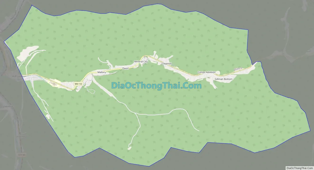
Mallory is a census-designated place (CDP) in Logan County, West Virginia, United States. The population was 1,654 at the 2010 census. The CDP contains the unincorporated communities, from west to east, of Huff Junction, Mallory, Davin, Mineral City, Claypool, Combs Addition, and Gillman Bottom.
The community was named after the local Mallory Coal Company.
| Name: | Mallory CDP |
|---|---|
| LSAD Code: | 57 |
| LSAD Description: | CDP (suffix) |
| State: | West Virginia |
| County: | Logan County |
| Elevation: | 787 ft (240 m) |
| Total Area: | 4.41 sq mi (11.43 km²) |
| Land Area: | 4.36 sq mi (11.30 km²) |
| Water Area: | 0.05 sq mi (0.13 km²) |
| Total Population: | 1,654 |
| Population Density: | 379/sq mi (146.3/km²) |
| ZIP code: | 25634 |
| Area code: | 304 & 681 |
| FIPS code: | 5450860 |
| GNISfeature ID: | 1555032 |
Online Interactive Map
Click on ![]() to view map in "full screen" mode.
to view map in "full screen" mode.
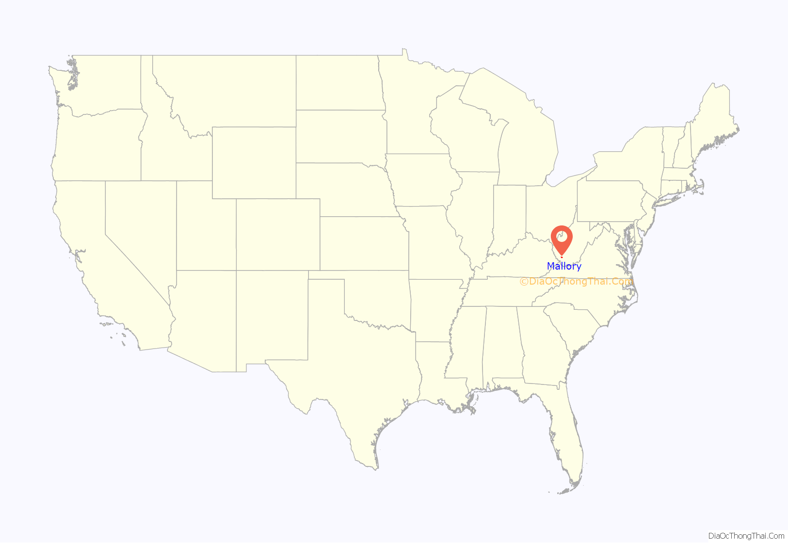
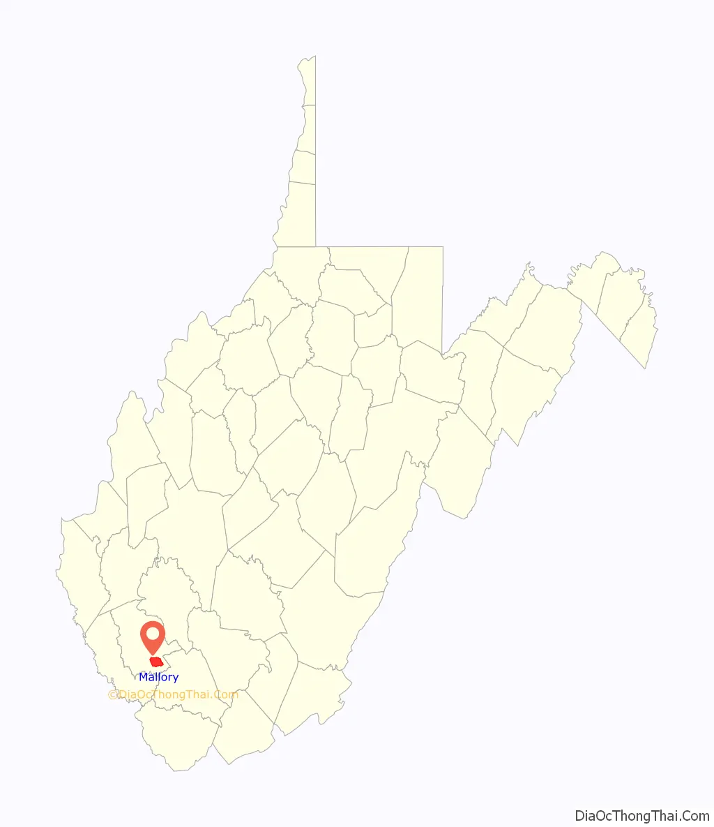
Mallory location map. Where is Mallory CDP?
Mallory Road Map
Mallory city Satellite Map

Geography
Mallory is located in southern Logan County at 37°43′49″N 81°50′9″W / 37.73028°N 81.83583°W / 37.73028; -81.83583 (37.730315, -81.835857), along Huff Creek and West Virginia Route 10. It is 3 miles (5 km) southeast of the town of Man and 16 miles (26 km) southeast of Logan, the county seat. Via Route 10, Mallory is 16 miles (26 km) northwest of Oceana.
According to the United States Census Bureau, the CDP has a total area of 4.4 square miles (11.4 km), of which 0.04 square miles (0.1 km), or 1.11%, are water. Via Huff Creek, Mallory is part of the Guyandotte River watershed, which flows north to the Ohio River near Huntington.
See also
Map of West Virginia State and its subdivision:- Barbour
- Berkeley
- Boone
- Braxton
- Brooke
- Cabell
- Calhoun
- Clay
- Doddridge
- Fayette
- Gilmer
- Grant
- Greenbrier
- Hampshire
- Hancock
- Hardy
- Harrison
- Jackson
- Jefferson
- Kanawha
- Lewis
- Lincoln
- Logan
- Marion
- Marshall
- Mason
- McDowell
- Mercer
- Mineral
- Mingo
- Monongalia
- Monroe
- Morgan
- Nicholas
- Ohio
- Pendleton
- Pleasants
- Pocahontas
- Preston
- Putnam
- Raleigh
- Randolph
- Ritchie
- Roane
- Summers
- Taylor
- Tucker
- Tyler
- Upshur
- Wayne
- Webster
- Wetzel
- Wirt
- Wood
- Wyoming
- Alabama
- Alaska
- Arizona
- Arkansas
- California
- Colorado
- Connecticut
- Delaware
- District of Columbia
- Florida
- Georgia
- Hawaii
- Idaho
- Illinois
- Indiana
- Iowa
- Kansas
- Kentucky
- Louisiana
- Maine
- Maryland
- Massachusetts
- Michigan
- Minnesota
- Mississippi
- Missouri
- Montana
- Nebraska
- Nevada
- New Hampshire
- New Jersey
- New Mexico
- New York
- North Carolina
- North Dakota
- Ohio
- Oklahoma
- Oregon
- Pennsylvania
- Rhode Island
- South Carolina
- South Dakota
- Tennessee
- Texas
- Utah
- Vermont
- Virginia
- Washington
- West Virginia
- Wisconsin
- Wyoming


