Marmet (pronounced mar-MET) is a city in Kanawha County, West Virginia, United States, along the Kanawha River. The population was 1,501 at the 2020 census.
The community was re-named in 1900 after the local Marmet Coal Company, which had the name of its proprietors Edwin and William Marmet. The town name was changed from Brownsville. The town name prior to 1829 was Elizaville that was founded in 1780 by Leonard Morris.
| Name: | Marmet city |
|---|---|
| LSAD Code: | 25 |
| LSAD Description: | city (suffix) |
| State: | West Virginia |
| County: | Kanawha County |
| Elevation: | 610 ft (186 m) |
| Total Area: | 1.41 sq mi (3.65 km²) |
| Land Area: | 1.27 sq mi (3.30 km²) |
| Water Area: | 0.14 sq mi (0.35 km²) |
| Total Population: | 1,501 |
| Population Density: | 1,072.21/sq mi (414.13/km²) |
| ZIP code: | 25315, 25365 |
| Area code: | 304 & 681 |
| FIPS code: | 5451724 |
| GNISfeature ID: | 1542771 |
| Website: | townofmarmetwv.us |
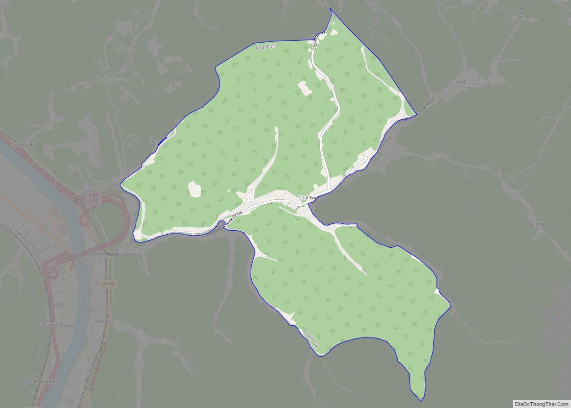
Online Interactive Map
Click on ![]() to view map in "full screen" mode.
to view map in "full screen" mode.
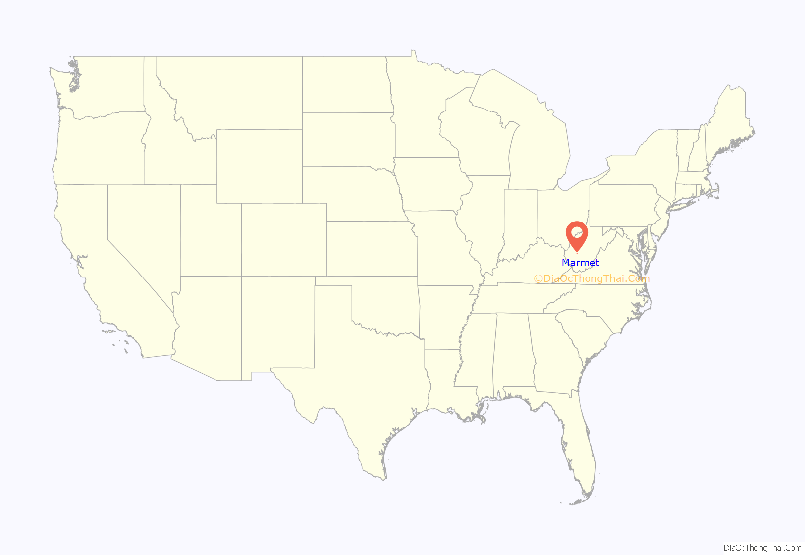
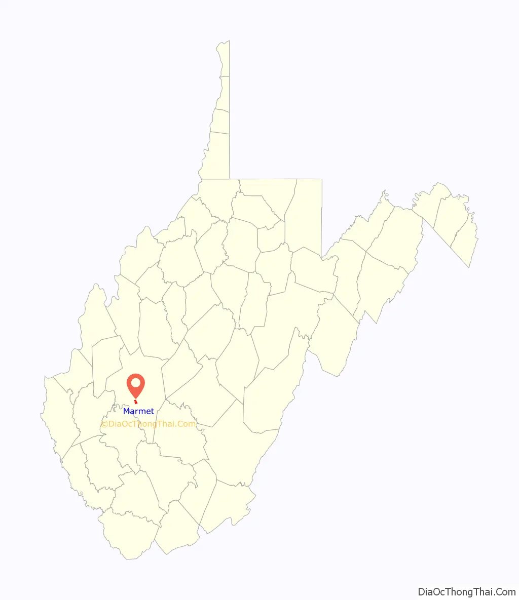
Marmet location map. Where is Marmet city?
Marmet Road Map
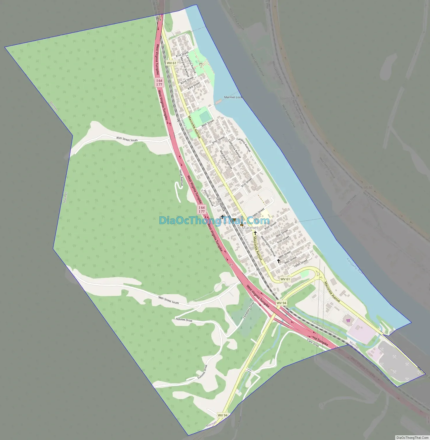
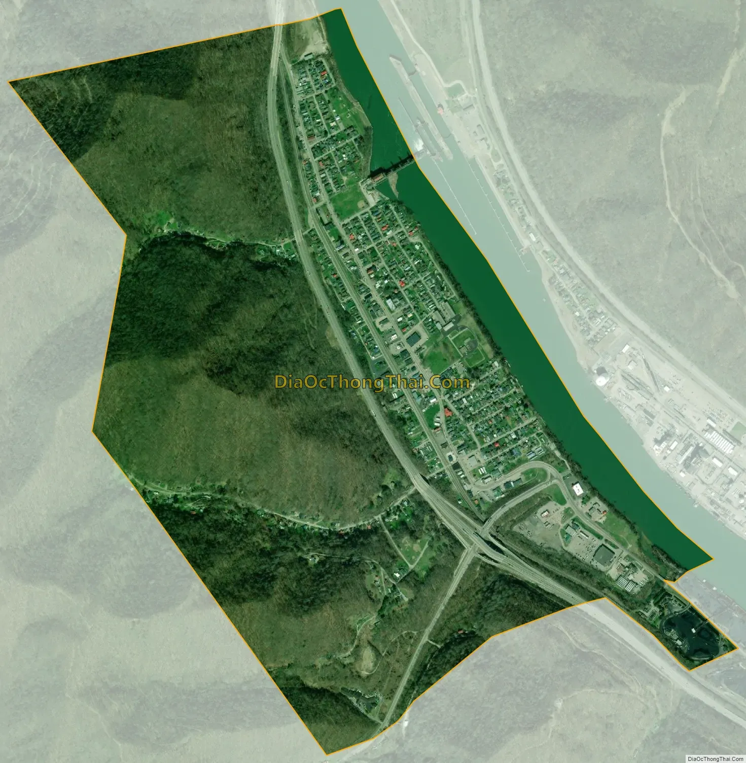
Marmet city Satellite Map
Geography
Marmet is located at 38°14′43″N 81°34′3″W / 38.24528°N 81.56750°W / 38.24528; -81.56750 (38.245148, -81.567510).
According to the United States Census Bureau, the city has a total area of 1.41 square miles (3.65 km), of which 1.27 square miles (3.29 km) is land and 0.14 square miles (0.36 km) is water.
See also
Map of West Virginia State and its subdivision:- Barbour
- Berkeley
- Boone
- Braxton
- Brooke
- Cabell
- Calhoun
- Clay
- Doddridge
- Fayette
- Gilmer
- Grant
- Greenbrier
- Hampshire
- Hancock
- Hardy
- Harrison
- Jackson
- Jefferson
- Kanawha
- Lewis
- Lincoln
- Logan
- Marion
- Marshall
- Mason
- McDowell
- Mercer
- Mineral
- Mingo
- Monongalia
- Monroe
- Morgan
- Nicholas
- Ohio
- Pendleton
- Pleasants
- Pocahontas
- Preston
- Putnam
- Raleigh
- Randolph
- Ritchie
- Roane
- Summers
- Taylor
- Tucker
- Tyler
- Upshur
- Wayne
- Webster
- Wetzel
- Wirt
- Wood
- Wyoming
- Alabama
- Alaska
- Arizona
- Arkansas
- California
- Colorado
- Connecticut
- Delaware
- District of Columbia
- Florida
- Georgia
- Hawaii
- Idaho
- Illinois
- Indiana
- Iowa
- Kansas
- Kentucky
- Louisiana
- Maine
- Maryland
- Massachusetts
- Michigan
- Minnesota
- Mississippi
- Missouri
- Montana
- Nebraska
- Nevada
- New Hampshire
- New Jersey
- New Mexico
- New York
- North Carolina
- North Dakota
- Ohio
- Oklahoma
- Oregon
- Pennsylvania
- Rhode Island
- South Carolina
- South Dakota
- Tennessee
- Texas
- Utah
- Vermont
- Virginia
- Washington
- West Virginia
- Wisconsin
- Wyoming