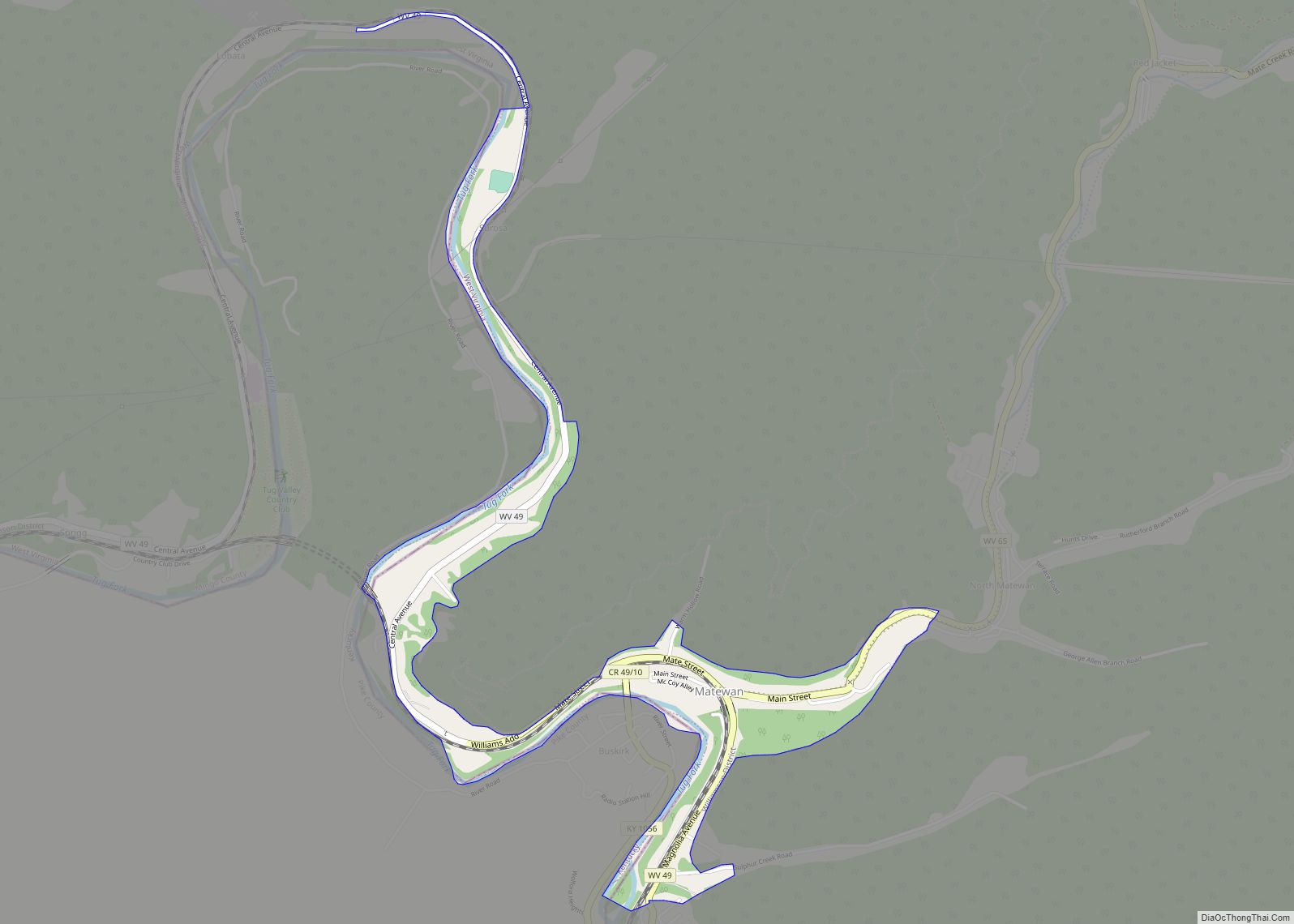
Matewan (/ˈmeɪtwɒn/) is a town in Mingo County, West Virginia, United States at the confluence of the Tug Fork River and Mate Creek. The population was 499 at the 2010 census. The Norfolk Southern Railway’s Pocahontas District passes through the town. It was a center of bitter labor coal mining labor conflict in the early 20th Century, which culminated in the Battle of Matewan in 1920.
| Name: | Matewan town |
|---|---|
| LSAD Code: | 43 |
| LSAD Description: | town (suffix) |
| State: | West Virginia |
| County: | Mingo County |
| Elevation: | 705 ft (215 m) |
| Total Area: | 0.55 sq mi (1.43 km²) |
| Land Area: | 0.55 sq mi (1.43 km²) |
| Water Area: | 0.00 sq mi (0.00 km²) |
| Total Population: | 499 |
| Population Density: | 766.73/sq mi (296.18/km²) |
| ZIP code: | 25678 |
| Area code: | 304 |
| FIPS code: | 5452324 |
| GNISfeature ID: | 1542862 |
Online Interactive Map
Click on ![]() to view map in "full screen" mode.
to view map in "full screen" mode.
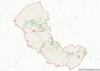
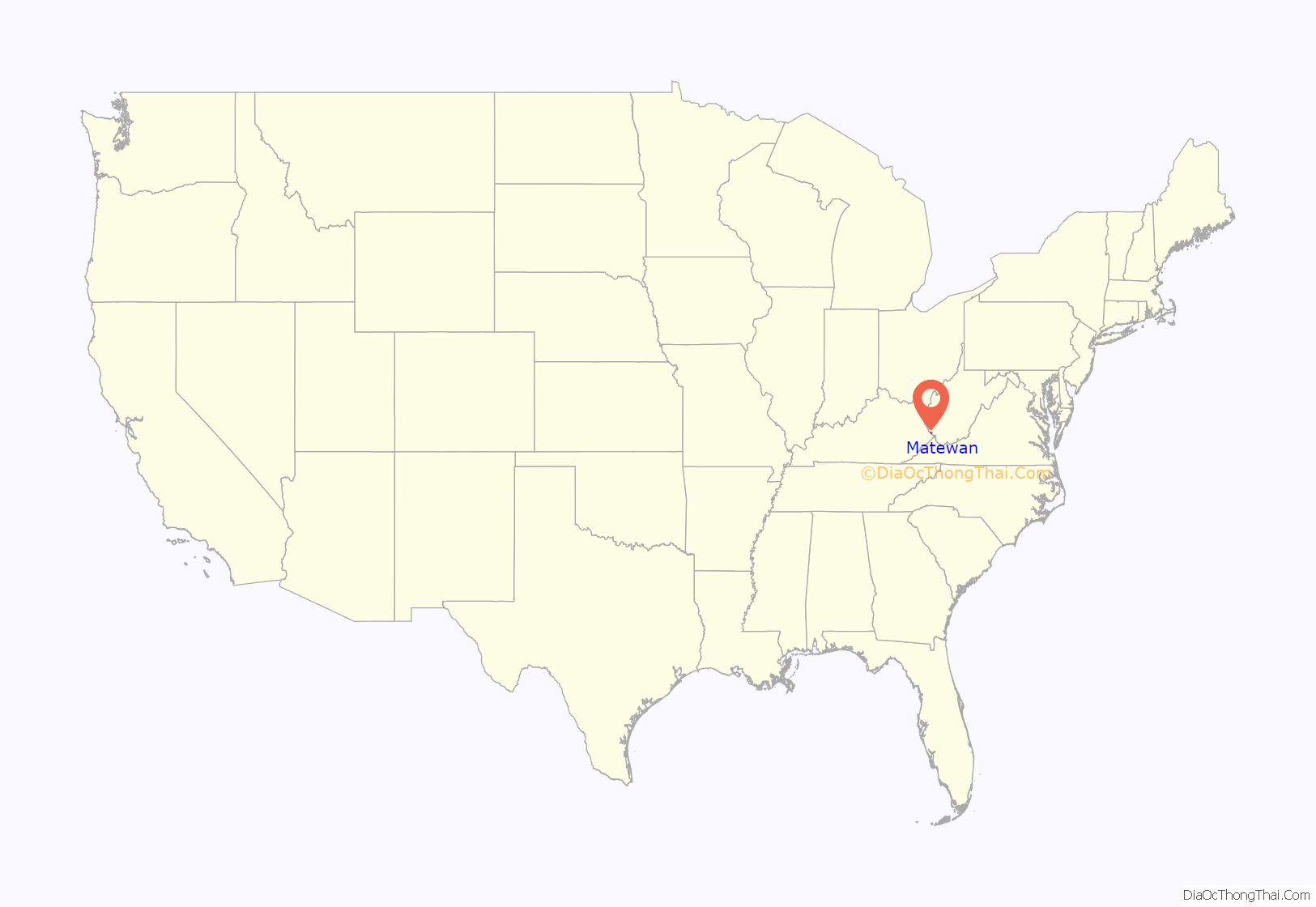
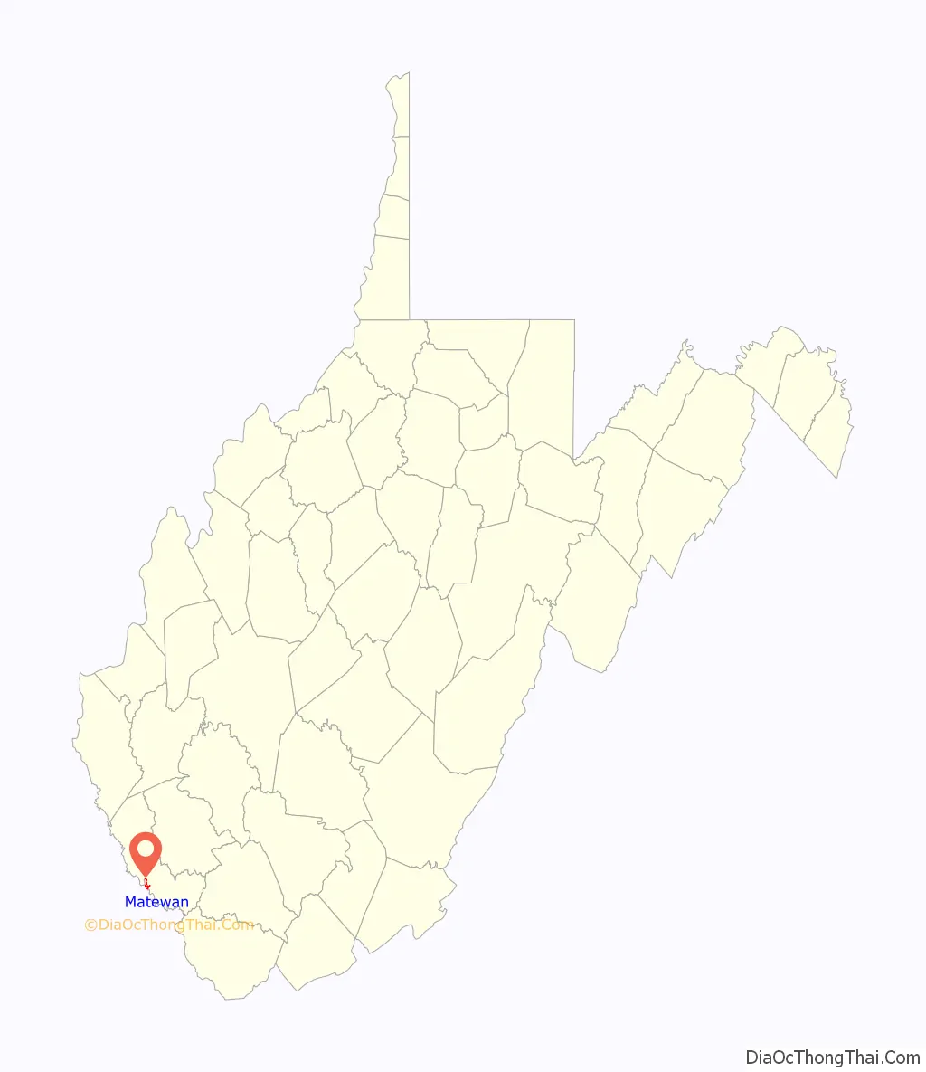
Matewan location map. Where is Matewan town?
History
“Mate Creek Post Office” was established on February 18, 1875. Early postmasters included Joseph Murphy (February 18, 1875) and Elias Hatfield (January 13, 1882). The latter was a brother to William Anderson “Devil Anse” Hatfield, father to future West Virginia governor Henry Drury Hatfield, and participant in the Hatfield-McCoy Feud.
By 1885, Mate Creek PO was discontinued and replaced by “Sidney Post Office”. Elliot Rutherford, a Logan County sheriff, was postmaster beginning on September 3, 1885.
In 1890, Erskine Hazard, a civil engineer from the Norfolk and Western Railway, laid out the town and drafted the first map of the community. On January 13, 1893, Sidney was renamed Matewan. The town was named after Matteawan (now called Beacon), a town in Dutchess County, Upstate New York. Local residents, however, changed the spelling and pronunciation. Early postmasters for Matewan included Elliot Rutherford (January 13, 1893), George R. Buskirk (May 1, 1894), George Bonzo (May 17, 1897), Mary White (December 23, 1904), A.L. Hatfield (January 26, 1915), Emma Chafin (August 2, 1921), Mary White (November 17, 1921), and Neville L. Chancey (June 20, 1930).
Attempts to unionize by coal miners in 1920 led to the Battle of Matewan between miners and Baldwin–Felts detectives, which was the inspiration for the 1987 movie Matewan. The town’s history is on display at the Matewan Depot, which includes a small museum. The West Virginia Mine Wars Museum, housed in a building owned by the United Mine Workers of America, provides history for the mine wars.
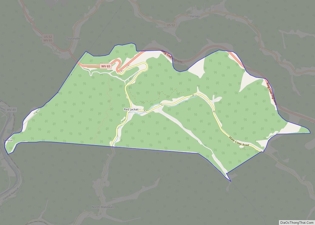
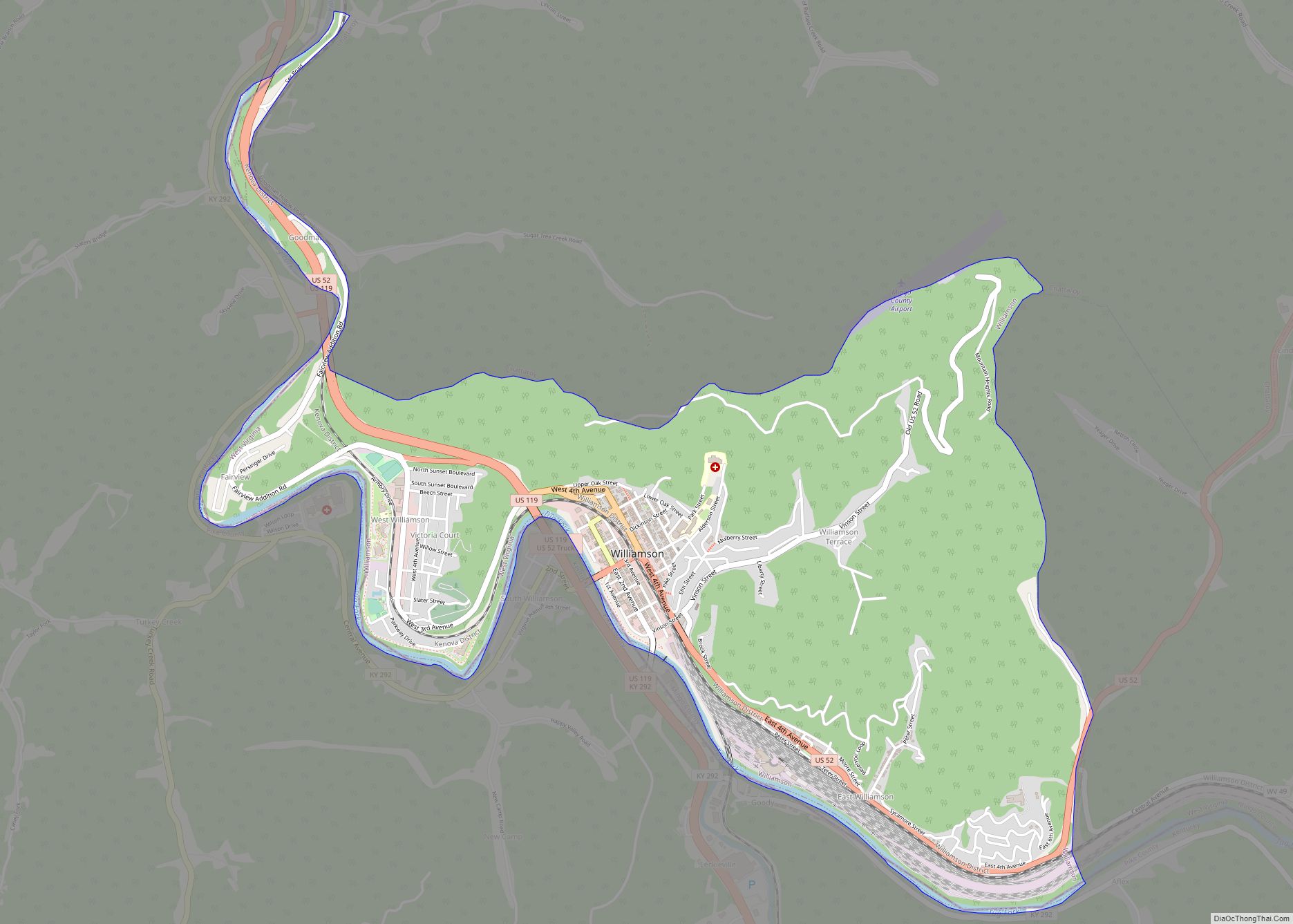
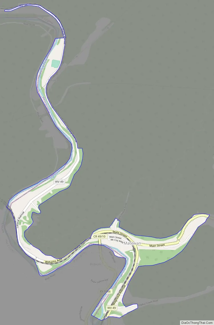
Matewan Road Map
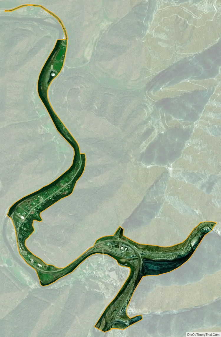
Matewan city Satellite Map
Geography
According to the United States Census Bureau, the town has a total area of 0.56 square miles (1.45 km), all land.
See also
Map of West Virginia State and its subdivision:- Barbour
- Berkeley
- Boone
- Braxton
- Brooke
- Cabell
- Calhoun
- Clay
- Doddridge
- Fayette
- Gilmer
- Grant
- Greenbrier
- Hampshire
- Hancock
- Hardy
- Harrison
- Jackson
- Jefferson
- Kanawha
- Lewis
- Lincoln
- Logan
- Marion
- Marshall
- Mason
- McDowell
- Mercer
- Mineral
- Mingo
- Monongalia
- Monroe
- Morgan
- Nicholas
- Ohio
- Pendleton
- Pleasants
- Pocahontas
- Preston
- Putnam
- Raleigh
- Randolph
- Ritchie
- Roane
- Summers
- Taylor
- Tucker
- Tyler
- Upshur
- Wayne
- Webster
- Wetzel
- Wirt
- Wood
- Wyoming
- Alabama
- Alaska
- Arizona
- Arkansas
- California
- Colorado
- Connecticut
- Delaware
- District of Columbia
- Florida
- Georgia
- Hawaii
- Idaho
- Illinois
- Indiana
- Iowa
- Kansas
- Kentucky
- Louisiana
- Maine
- Maryland
- Massachusetts
- Michigan
- Minnesota
- Mississippi
- Missouri
- Montana
- Nebraska
- Nevada
- New Hampshire
- New Jersey
- New Mexico
- New York
- North Carolina
- North Dakota
- Ohio
- Oklahoma
- Oregon
- Pennsylvania
- Rhode Island
- South Carolina
- South Dakota
- Tennessee
- Texas
- Utah
- Vermont
- Virginia
- Washington
- West Virginia
- Wisconsin
- Wyoming