Maybeury is a census-designated place (CDP) in McDowell County, West Virginia, United States, located on U.S. Route 52 between Northfork and Bramwell. As of the 2010 census, its population was 234.
Maybeury was built by Shamokin Coal & Coke Co. circa 1890, and it was named for coal operators James May and William Beury.
| Name: | Maybeury CDP |
|---|---|
| LSAD Code: | 57 |
| LSAD Description: | CDP (suffix) |
| State: | West Virginia |
| County: | McDowell County |
| Elevation: | 2,073 ft (632 m) |
| Total Area: | 1.668 sq mi (4.32 km²) |
| Land Area: | 1.667 sq mi (4.32 km²) |
| Water Area: | 0.001 sq mi (0.003 km²) |
| Total Population: | 234 |
| Population Density: | 140/sq mi (54/km²) |
| ZIP code: | 24861 |
| Area code: | 304 |
| FIPS code: | 5452588 |
| GNISfeature ID: | 1555071 |
Online Interactive Map
Click on ![]() to view map in "full screen" mode.
to view map in "full screen" mode.
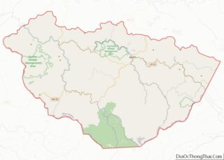
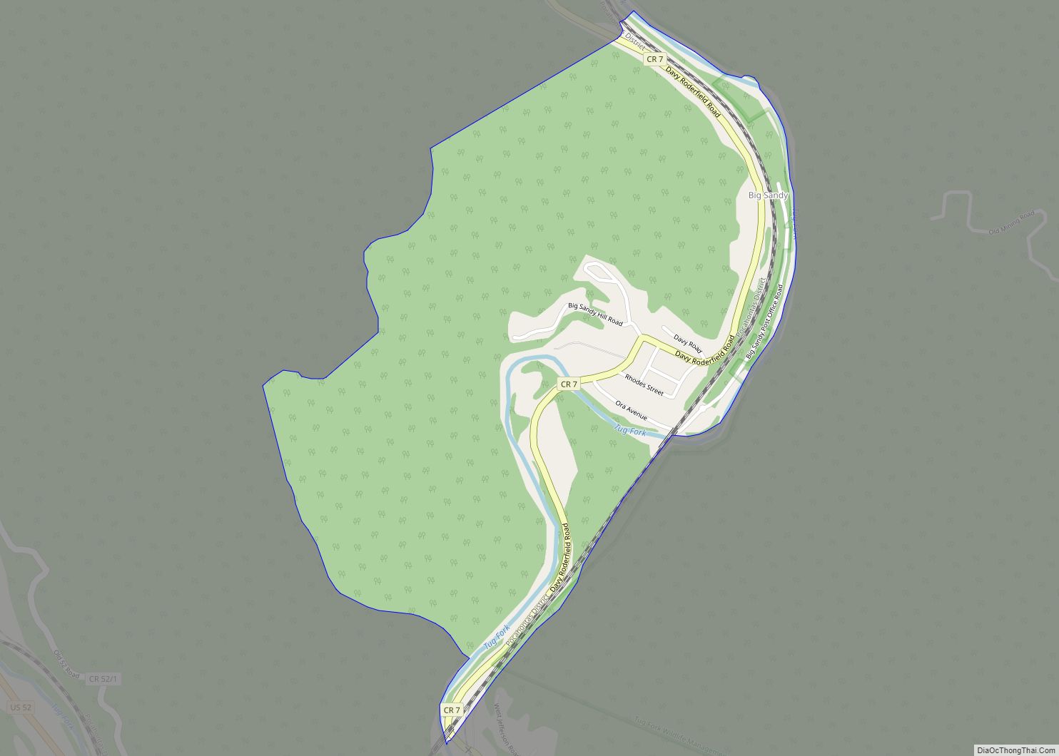
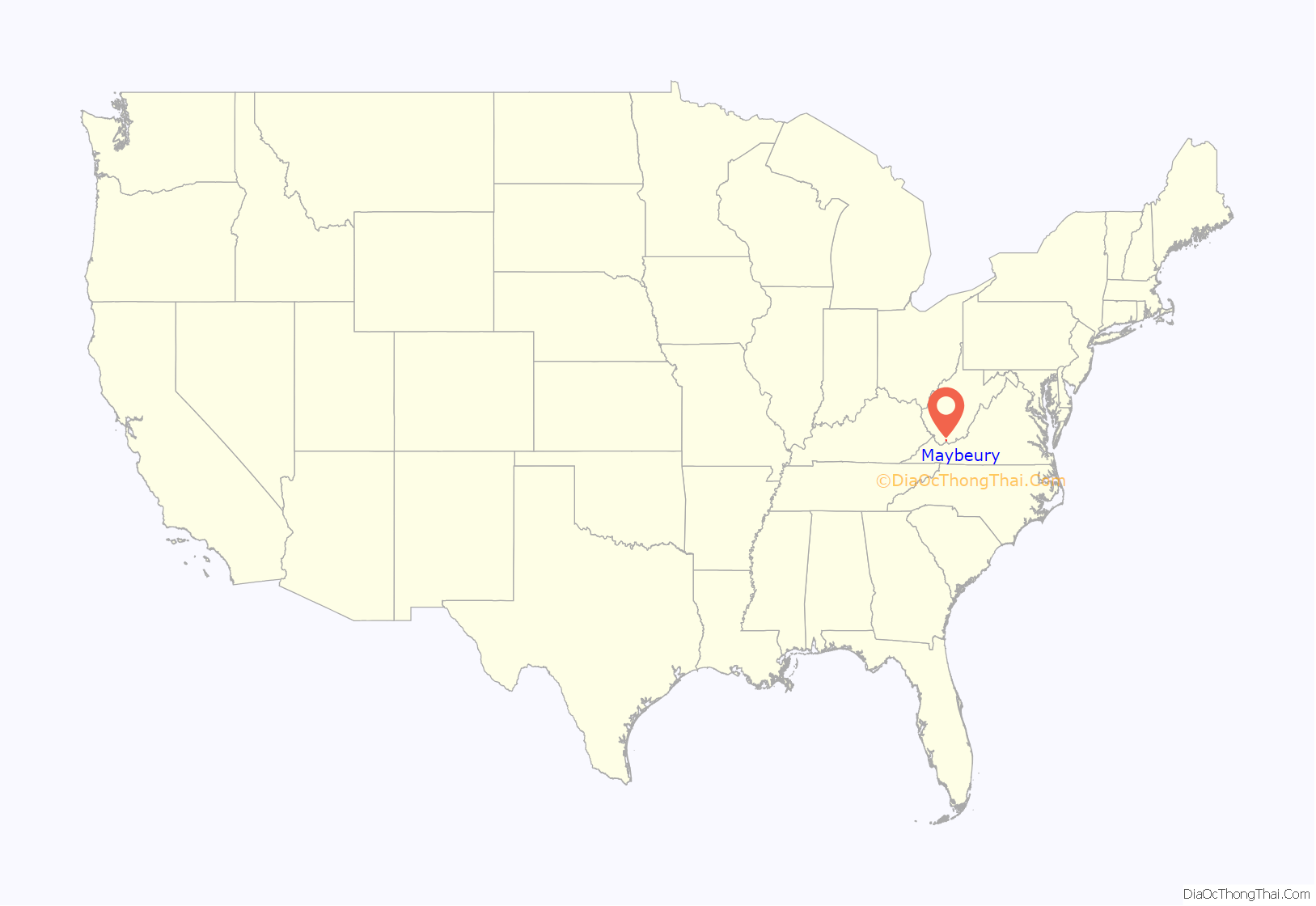
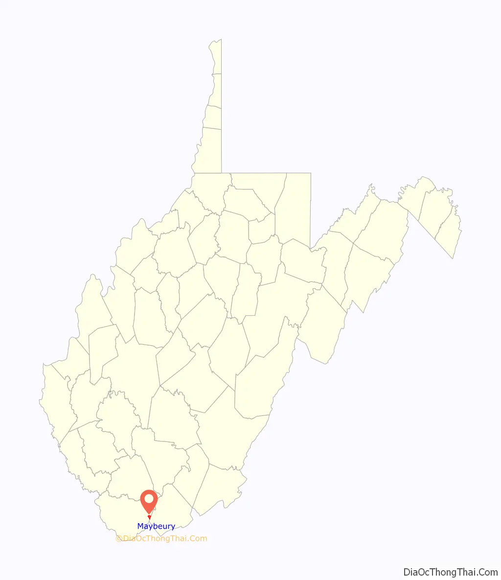
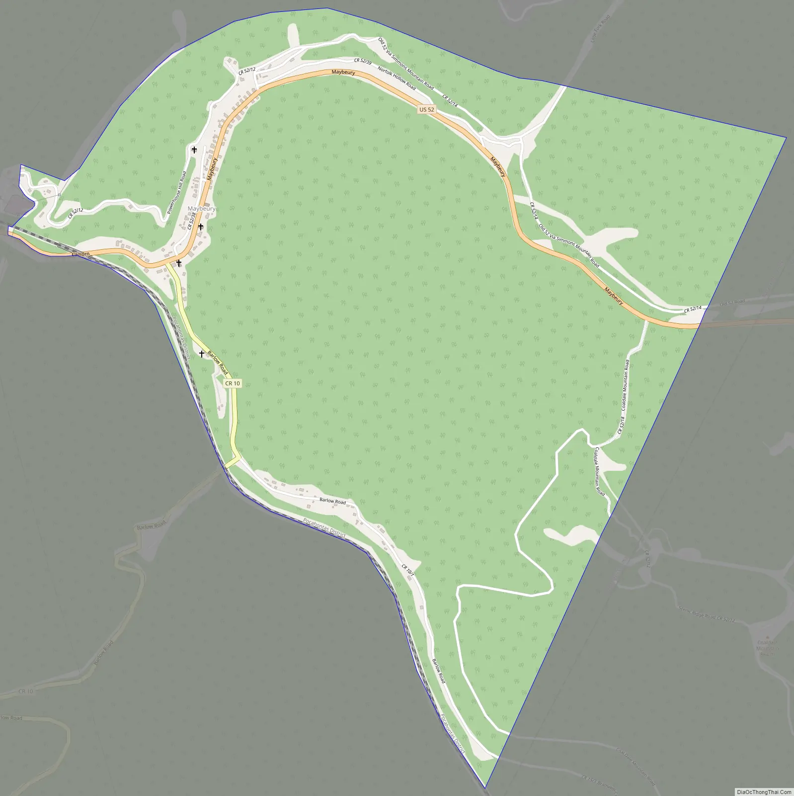
Maybeury location map. Where is Maybeury CDP?
History
In 1890, it was the largest town in McDowell County, with a population of 875. This was due to the coal mining start-ups in the town. Maybeury was the fifth largest town/city south of the state capital, Charleston, and listed as the 31st largest town/city in the state.
John F. Kennedy stopped in Maybeury at the Esso station during his presidential primary campaign in 1960. During a speech in Canton, Ohio on September 27, 1960, he stated: “McDowell County mines more coal than it ever has in its history, probably more coal than any county in the United States and yet there are more people getting surplus food packages in McDowell County than any county in the United States. The reason is that machines are doing the jobs of men, and we have not been able to find jobs for those men.”
The now demolished Pocahontas Fuel Company Store was listed on the National Register of Historic Places in 1992.
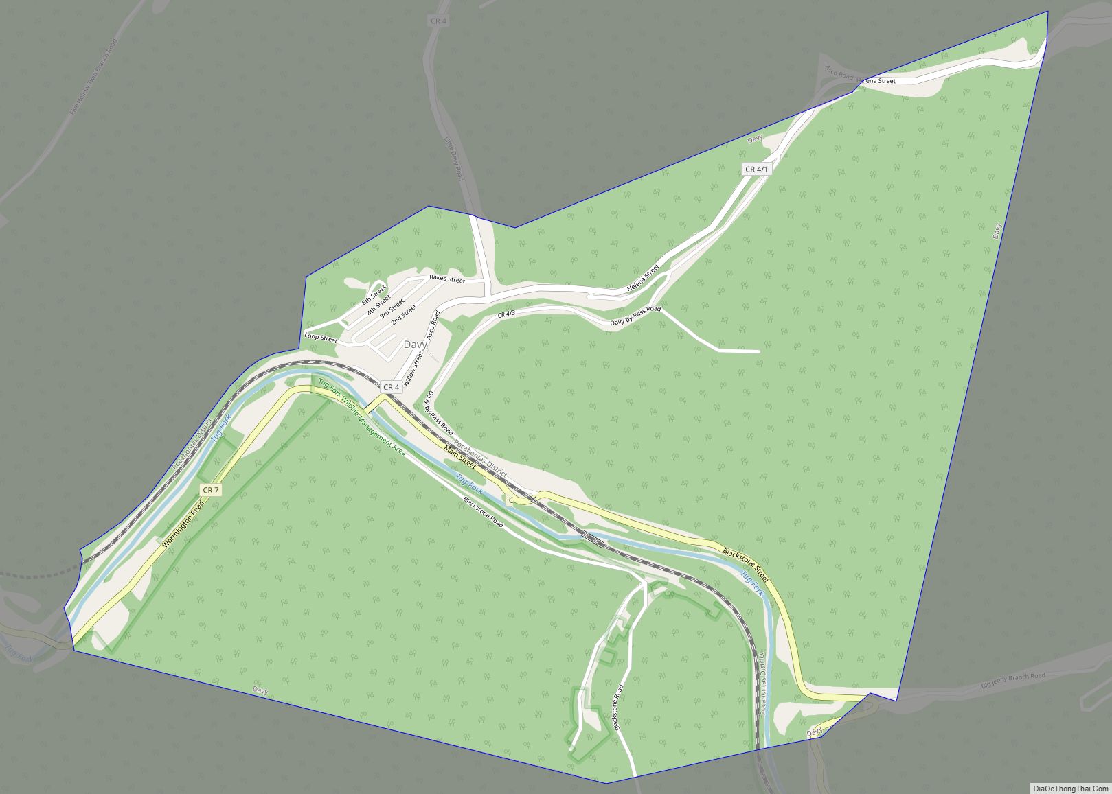
Maybeury Road Map
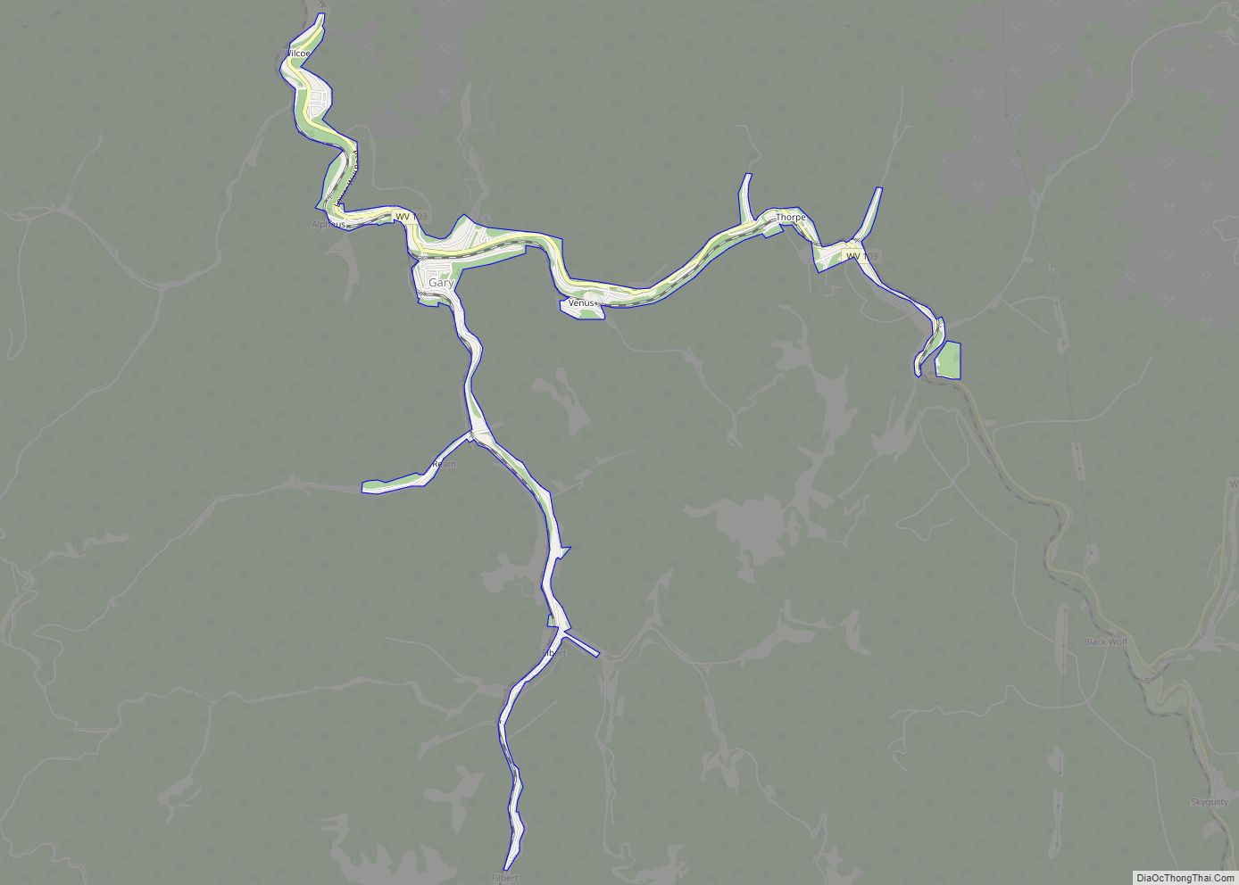
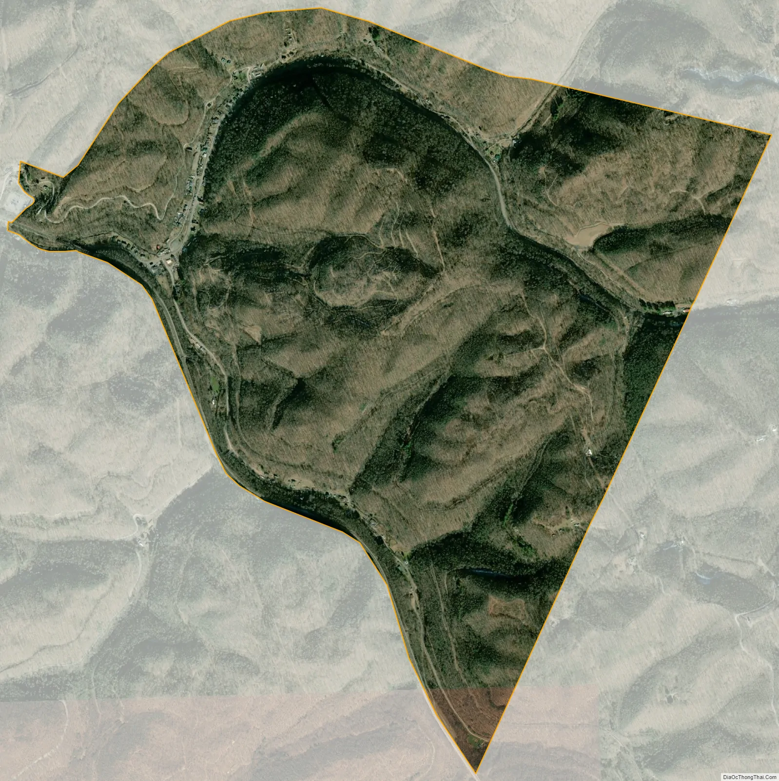
Maybeury city Satellite Map
See also
Map of West Virginia State and its subdivision:- Barbour
- Berkeley
- Boone
- Braxton
- Brooke
- Cabell
- Calhoun
- Clay
- Doddridge
- Fayette
- Gilmer
- Grant
- Greenbrier
- Hampshire
- Hancock
- Hardy
- Harrison
- Jackson
- Jefferson
- Kanawha
- Lewis
- Lincoln
- Logan
- Marion
- Marshall
- Mason
- McDowell
- Mercer
- Mineral
- Mingo
- Monongalia
- Monroe
- Morgan
- Nicholas
- Ohio
- Pendleton
- Pleasants
- Pocahontas
- Preston
- Putnam
- Raleigh
- Randolph
- Ritchie
- Roane
- Summers
- Taylor
- Tucker
- Tyler
- Upshur
- Wayne
- Webster
- Wetzel
- Wirt
- Wood
- Wyoming
- Alabama
- Alaska
- Arizona
- Arkansas
- California
- Colorado
- Connecticut
- Delaware
- District of Columbia
- Florida
- Georgia
- Hawaii
- Idaho
- Illinois
- Indiana
- Iowa
- Kansas
- Kentucky
- Louisiana
- Maine
- Maryland
- Massachusetts
- Michigan
- Minnesota
- Mississippi
- Missouri
- Montana
- Nebraska
- Nevada
- New Hampshire
- New Jersey
- New Mexico
- New York
- North Carolina
- North Dakota
- Ohio
- Oklahoma
- Oregon
- Pennsylvania
- Rhode Island
- South Carolina
- South Dakota
- Tennessee
- Texas
- Utah
- Vermont
- Virginia
- Washington
- West Virginia
- Wisconsin
- Wyoming