Middlebourne is a town in Tyler County, West Virginia, United States. The population was 715 at the 2020 census. It serves as the county seat of Tyler County.
| Name: | Middlebourne town |
|---|---|
| LSAD Code: | 43 |
| LSAD Description: | town (suffix) |
| State: | West Virginia |
| County: | Tyler County |
| Elevation: | 735 ft (224 m) |
| Total Area: | 0.38 sq mi (0.98 km²) |
| Land Area: | 0.36 sq mi (0.93 km²) |
| Water Area: | 0.02 sq mi (0.04 km²) |
| Total Population: | 715 |
| Population Density: | 2,044.32/sq mi (789.98/km²) |
| ZIP code: | 26149 |
| Area code: | 304 |
| FIPS code: | 5453572 |
| GNISfeature ID: | 1543226 |
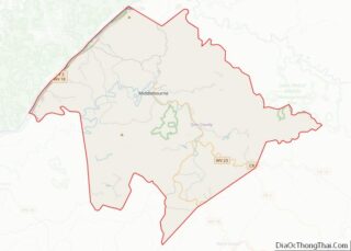
Online Interactive Map
Click on ![]() to view map in "full screen" mode.
to view map in "full screen" mode.
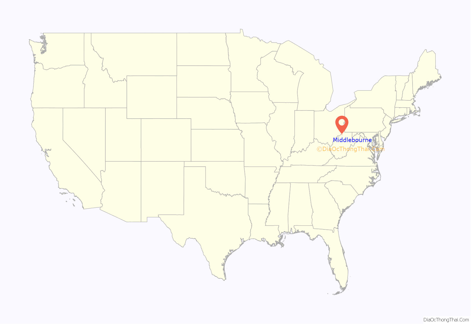
Middlebourne location map. Where is Middlebourne town?
History
Middlebourne was established by an enactment of the Virginia General Assembly in 1813. Two explanations have been given for the name of the town: One is that it was located halfway between Pennsylvania and a series of salt wells along the Kanawha River upstream of Charleston; the other is that it is located midway between the source and the mouth of Middle Island Creek, which flows through the town.
The Tyler County Courthouse and Jail is listed on the National Register of Historic Places.
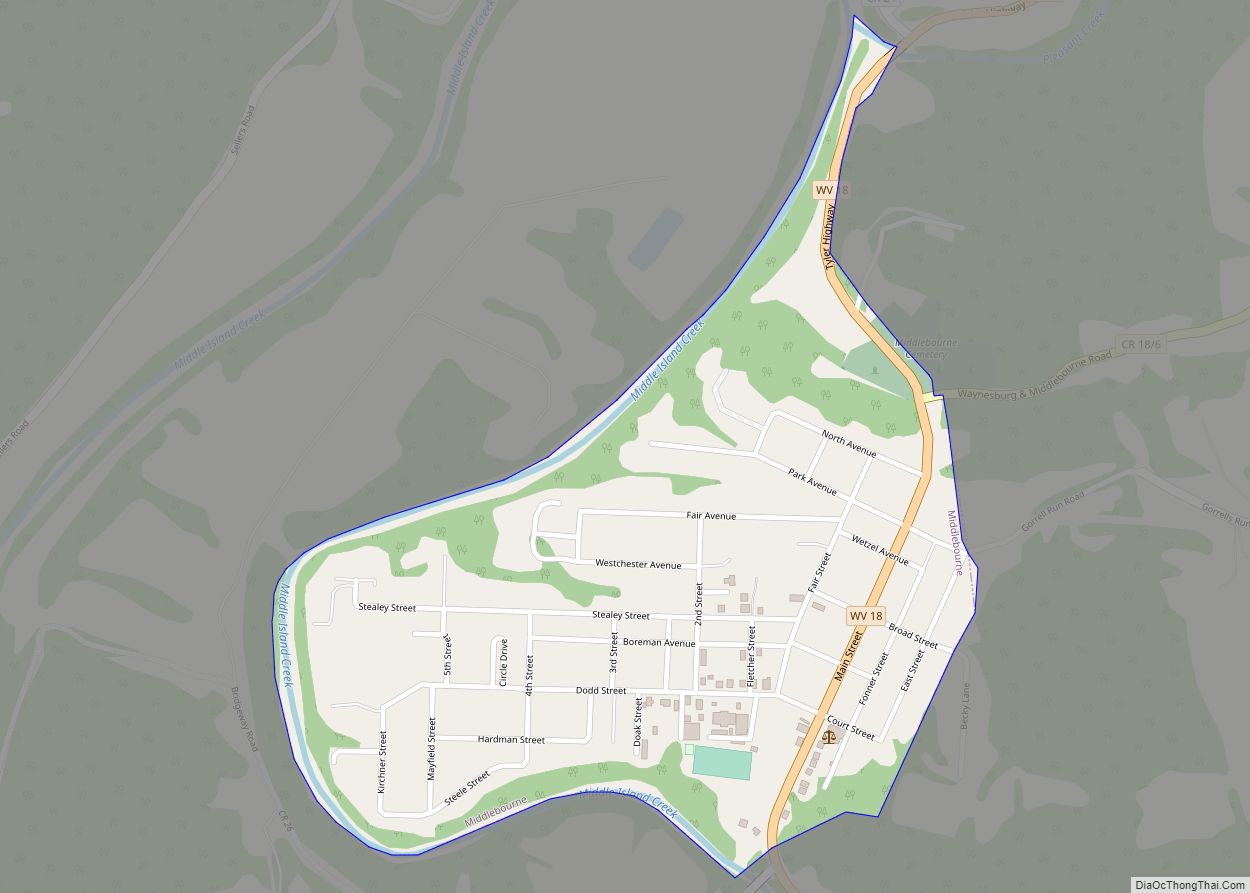
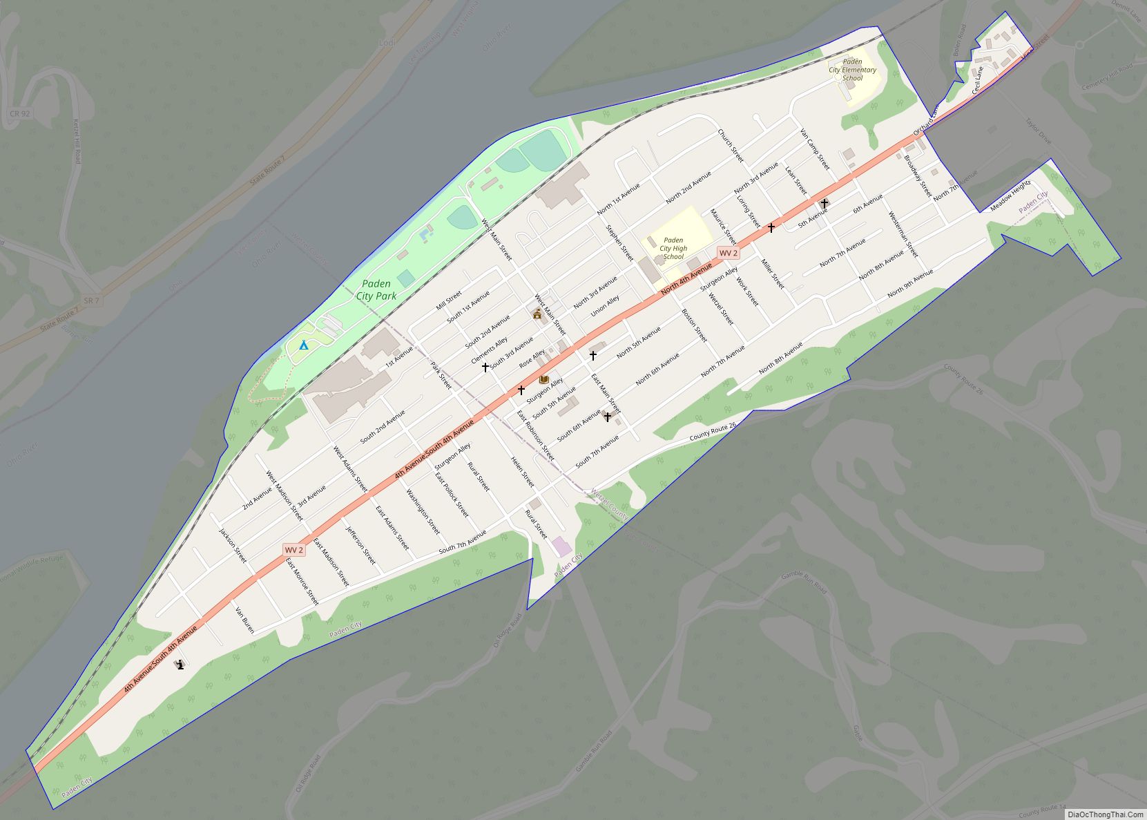
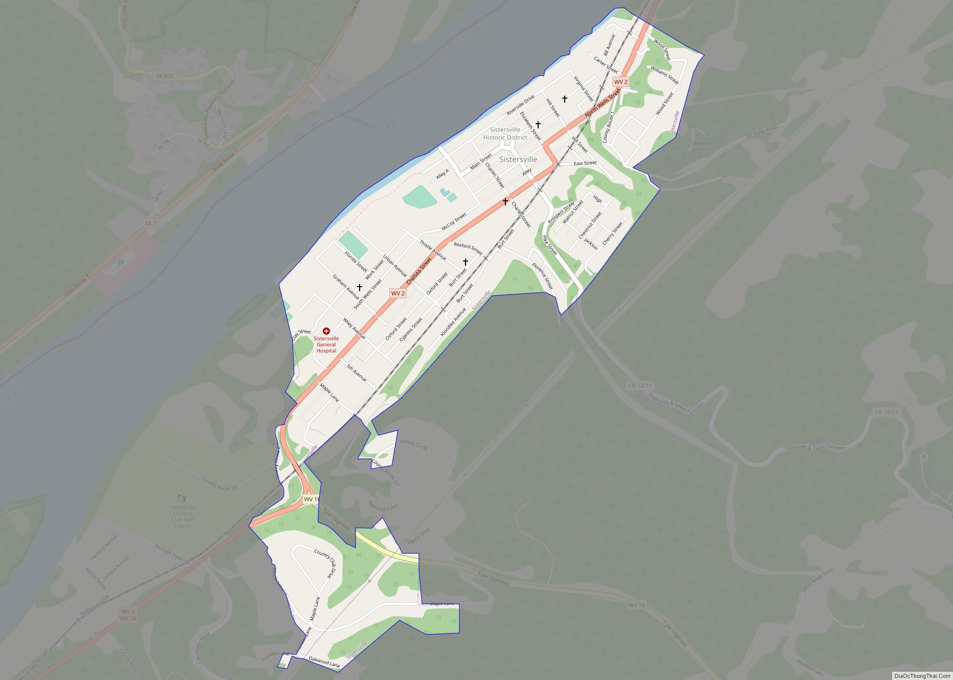
Middlebourne Road Map
Middlebourne city Satellite Map
Geography
Middlebourne is located at 39°29′38″N 80°54′21″W / 39.49389°N 80.90583°W / 39.49389; -80.90583 (39.493966, -80.905751).
According to the United States Census Bureau, the town has a total area of 0.38 square miles (0.98 km), of which 0.36 square miles (0.93 km) is land and 0.02 square miles (0.05 km) is water.
Climate
The climate in this area is characterized by hot, humid summers and cold winters. According to the Köppen Climate Classification system, Middlebourne has a humid continental climate, abbreviated “Cfd” on climate maps.
See also
Map of West Virginia State and its subdivision:- Barbour
- Berkeley
- Boone
- Braxton
- Brooke
- Cabell
- Calhoun
- Clay
- Doddridge
- Fayette
- Gilmer
- Grant
- Greenbrier
- Hampshire
- Hancock
- Hardy
- Harrison
- Jackson
- Jefferson
- Kanawha
- Lewis
- Lincoln
- Logan
- Marion
- Marshall
- Mason
- McDowell
- Mercer
- Mineral
- Mingo
- Monongalia
- Monroe
- Morgan
- Nicholas
- Ohio
- Pendleton
- Pleasants
- Pocahontas
- Preston
- Putnam
- Raleigh
- Randolph
- Ritchie
- Roane
- Summers
- Taylor
- Tucker
- Tyler
- Upshur
- Wayne
- Webster
- Wetzel
- Wirt
- Wood
- Wyoming
- Alabama
- Alaska
- Arizona
- Arkansas
- California
- Colorado
- Connecticut
- Delaware
- District of Columbia
- Florida
- Georgia
- Hawaii
- Idaho
- Illinois
- Indiana
- Iowa
- Kansas
- Kentucky
- Louisiana
- Maine
- Maryland
- Massachusetts
- Michigan
- Minnesota
- Mississippi
- Missouri
- Montana
- Nebraska
- Nevada
- New Hampshire
- New Jersey
- New Mexico
- New York
- North Carolina
- North Dakota
- Ohio
- Oklahoma
- Oregon
- Pennsylvania
- Rhode Island
- South Carolina
- South Dakota
- Tennessee
- Texas
- Utah
- Vermont
- Virginia
- Washington
- West Virginia
- Wisconsin
- Wyoming
