Mount Gay-Shamrock is a census-designated place (CDP) in Logan County, West Virginia, United States.
Mount Gay-Shamrock has a 2020 population of 1,360. Mount Gay-Shamrock is currently declining at a rate of -2.51% annually. The population was 1,779 at the 2010 census.
The CDP includes the unincorporated communities of Mount Gay, Shamrock, Black Bottom, Whites Addition, Lintz Addition, Thompson Town, Hedgeview, Ridgeview, Logan Heights, Cora, and Whitman Junction.
A post office was established as Mount Gay in 1916.
| Name: | Mount Gay-Shamrock CDP |
|---|---|
| LSAD Code: | 57 |
| LSAD Description: | CDP (suffix) |
| State: | West Virginia |
| County: | Logan County |
| Elevation: | 668 ft (204 m) |
| Total Area: | 7.56 sq mi (19.58 km²) |
| Land Area: | 7.55 sq mi (19.55 km²) |
| Water Area: | 0.01 sq mi (0.03 km²) |
| Total Population: | 1,779 |
| Population Density: | 236/sq mi (91.0/km²) |
| Area code: | 304 |
| FIPS code: | 5456342 |
| GNISfeature ID: | 2389511 |
Online Interactive Map
Click on ![]() to view map in "full screen" mode.
to view map in "full screen" mode.
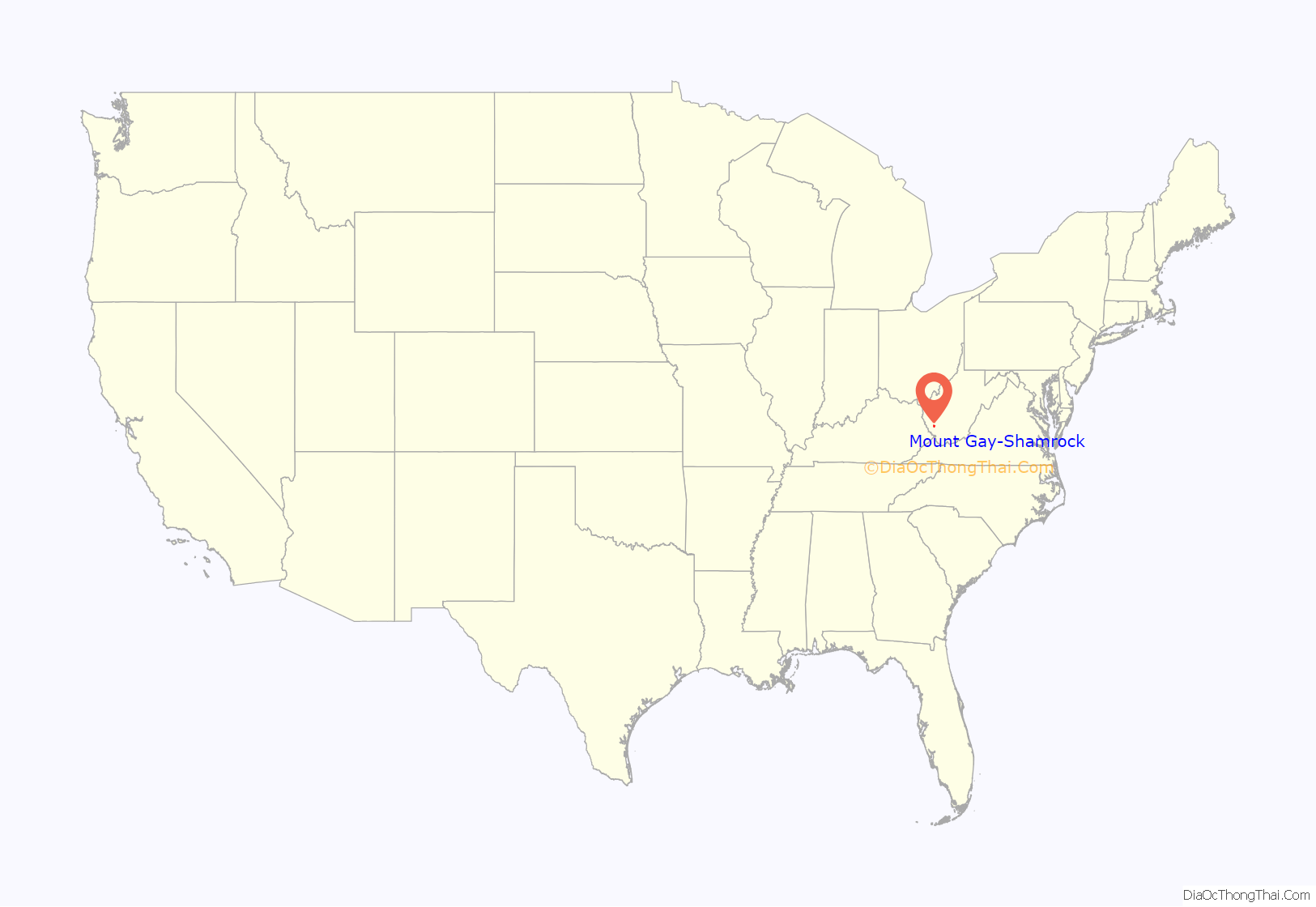
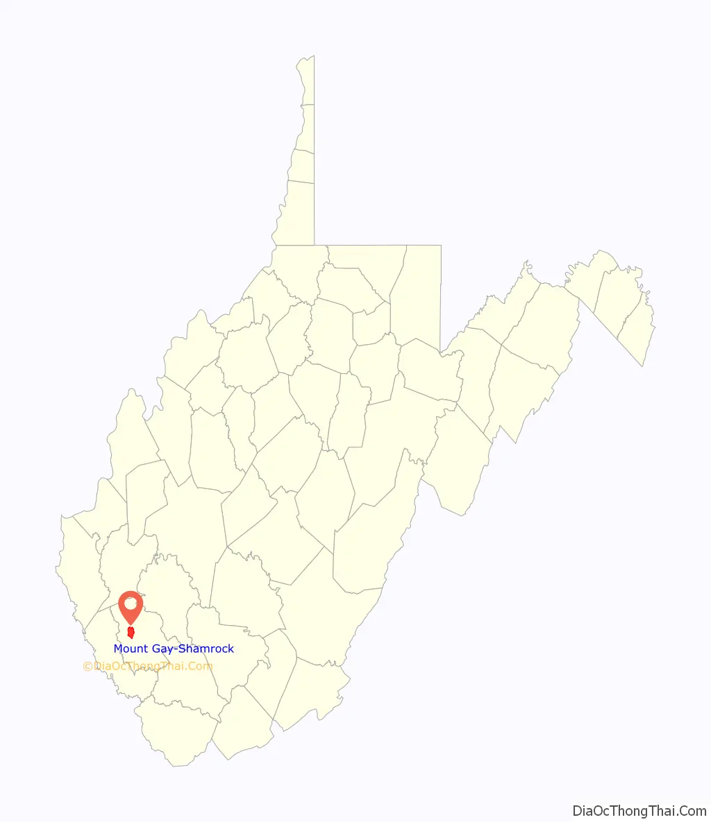
Mount Gay-Shamrock location map. Where is Mount Gay-Shamrock CDP?
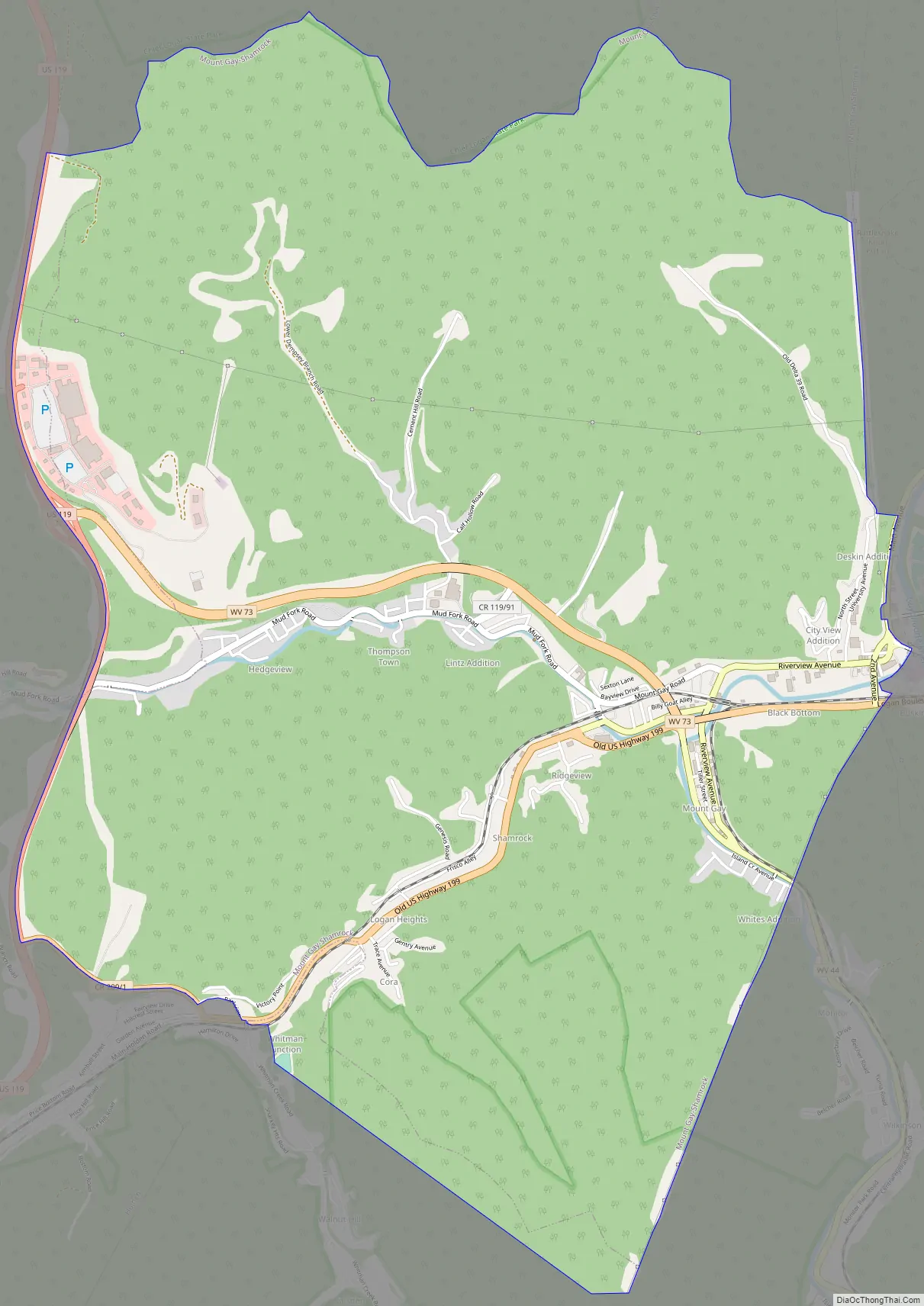
Mount Gay-Shamrock Road Map
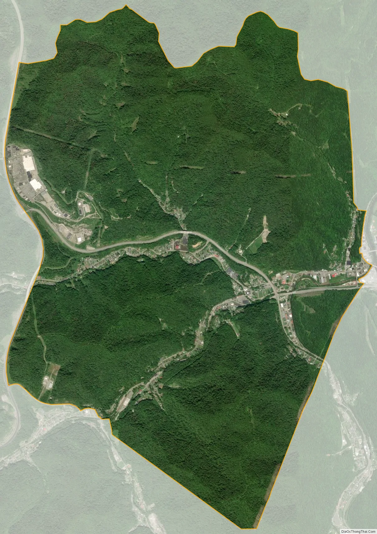
Mount Gay-Shamrock city Satellite Map
Geography
Mount Gay-Shamrock is located in west-central Logan County, with the village of Mount Gay in the eastern part of the CDP at the confluence of Island Creek and the Copperas Mine Fork, and the village of Shamrock just to the west in the valley of the Copperas Mine Fork. Settlements in the CDP run south up the valley of Island Creek, southwest up the valley of the Copperas Mine Fork, and west up the valley of the Mud Fork. The CDP is bordered to the east by the city of Logan, the county seat, and to the west by U.S. Route 119, a four-lane freeway which separates Mount Gay-Shamrock from Verdunville.
West Virginia Route 73 is the main road through the CDP, following the valley of the Mud Fork and connecting US-119 to the west with Logan to the east. West Virginia Route 44 leads south from Mount Gay up the valley of Island Creek. Old US Highway 119 runs up the valley of the Copperas Mine Fork, joining current US-119 at Holden.
According to the United States Census Bureau, the CDP has a total area of 7.6 square miles (19.6 km), of which 0.01 square miles (0.03 km), or 0.15%, are water. The entire CDP is part of the Island Creek watershed, feeding the Guyandotte River in Logan and thence leading north to the Ohio River.
See also
Map of West Virginia State and its subdivision:- Barbour
- Berkeley
- Boone
- Braxton
- Brooke
- Cabell
- Calhoun
- Clay
- Doddridge
- Fayette
- Gilmer
- Grant
- Greenbrier
- Hampshire
- Hancock
- Hardy
- Harrison
- Jackson
- Jefferson
- Kanawha
- Lewis
- Lincoln
- Logan
- Marion
- Marshall
- Mason
- McDowell
- Mercer
- Mineral
- Mingo
- Monongalia
- Monroe
- Morgan
- Nicholas
- Ohio
- Pendleton
- Pleasants
- Pocahontas
- Preston
- Putnam
- Raleigh
- Randolph
- Ritchie
- Roane
- Summers
- Taylor
- Tucker
- Tyler
- Upshur
- Wayne
- Webster
- Wetzel
- Wirt
- Wood
- Wyoming
- Alabama
- Alaska
- Arizona
- Arkansas
- California
- Colorado
- Connecticut
- Delaware
- District of Columbia
- Florida
- Georgia
- Hawaii
- Idaho
- Illinois
- Indiana
- Iowa
- Kansas
- Kentucky
- Louisiana
- Maine
- Maryland
- Massachusetts
- Michigan
- Minnesota
- Mississippi
- Missouri
- Montana
- Nebraska
- Nevada
- New Hampshire
- New Jersey
- New Mexico
- New York
- North Carolina
- North Dakota
- Ohio
- Oklahoma
- Oregon
- Pennsylvania
- Rhode Island
- South Carolina
- South Dakota
- Tennessee
- Texas
- Utah
- Vermont
- Virginia
- Washington
- West Virginia
- Wisconsin
- Wyoming


