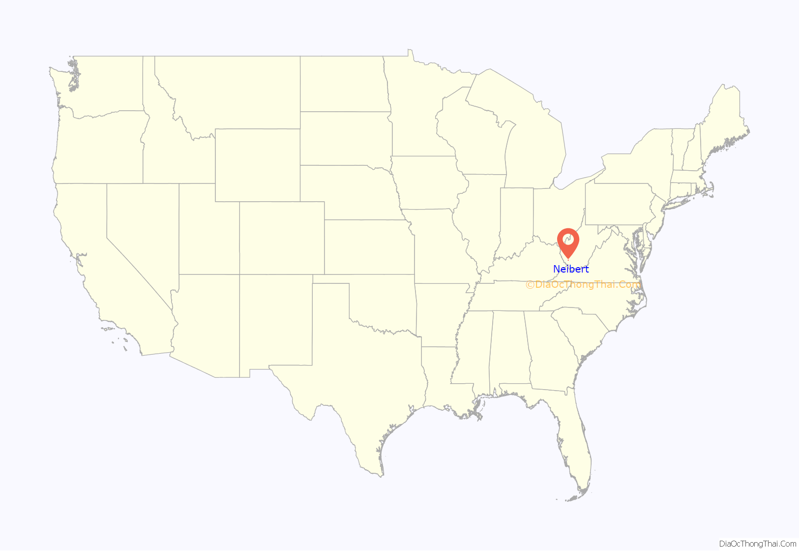
Neibert is an unincorporated community and census-designated place (CDP) in Logan County, West Virginia, United States. Its population was 183 as of the 2010 census.
| Name: | Neibert CDP |
|---|---|
| LSAD Code: | 57 |
| LSAD Description: | CDP (suffix) |
| State: | West Virginia |
| County: | Logan County |
| Elevation: | 718 ft (219 m) |
| Total Area: | 0.630 sq mi (1.63 km²) |
| Land Area: | 0.612 sq mi (1.59 km²) |
| Water Area: | 0.018 sq mi (0.05 km²) |
| Total Population: | 183 |
| Population Density: | 299.0/sq mi (115.4/km²) |
| ZIP code: | 25632 (Lyburn) |
| Area code: | 304 & 681 |
| FIPS code: | 5457916 |
| GNISfeature ID: | 1544085 |
Online Interactive Map
Click on ![]() to view map in "full screen" mode.
to view map in "full screen" mode.
Neibert location map. Where is Neibert CDP?
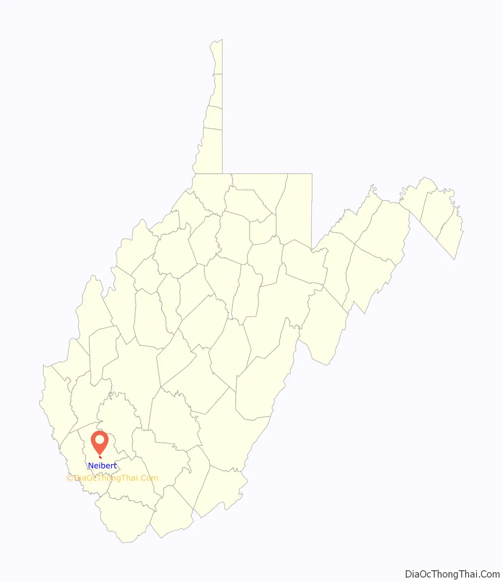
Neibert Road Map

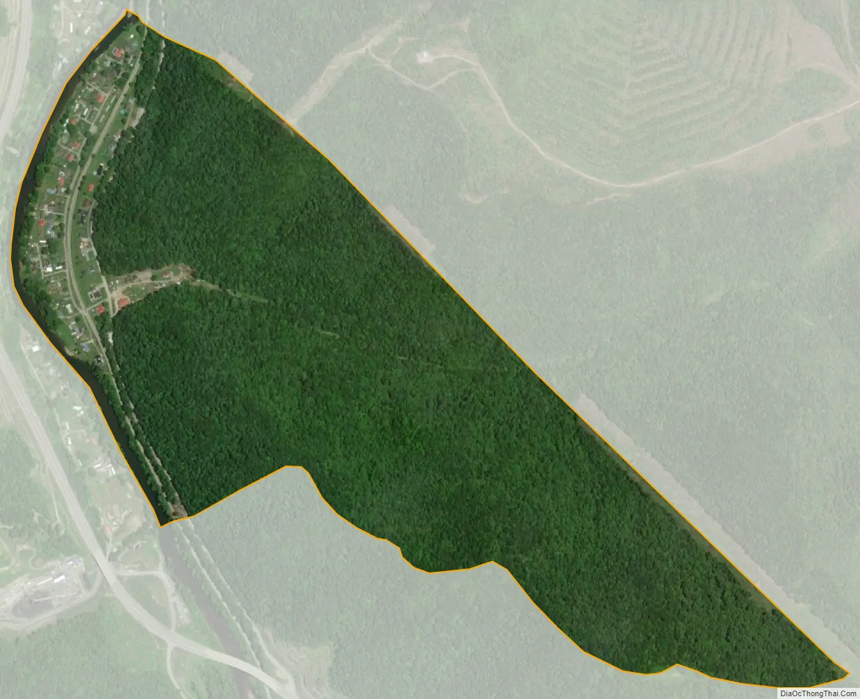
Neibert city Satellite Map
Geography
Neibert is in south-central Logan County, on the east side of the Guyandotte River. Hanging Rock Highway, former West Virginia Route 10, is the main road through the community, leading northwest (downriver) 8 miles (13 km) to Logan, the county seat, and southeast (upriver) 6 miles (10 km) to Man. Current WV-10 is a four-lane freeway that bypasses Neibert on the west side of the river; the closest access point is 0.8 miles (1.3 km) south of town, where Hanging Rock Highway crosses WV-10.
According to the U.S. Census Bureau, the Neibert CDP has a total area of 0.62 square miles (1.6 km), of which 0.02 square miles (0.05 km), or 2.83%, are water.
See also
Map of West Virginia State and its subdivision:- Barbour
- Berkeley
- Boone
- Braxton
- Brooke
- Cabell
- Calhoun
- Clay
- Doddridge
- Fayette
- Gilmer
- Grant
- Greenbrier
- Hampshire
- Hancock
- Hardy
- Harrison
- Jackson
- Jefferson
- Kanawha
- Lewis
- Lincoln
- Logan
- Marion
- Marshall
- Mason
- McDowell
- Mercer
- Mineral
- Mingo
- Monongalia
- Monroe
- Morgan
- Nicholas
- Ohio
- Pendleton
- Pleasants
- Pocahontas
- Preston
- Putnam
- Raleigh
- Randolph
- Ritchie
- Roane
- Summers
- Taylor
- Tucker
- Tyler
- Upshur
- Wayne
- Webster
- Wetzel
- Wirt
- Wood
- Wyoming
- Alabama
- Alaska
- Arizona
- Arkansas
- California
- Colorado
- Connecticut
- Delaware
- District of Columbia
- Florida
- Georgia
- Hawaii
- Idaho
- Illinois
- Indiana
- Iowa
- Kansas
- Kentucky
- Louisiana
- Maine
- Maryland
- Massachusetts
- Michigan
- Minnesota
- Mississippi
- Missouri
- Montana
- Nebraska
- Nevada
- New Hampshire
- New Jersey
- New Mexico
- New York
- North Carolina
- North Dakota
- Ohio
- Oklahoma
- Oregon
- Pennsylvania
- Rhode Island
- South Carolina
- South Dakota
- Tennessee
- Texas
- Utah
- Vermont
- Virginia
- Washington
- West Virginia
- Wisconsin
- Wyoming


