Newell is an unincorporated community and census-designated place in northern Hancock County, West Virginia, United States, situated along the Ohio River. The population was 1,203 at the 2020 census. It is a part of the Weirton–Steubenville metropolitan area. Newell is home to the Fiesta Tableware Company and the Mountaineer Casino, Racetrack and Resort.
| Name: | Newell CDP |
|---|---|
| LSAD Code: | 57 |
| LSAD Description: | CDP (suffix) |
| State: | West Virginia |
| County: | Hancock County |
| Elevation: | 755 ft (230 m) |
| Total Area: | 0.9 sq mi (2.4 km²) |
| Land Area: | 0.7 sq mi (1.9 km²) |
| Water Area: | 0.2 sq mi (0.5 km²) |
| Total Population: | 1,203 |
| Population Density: | 1,300/sq mi (500/km²) |
| ZIP code: | 26050 |
| Area code: | 304 |
| FIPS code: | 5458420 |
| GNISfeature ID: | 1558378 |
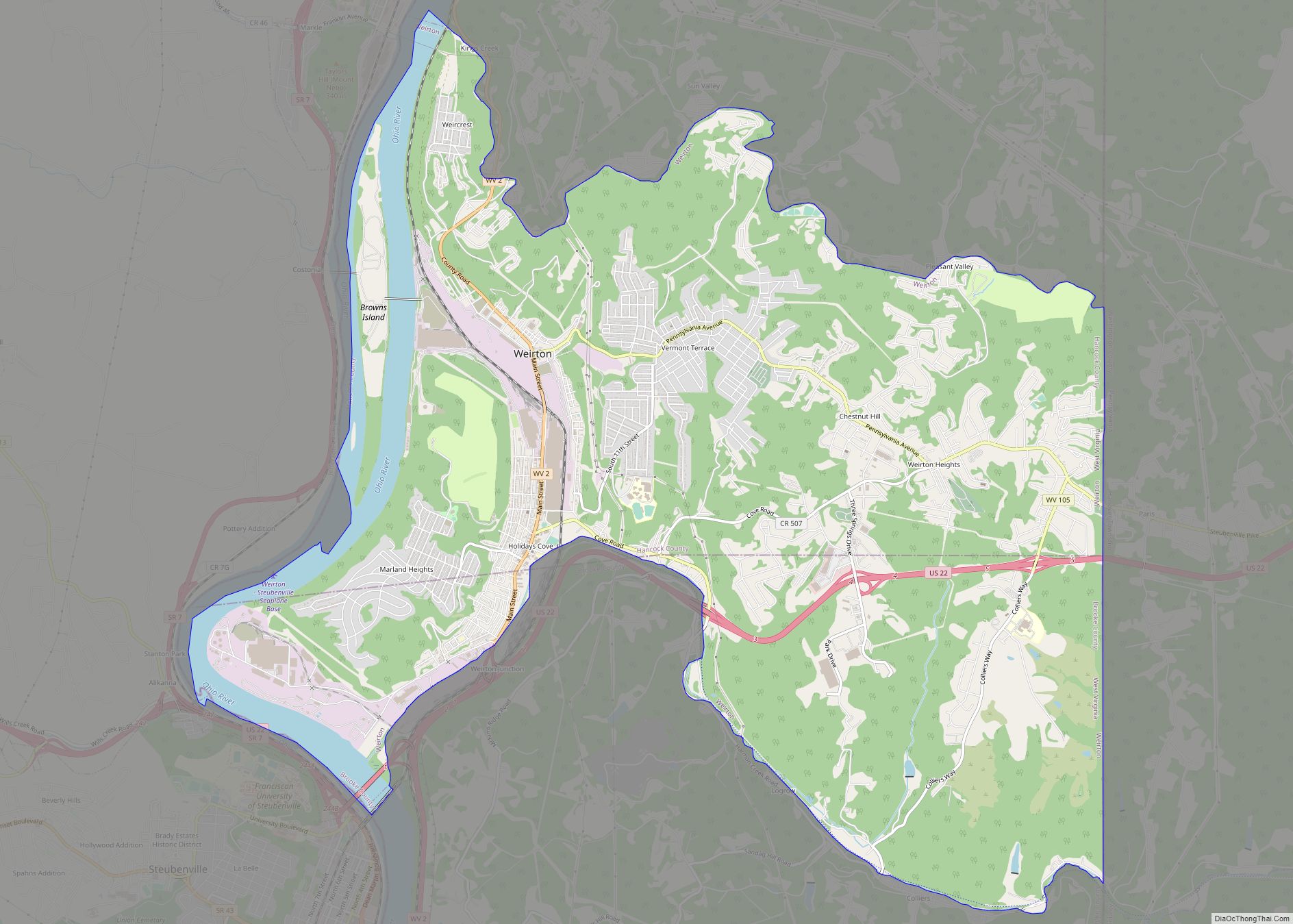
Online Interactive Map
Click on ![]() to view map in "full screen" mode.
to view map in "full screen" mode.
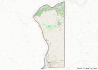
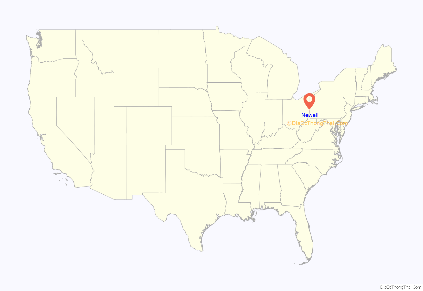
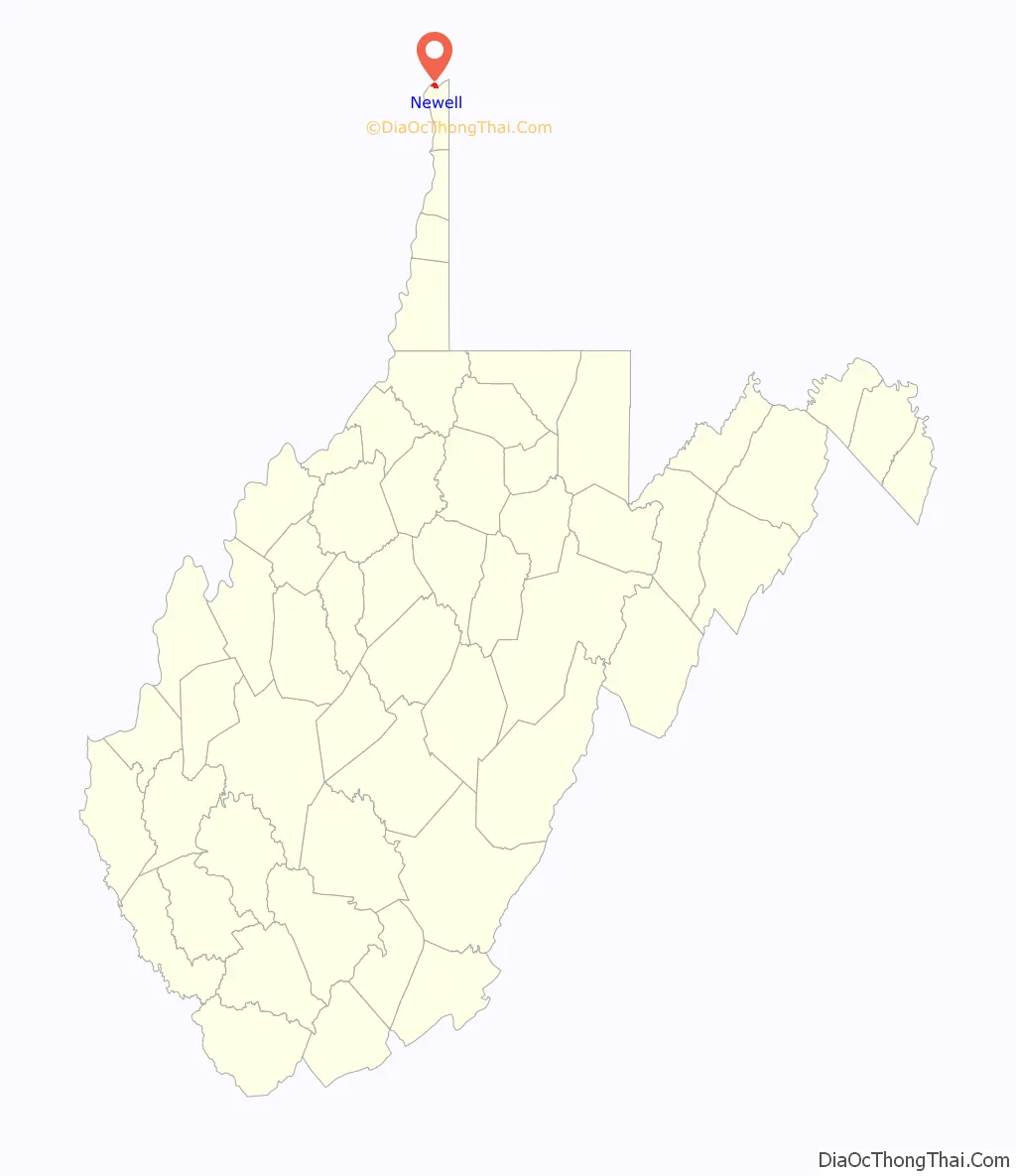
Newell location map. Where is Newell CDP?
History
William Hamilton laid out Hamilton, a small town across the Ohio River from Wellsville, Ohio, south of the current site of Newell. Hugh Newell, the son of a pioneer from nearby New Manchester (then called Pughtown) became the owner of the site in the 1800s.
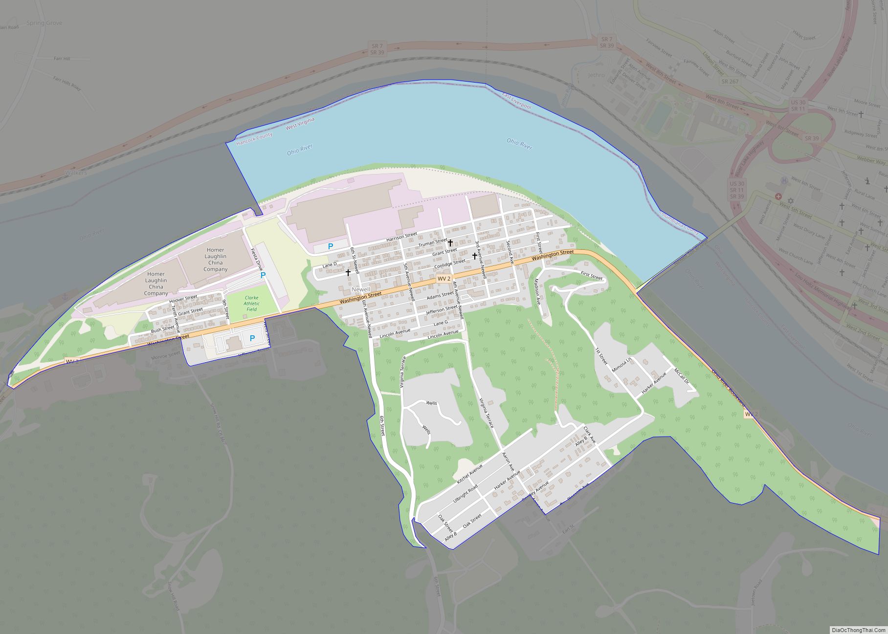
In 1891, an entrepreneurial group from Pittsburgh bought out the farms of John Newell and J. Bentley Newell, descendants of Hugh, as well as William McDonald, the Wells family, and the Moore family, with the intentions of surverying the primarily flat banks for the development of a large industrial complex. The town of Newell was laid out by the North American Manufacturing Company in 1902 after they bought the tract from the United States Steel Corporation, who sat on the land in fear of establishing a steel mill after the Panic of 1893. In 1905, the Homer Laughlin China Company, located across the Ohio River in East Liverpool, Ohio, established what would be the largest pottery factory in the world at the time at a site in Newell, and the Newell Toll Bridge was constructed across the river to connect the towns. Throughout the rest of the decade, the town would grow quickly. A school was established in 1907. Other manufacturers, including potteries, tile producers, and refractories were established in the 1910s and 1920s.
Waterford Park and the William E. Wells House are listed on the National Register of Historic Places.
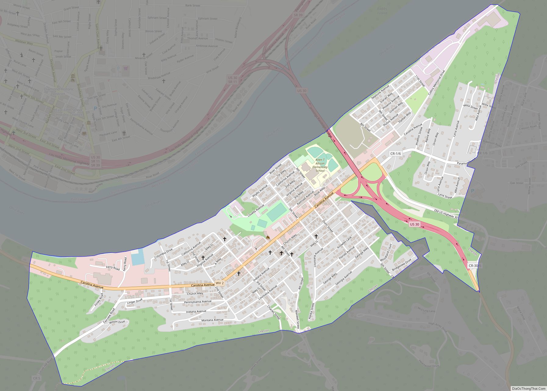
Newell Road Map
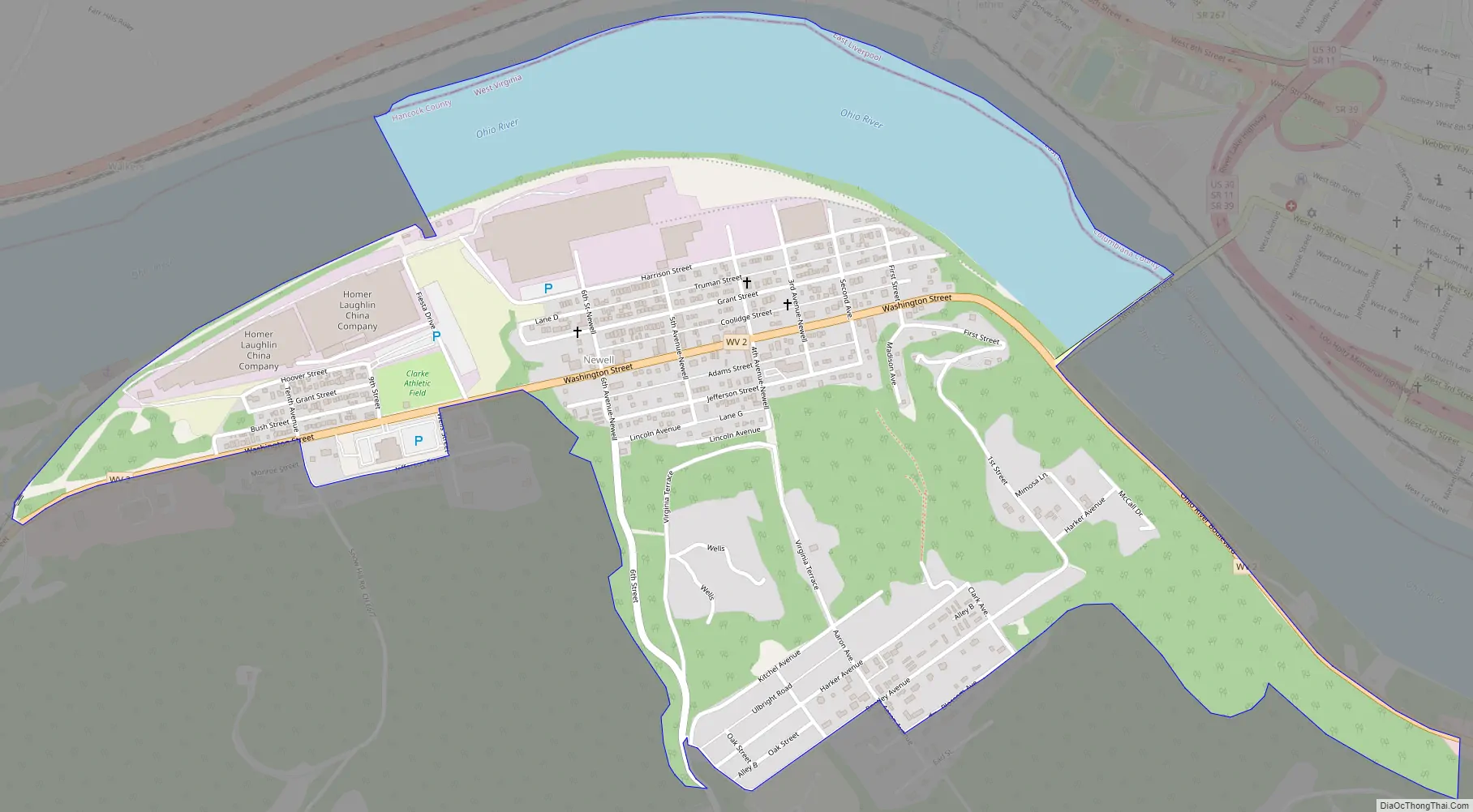
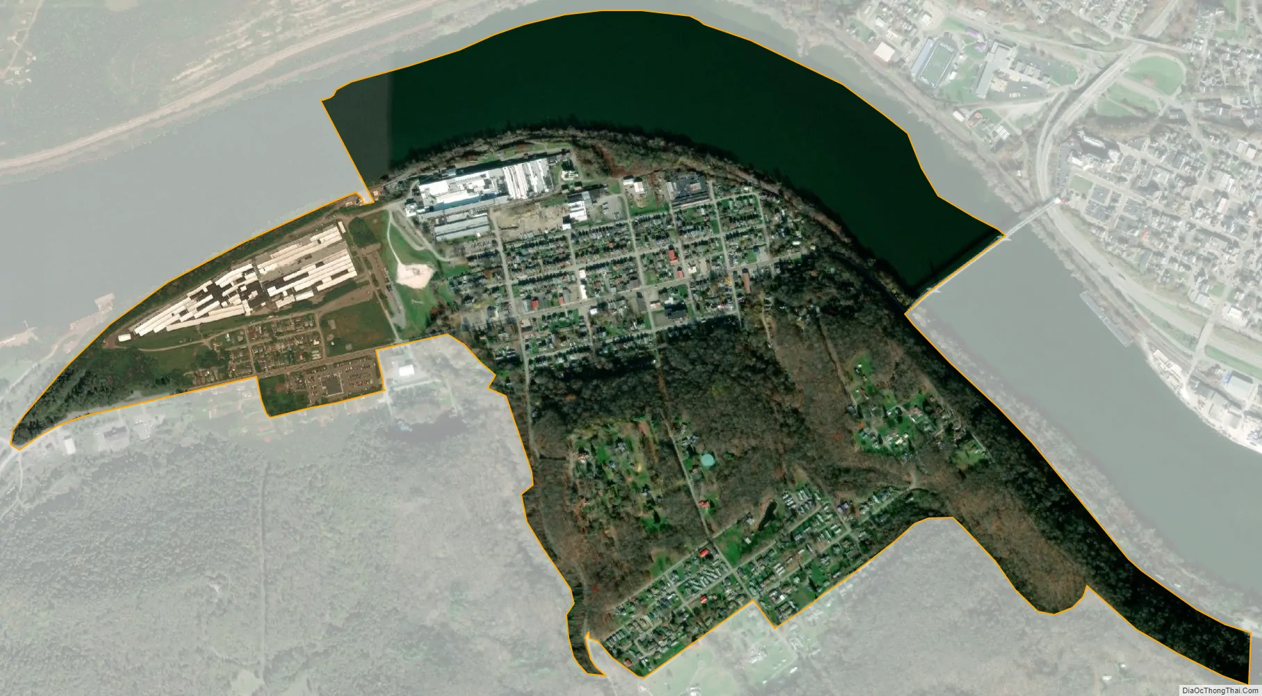
Newell city Satellite Map
Geography
Newell is located at 40°37′3″N 80°36′3″W / 40.61750°N 80.60083°W / 40.61750; -80.60083 (40.617544, -80.600856). The city of New Cumberland is located towards the south, the city of Chester is located eastward, and the city of East Liverpool, Ohio is north via the Newell Toll Bridge.
According to the United States Census Bureau, the CDP has a total area of 0.9 square miles (2.4 km), of which 0.8 square mile (1.9 km) is land and 0.2 square mile (0.5 km) (21.28%) is water.
See also
Map of West Virginia State and its subdivision:- Barbour
- Berkeley
- Boone
- Braxton
- Brooke
- Cabell
- Calhoun
- Clay
- Doddridge
- Fayette
- Gilmer
- Grant
- Greenbrier
- Hampshire
- Hancock
- Hardy
- Harrison
- Jackson
- Jefferson
- Kanawha
- Lewis
- Lincoln
- Logan
- Marion
- Marshall
- Mason
- McDowell
- Mercer
- Mineral
- Mingo
- Monongalia
- Monroe
- Morgan
- Nicholas
- Ohio
- Pendleton
- Pleasants
- Pocahontas
- Preston
- Putnam
- Raleigh
- Randolph
- Ritchie
- Roane
- Summers
- Taylor
- Tucker
- Tyler
- Upshur
- Wayne
- Webster
- Wetzel
- Wirt
- Wood
- Wyoming
- Alabama
- Alaska
- Arizona
- Arkansas
- California
- Colorado
- Connecticut
- Delaware
- District of Columbia
- Florida
- Georgia
- Hawaii
- Idaho
- Illinois
- Indiana
- Iowa
- Kansas
- Kentucky
- Louisiana
- Maine
- Maryland
- Massachusetts
- Michigan
- Minnesota
- Mississippi
- Missouri
- Montana
- Nebraska
- Nevada
- New Hampshire
- New Jersey
- New Mexico
- New York
- North Carolina
- North Dakota
- Ohio
- Oklahoma
- Oregon
- Pennsylvania
- Rhode Island
- South Carolina
- South Dakota
- Tennessee
- Texas
- Utah
- Vermont
- Virginia
- Washington
- West Virginia
- Wisconsin
- Wyoming