Nitro is a city in Kanawha and Putnam counties in the U.S. state of West Virginia. It takes its name from a World War I era nitrocellulose plant. The population was 6,618 according to the 2020 census. It is part of the Charleston metropolitan area.
| Name: | Nitro city |
|---|---|
| LSAD Code: | 25 |
| LSAD Description: | city (suffix) |
| State: | West Virginia |
| County: | Kanawha County, Putnam County |
| Elevation: | 594 ft (181 m) |
| Total Area: | 5.82 sq mi (15.07 km²) |
| Land Area: | 5.24 sq mi (13.58 km²) |
| Water Area: | 0.58 sq mi (1.49 km²) |
| Total Population: | 6,618 |
| Population Density: | 1,215.53/sq mi (469.29/km²) |
| ZIP code: | 25143 |
| Area code: | 304/681 |
| FIPS code: | 5459068 |
| GNISfeature ID: | 1555228 |
| Website: | cityofnitro.org |
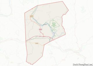
Online Interactive Map
Click on ![]() to view map in "full screen" mode.
to view map in "full screen" mode.
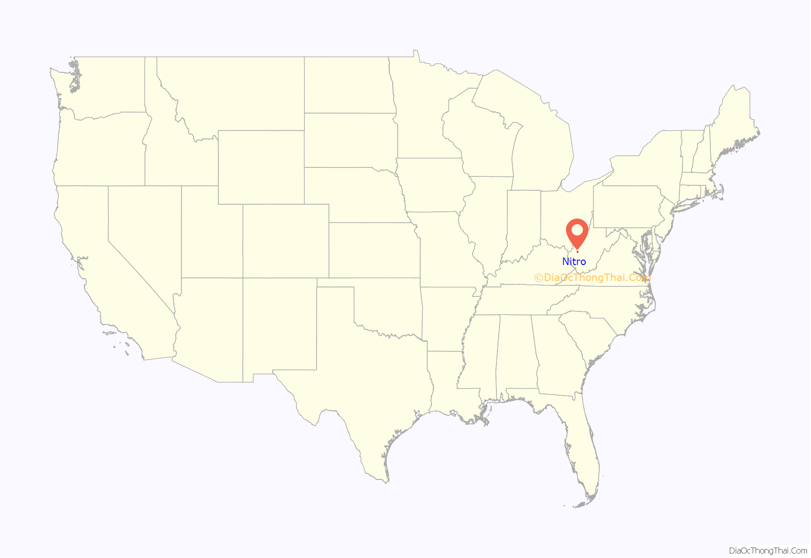
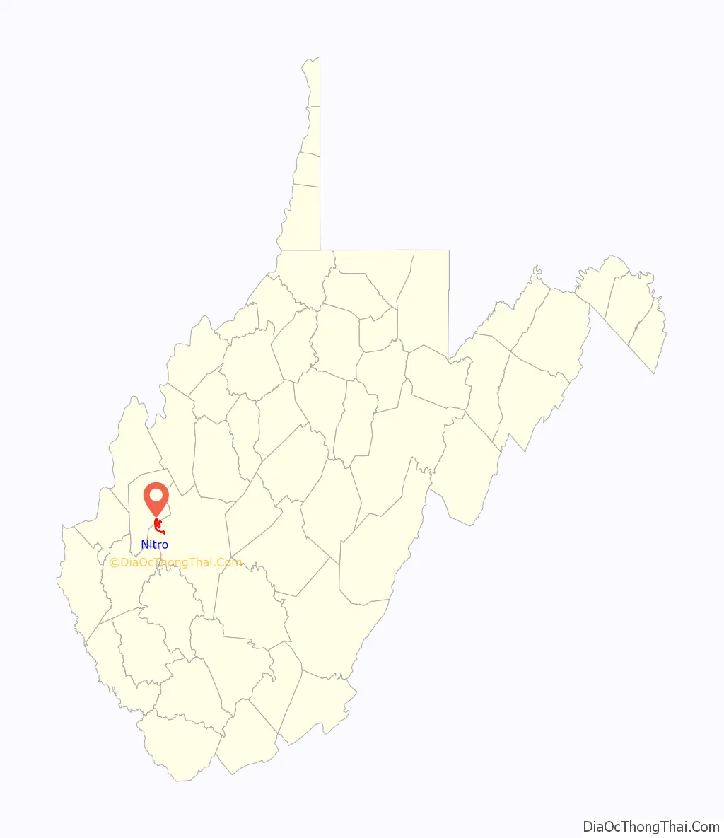
Nitro location map. Where is Nitro city?
History
Nitro was incorporated in 1932 by Circuit Court. The name Nitro derives from nitrocellulose, the main ingredient in smokeless gunpowder. The Nitro area was to be the American ammunition production facility during World War I. Daniel C. Jackling “supervised the construction and operation” of the plant, which by the time of the armistice “was producing one hundred thousand pounds of high explosives per day.”
Its name was selected by the United States government because of the establishment there, during World War I, of a large federal plant for the manufacture of explosives. The city is known as “a Living Memorial to World War I.”
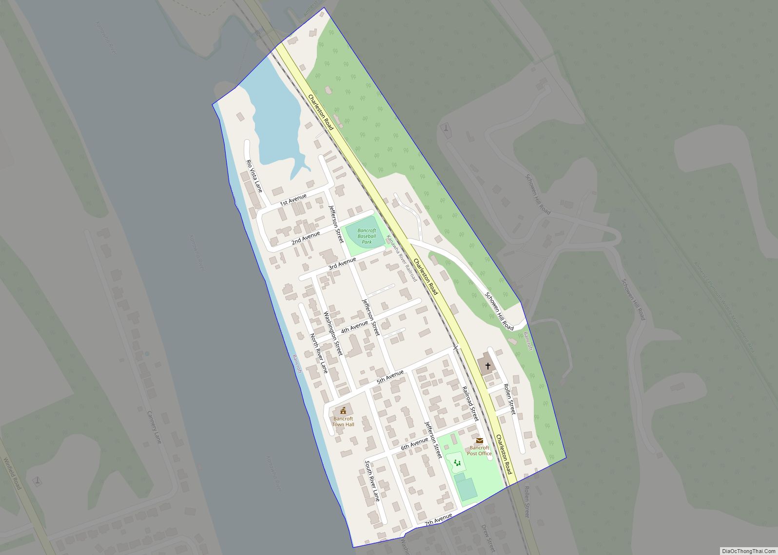
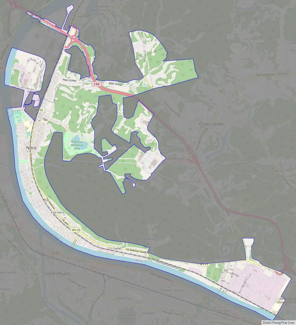
Nitro Road Map
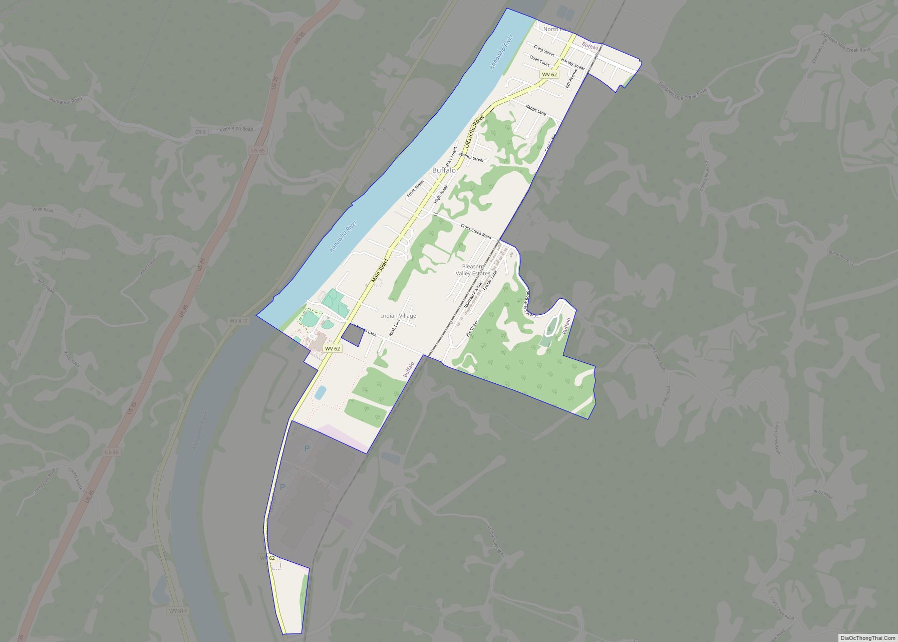
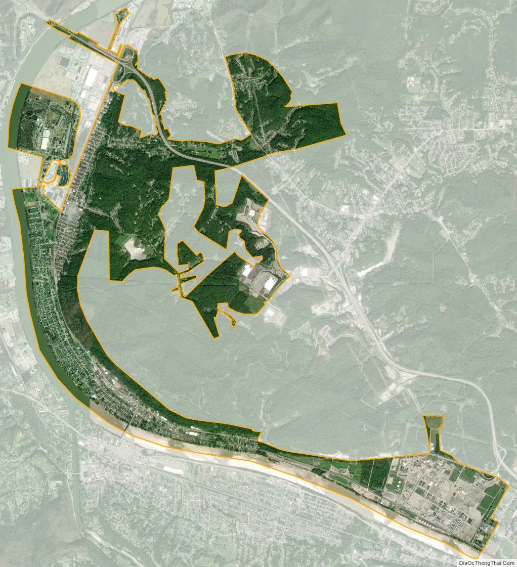
Nitro city Satellite Map
Geography
Nitro is located at 38°24′55″N 81°49′52″W / 38.41528°N 81.83111°W / 38.41528; -81.83111 (38.415281, -81.831249), primarily in Kanawha County.
According to the United States Census Bureau, the city has a total area of 4.67 square miles (12.10 km), of which 4.28 square miles (11.09 km) is land and 0.39 square miles (1.01 km) is water.
The city lies across the Kanawha River from the city of St. Albans to the south, and is adjacent to the census-designated place of Cross Lanes.
See also
Map of West Virginia State and its subdivision:- Barbour
- Berkeley
- Boone
- Braxton
- Brooke
- Cabell
- Calhoun
- Clay
- Doddridge
- Fayette
- Gilmer
- Grant
- Greenbrier
- Hampshire
- Hancock
- Hardy
- Harrison
- Jackson
- Jefferson
- Kanawha
- Lewis
- Lincoln
- Logan
- Marion
- Marshall
- Mason
- McDowell
- Mercer
- Mineral
- Mingo
- Monongalia
- Monroe
- Morgan
- Nicholas
- Ohio
- Pendleton
- Pleasants
- Pocahontas
- Preston
- Putnam
- Raleigh
- Randolph
- Ritchie
- Roane
- Summers
- Taylor
- Tucker
- Tyler
- Upshur
- Wayne
- Webster
- Wetzel
- Wirt
- Wood
- Wyoming
- Alabama
- Alaska
- Arizona
- Arkansas
- California
- Colorado
- Connecticut
- Delaware
- District of Columbia
- Florida
- Georgia
- Hawaii
- Idaho
- Illinois
- Indiana
- Iowa
- Kansas
- Kentucky
- Louisiana
- Maine
- Maryland
- Massachusetts
- Michigan
- Minnesota
- Mississippi
- Missouri
- Montana
- Nebraska
- Nevada
- New Hampshire
- New Jersey
- New Mexico
- New York
- North Carolina
- North Dakota
- Ohio
- Oklahoma
- Oregon
- Pennsylvania
- Rhode Island
- South Carolina
- South Dakota
- Tennessee
- Texas
- Utah
- Vermont
- Virginia
- Washington
- West Virginia
- Wisconsin
- Wyoming