Nutter Fort is a town in Harrison County, West Virginia, United States, incorporated in 1923. The town is a southeastern suburb of Clarksburg. Since 1996, Nutter Fort has held the West Virginia Blackberry Festival during the first weekend of August. The population was 1,497 at the 2020 census. The town is also home to the Harrison County Sheriffs Department and the Harrison County Bureau of Emergency Services.
| Name: | Nutter Fort town |
|---|---|
| LSAD Code: | 43 |
| LSAD Description: | town (suffix) |
| State: | West Virginia |
| County: | Harrison County |
| Elevation: | 1,056 ft (322 m) |
| Total Area: | 0.89 sq mi (2.30 km²) |
| Land Area: | 0.89 sq mi (2.30 km²) |
| Water Area: | 0.00 sq mi (0.00 km²) |
| Total Population: | 1,497 |
| Population Density: | 1,700.79/sq mi (656.40/km²) |
| ZIP code: | 26301 |
| Area code: | 304 |
| FIPS code: | 5459836 |
| GNISfeature ID: | 1555248 |
| Website: | townofnutterfort.com |
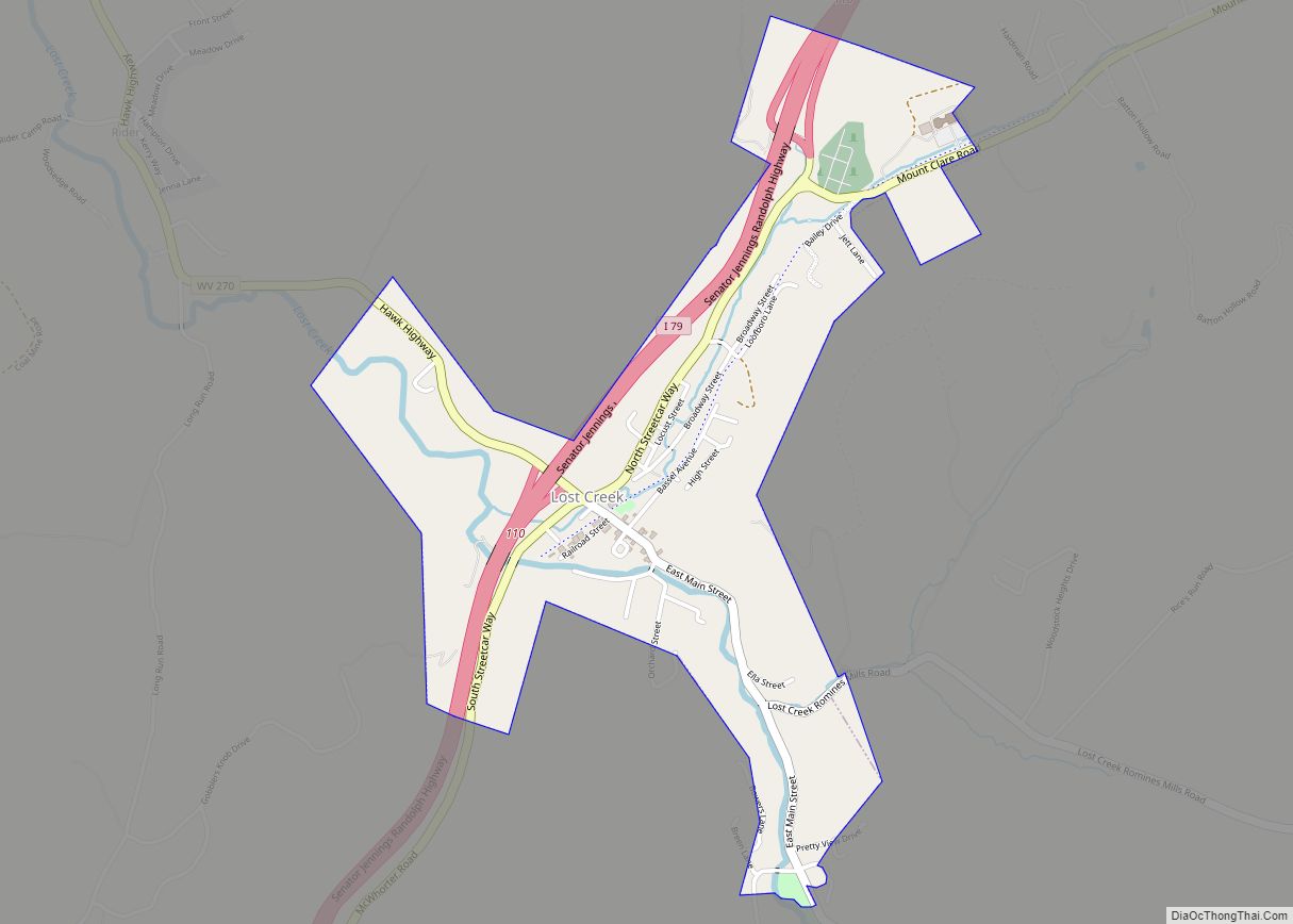
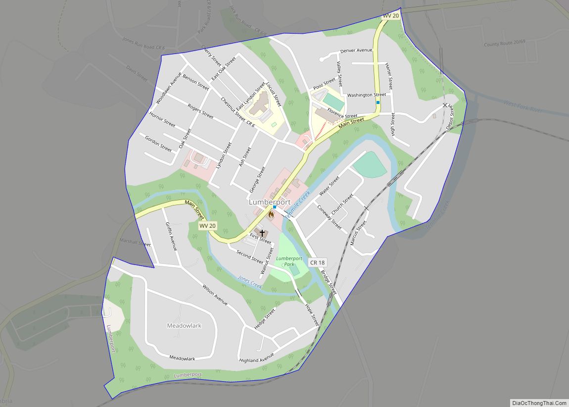
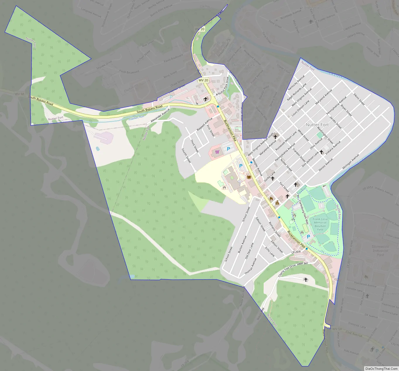
Online Interactive Map
Click on ![]() to view map in "full screen" mode.
to view map in "full screen" mode.
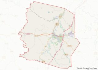
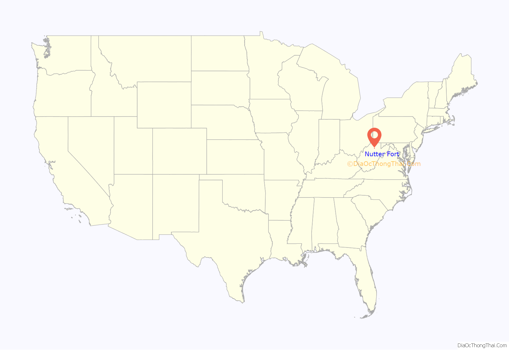
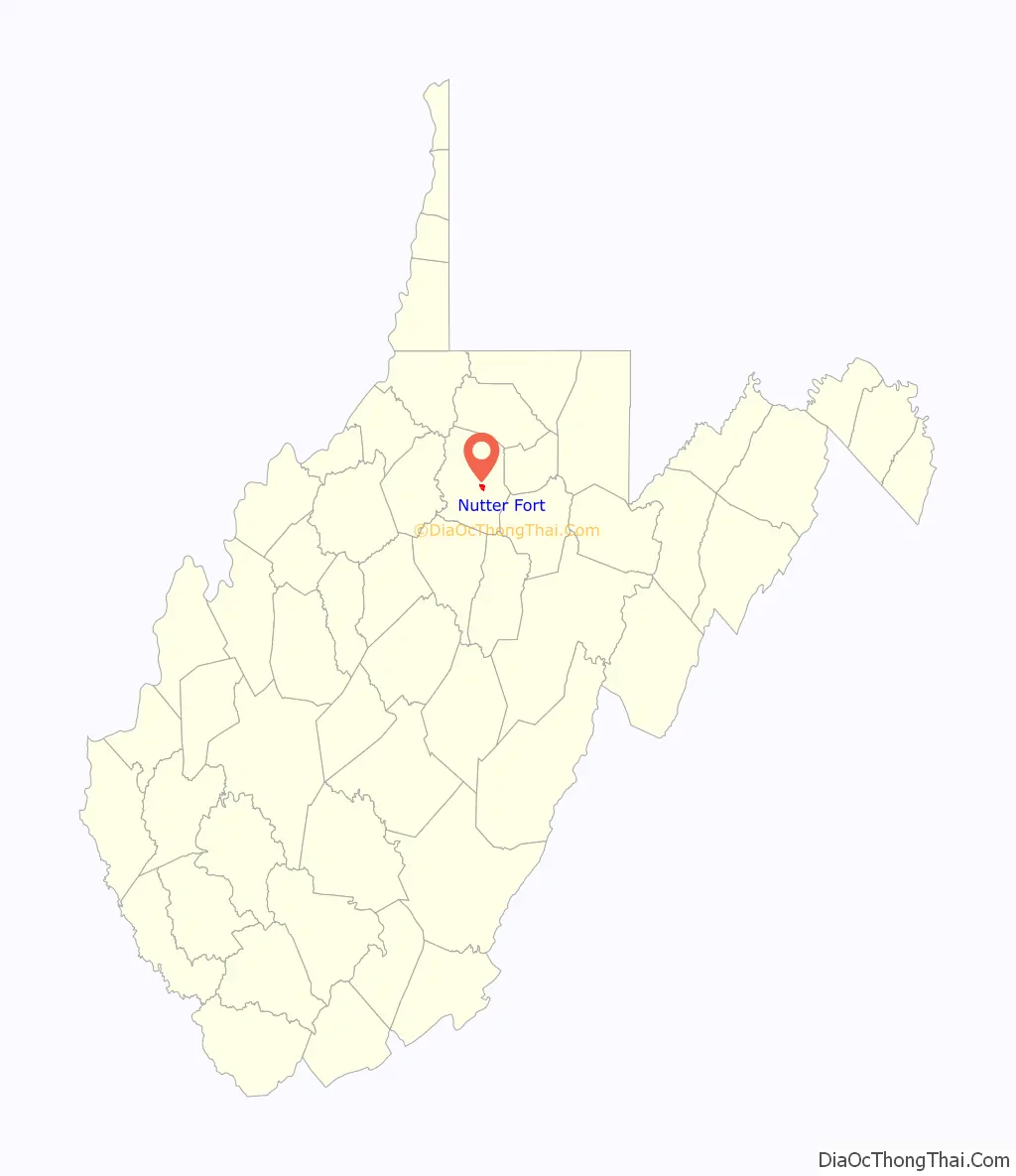
Nutter Fort location map. Where is Nutter Fort town?
History
Arriving in the early 1770s, the families of brothers Thomas, Matthew, John, and Christopher Nutter were early European settlers to western Virginia. Thomas Nutter had received a land grant for 1,400 acres (5.7 km) of land along Elk Creek in what was then Monongalia County. Together with the settlers Obadiah and Daniel Davisson, the Nutters constructed a fort in 1772, later known as Nutter’s Fort, said to have been one of the strongest forts south of Fort Pitt. Located on the eastern side of Elk Creek, the fort was used by the Virginia state militia from 1776 to 1780 in conflicts with Native Americans. Thomas Nutter served as a captain in the Revolutionary Army and died in early August 1808. When the community was incorporated in 1923, it took its name to honor both Nutter and the original settlement. A marker at the Nutter Fort campus of West Virginia Business College (formerly the location of Roosevelt-Wilson High School) indicates where the fort was located.
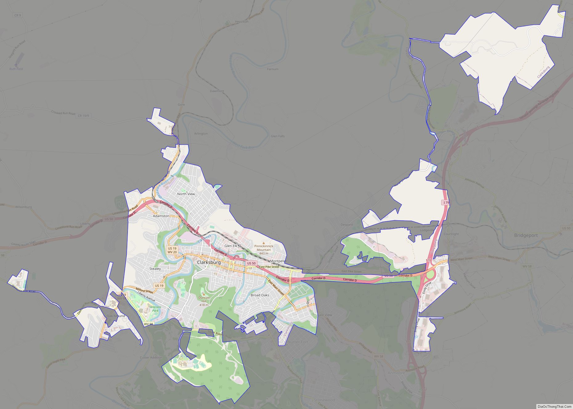
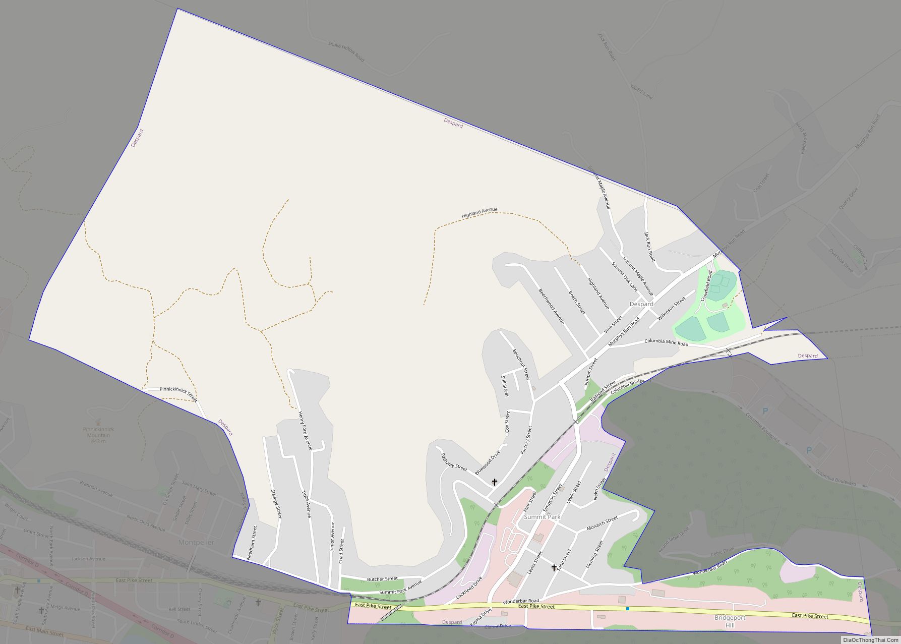
Nutter Fort Road Map
Nutter Fort city Satellite Map

Geography
Nutter Fort is located at 39°15′44″N 80°19′21″W / 39.26222°N 80.32250°W / 39.26222; -80.32250 (39.262163, -80.322389), along Elk Creek.
According to the United States Census Bureau, the town has a total area of 0.85 square miles (2.20 km), all land.
See also
Map of West Virginia State and its subdivision:- Barbour
- Berkeley
- Boone
- Braxton
- Brooke
- Cabell
- Calhoun
- Clay
- Doddridge
- Fayette
- Gilmer
- Grant
- Greenbrier
- Hampshire
- Hancock
- Hardy
- Harrison
- Jackson
- Jefferson
- Kanawha
- Lewis
- Lincoln
- Logan
- Marion
- Marshall
- Mason
- McDowell
- Mercer
- Mineral
- Mingo
- Monongalia
- Monroe
- Morgan
- Nicholas
- Ohio
- Pendleton
- Pleasants
- Pocahontas
- Preston
- Putnam
- Raleigh
- Randolph
- Ritchie
- Roane
- Summers
- Taylor
- Tucker
- Tyler
- Upshur
- Wayne
- Webster
- Wetzel
- Wirt
- Wood
- Wyoming
- Alabama
- Alaska
- Arizona
- Arkansas
- California
- Colorado
- Connecticut
- Delaware
- District of Columbia
- Florida
- Georgia
- Hawaii
- Idaho
- Illinois
- Indiana
- Iowa
- Kansas
- Kentucky
- Louisiana
- Maine
- Maryland
- Massachusetts
- Michigan
- Minnesota
- Mississippi
- Missouri
- Montana
- Nebraska
- Nevada
- New Hampshire
- New Jersey
- New Mexico
- New York
- North Carolina
- North Dakota
- Ohio
- Oklahoma
- Oregon
- Pennsylvania
- Rhode Island
- South Carolina
- South Dakota
- Tennessee
- Texas
- Utah
- Vermont
- Virginia
- Washington
- West Virginia
- Wisconsin
- Wyoming