Oakvale is a town in Mercer County, West Virginia, United States, along the East River. The population was 137 at the 2020 census. It is part of the Bluefield, WV-VA micropolitan area which has a population of 107,578.
| Name: | Oakvale town |
|---|---|
| LSAD Code: | 43 |
| LSAD Description: | town (suffix) |
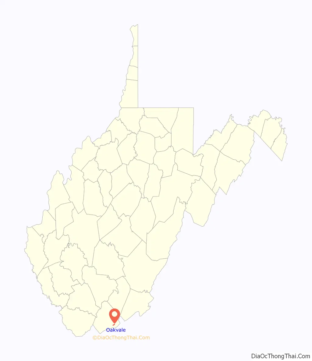
| State: | West Virginia |
| County: | Mercer County |
| Elevation: | 1,722 ft (525 m) |
| Total Area: | 0.42 sq mi (1.09 km²) |
| Land Area: | 0.42 sq mi (1.08 km²) |
| Water Area: | 0.00 sq mi (0.01 km²) |
| Total Population: | 137 |
| Population Density: | 267.94/sq mi (103.50/km²) |
| ZIP code: | 24739 |
| Area code: | 304 |
| FIPS code: | 5460196 |
| GNISfeature ID: | 1552361 |
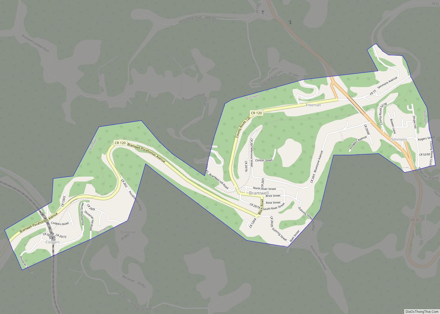
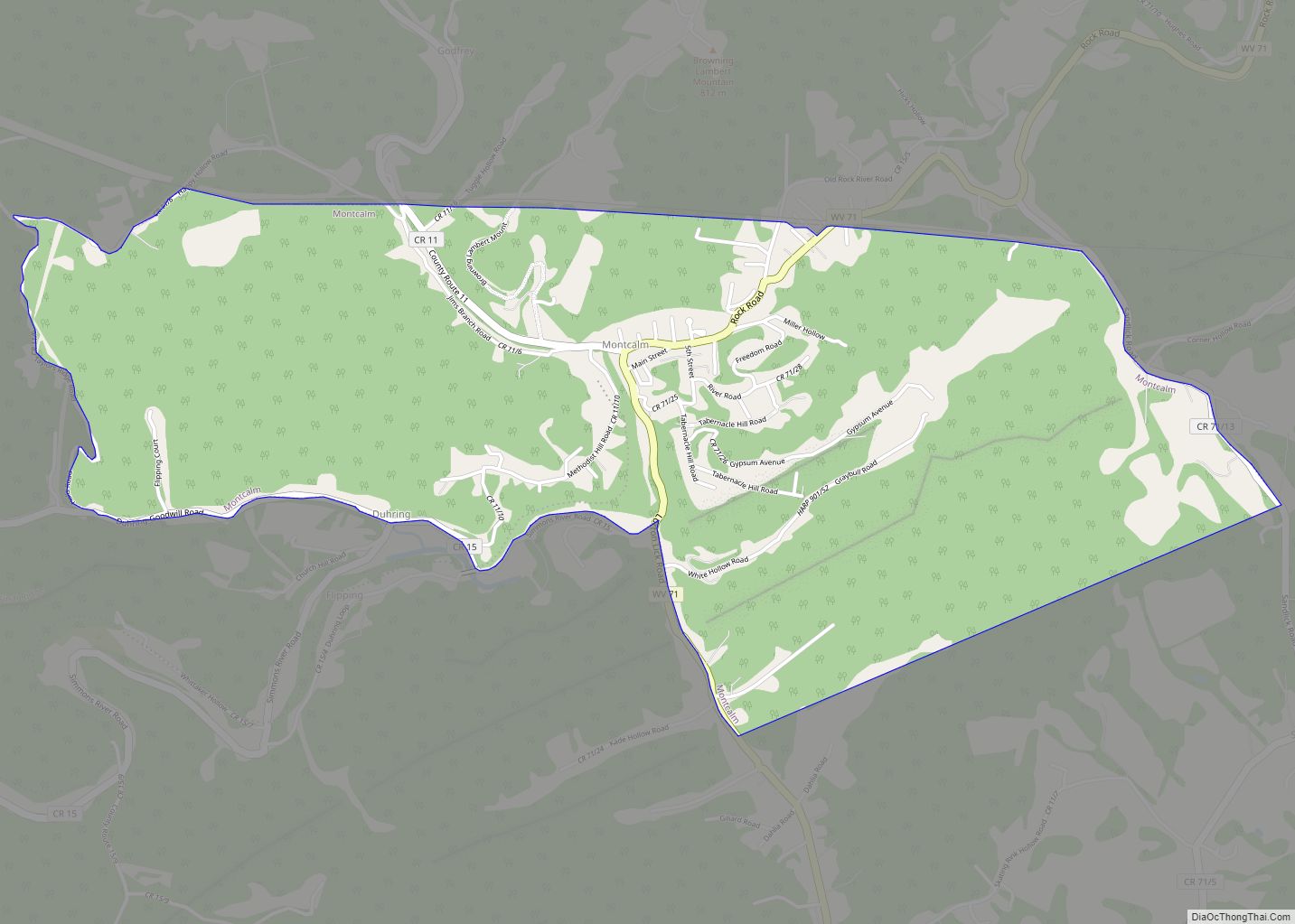
Online Interactive Map
Click on ![]() to view map in "full screen" mode.
to view map in "full screen" mode.
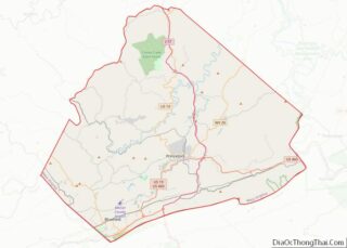
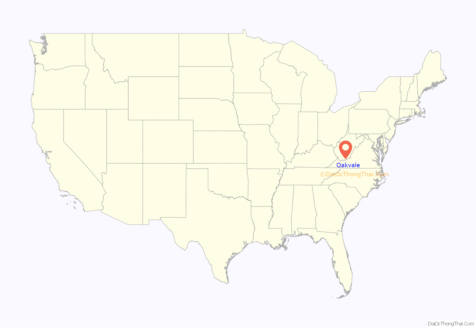
Oakvale location map. Where is Oakvale town?
History
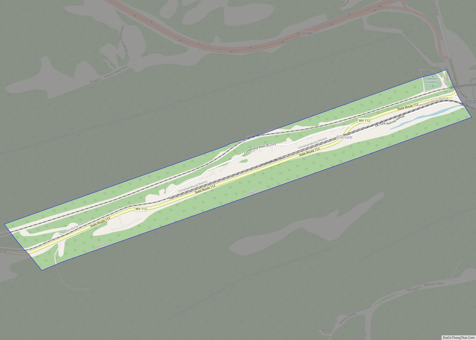
Oakvale was originally known as “Frenchville” after an early settler, Captain Napoleon French. It was renamed Oakvale after the dense stands of oak trees that grew in the valley. The town incorporated in 1907.
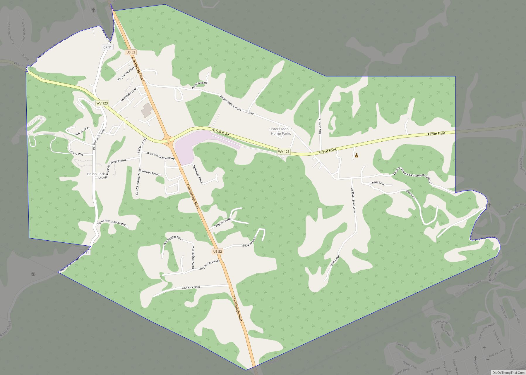
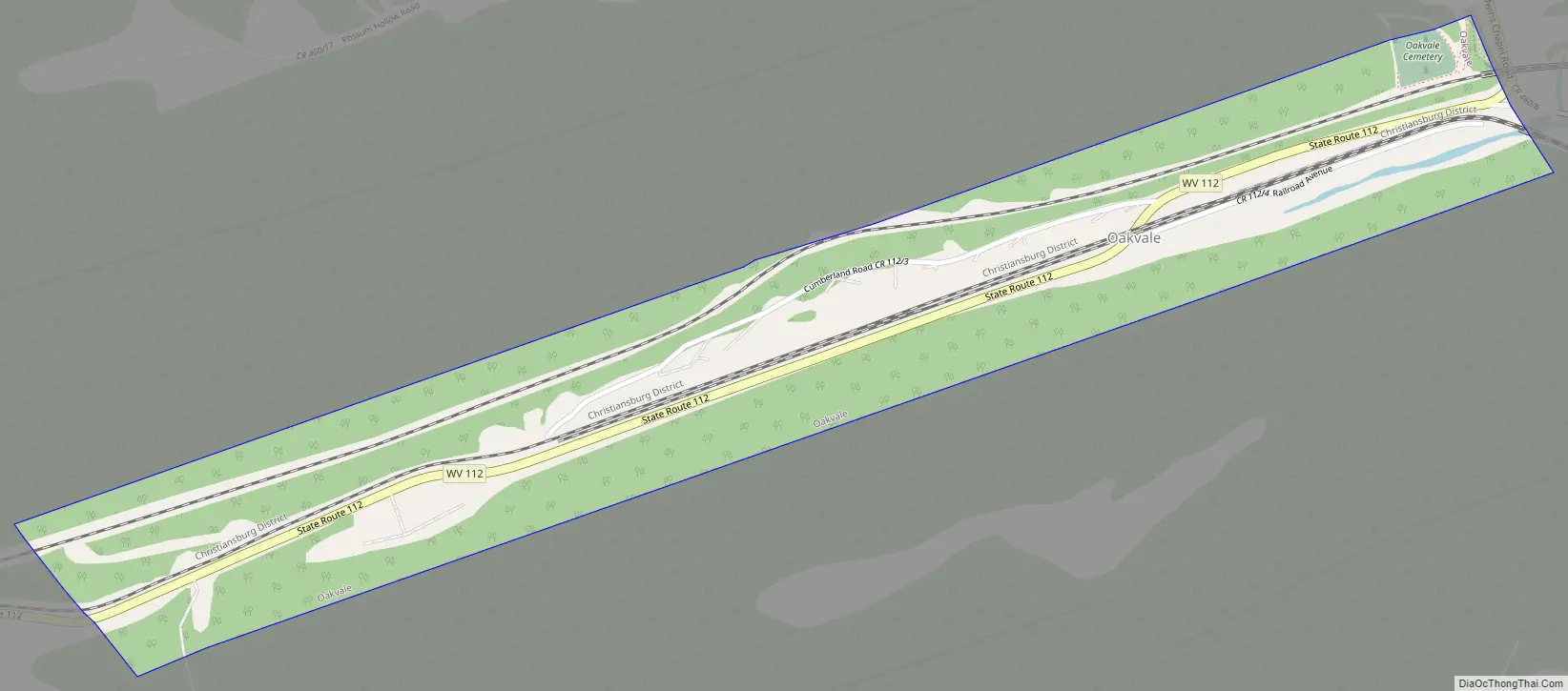
Oakvale Road Map
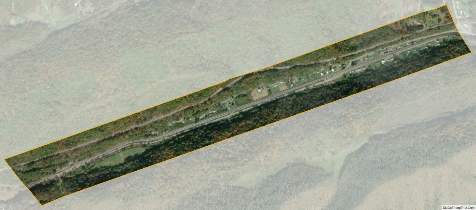
Oakvale city Satellite Map
Geography
Oakvale is located at 37°19′56″N 80°58′8″W / 37.33222°N 80.96889°W / 37.33222; -80.96889 (37.332163, -80.968802). The town is situated in a narrow valley along the East River, a few miles west of the state line between Virginia and West Virginia. West Virginia Route 112 (Ingleside Road) traverses Oakvale, connecting the town with Bluefield to the southwest. U.S. Route 460 passes just north of the town.
According to the United States Census Bureau, the town has a total area of 0.42 square miles (1.09 km), all land.
See also
Map of West Virginia State and its subdivision:- Barbour
- Berkeley
- Boone
- Braxton
- Brooke
- Cabell
- Calhoun
- Clay
- Doddridge
- Fayette
- Gilmer
- Grant
- Greenbrier
- Hampshire
- Hancock
- Hardy
- Harrison
- Jackson
- Jefferson
- Kanawha
- Lewis
- Lincoln
- Logan
- Marion
- Marshall
- Mason
- McDowell
- Mercer
- Mineral
- Mingo
- Monongalia
- Monroe
- Morgan
- Nicholas
- Ohio
- Pendleton
- Pleasants
- Pocahontas
- Preston
- Putnam
- Raleigh
- Randolph
- Ritchie
- Roane
- Summers
- Taylor
- Tucker
- Tyler
- Upshur
- Wayne
- Webster
- Wetzel
- Wirt
- Wood
- Wyoming
- Alabama
- Alaska
- Arizona
- Arkansas
- California
- Colorado
- Connecticut
- Delaware
- District of Columbia
- Florida
- Georgia
- Hawaii
- Idaho
- Illinois
- Indiana
- Iowa
- Kansas
- Kentucky
- Louisiana
- Maine
- Maryland
- Massachusetts
- Michigan
- Minnesota
- Mississippi
- Missouri
- Montana
- Nebraska
- Nevada
- New Hampshire
- New Jersey
- New Mexico
- New York
- North Carolina
- North Dakota
- Ohio
- Oklahoma
- Oregon
- Pennsylvania
- Rhode Island
- South Carolina
- South Dakota
- Tennessee
- Texas
- Utah
- Vermont
- Virginia
- Washington
- West Virginia
- Wisconsin
- Wyoming