Omar is an unincorporated community and census-designated place (CDP) in Logan County, West Virginia, United States. Omar is located along West Virginia Route 44 and Island Creek, 6.5 miles (10.5 km) south of Logan. Omar has a post office with ZIP code 25638. As of the 2010 census, its population was 552.
The community was named after James Omar Cole, one of the original lessors.
Omar in 1935
| Name: | Omar CDP |
|---|---|
| LSAD Code: | 57 |
| LSAD Description: | CDP (suffix) |
| State: | West Virginia |
| County: | Logan County |
| Elevation: | 814 ft (248 m) |
| Total Area: | 1.140 sq mi (2.95 km²) |
| Land Area: | 1.125 sq mi (2.91 km²) |
| Water Area: | 0.015 sq mi (0.04 km²) |
| Total Population: | 552 |
| Population Density: | 490.7/sq mi (189.5/km²) |
| ZIP code: | 25638 |
| Area code: | 304 & 681 |
| FIPS code: | 5460628 |
| GNISfeature ID: | 1544403 |
Online Interactive Map
Click on ![]() to view map in "full screen" mode.
to view map in "full screen" mode.
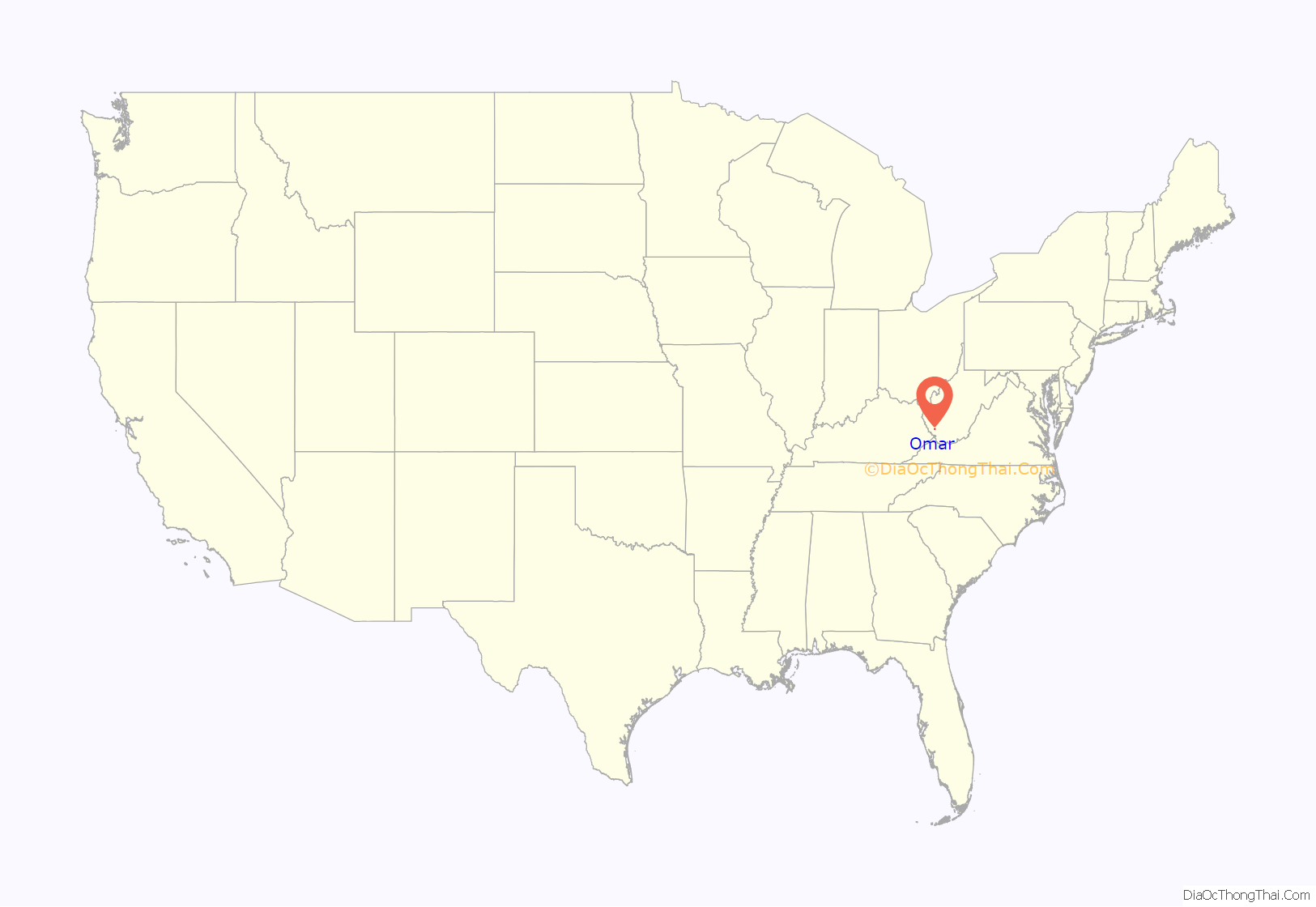
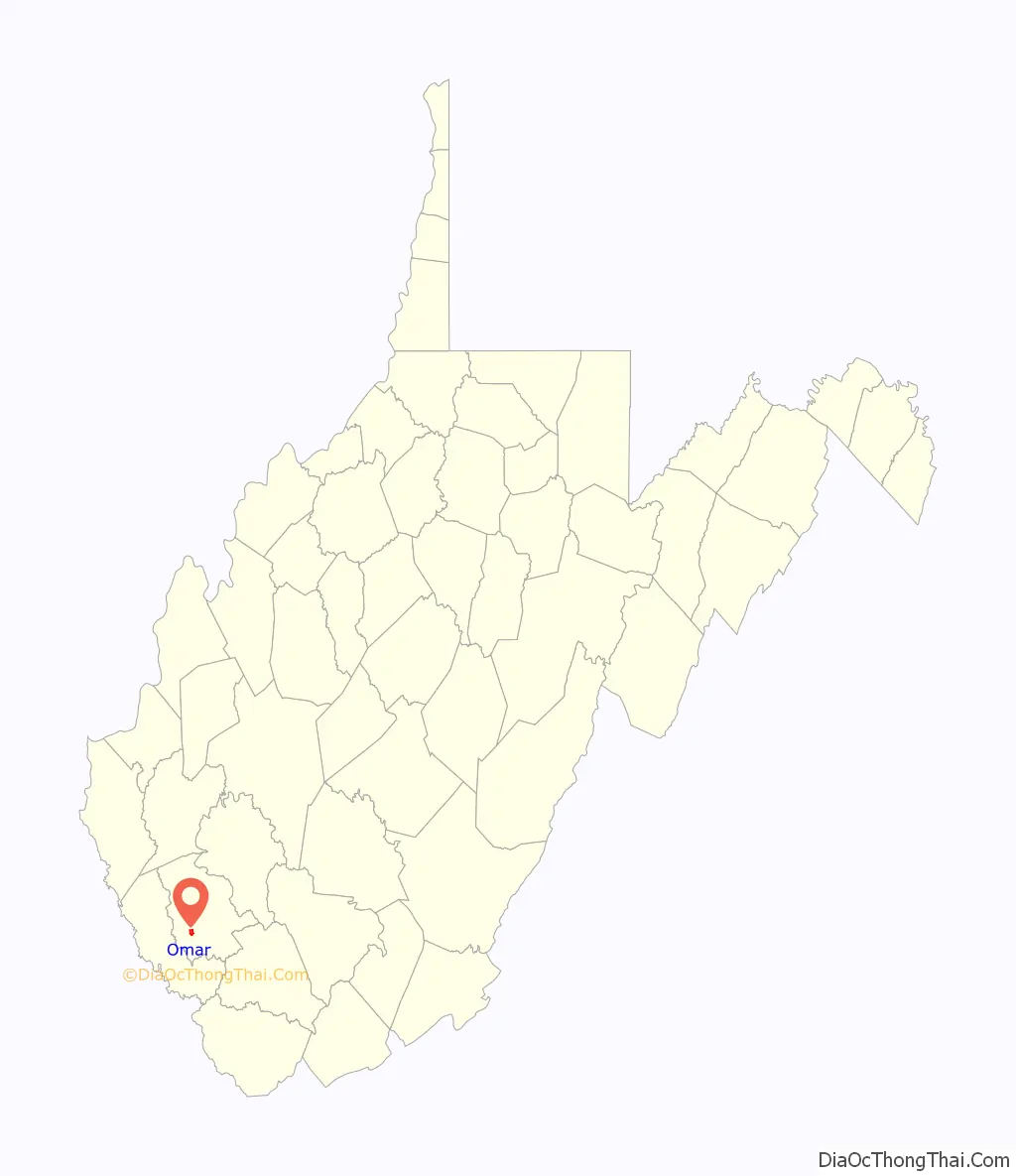
Omar location map. Where is Omar CDP?
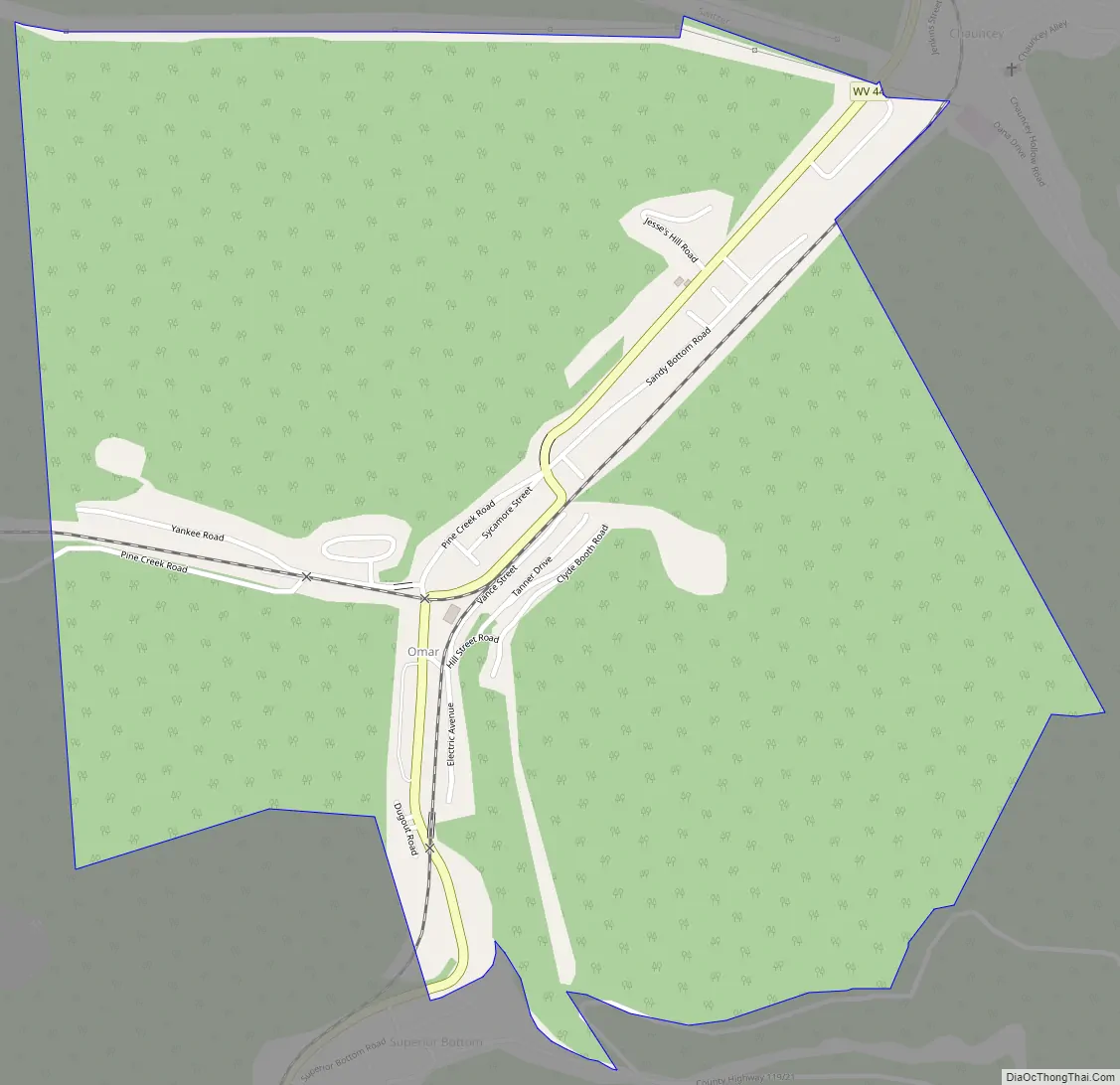
Omar Road Map
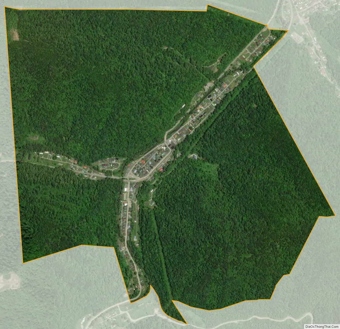
Omar city Satellite Map
See also
Map of West Virginia State and its subdivision:- Barbour
- Berkeley
- Boone
- Braxton
- Brooke
- Cabell
- Calhoun
- Clay
- Doddridge
- Fayette
- Gilmer
- Grant
- Greenbrier
- Hampshire
- Hancock
- Hardy
- Harrison
- Jackson
- Jefferson
- Kanawha
- Lewis
- Lincoln
- Logan
- Marion
- Marshall
- Mason
- McDowell
- Mercer
- Mineral
- Mingo
- Monongalia
- Monroe
- Morgan
- Nicholas
- Ohio
- Pendleton
- Pleasants
- Pocahontas
- Preston
- Putnam
- Raleigh
- Randolph
- Ritchie
- Roane
- Summers
- Taylor
- Tucker
- Tyler
- Upshur
- Wayne
- Webster
- Wetzel
- Wirt
- Wood
- Wyoming
- Alabama
- Alaska
- Arizona
- Arkansas
- California
- Colorado
- Connecticut
- Delaware
- District of Columbia
- Florida
- Georgia
- Hawaii
- Idaho
- Illinois
- Indiana
- Iowa
- Kansas
- Kentucky
- Louisiana
- Maine
- Maryland
- Massachusetts
- Michigan
- Minnesota
- Mississippi
- Missouri
- Montana
- Nebraska
- Nevada
- New Hampshire
- New Jersey
- New Mexico
- New York
- North Carolina
- North Dakota
- Ohio
- Oklahoma
- Oregon
- Pennsylvania
- Rhode Island
- South Carolina
- South Dakota
- Tennessee
- Texas
- Utah
- Vermont
- Virginia
- Washington
- West Virginia
- Wisconsin
- Wyoming


