Pratt is a town in Kanawha County, West Virginia, United States, along the Kanawha River. The population was 482 at the 2020 census.
| Name: | Pratt town |
|---|---|
| LSAD Code: | 43 |
| LSAD Description: | town (suffix) |
| State: | West Virginia |
| County: | Kanawha County |
| Elevation: | 633 ft (193 m) |
| Total Area: | 0.29 sq mi (0.76 km²) |
| Land Area: | 0.29 sq mi (0.74 km²) |
| Water Area: | 0.01 sq mi (0.01 km²) |
| Total Population: | 482 |
| Population Density: | 1,944.06/sq mi (749.59/km²) |
| ZIP code: | 25162 |
| Area code: | 304 |
| FIPS code: | 5465356 |
| GNISfeature ID: | 1555404 |
| Website: | townofpratt.com |
Online Interactive Map
Click on ![]() to view map in "full screen" mode.
to view map in "full screen" mode.
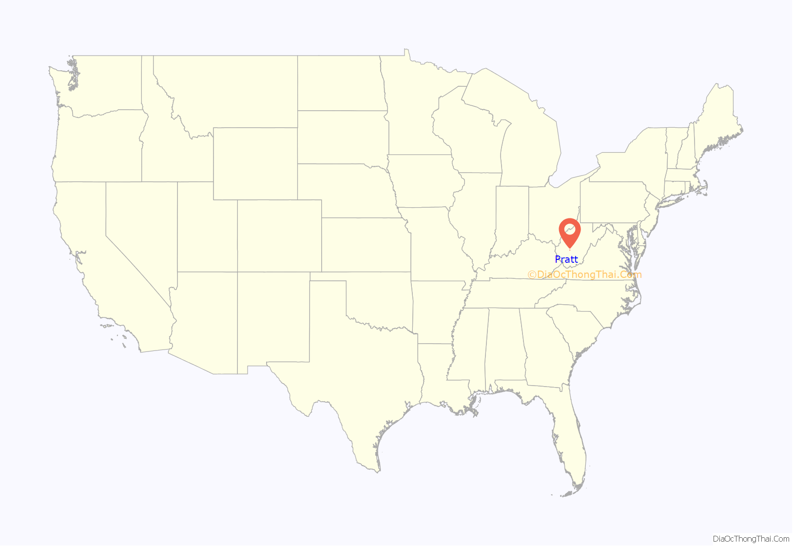
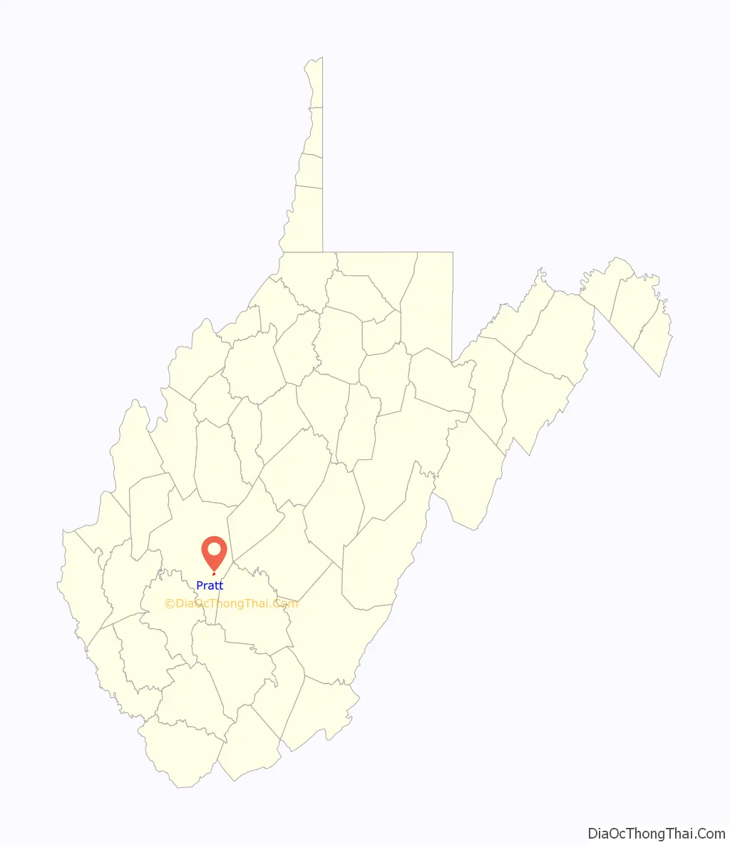
Pratt location map. Where is Pratt town?
History
The Pratt Historic District is listed on the National Register of Historic Places.
Until its incorporation in 1905, the town was known as Clifton. It was renamed Pratt after the owner of the Charles Pratt Coal Company, Charles Pratt. Many of the structures built by that company, including the miners’ clubhouse for and various company houses are still standing.
Pratt Road Map
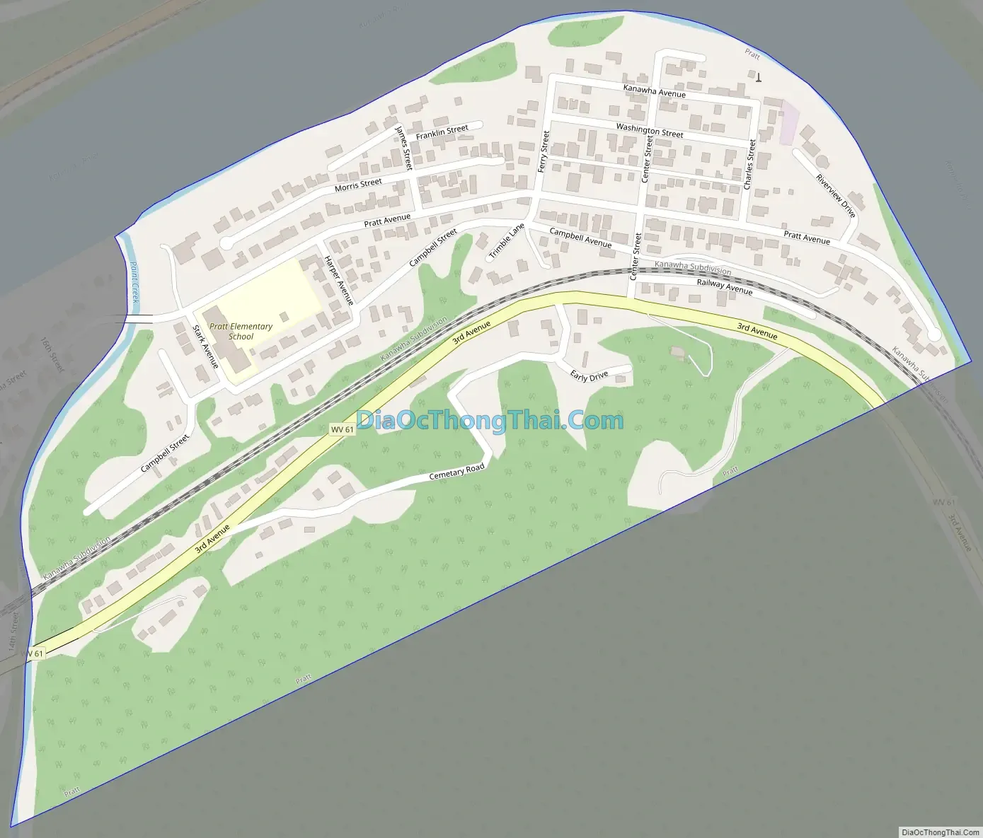
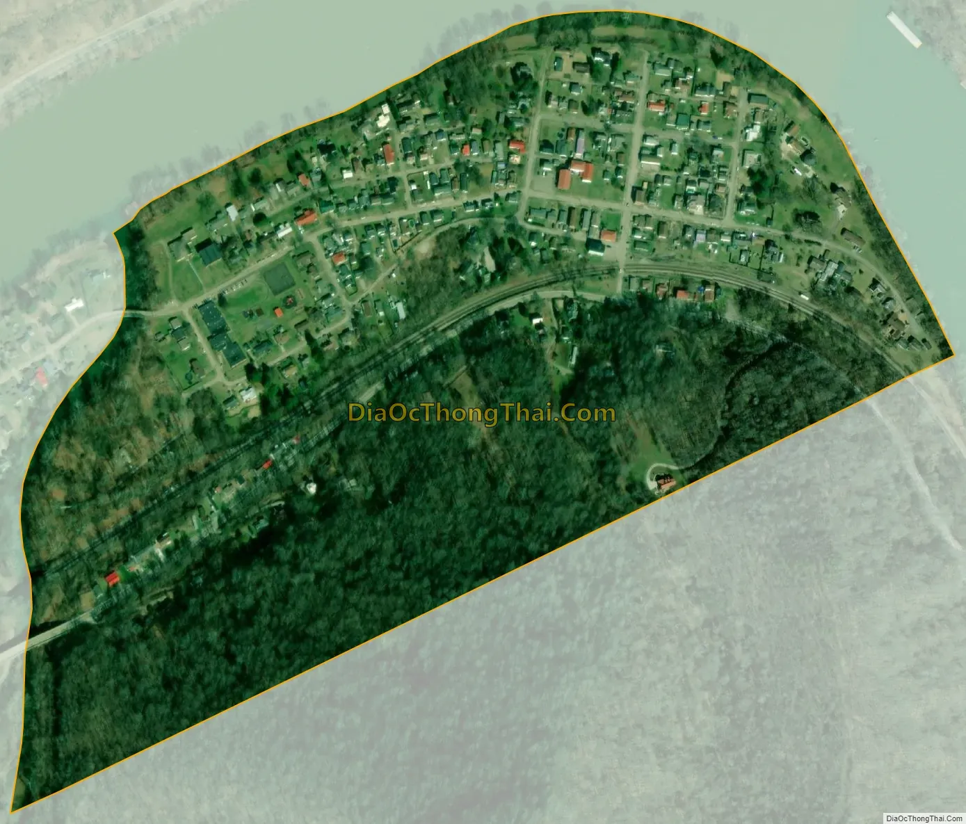
Pratt city Satellite Map
Geography
Pratt is located at 38°12′26″N 81°23′14″W / 38.20722°N 81.38722°W / 38.20722; -81.38722 (38.207149, -81.387354).
According to the United States Census Bureau, the town has a total area of 0.30 square miles (0.78 km), of which 0.29 square miles (0.75 km) is land and 0.01 square miles (0.03 km) is water.
See also
Map of West Virginia State and its subdivision:- Barbour
- Berkeley
- Boone
- Braxton
- Brooke
- Cabell
- Calhoun
- Clay
- Doddridge
- Fayette
- Gilmer
- Grant
- Greenbrier
- Hampshire
- Hancock
- Hardy
- Harrison
- Jackson
- Jefferson
- Kanawha
- Lewis
- Lincoln
- Logan
- Marion
- Marshall
- Mason
- McDowell
- Mercer
- Mineral
- Mingo
- Monongalia
- Monroe
- Morgan
- Nicholas
- Ohio
- Pendleton
- Pleasants
- Pocahontas
- Preston
- Putnam
- Raleigh
- Randolph
- Ritchie
- Roane
- Summers
- Taylor
- Tucker
- Tyler
- Upshur
- Wayne
- Webster
- Wetzel
- Wirt
- Wood
- Wyoming
- Alabama
- Alaska
- Arizona
- Arkansas
- California
- Colorado
- Connecticut
- Delaware
- District of Columbia
- Florida
- Georgia
- Hawaii
- Idaho
- Illinois
- Indiana
- Iowa
- Kansas
- Kentucky
- Louisiana
- Maine
- Maryland
- Massachusetts
- Michigan
- Minnesota
- Mississippi
- Missouri
- Montana
- Nebraska
- Nevada
- New Hampshire
- New Jersey
- New Mexico
- New York
- North Carolina
- North Dakota
- Ohio
- Oklahoma
- Oregon
- Pennsylvania
- Rhode Island
- South Carolina
- South Dakota
- Tennessee
- Texas
- Utah
- Vermont
- Virginia
- Washington
- West Virginia
- Wisconsin
- Wyoming