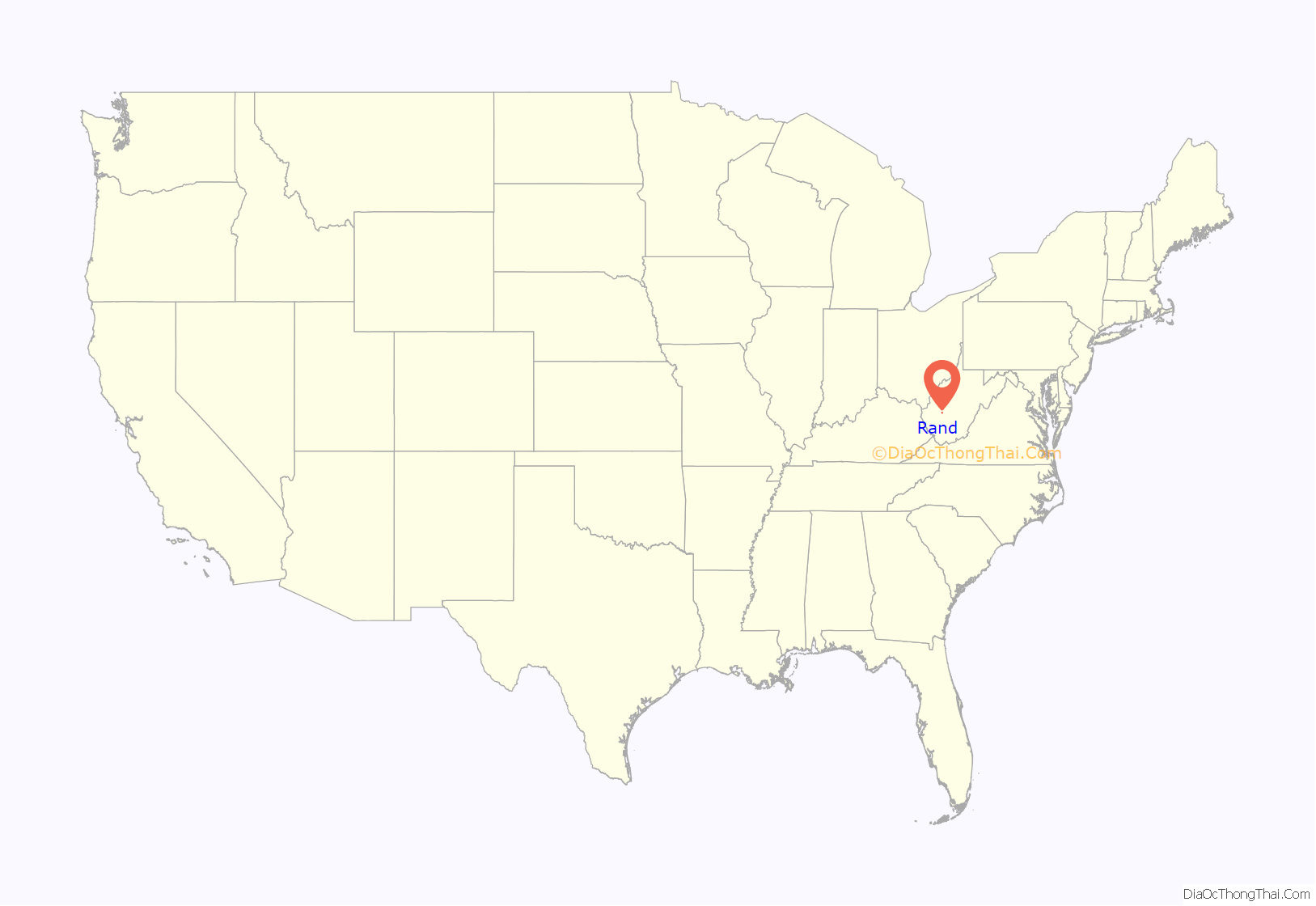
Rand is a census-designated place (CDP) on the Kanawha River in Kanawha County, West Virginia, United States. As of the 2010 census, its population was 1,631. It is surrounded by the communities of Malden and DuPont City.
| Name: | Rand CDP |
|---|---|
| LSAD Code: | 57 |
| LSAD Description: | CDP (suffix) |
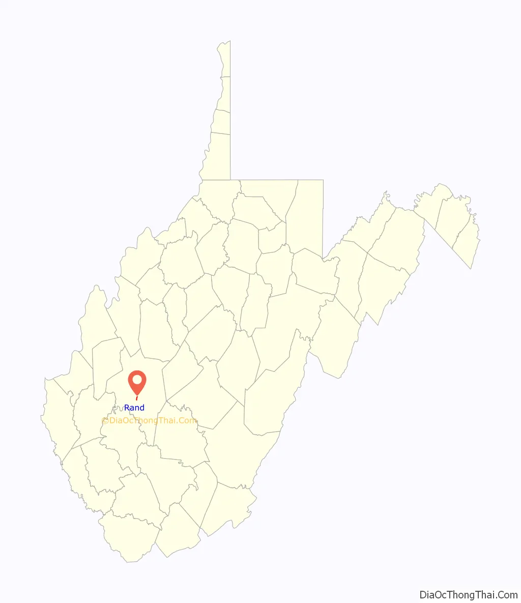
| State: | West Virginia |
| County: | Kanawha County |
| Total Area: | 0.461 sq mi (1.19 km²) |
| Land Area: | 0.461 sq mi (1.19 km²) |
| Water Area: | 0 sq mi (0 km²) |
| Total Population: | 1,631 |
| Population Density: | 3,500/sq mi (1,400/km²) |
| FIPS code: | 5466892 |
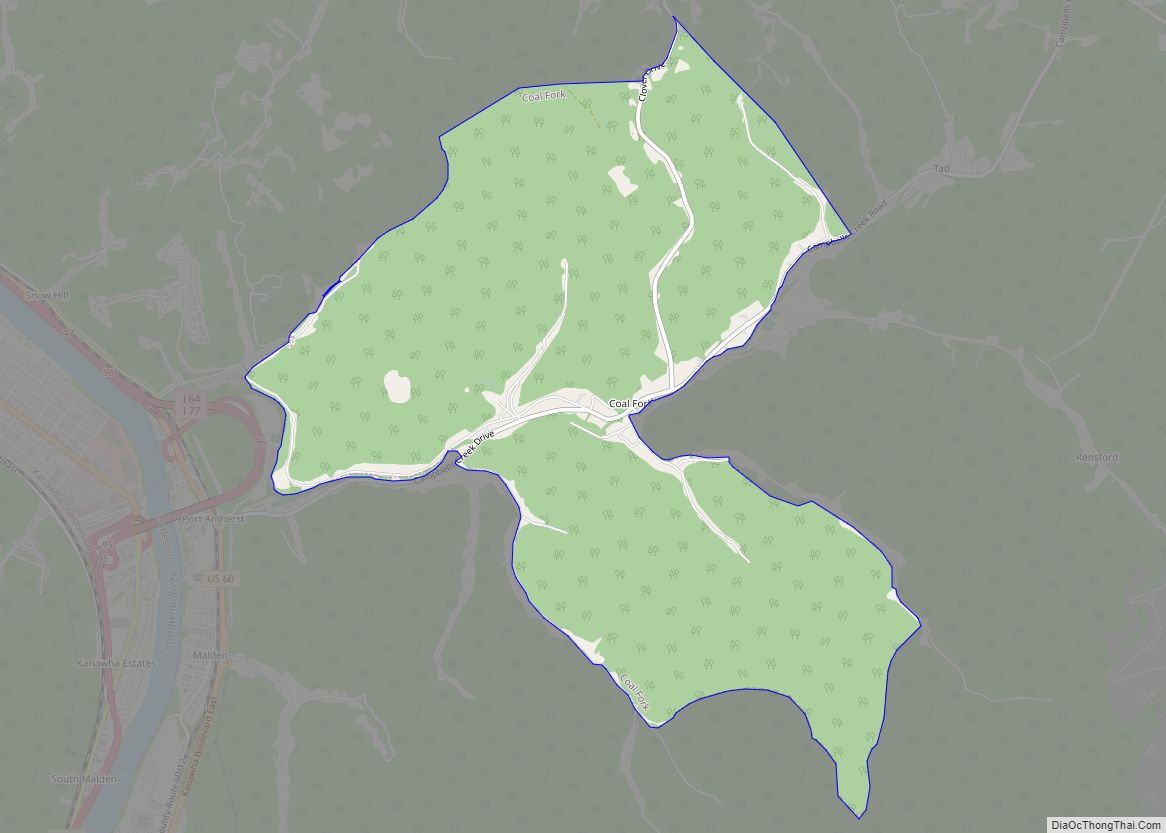
Online Interactive Map
Click on ![]() to view map in "full screen" mode.
to view map in "full screen" mode.
Rand location map. Where is Rand CDP?
History
The unincorporated community within the historic Kanawha Salines area, was named after Plus Rand Levi, son of Mordecai Levi, patent holder of the Brick Road. Originally named “Plus” in 1907–1909 when large tract was purchased from Dickinson family. But due to a town already called plus, the community would become known as Levi until around the 1930s or 1940s where it would change again due to a town in Braxton county already named Levi, thus adopting the current name of Rand.
Rand Road Map
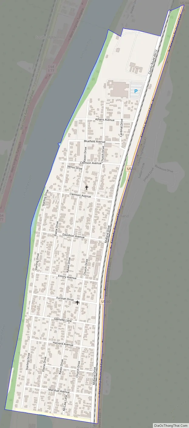
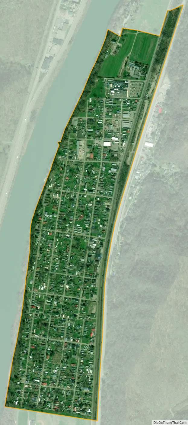
Rand city Satellite Map
See also
Map of West Virginia State and its subdivision:- Barbour
- Berkeley
- Boone
- Braxton
- Brooke
- Cabell
- Calhoun
- Clay
- Doddridge
- Fayette
- Gilmer
- Grant
- Greenbrier
- Hampshire
- Hancock
- Hardy
- Harrison
- Jackson
- Jefferson
- Kanawha
- Lewis
- Lincoln
- Logan
- Marion
- Marshall
- Mason
- McDowell
- Mercer
- Mineral
- Mingo
- Monongalia
- Monroe
- Morgan
- Nicholas
- Ohio
- Pendleton
- Pleasants
- Pocahontas
- Preston
- Putnam
- Raleigh
- Randolph
- Ritchie
- Roane
- Summers
- Taylor
- Tucker
- Tyler
- Upshur
- Wayne
- Webster
- Wetzel
- Wirt
- Wood
- Wyoming
- Alabama
- Alaska
- Arizona
- Arkansas
- California
- Colorado
- Connecticut
- Delaware
- District of Columbia
- Florida
- Georgia
- Hawaii
- Idaho
- Illinois
- Indiana
- Iowa
- Kansas
- Kentucky
- Louisiana
- Maine
- Maryland
- Massachusetts
- Michigan
- Minnesota
- Mississippi
- Missouri
- Montana
- Nebraska
- Nevada
- New Hampshire
- New Jersey
- New Mexico
- New York
- North Carolina
- North Dakota
- Ohio
- Oklahoma
- Oregon
- Pennsylvania
- Rhode Island
- South Carolina
- South Dakota
- Tennessee
- Texas
- Utah
- Vermont
- Virginia
- Washington
- West Virginia
- Wisconsin
- Wyoming